Waipakihi Hut
Standard hutKaimanawa Forest Park, WaikatoOpen
Current advisories
Deer control operation at Kaimanawa Remote Experience Zone
28 September 2026
The NZ Game Animal Council and Sika Foundation are undertaking deer management operations on the true left of the Waipakihi River and in the Kaimanawa Remote Experience Zone (REZ) between 20 October and 6 December 2026. For more information go to Game Animal Council New Zealand or email info@nzgac.org.nz First published on 29 September 2026.
Source: DOC Te Papa Atawhai alerts.
- Sleeps
- 12 bunks
- Booking
- Not bookable
- Cost
- from $15
- Heating
- Yes
- Drinking water
- Boil first
- Toilet
- Non-flush
Getting there
We have not checked a road end or car park for this place yet, so we do not give driving directions to it. Check how to get there before you go. Some routes cross private land and need the landowner's permission.
How to get there, on doc.govt.nz- Topo map
- Topo50 sheet BH36
Source: DOC Te Papa Atawhai.
Map and tracks
Track lines: DOC Te Papa Atawhai. Map data © OpenStreetMap contributors. Topo map: LINZ, CC BY 4.0. 39.12394° S, 175.95829° E
About this place
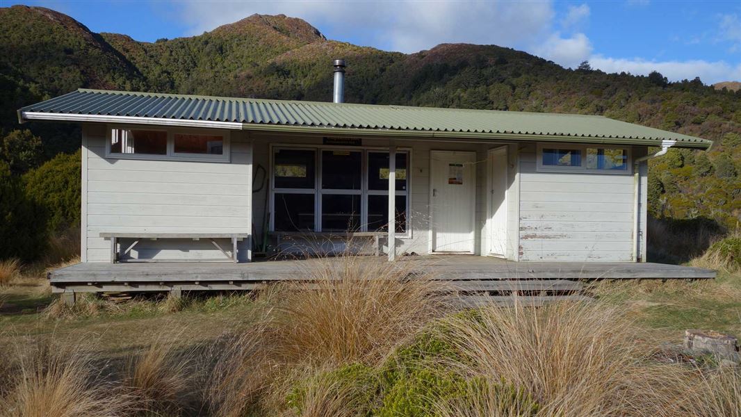
This 12-bunk hut sits in the Waipakihi River Valley, part of the Kaimanawa Forest Park.
On the way here
Urchin Track (to Waipakihi Valley) · 3 - 4 hr one way
From the track entrance, the track climbs steadily up through beech forest to the bush line. After the bush line, the track continues to climb towards the summit of Urchin. It passes an interesting array of alpine plants. The Urchin trig is located at 1391 m, usually reached 2-2 hours 30 mins from the road end. The trig is a good place to stop for lunch, with a wide vista of Lake Taupō and the volcanoes of the Tongariro National Park. From the trig, the track travels for about 2 km across the open tops. You reach a track junction, with the option of descending off the side of the ridge or continuing along a ridge towards Umukarikari (U2 Route). Take the right-hand track, to descend off the ridge. The track descends steeply into the middle reaches of the Waipakihi River Valley. There are many great places to camp in the valley or you can continue upstream to Waipākihi Hut near the top of the valley (an additional 5 - 6 hours of tramping). There is no marked route to Waipakihi Hut, you will need to follow the river valley. It will be dangerous if the river is high (for example, during/following heavy rain). Assess the river carefully and don’t attempt this trip if you aren’t confident that it’s safe. Genesis Energy monitors flows in the Waipakihi River, see Genesis Energy website or phone +64 7 386 8113.
Umukarikari Track (to Waipakihi Hut) · 6 - 8 hr one way
From the road end, Umukarikari Track climbs steadily through beech forest to the treeline. From there it follows a poled route along the Umukarikari Range, with spectacular views across the Kaimanawa Forest Park, Lake Taupō and the volcanoes. The route passes Sharp Cone (1481 m) and the Umukarikari summit (1561 m). From the summit, the route follows a long, open ridge. At the end of the ridge, the track drops down into the Waipahiki Valley. The route crosses the Waipakihi River. This crossing is not bridged, so take care – it may not be passable during/after heavy rain. From the true left of the river, a short track leads up to Waipakihi Hut. The hut is popular with hunters and trampers. It has excellent views of the river valley and the Kaimanawa tops.
Waipakihi Middle Range Route · 1 hr
Follow the track down from Waipakihi Hut to Waipahiki River. Follow the markers downstream to the bush edge. The route then climbs a steep ridge through the bush. It reaches the bush line at around 1300m, then continues to climb to the high point at 1475 m.
Source: DOC Te Papa Atawhai.
Know before you go
Weather forecast
Waipakihi Hut weather forecast – NIWA website
Source: DOC Te Papa Atawhai.
Fees and bookings
Before you go, buy Hut Tickets for each night's stay. Put these in the honesty box at the hut. Or buy a Backcountry Hut Pass that gives unlimited use at most Standard and Serviced huts for a 12 month period. Retailers that sell hut tickets and passes
Source: DOC Te Papa Atawhai.
On these tracks
Source: DOC Te Papa Atawhai.
Nearby stops
Rangitikei Hut
Manawatū-Whanganui • 4.3 km
Rangitikei Hut is a backcountry hut located in the Manawatū-Whanganui region. It provides basic shelter for hikers and tramps in the area.

Waikoko Campsite
Basic • Waikato • 11.1 km
Waikoko Campsite is the main campsite of five located along Waikoko stream in the Waikato region. It sits in a large, sunny clearing above the river.
Fire pit/place for campfires (except in fire bans) • Non-powered/tent sites • Shelter for cooking
Freedom Camping for Self Contained Vehicles
Waikato • 11.2 km
Freedom Camping for Self Contained Vehicles is a campsite located in the Waikato region. It provides a location for self contained vehicles to park and camp.

Kaimanawa Road Campsite
Basic • Waikato • 11.5 km
Kaimanawa Road Campsite is a basic campsite located within the Kaimanawa Forest Park in the Waikato region. It serves as a starting point for many forest walks…
Fire pit/place for campfires (except in fire bans) • Non-powered/tent sites • Toilets - non-flush

Urchin Campsite
Basic • Waikato • 12.1 km
Urchin Campsite is a popular campsite in the Waikato region that serves as a base for hunting, tramping, walking, and mountain biking. A variety of tracks are…
Fire pit/place for campfires (except in fire bans) • Non-powered/tent sites • Water from stream
Walks nearby
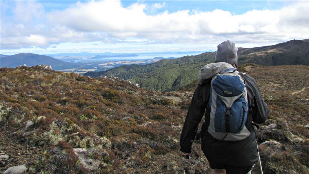
Urchin to Umukarikari (U2U) track
Advanced • 8 hr 30 min - 10 hr • 18.5 km • 7.04 km away
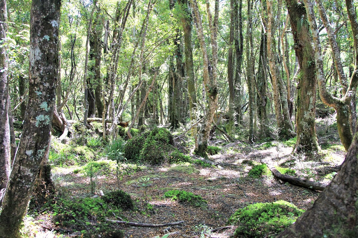
Ngapuketurua Track
Advanced • 4-5 hr one way • 5.5 km • 10.07 km away
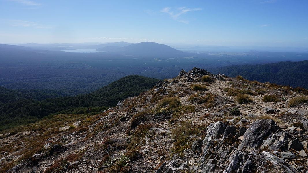
Mt Urchin Trig Track
Advanced • 3–4 hr • 6.6 km • 11.06 km away
Kaimanawa Forest Loop Walk
Easy • 20 min • 1.1 km • 11.92 km away
Kiko Loop Track
Easy • 1 hr - 1 hr 30 min • 3.9 km • 11.98 km away
Contact
DOC Customer Service Centre
Regional DOC service centre.
Notes from people who have been
No notes yet. If you have been, say what you found.
Something missing or out of date?
Closed, moved, wrong facts, or something we have missed? Travellers keep the Road Guide up to date. Tell us what you found at contribute@parkup.nz and we will check it and add it.
Ask us to take this down
A person reads every request. We do not remove a place until we have checked it.
Sources
- DOC Huts (API) · CC BY 4.0Crown Copyright: Department of Conservation Te Papa Atawhai. Data sourced from the DOC Developer Portal (api.doc.govt.nz).
- OpenStreetMap Huts · ODbL (Open Database License)Contains information from OpenStreetMap, made available under the ODbL.
- DOC Huts · CC BY 4.0Data sourced from the Department of Conservation (DOC), New Zealand.