Mt Urchin Trig Track
WalkWaikato
- Grade
- Advanced
- Walking time
- 4 hr
- Distance
- 6.6 km
- Dogs
- DOC permit only
Getting there
We have not checked a road end or car park for this place yet, so we do not give driving directions to it. Check how to get there before you go. Some routes cross private land and need the landowner's permission.
How to get there, on doc.govt.nzMap
Map data © OpenStreetMap contributors. Topo map: LINZ, CC BY 4.0. 39.16518° S, 175.84162° E
About this place
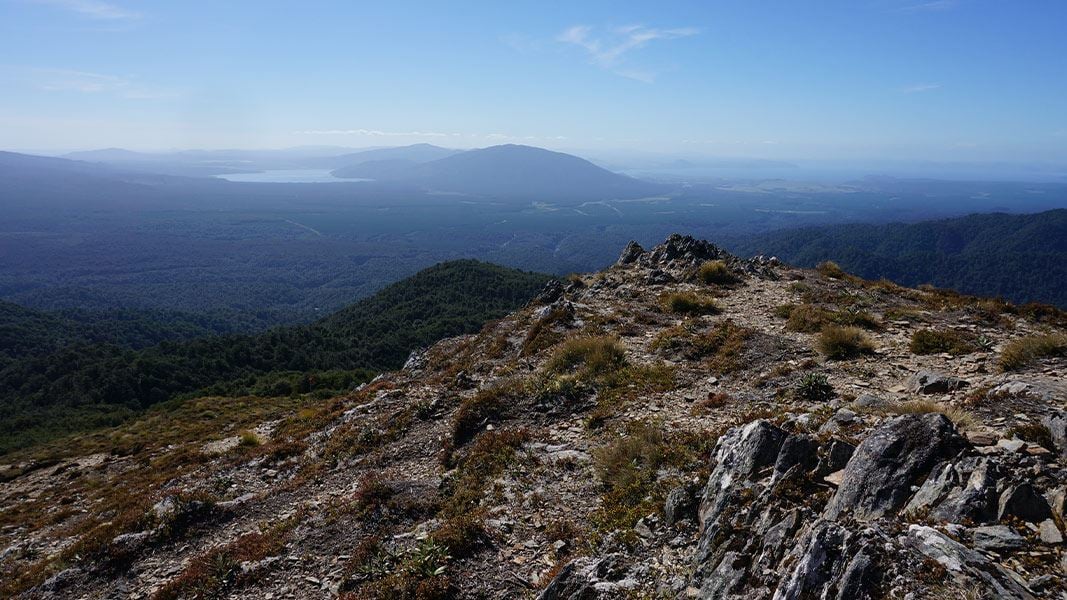
Mount Urchin offers an easily accessible wilderness of beautiful beech forest, incredible views and a real alpine environment.
The route
The track climbs steadily up through beech forest and above the bush line to the Urchin Trig (1391 m). The upper section of the track has an interesting array of alpine plants and a wide vista of Lake Taupō and the volcanoes of the Tongariro National Park.
Mountain biking
No mountain biking allowed.
Source: DOC Te Papa Atawhai.
Know before you go
Check the forecast
The weather in Kaimanawa Forest Park is extremely changeable. Be prepared for cold and wet conditions even in summer, by carrying a waterproof jacket and warm clothing. Check weather forecast
Pack well for your day walk
Find a day walk packing list here There are no water sources on the track, carry plenty of water. The track is rough and uneven underfoot, we recommend sturdy footwear.
Source: DOC Te Papa Atawhai.
Nearby stops

Urchin Campsite
Basic • Waikato • 2 km
Urchin Campsite is a popular campsite in the Waikato region that serves as a base for hunting, tramping, walking, and mountain biking. A variety of tracks are…
Fire pit/place for campfires (except in fire bans) • Non-powered/tent sites • Water from stream
Freedom Camping for Self Contained Vehicles
Waikato • 3.2 km
Freedom Camping for Self Contained Vehicles is a campsite located in the Waikato region. It provides a location for self contained vehicles to park and camp.

Waikoko Campsite
Basic • Waikato • 3.3 km
Waikoko Campsite is the main campsite of five located along Waikoko stream in the Waikato region. It sits in a large, sunny clearing above the river.
Fire pit/place for campfires (except in fire bans) • Non-powered/tent sites • Shelter for cooking

Kaimanawa Road Campsite
Basic • Waikato • 3.4 km
Kaimanawa Road Campsite is a basic campsite located within the Kaimanawa Forest Park in the Waikato region. It serves as a starting point for many forest walks…
Fire pit/place for campfires (except in fire bans) • Non-powered/tent sites • Toilets - non-flush

Waipakihi Hut
Standard • 12 bunks • Waikato • 11.1 km
Waipakihi Hut is a 12-bunk hut located in the Waipakihi River Valley. It is situated within the Kaimanawa Forest Park in the Waikato region.
Heating • Mattresses • Toilets - non-flush
Walks nearby
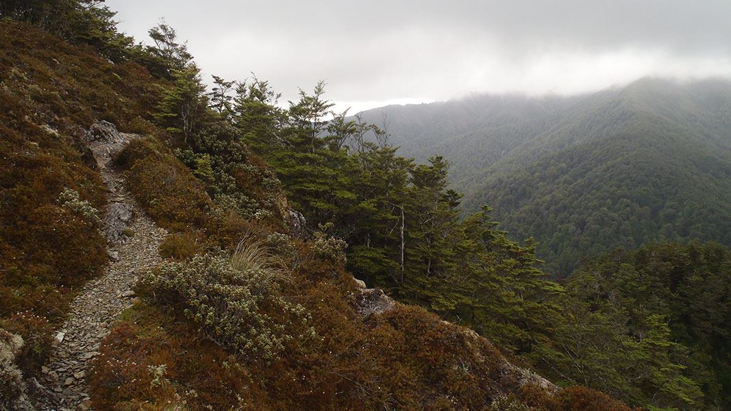
Urchin Track (to Waipakihi Valley)
Advanced • 3 - 4 hr one way • 7 km • 1.29 km away
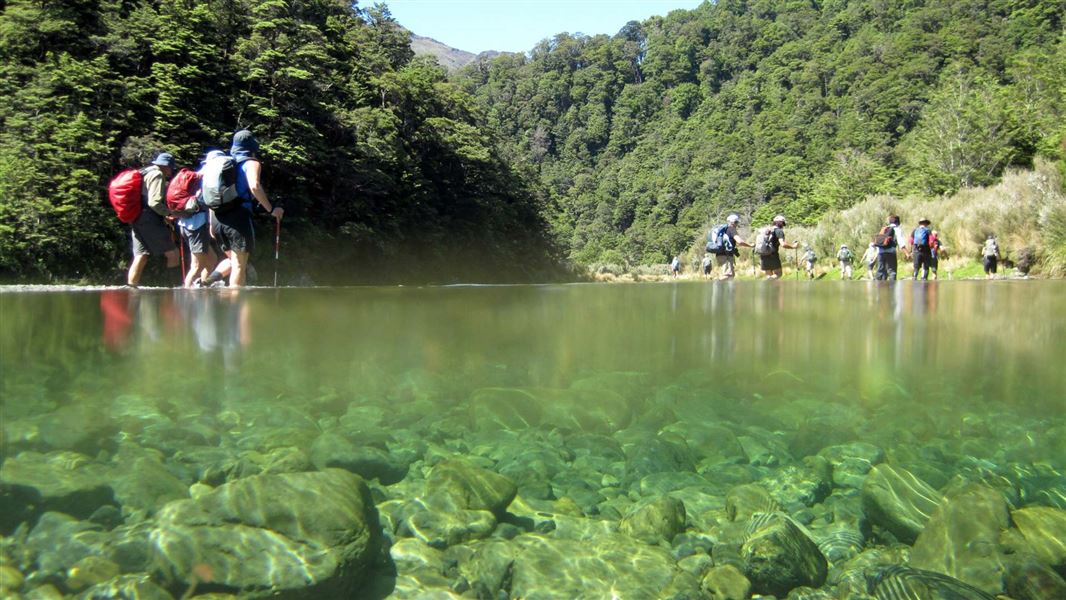
Waipakihi Valley (Waipakihi Road end to Waipakihi Hut)
Expert • 8 - 12 hr • 1.29 km away
Kaimanawa Forest Loop Walk
Easy • 20 min • 1.1 km • 1.83 km away
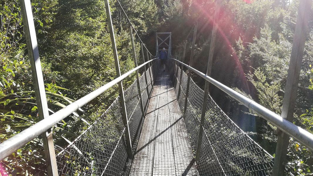
Urchin Campsite to Pillars of Hercules
Easy • 30 min • 1.5 km • 2.38 km away
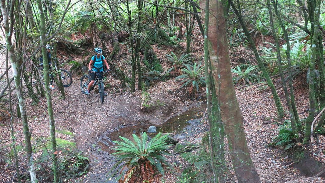
Tree Trunk Gorge tracks
Advanced • 1 hr 30 min • 5 km | 17 km • 2.6 km away
Notes from people who have been
No notes yet. If you have been, say what you found.
Something missing or out of date?
Closed, moved, wrong facts, or something we have missed? Travellers keep the Road Guide up to date. Tell us what you found at contribute@parkup.nz and we will check it and add it.
Ask us to take this down
A person reads every request. We do not remove a place until we have checked it.
Sources
- DOC Tracks (API) · CC BY 4.0Crown Copyright: Department of Conservation Te Papa Atawhai. Data sourced from the DOC Developer Portal (api.doc.govt.nz).