Thunderbolt Track
WalkWaikatoOpen
- Grade
- Expert
- Walking time
- 1 hr
- Distance
- 1.3 km
- Dogs
- DOC permit only
Getting there
We have not checked a road end or car park for this place yet, so we do not give driving directions to it. Check how to get there before you go. Some routes cross private land and need the landowner's permission.
How to get there, on doc.govt.nzThis route begins in the Waipakihi River and must be reached via untracked riverbed travel.
For information about Waipakihi River tramping, see Waipakihi Valley.
For other access routes into the valley, see Urchin Track and Umukarikari Track.
Source: DOC Te Papa Atawhai.
Map and tracks
Track lines: DOC Te Papa Atawhai. Map data © OpenStreetMap contributors. Topo map: LINZ, CC BY 4.0. 39.17772° S, 175.89470° E
Got a good photo of this place? Send it to us and we will show it with your name.
About this place
A popular access route for hunters, from Waipakihi River to the Thunderbolt tops.
The route
Thunderbolt Track begins on the true left of the Waipakihi River, approximately halfway between Thunderbolt Creek and the point where Urchin Track ends in the Waipakihi River valley. It is a short, steep route which climbs straight up a steep ridge towards Motutere (1646 m). The track ends at the bush line. There are no tracks or poled routes along the tops from here, if you are continuing across the tops then you will need to navigate yourself. It is only suitable for experienced trampers/hunters with good navigational skills and appropriate equipment (map and compass, GPS). Poor weather can make navigation very difficult.
Source: DOC Te Papa Atawhai.
Know before you go
Be prepared for cold, wet weather at any time of year
The weather in Kaimanawa Forest Park is extremely changeable. Visitors should be prepared for cold wet conditions even in summer. Frosts and snow are likely on high ground throughout the year. The annual rainfall is approximately 3500 mm and decreases towards the east. Always carry warm and waterproof clothing. Check weather forecast
Pack for a remote, backcountry area
The Kaimanawa Forest Park is a remote area and you can expect rough, tramping tracks. It is best suited to experienced trampers with river crossing, navigation and backcountry skills. Pack to be self-sufficient by packing everything on this tramping packing list. There is no cell phone coverage in many parts of the park. Always carry a distress beacon.
Check the fire danger
During periods of extreme fire danger the lighting of fires in the open may be prohibited. Check the fire danger on checkitsalright.nz Even when fires are allowed, we recommend using portable stoves rather than lighting open fires. If you must use a wood fire, obtain firewood from dead trees only.
Source: DOC Te Papa Atawhai.
Joins these tracks
Source: DOC Te Papa Atawhai.

Nearby stops

Urchin Campsite
Basic • Waikato • 6.7 km
Urchin Campsite is a popular campsite in the Waikato region that serves as a base for hunting, tramping, walking, and mountain biking. A variety of tracks are…
Fire pit/place for campfires (except in fire bans) • Non-powered/tent sites • Water from stream
Freedom Camping for Self Contained Vehicles
Waikato • 7.1 km
Freedom Camping for Self Contained Vehicles is a campsite located in the Waikato region. It provides a location for self contained vehicles to park and camp.

Waikoko Campsite
Basic • Waikato • 7.1 km
Waikoko Campsite is the main campsite of five located along Waikoko stream in the Waikato region. It sits in a large, sunny clearing above the river.
Fire pit/place for campfires (except in fire bans) • Non-powered/tent sites • Shelter for cooking

Kaimanawa Road Campsite
Basic • Waikato • 7.4 km
Kaimanawa Road Campsite is a basic campsite located within the Kaimanawa Forest Park in the Waikato region. It serves as a starting point for many forest walks…
Fire pit/place for campfires (except in fire bans) • Non-powered/tent sites • Toilets - non-flush
Rangitikei Hut
Manawatū-Whanganui • 9.8 km
Rangitikei Hut is a backcountry hut located in the Manawatū-Whanganui region. It provides basic shelter for hikers and tramps in the area.
Walks nearby
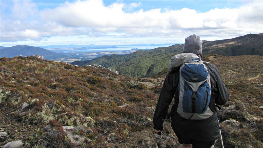
Urchin to Umukarikari (U2U) track
Advanced • 8 hr 30 min - 10 hr • 18.5 km • 2.27 km away
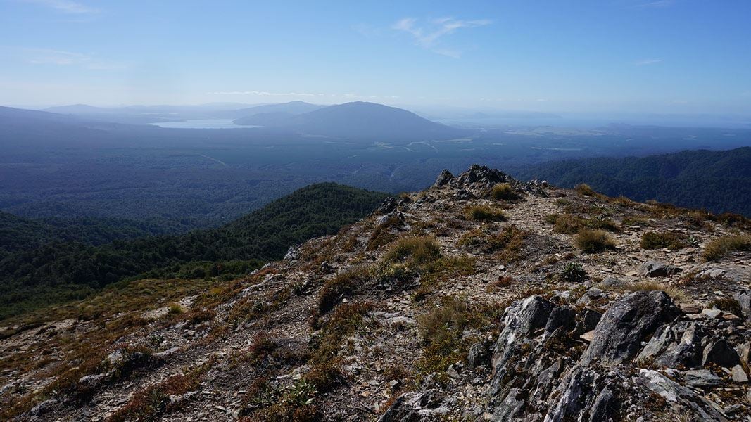
Mt Urchin Trig Track
Advanced • 3–4 hr • 6.6 km • 4.78 km away
Kaimanawa Forest Loop Walk
Easy • 20 min • 1.1 km • 6.49 km away
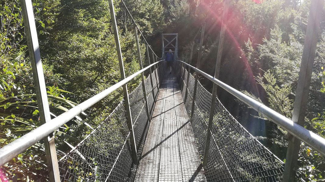
Urchin Campsite to Pillars of Hercules
Easy • 30 min • 1.5 km • 7.02 km away
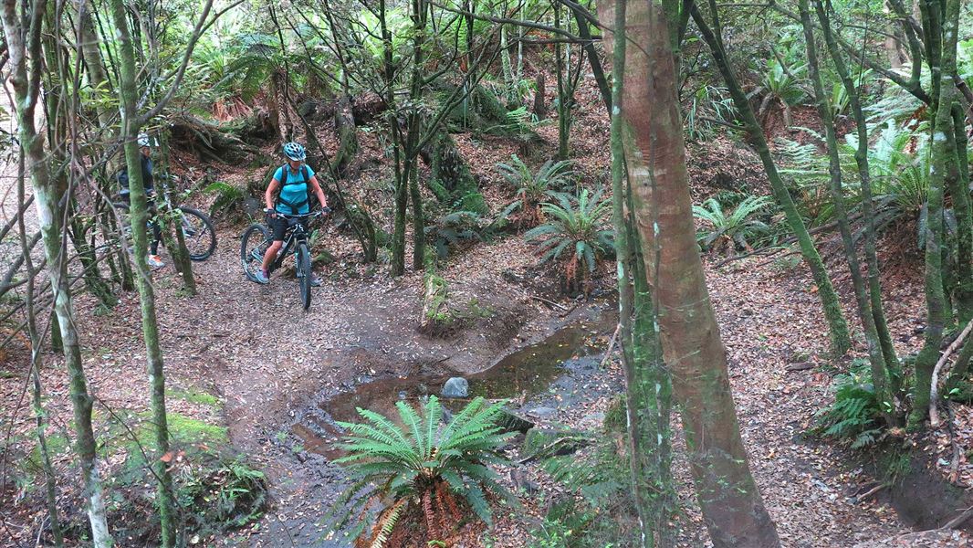
Tree Trunk Gorge tracks
Advanced • 1 hr 30 min • 5 km | 17 km • 7.38 km away
Notes from people who have been
No notes yet. If you have been, say what you found.
Something missing or out of date?
Closed, moved, wrong facts, or something we have missed? Travellers keep the Road Guide up to date. Tell us what you found at contribute@parkup.nz and we will check it and add it.
Ask us to take this down
A person reads every request. We do not remove a place until we have checked it.
Sources
- DOC Tracks & Trails · CC BY 4.0Data sourced from the Department of Conservation (DOC), New Zealand.
- DOC Tracks (API) · CC BY 4.0Crown Copyright: Department of Conservation Te Papa Atawhai. Data sourced from the DOC Developer Portal (api.doc.govt.nz).