Wainui Falls Track
WalkTasmanOpen
- Grade
- Easy
- Walking time
- 1 hr
- Distance
- 3.4 km
- Route
- Return
- Dogs
- No dogs
Getting there
We have not checked a road end or car park for this place yet, so we do not give driving directions to it. Check how to get there before you go. Some routes cross private land and need the landowner's permission.
How to get there, on doc.govt.nzThe nearest town in Tākaka (20 km).
The track begins from a car park at Wainui Bay – look for the signpost about 300 m after crossing the Wainui River Bridge.
Source: DOC Te Papa Atawhai.
Map
Map data © OpenStreetMap contributors. Topo map: LINZ, CC BY 4.0. 40.84431° S, 172.93471° E
About this place
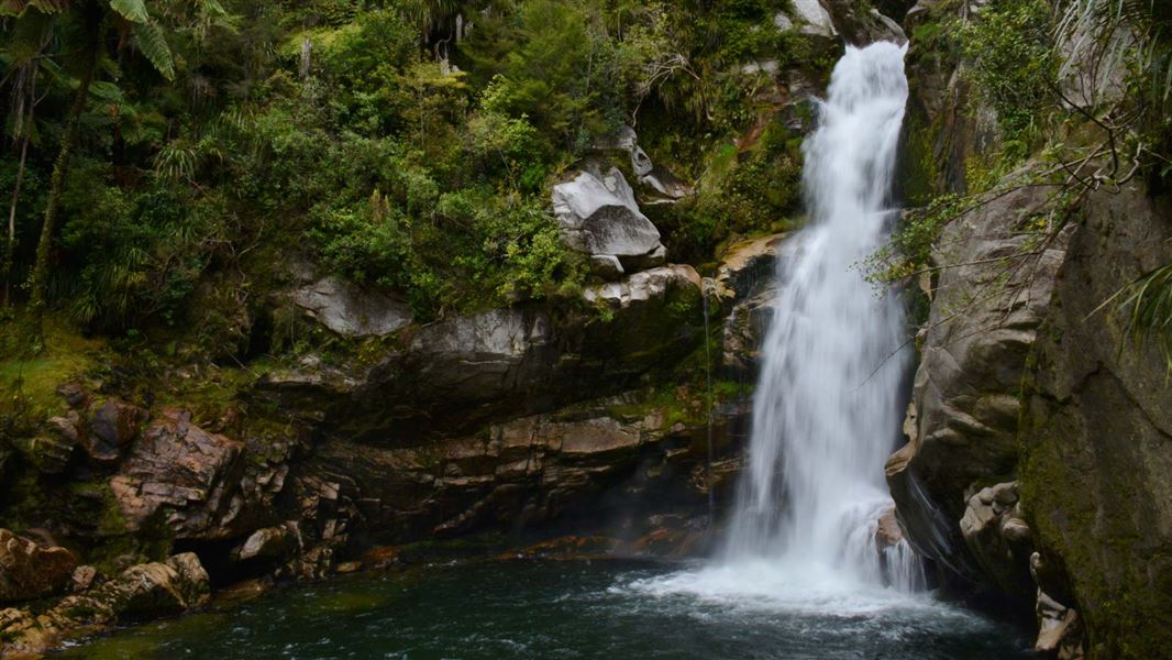
A short walk through lush native bush leads to the cascading Wainui Falls, the largest and most accessible falls in Golden Bay/Mohua.
The route
Warning: There are fast-flowing streams and unfenced steep drops on this track. Supervise children at all times. The track starts by crossing farmland for a short distance. There is an unbridged stream which can be crossed with stepping stones at normal flow levels, though you may get wet feet. The stream can flood and become impassable during or immediately after heavy rain – do not cross the stream at these times. The track then enters a forest of nīkau palms, rātā trees and ferns. The track climbs alongside spectacular granite boulders, following the Wainui River. There are steep drops. There’s a great suspension bridge on the way – below this you can often see old logs piled up after massive floods. You’ll know you’re close to the falls when you can hear the sound of rushing water. The track ends with a view of the pool and waterfall. The rocks that surround the track end and lead down to the water are steep and slippery, and the water is fast-flowing. We recommend staying on the track and viewing the falls from there. There is no barrier, so keep children under close supervision. This viewpoint can flood when the river is high. Return to the Wainui Bay car park on the same track. The walk is popular and can be very busy in summer. Autumn is the best time of year for this track, as it is quieter but still warm.
Source: DOC Te Papa Atawhai.
Know before you go
There can flooding, pick a dry day for your walk
There is an unbridged stream crossing on this track. It can flood and become impassable during or after heavy rain. Assess the stream carefully before crossing and do not cross unless you are sure it is safe. The waterfall lookout area can also flood and be underwater. The track is best walked in dry weather and not during or immediately after heavy rain. Check the weather forecast. NIWA Weather: Tākaka
Rockfall risks and steep drops
Rocks can fall onto the track from the steep hills above. This can happen at any time but is likely more common during or after heavy rain. There are steep drops beside the track, some without barriers. Take care at all times and be extra careful in wet weather. There are slippery, unfenced rocks leading down to the water at the track end.
Supervise children
Always keep children within arm’s reach on this track as there are fast-flowing streams and steep drops.
Source: DOC Te Papa Atawhai.
Nearby stops

Awapoto Hut
Standard • 12 bunks • Tasman • 2.1 km
Awapoto Hut is a standard 12-bunk hut located in the Golden Bay area of the Tasman region.
Heating • Mattresses • Toilets - non-flush
Rata Camp
Tasman • 3.7 km
Pohara Beach Top 10 Holiday Park
Tasman • 4.5 km
Pohara Beach Top 10 Holiday Park is a campsite located in the Tasman region. It is situated near Pohara Beach, offering a base for visitors exploring the local…
Tōtaranui Campground
Great Walk • Tasman • 6.6 km
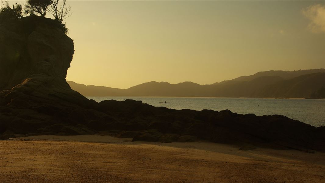
Tōtaranui Campground is a beachside campsite at the northern end of the Abel Tasman National Park, situated next to clear waters and golden sands. It is…
Boat launching • Fire pit/place for campfires (except in fire bans) • Dump station
Waiharakeke Bay campsite
Great Walk • Tasman • 6.8 km
Waiharakeke Bay campsite is located on the Waiharakeke to Whariwharangi section of the Abel Tasman Coast Track in the Tasman region. It is a walk-in or boat-in…
Fire pit/place for campfires (except in fire bans) • Non-powered/tent sites • Toilets - flush
Walks nearby
Inland Track
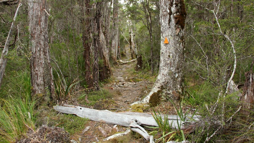
Advanced • 3 days • 41.1 km • 3.08 km away
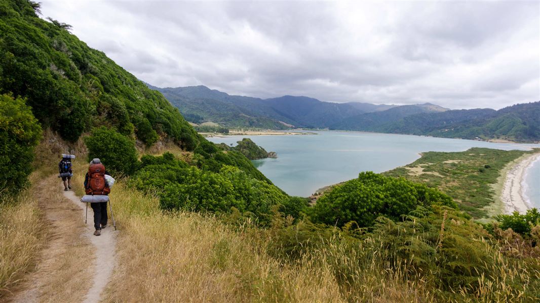
Gibbs Hill Track
Advanced • 5.08 km away
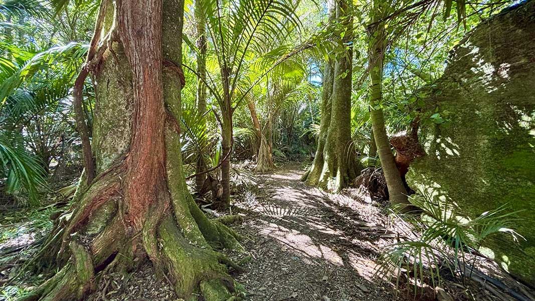
The Grove Scenic Reserve Walk
Easiest • 40 min return • 5.45 km away
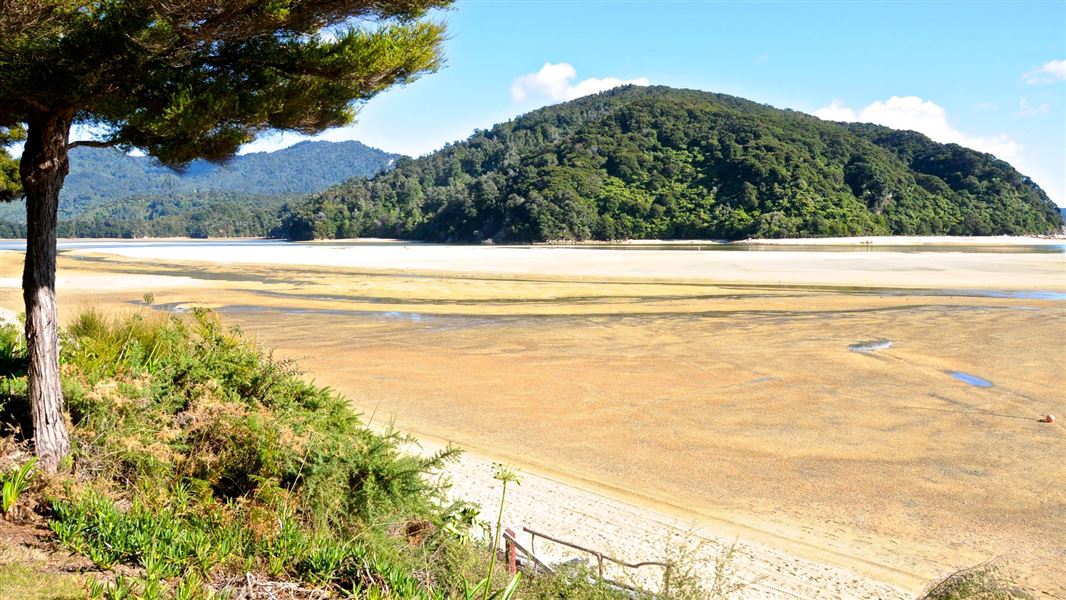
Tōtaranui to Awaroa Bay
Intermediate • 2 hr one way • 7 km (tidal) • 6.66 km away
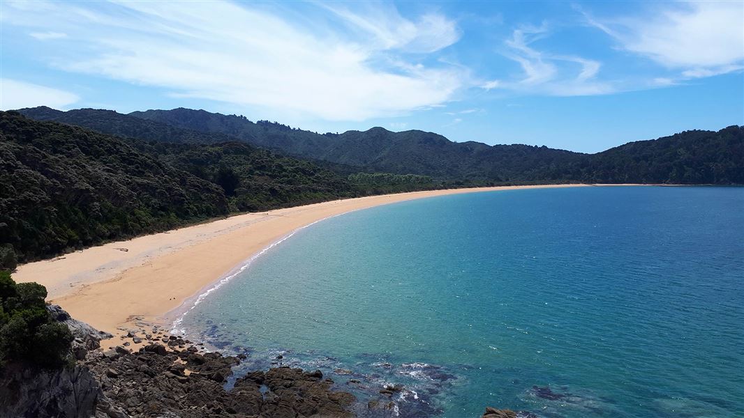
Tōtaranui to Waiharakeke Bay
Intermediate • 1 hr 40 min return via the same track • 6.8 km • 6.66 km away
Notes from people who have been
No notes yet. If you have been, say what you found.
Something missing or out of date?
Closed, moved, wrong facts, or something we have missed? Travellers keep the Road Guide up to date. Tell us what you found at contribute@parkup.nz and we will check it and add it.
Ask us to take this down
A person reads every request. We do not remove a place until we have checked it.
Sources
- DOC Tracks & Trails · CC BY 4.0Data sourced from the Department of Conservation (DOC), New Zealand.
- DOC Tracks (API) · CC BY 4.0Crown Copyright: Department of Conservation Te Papa Atawhai. Data sourced from the DOC Developer Portal (api.doc.govt.nz).