Inland Track
WalkTasman
- Grade
- Advanced
- Walking time
- 3 days
- Distance
- 41.1 km
- Dogs
- No dogs
Getting there
We have not checked a road end or car park for this place yet, so we do not give driving directions to it. Check how to get there before you go. Some routes cross private land and need the landowner's permission.
How to get there, on doc.govt.nzThe Inland Track has road access at several points:
Marahau, the southern gateway, is 67 km from Nelson.
Canaan, turn off State Highway 60 on the Tākaka Hill onto Canaan Road and follow the unsealed road for 11 km to the car park.
To reach the northern end or Pigeon Saddle (on the Tōtaranui Road), follow State Highway 60 over Tākaka Hill to Tākaka (107 km from Nelson). Turn right upon entering Tākaka; from there it is 23 km to Wainui car park, 24 km to Pigeon Saddle and 32 km to Tōtaranui.
The last 12 km to Tōtaranui is narrow and winding - care is required.
Regular high season bus services provide access to Marahau, Tōtaranui, Pigeon Saddle and Wainui.
On-demand transport services are available at Motueka and Tākaka.
Boat services from Kaiteriteri and Marahau provide access to Tōtaranui.
Source: DOC Te Papa Atawhai.
Map
Map data © OpenStreetMap contributors. Topo map: LINZ, CC BY 4.0. 40.87199° S, 172.93534° E
About this place
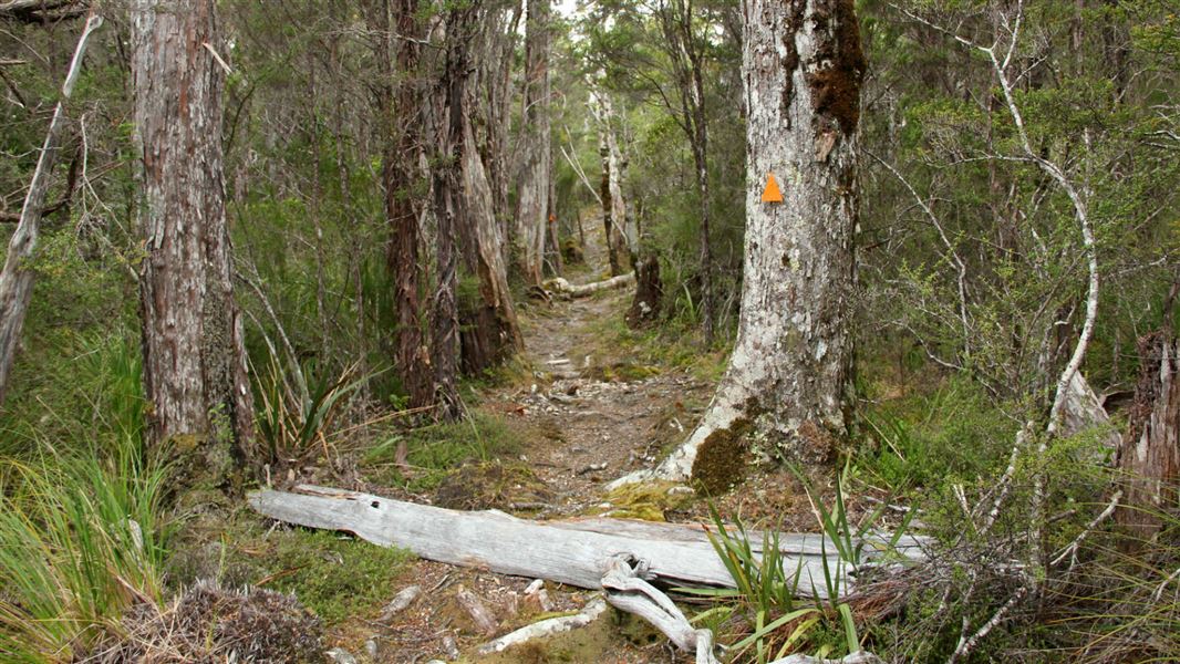
Inland Track travels through regenerating and undisturbed forest where tui, bellbirds and other wildlife can be seen. Occasional granite outcrops offer excellent views of the coast.
The route
The Inland Track links Marahau to Wainui Bay via Pigeon Saddle on the Tākaka - Tōtaranui Road. The track can be linked with the Abel Tasman Coast Track or water taxi to make a varied round trip. If you choose to stay at any of the huts or campsites on the Abel Tasman Coast Track, Great Walk you must make a hut or campsite booking.
Marahau to Castle Rock Hut
Time: 5 hr 30 min
15.1 km From Marahau follow the Coast Track to Tinline Bay. Here the Inland Track begins, climbing steadily away from the coast and then steeply through regenerating forest. After 2 h 30 min Holyoake Clearing is reached, where there is a shelter. Above the clearing the track enters forest and continues climbing to Castle Rock Hut, perched near rock outcrops with wide views of Marahau Valley and Tasman Bay/Te Tai-o-Aorere.
Castle Rock Hut to Awapoto Hut
Time: 6 hr
km The track heads northwards from Castle Rock Hut, then turns west and begins climbing. The gradient steepens and then levels again. The track then undulates for a while before descending to Moa Park Shelter (it’s 2 h, 3.5 km to this point), surrounded by the tussocks of Moa Park itself. There are two side tracks leading to lookouts; Porter Rock is a granite outcrop worth visiting for its excellent views. From Moa Park Shelter the track crosses a small stream and quickly re-enters the stunted beech forest. Upon reaching Evans Ridge it turns north, beginning a gradual descent to Awapoto Hut.
Awapoto Hut to Pigeon Saddle
Time: 3 hr
km Beyond Awapoto Hut the track steepens then eases again before finally descending steeply to the road at Pigeon Saddle.
Pigeon Saddle to Wainui carpark
Time: 2 hr 25 min
km The track climbs slightly, passing a turn-off to a good viewpoint. Travel is then fairly level to the short climb up Gibbs Hill. Beyond Gibbs Hill are the best views in the whole park as the track descends, steeply at first, to the saddle on the Wainui–Whariwharangi section of the Abel Tasman Coast Track. At this saddle, the track forks and an easy 45-minute descent begins to the Wainui car park.
Source: DOC Te Papa Atawhai.
Know before you go
Stay safe when crossing rivers and streams
If you plan to cross unbridged rivers or side streams, know how to cross safely and be prepared for if you cannot cross. Do not cross if the river or stream is flooded, you cannot find safe entry and exit points or are unsure it’s safe. Turn back or wait for the river to drop. If in doubt, stay out. How to cross rivers safely NIWA river flow forecasts: View a video of national followed by regional river flows Water sources There are few reliable water sources along the Inland Track, particularly along Evans Ridge and between Tinline Bay and Holyoake’s Clearing. Carry your own water supply. Be aware Giardia has been found in some park waters. It can be removed from drinking water by boiling, chemical treatment or filtering. Wasps Wasps are a known hazard and are particularly common from December until April. Carry antihistamine if you are allergic to their stings.
Source: DOC Te Papa Atawhai.
On this track
In walking order.


Nearby stops

Wainui Hut
Standard • 4 bunks • Tasman • 4.9 km
Wainui Hut is a standard four-bunk hut located in the Golden Bay area of the Tasman region.
Heating • Mattresses • Toilets - non-flush
Pohara Beach Top 10 Holiday Park
Tasman • 6.2 km
Pohara Beach Top 10 Holiday Park is a campsite located in the Tasman region. It is situated near Pohara Beach, offering a base for visitors exploring the local…
Rata Camp
Tasman • 6.4 km
Awaroa Hut
Great Walk • 26 bunks • Tasman • 7 km
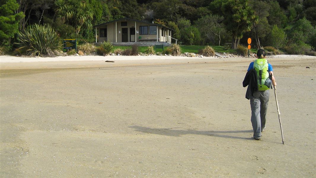
Awaroa Hut is a 26-bunk hut located on the Abel Tasman Coast Track in the Golden Bay area.
Heating • Mattresses • Toilets - flush
Awaroa campsite
Great Walk • Tasman • 7.1 km
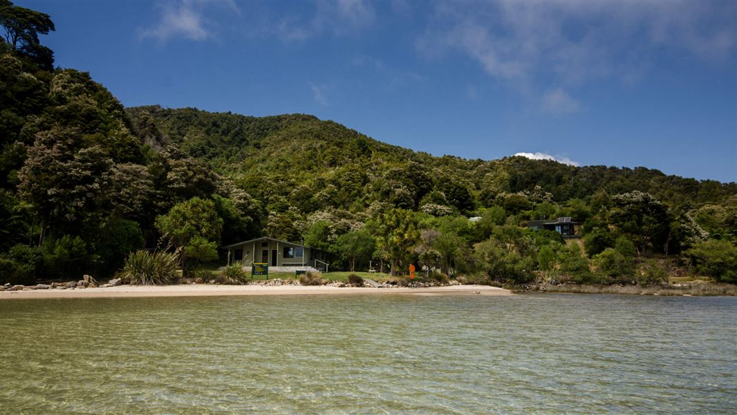
Awaroa campsite is located on the Mosquito Bay to Awaroa section of the Abel Tasman Coast Track in the Tasman region. It is accessible only by walking or…
Fire pit/place for campfires (except in fire bans) • Non-powered/tent sites • Shelter for cooking
Walks nearby
Wainui Falls Track
Easy • 1 hr return • 3.4 km • 3.08 km away
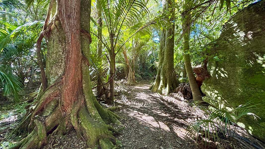
The Grove Scenic Reserve Walk
Easiest • 40 min return • 6.06 km away
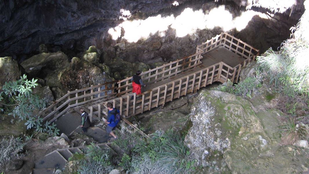
Rawhiti Cave Track
Expert • 1 hr • 6.21 km away
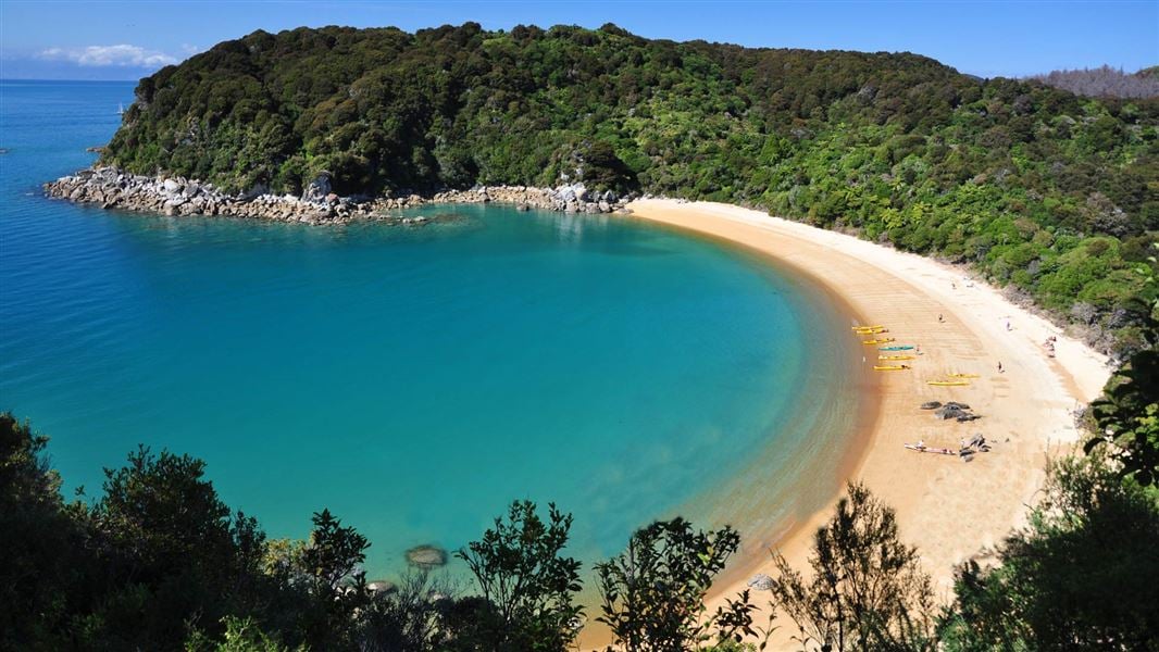
Abel Tasman Coast Track
Intermediate • 3–5 days one way • 60 km • 7.28 km away
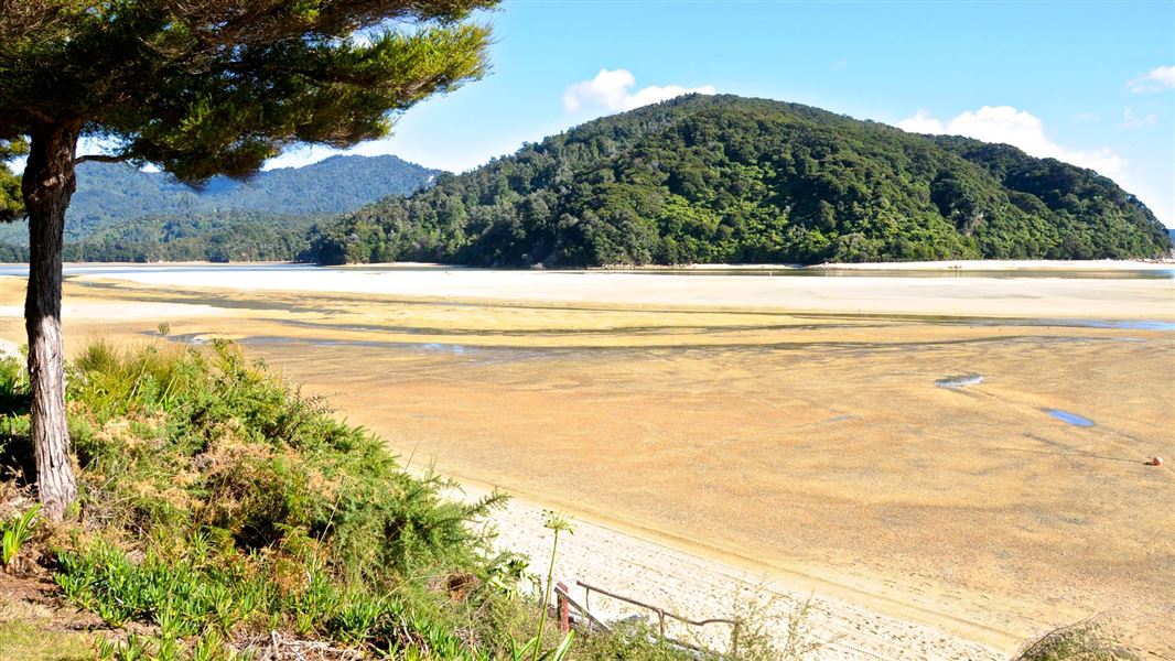
Tōtaranui to Awaroa Bay
Intermediate • 2 hr one way • 7 km (tidal) • 7.48 km away
Notes from people who have been
No notes yet. If you have been, say what you found.
Something missing or out of date?
Closed, moved, wrong facts, or something we have missed? Travellers keep the Road Guide up to date. Tell us what you found at contribute@parkup.nz and we will check it and add it.
Ask us to take this down
A person reads every request. We do not remove a place until we have checked it.
Sources
- DOC Tracks (API) · CC BY 4.0Crown Copyright: Department of Conservation Te Papa Atawhai. Data sourced from the DOC Developer Portal (api.doc.govt.nz).