Tōtaranui to Awaroa Bay
WalkTasman
- Grade
- Intermediate
- Walking time
- 2 hr
- Distance
- 7 km (tidal)
- Dogs
- No dogs
Getting there
We have not checked a road end or car park for this place yet, so we do not give driving directions to it. Check how to get there before you go. Some routes cross private land and need the landowner's permission.
How to get there, on doc.govt.nzNelson to Tōtaranui is about two and a half hours. Take SH6 south out of Nelson and turn onto SH60 (the Coastal Highway) once past Richmond. Follow SH60 over the Takaka Hill to Takaka.
From Takaka follow signs to Pohara and Tata Beach, which will lead you past the Abel Tasman Memorial and onto Tōtaranui. The last 12 km is a narrow, winding, unsealed road.
Source: DOC Te Papa Atawhai.
Map
Map data © OpenStreetMap contributors. Topo map: LINZ, CC BY 4.0. 40.84004° S, 173.01364° E
About this place
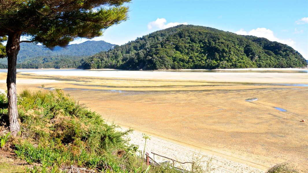
For a more adventurous day walk, head south from Tōtaranui to Awaroa Bay, crossing the tidal Awaroa inlet. There is the option to return via water taxi.
The route
From Tōtaranui the Coast Track heads south. It is only a few minutes to Skinner Point where there is a wonderful view of Tōtaranui Beach and the coast south to Awaroa and Awaroa Head. It takes about 20 minutes to get to Goat Bay, and another 30 minutes to Waiharakeke Bay. It is a further 40 minutes to Awaroa Hut, which is across the Awaroa inlet. From the hut follow the track through the village to Venture Creek. Cross here and follow the edge of the estuary to Awaroa Bay beach. Awaroa Inlet and Venture Creek can only be crossed within 1 hour 30 minutes before and 2 hours after low tide. Return via the same track or arrange a water taxi. If you plan to return via the same track, make sure to give yourself enough time to safely recross the creek and inlet. If you are returning to Tōtaranui by water taxi, this departs from the southern end of Awaroa Bay.
Source: DOC Te Papa Atawhai.
Know before you go
Check the tides
Before you start, check when it’s low tide. Awaroa Inlet and Venture Creek can only be crossed within 1 hour 30 minutes before and 2 hours after low tide. Following heavy rain the inlet may be impassable. View the Abel Tasman tide tables You can also check the tides at the Tōtaranui camp office.
Water taxi booking
If you plan to return to Tōtaranui by water taxi, make your booking before you start the walk.
Wasps
Wasps are a possible hazard and are more common from December until April. Carry antihistamine if you are allergic to their stings.
Rubbish
Day visitors must take out their own rubbish.
Giardia
Giardia has been found in some park waters. It can be removed from drinking water by boiling, filtering or chemical treatment. All tap water at Tōtaranui is filtered.
Source: DOC Te Papa Atawhai.
Nearby stops
Waiharakeke Bay campsite
Great Walk • Tasman • 1 km
Waiharakeke Bay campsite is located on the Waiharakeke to Whariwharangi section of the Abel Tasman Coast Track in the Tasman region. It is a walk-in or boat-in…
Fire pit/place for campfires (except in fire bans) • Non-powered/tent sites • Toilets - flush
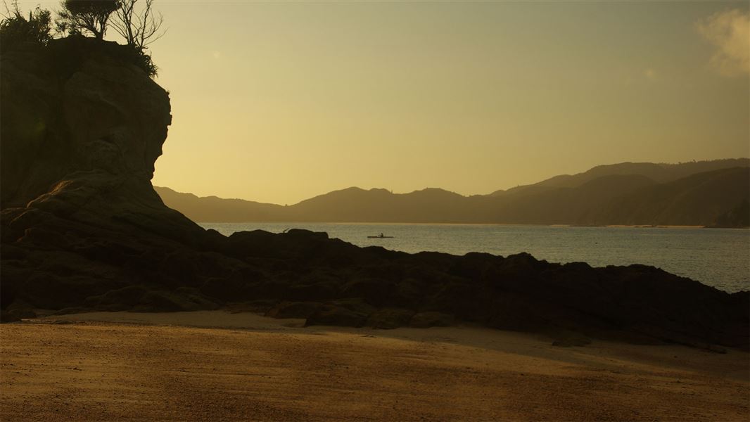
Tōtaranui Campground
Great Walk • Tasman • 2.5 km
Tōtaranui Campground is a beachside campsite at the northern end of the Abel Tasman National Park, situated next to clear waters and golden sands. It is…
Boat launching • Fire pit/place for campfires (except in fire bans) • Dump station
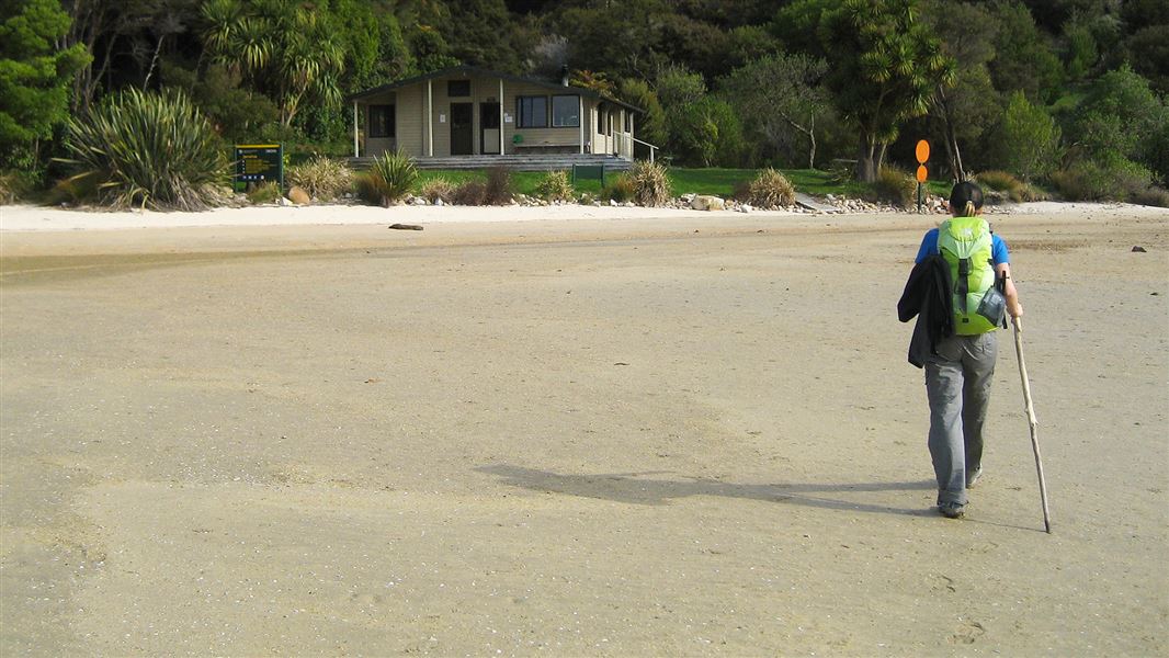
Awaroa Hut
Great Walk • 26 bunks • Tasman • 2.8 km
Awaroa Hut is a 26-bunk hut located on the Abel Tasman Coast Track in the Golden Bay area.
Heating • Mattresses • Toilets - flush
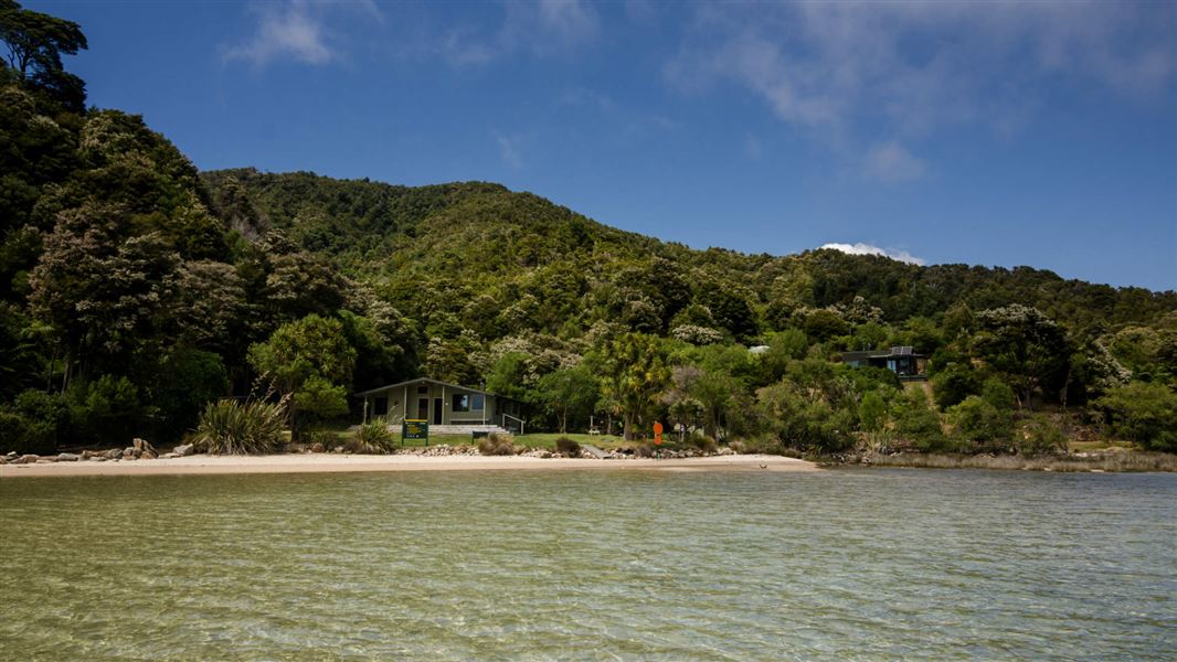
Awaroa campsite
Great Walk • Tasman • 2.8 km
Awaroa campsite is located on the Mosquito Bay to Awaroa section of the Abel Tasman Coast Track in the Tasman region. It is accessible only by walking or…
Fire pit/place for campfires (except in fire bans) • Non-powered/tent sites • Shelter for cooking
Awaroa Glamping
Tasman • 3.3 km
Awaroa Glamping is a campsite in the Tasman region offering accommodation in large tents. The site features a pizza oven as a notable amenity.
Walks nearby
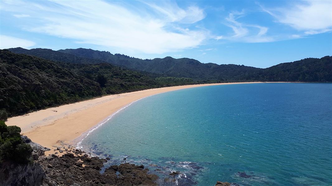
Tōtaranui to Waiharakeke Bay
Intermediate • 1 hr 40 min return via the same track • 6.8 km • 0 km away
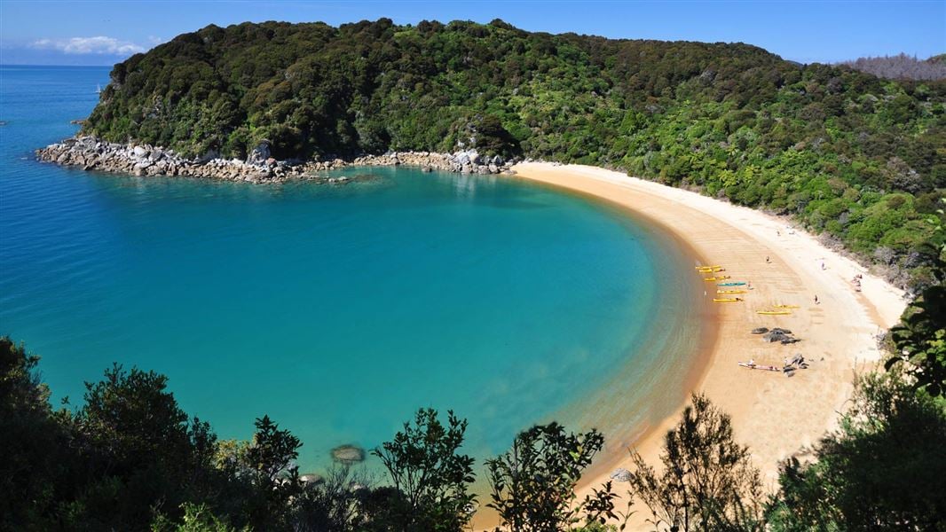
Abel Tasman Coast Track
Intermediate • 3–5 days one way • 60 km • 2.62 km away
Pukatea Walk
Easy • 30 min return via same track • 0.8 km • 2.93 km away
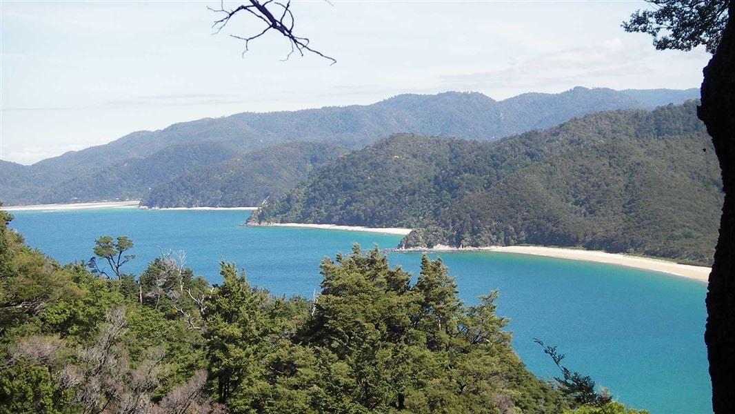
Headlands Track
Easy • 1 hr loop • 1.6 km • 2.95 km away
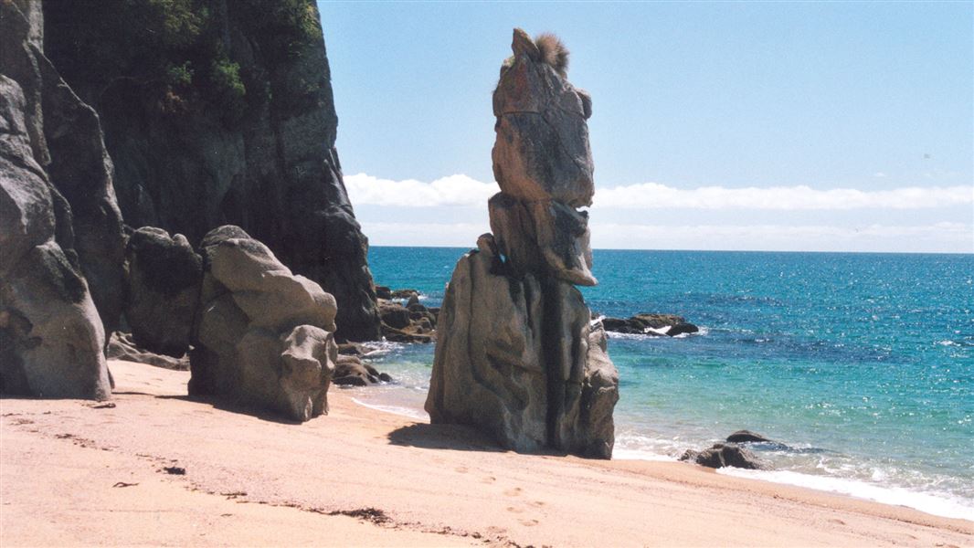
Tōtaranui to Anapai Bay
Intermediate • 2 hr return via same track • 4.2 km • 4.21 km away
Notes from people who have been
No notes yet. If you have been, say what you found.
Something missing or out of date?
Closed, moved, wrong facts, or something we have missed? Travellers keep the Road Guide up to date. Tell us what you found at contribute@parkup.nz and we will check it and add it.
Ask us to take this down
A person reads every request. We do not remove a place until we have checked it.
Sources
- DOC Tracks (API) · CC BY 4.0Crown Copyright: Department of Conservation Te Papa Atawhai. Data sourced from the DOC Developer Portal (api.doc.govt.nz).