Waiau Hut
Standard hutSt James Conservation Area, CanterburyOpen
- Sleeps
- 6 bunks
- Booking
- Can book
- Cost
- from $15
- Heating
- Yes
- Drinking water
- Boil first
- Toilet
- Non-flush
Getting there
We have not checked a road end or car park for this place yet, so we do not give driving directions to it. Check how to get there before you go. Some routes cross private land and need the landowner's permission.
How to get there, on doc.govt.nzThe hut is on Waiau Pass Track, which connects Nelson Lakes National Park and St James Conservation Area.
Find out about motorised vehicle access.
- Topo map
- Topo50 sheet BT24
Source: DOC Te Papa Atawhai.
Map and tracks
Track lines: DOC Te Papa Atawhai. Map data © OpenStreetMap contributors. Topo map: LINZ, CC BY 4.0. 42.18020° S, 172.66122° E
About this place
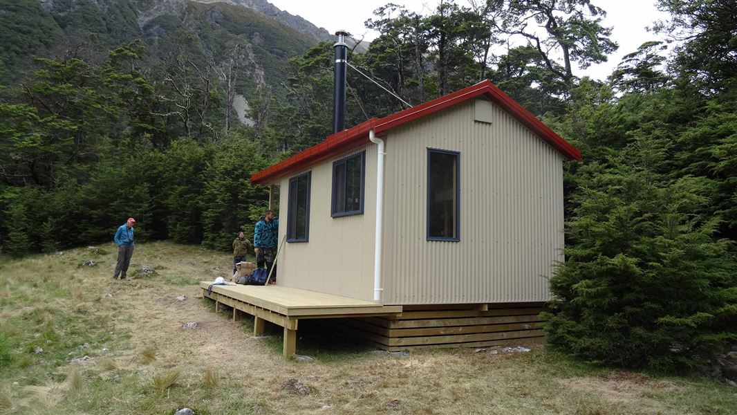
This is a standard 6-bunk hut in the St James Conservation Area.
On the way here
Waiau Pass Route (Blue Lake Route to Lewis Pass) · 8-10 days for full trip
Blue Lake Hut to Waiau Hut
Time: 9-12 hr
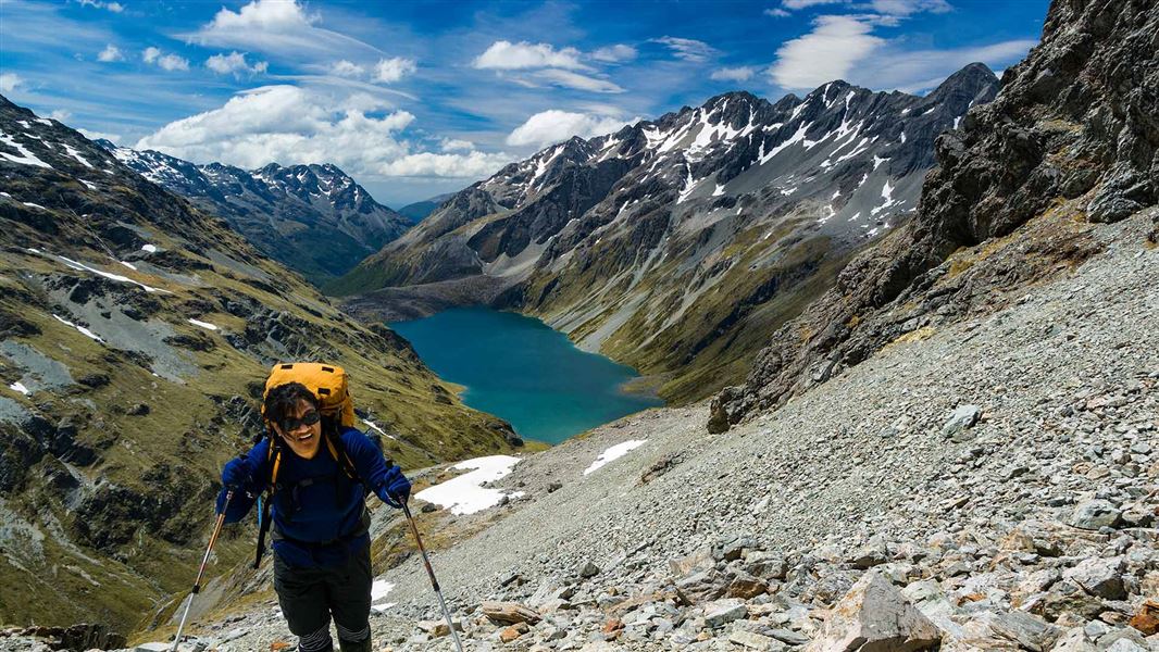
Assess the weather before starting the ascent over Waiau Pass. Only attempt the pass in good weather – if the weather is bad, we recommend waiting in Blue Lake Hut and trying the pass another day. Start early, as you should allow 9-12 hr to cross the pass and reach Waiau Hut.
Upper Waiau Forks to Waiau Hut
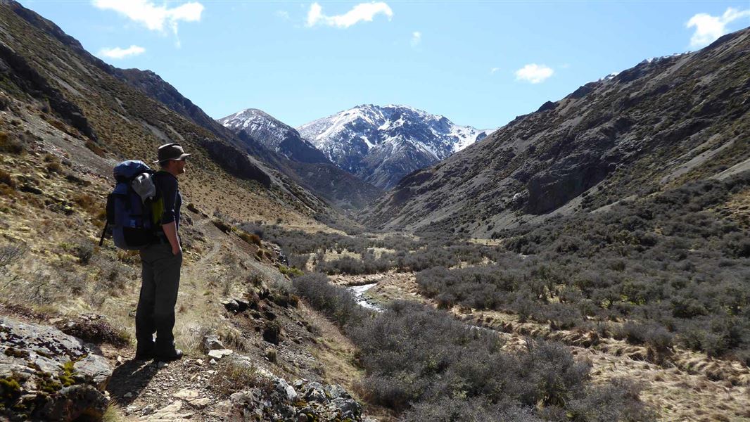
Follow the route down the true left of the river, passing through a camping spot in a stand of beech and through a natural clearing. The route then crosses to the true right of the Waiau Uwha River and continues following it downstream. Take care as the track may be overgrown in places. It is essential you follow the orange markers to follow the best route. You will cross various side streams on the way down the valley, the largest of which is Caroline Creek. It is approximately 4 hours from Waiau Forks to Waiau Hut. Topographic maps and the Mountain Safety Council video about the Waiau Pass Route include information about Caroline Creek Bivvy. This bivvy has been removed, there is no shelter or hut at this site. The nearest shelter is one hour downstream from Caroline Creek at Waiau Hut.
Waiau Hut to Christopher Hut
Time: 6 hr 30 min
km From Waiau Hut, continue following the Waiau Uwha River downstream on the true right bank. The valley gradually widens and you cross two old, bush-covered terminal moraines. The route continues down the valley, mainly over broad, grassy river flats, until you reach the junction of Waiau Uwha River and Ada River. At the point where the two valleys meet, you will come to a track junction. Take the right-hand track across to Ada Valley, rather than continuing down the Waiau Valley. Follow this track across the river flats and upstream on the true left of the Ada River. Cross the Ada River at the point opposite Christopher Hut. The hut is situated close to the edge of the bush. Alternate Route from the junction on Waiau and Ada Rivers: Rather than taking the route to Lewis Pass, you can instead follow the St James Walkway south, walking through to Boyle Village. Follow the track downstream from the turnoff to the Ada Valley, crossing various side streams then the Ada River. Cross Ada Flat then Delta Stream, then the track will join the St James Walkway. Visit the St James Walkway page for a description from this point.
Source: DOC Te Papa Atawhai.
Know before you go
Keep alpine lakes and tarns free of lindavia (lake snow)
The invasive alga lindavia is present in Lakes Rotoiti and Rotoroa. It causes lake snow – a sticky mucus that hangs below the surface of the water. Make sure all your gear is completely dry for 48 hours before swimming or taking water from any alpine lake or tarn, including Rotomaninitua/Lake Angelus. U se a biosecurity cleaning station at Coldwater Hut, Lakehead Hut and Sabine Hut to disinfect any boots, socks, clothing, towels or drink bottles that are wet or damp from lake or river water. Do not touch the water in Rotomairewhenua/Blue Lake and Rotopōhueroa/Lake Constance. Be extra careful if you’ve recently swum or filled a drink bottle from Lakes Rotoiti or Rotoroa. More ways to stop the spread
Source: DOC Te Papa Atawhai.
Trip options
Walking times come from DOC track descriptions, added up leg by leg from car-accessible trailheads. Nights and return times are ParkUp estimates, allowing about 8 hours of walking a day.
2 options · 2 to 3 nights
Blue Lake Hut
Walking in
12 hr
Walking out
12 hr to Blue Lake Hut
Walking in
12 hr
Walking out
12 hr 30 min to Cannibal Gorge Hut (via Christopher Hut, Ada Pass Hut)
Source: DOC Te Papa Atawhai track descriptions.
Fees and bookings
Before you go, buy Hut Tickets for each night's stay. Put these in the honesty box at the hut. Or buy a Backcountry Hut Pass that gives unlimited use at most Standard and Serviced huts for a 12 month period. Retailers that sell hut tickets and passes Te Araroa – The Trail Pass Te Araroa Trail Pass
Book Waiau Hut online
Source: DOC Te Papa Atawhai.
On these tracks
Source: DOC Te Papa Atawhai.
Nearby stops
Blue Lake Hut
Serviced • 16 bunks • Tasman • 13.6 km
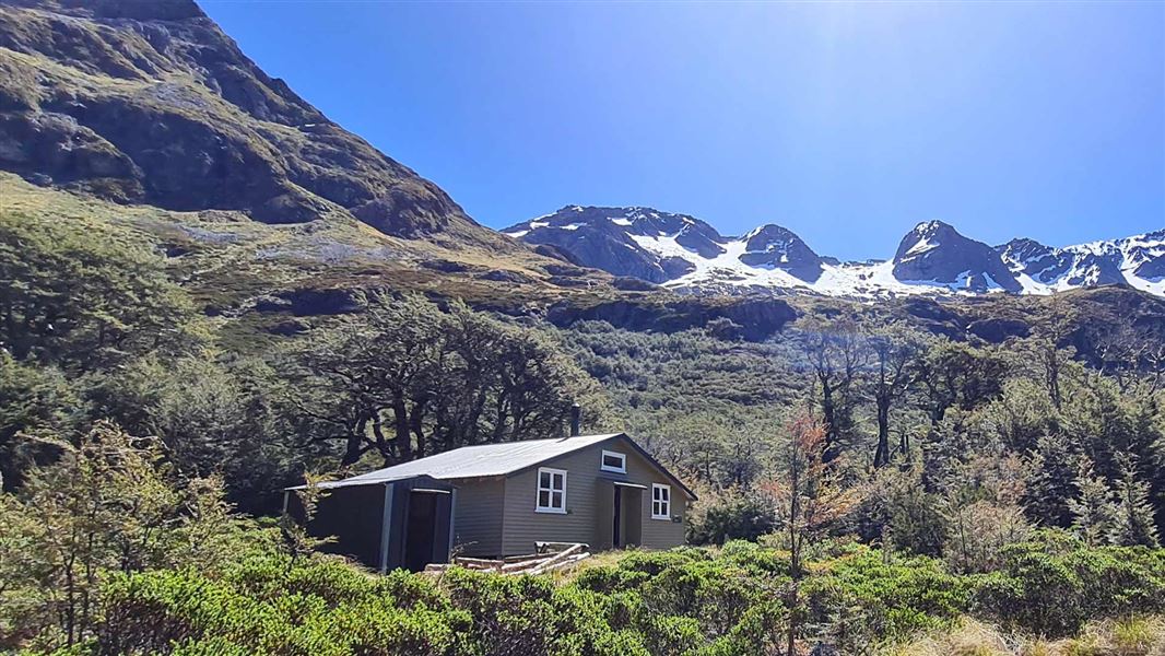
Blue Lake Hut is a serviced 16-bunk hut located in the Nelson Lakes area of the Tasman region.
Heating • Mattresses • Toilets - non-flush
Christopher Hut
Serviced • 14 bunks • Canterbury • 14.4 km
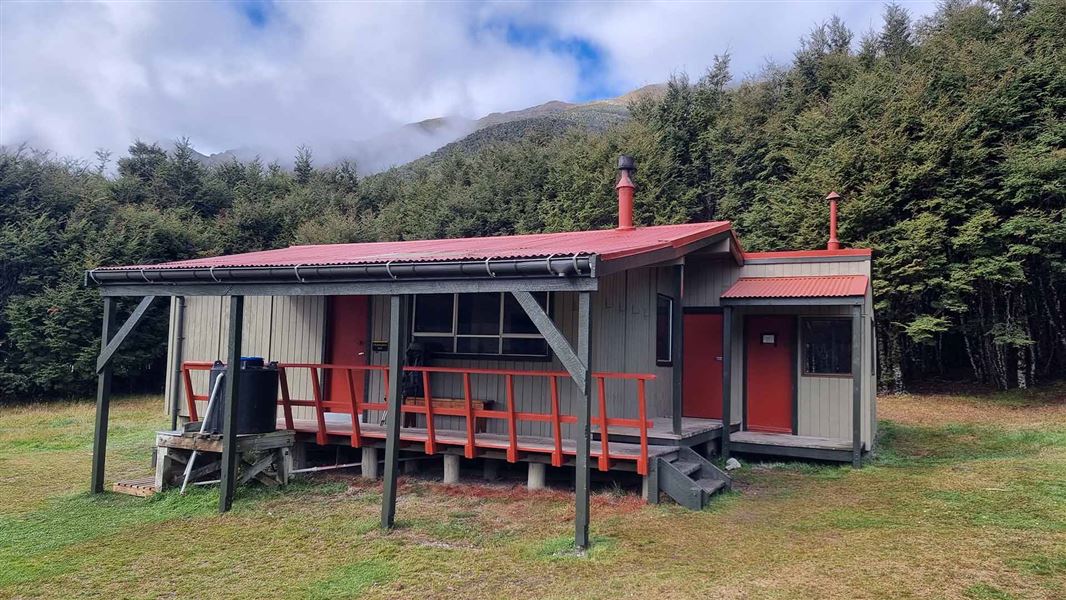
Christopher Hut is a serviced 14-bunk hut located in the St James Conservation Area in Canterbury.
Heating • Mattresses • Toilets - non-flush
Ada Pass Hut
Serviced • 14 bunks • West Coast • 21.7 km
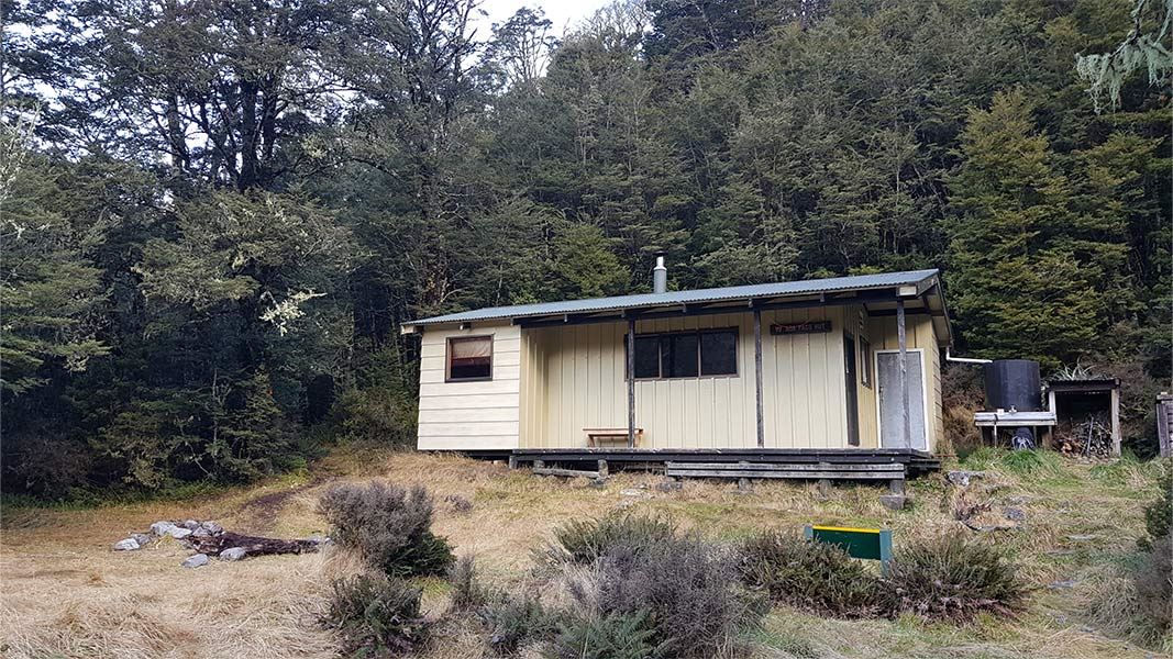
Ada Pass Hut is a serviced 14-bunk hut located in the Greymouth area on the West Coast.
Heating • Mattresses • Toilets - non-flush
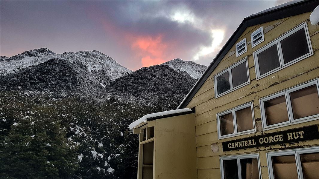
Cannibal Gorge Hut
Serviced • 20 bunks • West Coast • 25.1 km
Cannibal Gorge Hut is a serviced 20-bunk hut located in the Greymouth area of the West Coast.
Heating • Mattresses • Toilets - non-flush
Central Waiau Hut
Hawke's Bay • 518.8 km
Heating • Mattresses • Toilets - non-flush
Walks nearby
Contact
Arthur's Pass National Park Visitor Centre
104 West Coast Road, Arthur's Pass 7654
Regional DOC service centre.
Notes from people who have been
No notes yet. If you have been, say what you found.
Something missing or out of date?
Closed, moved, wrong facts, or something we have missed? Travellers keep the Road Guide up to date. Tell us what you found at contribute@parkup.nz and we will check it and add it.
Ask us to take this down
A person reads every request. We do not remove a place until we have checked it.
Sources
- OpenStreetMap Huts · ODbL (Open Database License)Contains information from OpenStreetMap, made available under the ODbL.
- DOC Huts · CC BY 4.0Data sourced from the Department of Conservation (DOC), New Zealand.
- DOC Huts (API) · CC BY 4.0Crown Copyright: Department of Conservation Te Papa Atawhai. Data sourced from the DOC Developer Portal (api.doc.govt.nz).