Fowlers Pass Track
WalkCanterbury
- Grade
- Advanced
- Walking time
- 5 hr 30 min
- Distance
- 16 km
- Dogs
- Under control
Getting there
We have not checked a road end or car park for this place yet, so we do not give driving directions to it. Check how to get there before you go. Some routes cross private land and need the landowner's permission.
How to get there, on doc.govt.nzFrom Hanmer Springs take Clarence Valley Road over Jacks Pass to connect with Tophouse Road (about 13 km from Hanmer Springs). This road follows the eastern boundary of St James Conservation Area.
Source: DOC Te Papa Atawhai.
Map and tracks
Track lines: DOC Te Papa Atawhai. Map data © OpenStreetMap contributors. Topo map: LINZ, CC BY 4.0. 42.30509° S, 172.69608° E
About this place
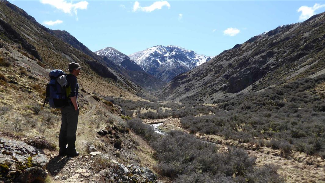
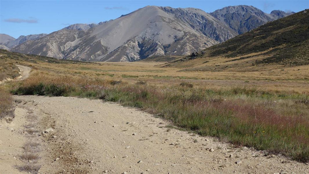
Fowlers Pass (1296 m) connects Tophouse Road with Stanley Vale and Lake Guyon huts in the St James Conservation Area.
The route
Fowlers Pass (1296 m) connects the car park on Tophouse Road with Stanley Vale and Lake Guyon huts, St James Conservation Area. It also links to the St James Cycle Trail . This marked track has river crossings, scree slopes and a variety of gradients. Note that particuarly in winter, snow can make travel difficult and the area is prone to avalanches. Note: This was previously the location of historic Fowlers Hut which burned down in August 2026.
Car park to Stanley Vale Hut
Time: 4 hr
km
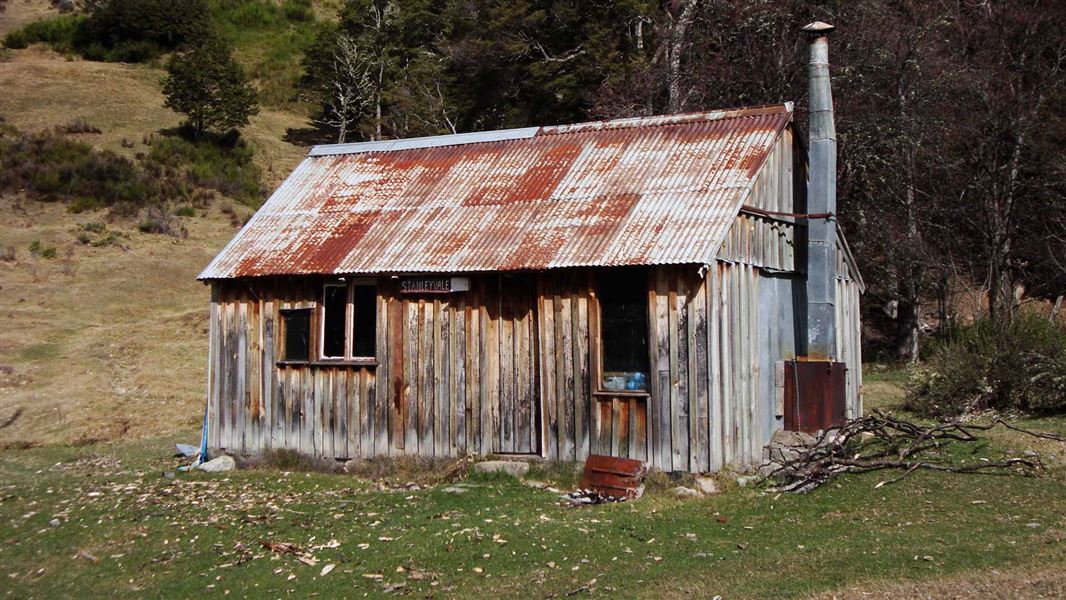
Stanley Vale Hut to Lake Guyon Hut
Time: 1 hr 30 min
km
Source: DOC Te Papa Atawhai.
Know before you go
Avalanches
Avalanches can occur every year when there is snow in the mountains. Most occur during winter storms or in spring/early summer when warmer temperatures or rain make the snow unstable. Even if you can not see snow from the track there may be enough snow out of sight on upper slopes to form an avalanche that could reach the track. Fowlers Pass Track is challenging avalanche terrain.
Topo maps
NZTopo50 map sheet: BT24
Source: DOC Te Papa Atawhai.
On this track
In walking order.
Nearby stops
Fowlers Hut
Canterbury • 5.7 km
Fowlers Hut is a backcountry hut located in the Canterbury region. It provides basic accommodation for hikers and tramping parties in the area.
Christopher Hut
Serviced • 14 bunks • Canterbury • 10.9 km
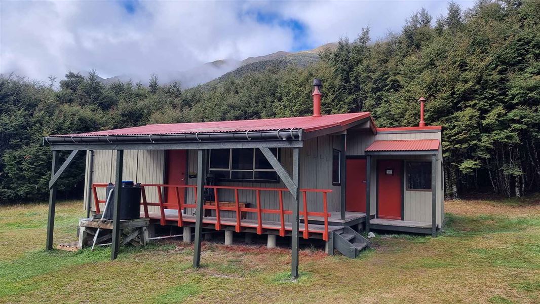
Christopher Hut is a serviced 14-bunk hut located in the St James Conservation Area in Canterbury.
Heating • Mattresses • Toilets - non-flush
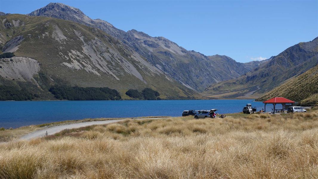
Lake Tennyson Campsite
Basic • Canterbury • 11 km
Lake Tennyson Campsite is an isolated campsite located beside Lake Tennyson. It offers opportunities for trout fishing, kayaking, boating, and walking.
Non-powered/tent sites • Water from stream • Wheelchair accessible with assistance
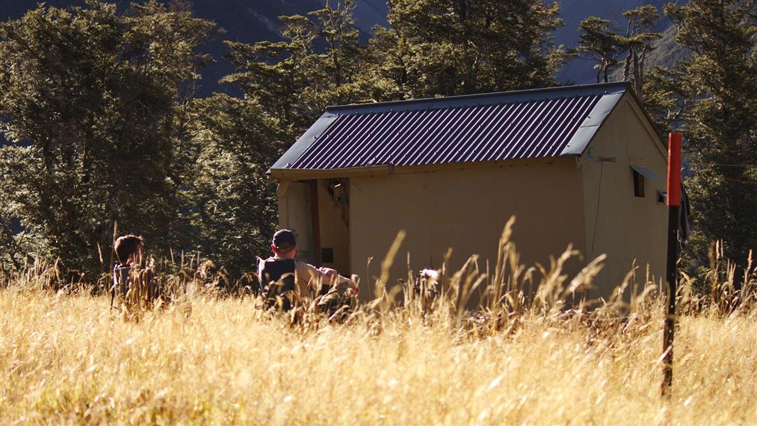
Christopher (Ada) Cullers Hut
Basic/bivvies • 4 bunks • Canterbury • 11.6 km
Christopher (Ada) Cullers Hut is a basic four-bunk hut located in the St James Conservation Area in Canterbury.
Toilets - non-flush • Water from stream • Water supply
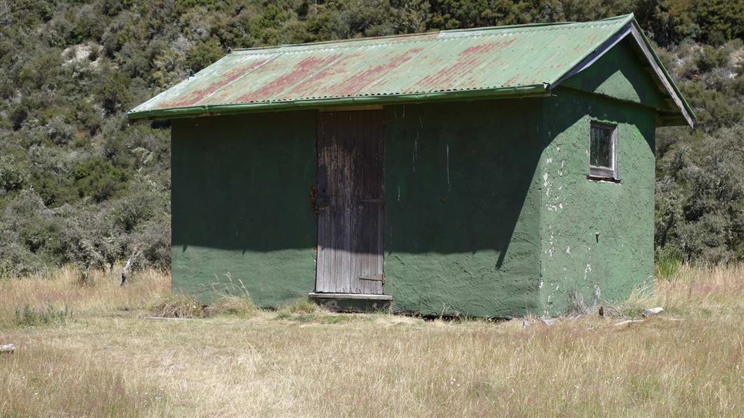
Pool Hut
Basic/bivvies • 6 bunks • Canterbury • 12.1 km
Pool Hut is an historic hut in Canterbury that provides basic accommodation for users of the 64 km St James Cycle Trail.
Toilets - non-flush • Water from stream • Water supply
Walks nearby

Notes from people who have been
No notes yet. If you have been, say what you found.
Something missing or out of date?
Closed, moved, wrong facts, or something we have missed? Travellers keep the Road Guide up to date. Tell us what you found at contribute@parkup.nz and we will check it and add it.
Ask us to take this down
A person reads every request. We do not remove a place until we have checked it.
Sources
- DOC Tracks (API) · CC BY 4.0Crown Copyright: Department of Conservation Te Papa Atawhai. Data sourced from the DOC Developer Portal (api.doc.govt.nz).