Homestead Run
WalkCanterbury
- Grade
- Easy
- Walking time
- 5 hr
- Distance
- 15 km
- Dogs
- Under control
Getting there
We have not checked a road end or car park for this place yet, so we do not give driving directions to it. Check how to get there before you go. Some routes cross private land and need the landowner's permission.
How to get there, on doc.govt.nzFrom Hanmer Springs take Clarence Valley Road over Jacks Pass to connect with Tophouse Road (about 13 km from Hanmer Springs). This road follows the eastern boundary of St James Conservation Area.
Source: DOC Te Papa Atawhai.
Map
Map data © OpenStreetMap contributors. Topo map: LINZ, CC BY 4.0. 42.42439° S, 172.76434° E
About this place
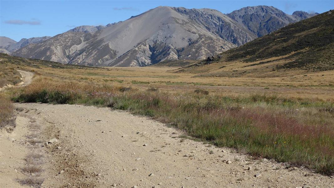
For young families or riders with insufficient time or experience to attempt the full St James Cycle Trail, the Homestead Run will give you a taste of St James.
The route
St James Homestead to Peters-Edwards track junction
Walking time: 2 hr 30 min km From the St James Homestead, head up the valley to Peters Pass where a great picnic spot overlooks Waterfall Stream. Follow the trail until it intersects with the Edwards valley 4WD track.
Peters-Edwards track junction to Tophouse Road
Walking time: 1 hr 30 min 4.2 km Head east (right) down the 4WD track to connect with Tophouse Road.
Tophouse Road to St James Homestead
Walking time: 1 hr 3.4 km
Source: DOC Te Papa Atawhai.
Nearby stops
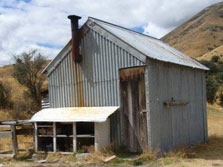
Scotties Hut
Basic/bivvies • 4 bunks • Canterbury • 10.2 km
Scotties Hut is a basic hut located in the St James Conservation Area in Canterbury.
Mattresses • Toilets - non-flush • Water from stream
Pines Holiday Park
Canterbury • 11.6 km
Hanmer Amenity Area
Canterbury • 11.7 km
Hanmer Amenity Area is at the Hanmer Field Base and picnic area on Pawsons Road in Hanmer Springs. Freedom camping is limited to self-contained vehicles for up…
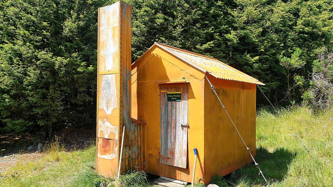
Stony Stream Bivvy
Basic/bivvies • 2 bunks • Canterbury • 12 km
Stony Stream Bivvy is a basic two-bunk hut located in the North Canterbury and Arthur's Pass area.
Toilets - non-flush • Water from stream • Water supply
Fowlers Hut
Canterbury • 12.3 km
Fowlers Hut is a backcountry hut located in the Canterbury region. It provides basic accommodation for hikers and tramping parties in the area.
Walks nearby
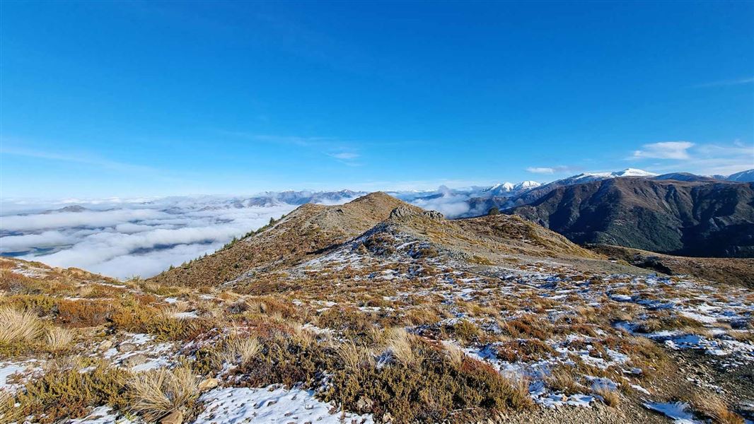
Jacks Pass Track to Mt Isobel
Advanced • 4-5 hr return • 6.4 km return • 8.33 km away
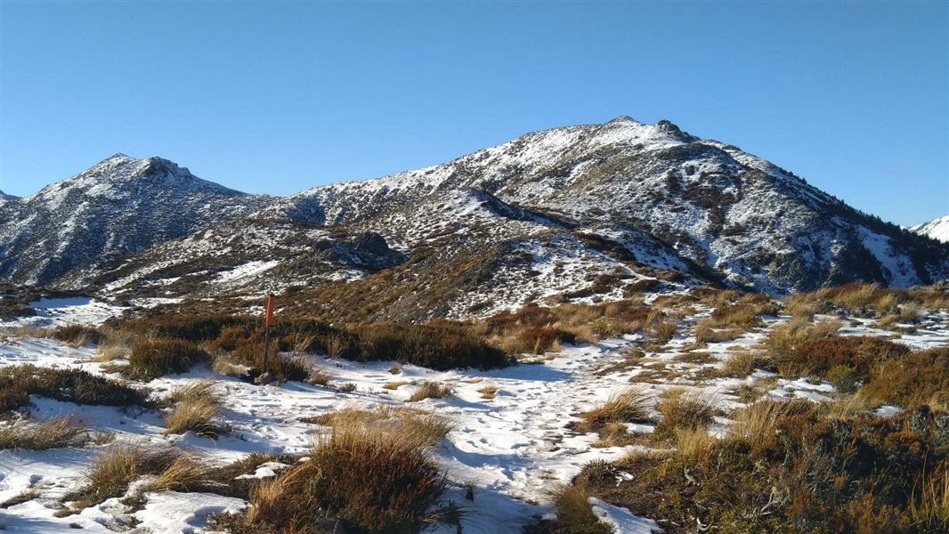
Mt Isobel Track
Advanced • 6 hr return • 9.61 km away
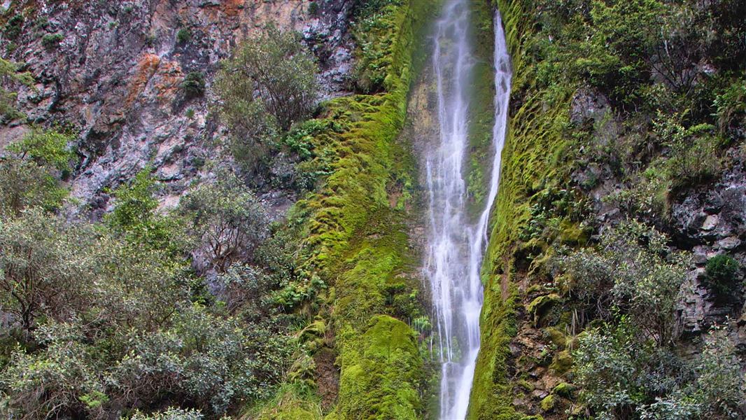
Waterfall Track
Easy • 1 hr 30 min one way • 2.1 km • 10.18 km away
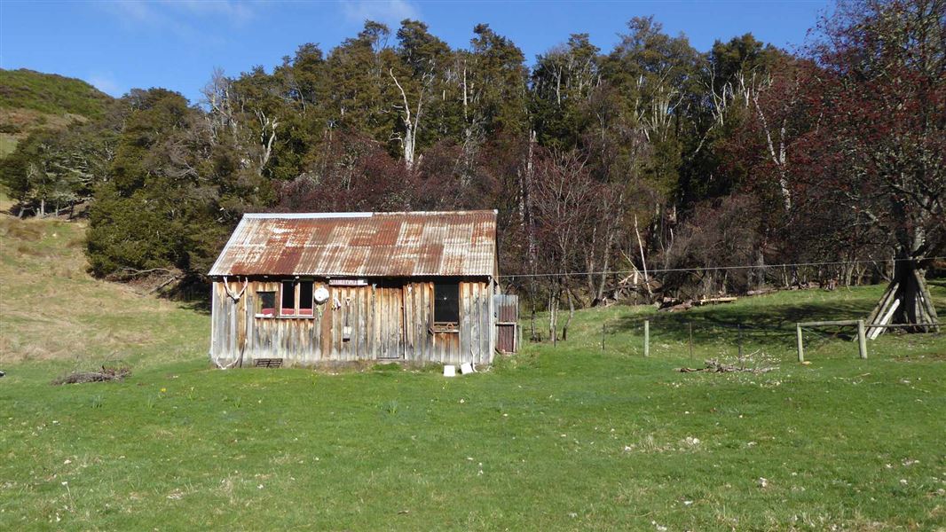
Jollies Pass Track to Mt Isobel
Advanced • 4-5hr return • 6 km return • 10.55 km away
Stanley River Route
Expert • 6 hr • 16.5 km • 11.13 km away
Notes from people who have been
No notes yet. If you have been, say what you found.
Something missing or out of date?
Closed, moved, wrong facts, or something we have missed? Travellers keep the Road Guide up to date. Tell us what you found at contribute@parkup.nz and we will check it and add it.
Ask us to take this down
A person reads every request. We do not remove a place until we have checked it.
Sources
- DOC Tracks (API) · CC BY 4.0Crown Copyright: Department of Conservation Te Papa Atawhai. Data sourced from the DOC Developer Portal (api.doc.govt.nz).