Scotties Hut
Basic/bivvies hutSt James Conservation Area, CanterburyOpen
- Sleeps
- 4 bunks
- Booking
- Not bookable
- Cost
- Free
- Heating
- None
- Drinking water
- Not drinkable
- Toilet
- Non-flush
Getting there
We have not checked a road end or car park for this place yet, so we do not give driving directions to it. Check how to get there before you go. Some routes cross private land and need the landowner's permission.
How to get there, on doc.govt.nzFrom Hanmer Springs take Clarence Valley Rd over Jacks Pass to connect with Tophouse Rd (about 13 km from Hanmer Springs). From there, the hut is accessible to walkers, mountain bikers and horse riders via the St James Cycle Trail.
During summer, four wheel drivers can access the hut via the Edwards Valley Track. You must register with DOC before you can bring your vehicle into the St James Conservation Area.
Motor vehicle access into St James Conservation Area
- Topo map
- Topo50 sheet BT24
- Grid reference
- E1570383, N5302449
Source: DOC Te Papa Atawhai.
Map
Map data © OpenStreetMap contributors. Topo map: LINZ, CC BY 4.0. 42.42971° S, 172.63996° E
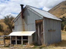
About this place
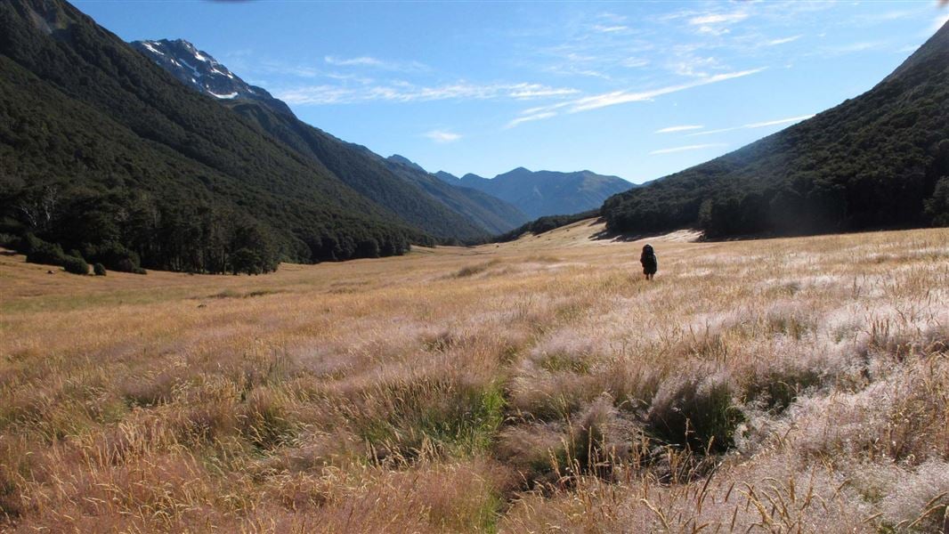
Scotties Hut is a basic hut in the St James Conservation Area.
Fees and bookings
Free
Source: DOC Te Papa Atawhai.
Nearby stops
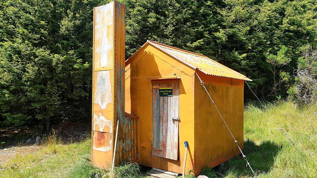
Stony Stream Bivvy
Basic/bivvies • 2 bunks • Canterbury • 3.9 km
Stony Stream Bivvy is a basic two-bunk hut located in the North Canterbury and Arthur's Pass area.
Toilets - non-flush • Water from stream • Water supply
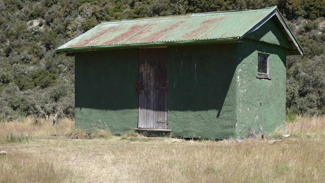
Pool Hut
Basic/bivvies • 6 bunks • Canterbury • 4.3 km
Pool Hut is an historic hut in Canterbury that provides basic accommodation for users of the 64 km St James Cycle Trail.
Toilets - non-flush • Water from stream • Water supply
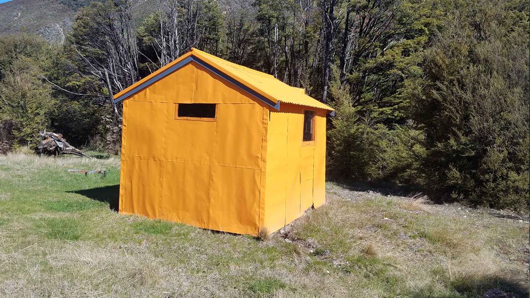
Jervois Hut
Basic/bivvies • 3 bunks • Canterbury • 5.3 km
Jervois Hut is a basic three bunk hut located in the St James Conservation Area in Canterbury.
Heating • Water from stream • Water supply
Tin Jug Hut
Canterbury • 6.7 km
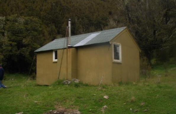
Steyning Hut
Basic/bivvies • 6 bunks • Canterbury • 8.1 km
Steyning Hut is a basic six-bunk hut located in the North Canterbury and Arthur's Pass area. It provides simple accommodation for hikers in the region.
Mattresses • Toilets - non-flush • Water from stream
Walks nearby
Contact
Arthur's Pass National Park Visitor Centre
104 West Coast Road, Arthur's Pass 7654
Regional DOC service centre.
Notes from people who have been
No notes yet. If you have been, say what you found.
Something missing or out of date?
Closed, moved, wrong facts, or something we have missed? Travellers keep the Road Guide up to date. Tell us what you found at contribute@parkup.nz and we will check it and add it.
Ask us to take this down
A person reads every request. We do not remove a place until we have checked it.
Sources
- DOC Huts (API) · CC BY 4.0Crown Copyright: Department of Conservation Te Papa Atawhai. Data sourced from the DOC Developer Portal (api.doc.govt.nz).
- OpenStreetMap Huts · ODbL (Open Database License)Contains information from OpenStreetMap, made available under the ODbL.
- DOC Huts · CC BY 4.0Data sourced from the Department of Conservation (DOC), New Zealand.