View Hill to Mt Oxford Track
WalkCanterburyOpen
- Grade
- Advanced
- Walking time
- 4 hr
- Distance
- 5.7 km
- Dogs
- On a lead
Access: read before you go
In times of heavy rain two fords on Perhams Road may become impassable and the road may be muddy. 4WD vehicles are advisable.
Source: DOC Te Papa Atawhai.
Getting there
We have not checked a road end or car park for this place yet, so we do not give driving directions to it. Check how to get there before you go. Some routes cross private land and need the landowner's permission.
How to get there, on doc.govt.nz4 km south of Oxford, turn off SH72 (Inland Scenic Route) onto Woodstock Road. Follow this for 10 km then turn into Ingrams Road, then into Limeworks Road, which becomes Perhams Road. An AA sign here indicates the turn-off to the start of the Wharfedale Track where the View Hill car park is located.
In times of heavy rain two fords on Perhams Road may become impassable and the road may be muddy. 4WD vehicles are advisable.
Source: DOC Te Papa Atawhai.
Map
Map data © OpenStreetMap contributors. Topo map: LINZ, CC BY 4.0. 43.22396° S, 172.05324° E
About this place
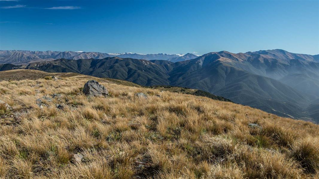
Follow the ridge through forest and tussock to get to the summit of Mt Oxford with good views of the Canterbury Plains and into Lees Valley.
The route
Branch off Wharfedale Track about 20 minutes from View Hill car park. Follow the ridge through forest eventually opening onto tussock grassland as you head towards Mt Oxford summit.
Source: DOC Te Papa Atawhai.
Know before you go
Weather forecast
Mount Oxford weather forecast – NIWA website
Wasp warning
Wasp populations reach high numbers from January to April – wear light-coloured clothing and carry antihistamine cream/tablets as a precaution.
Source: DOC Te Papa Atawhai.
Nearby stops
Ryde Falls Camp
Canterbury • 2.4 km
Ryde Falls Camp is a campsite located in the Canterbury region of New Zealand. The provided data does not include specific details about facilities, access, or…

Wharfedale Hut
Standard • 8 bunks • Canterbury • 3 km
Wharfedale Hut is a standard 10-bunk hut located in the North Canterbury and Arthur's Pass area.
Heating • Mattresses • Toilets - non-flush
Black Hill Hut
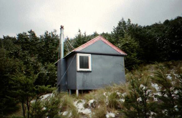
Standard • 6 bunks • Canterbury • 6.3 km
Black Hill Hut is a standard six-bunk hut located in the North Canterbury and Arthur's Pass area.
Heating • Mattresses • Toilets - non-flush
Adams Hut
Canterbury • 7.3 km
Adams Hut is a hut located in the Canterbury region of New Zealand. The provided data does not include specific details about its facilities or location.
Kinnebrooks Hut
Canterbury • 7.8 km
Kinnebrooks Hut is a basic shelter located in the Canterbury region of New Zealand. The provided records do not list specific facilities or amenities for this…
Walks nearby
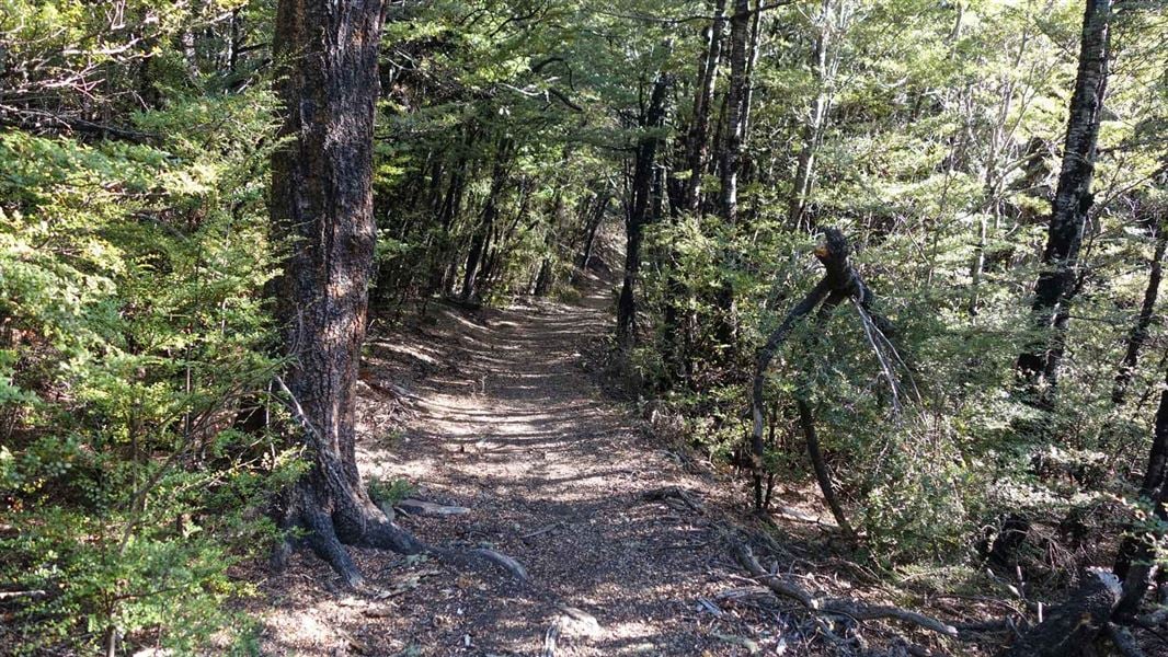
Wharfedale/Townshend Track
Intermediate • 1–2 days • 1.44 km away
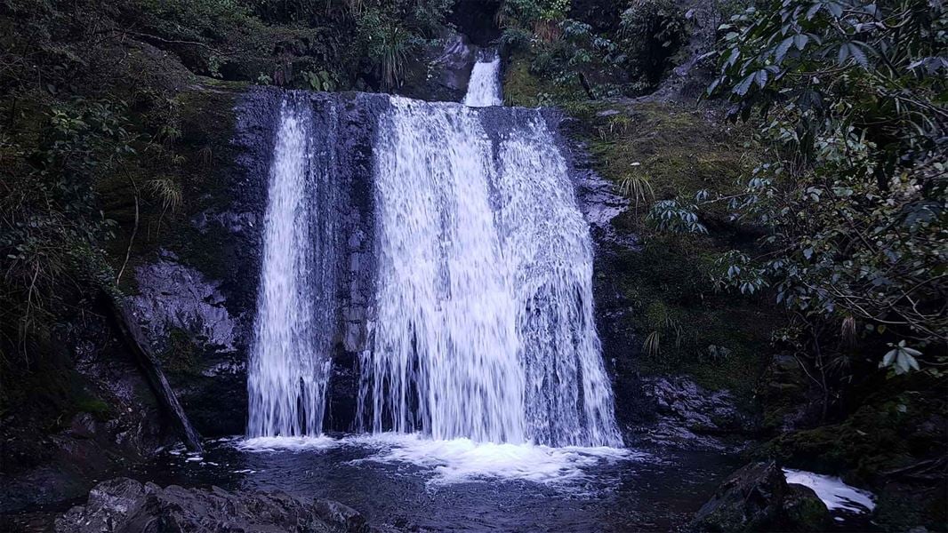
Ryde Falls tracks
Easy • 4–6 hr • 3.07 km away
Wharfedale Track
Great walk/easy tramping track • Over 4 hours • 3.63 km away
Ashley Gorge Loop Track
Easy • 45 min • 1.5 km • 14.4 km away
Ashley Gorge Waterfall Track
Easy • 2 hr • 3.5 km • 14.95 km away
Something missing or out of date?
Closed, moved, wrong facts, or something we have missed? Travellers keep the Road Guide up to date. Tell us what you found at contribute@parkup.nz and we will check it and add it.
Ask us to take this down
A person reads every request. We do not remove a place until we have checked it.
Sources
- DOC Tracks & Trails · CC BY 4.0Data sourced from the Department of Conservation (DOC), New Zealand.
- DOC Tracks (API) · CC BY 4.0Crown Copyright: Department of Conservation Te Papa Atawhai. Data sourced from the DOC Developer Portal (api.doc.govt.nz).