Upper Gridiron Hut
Standard hutKahurangi National Park, TasmanOpen
Current advisories
Predator control in Cobb area of Kahurangi National Park
30 June 2026
A predator control operation using toxic bait containing 1080 was completed on 1 July 2026. The Cobb area of Kahurangi National Park is open. See the pesticide summary map for the operation area. There may be toxic carcasses and bait (green coloured pellets) in the area. It's not safe to hunt for food in this area for up to 8 months. Warning signs and this web alert will be removed when the area is safe again. This operation is part of DOC's National Predator Control Programme to protect native species. First published on 15 May 2026. Last reviewed on 1 July 2026.
Source: DOC Te Papa Atawhai alerts.
- Sleeps
- 3 bunks
- Booking
- Not bookable
- Cost
- from $15
- Heating
- Yes
- Drinking water
- Boil first
- Toilet
- Non-flush
Getting there
We have not checked a road end or car park for this place yet, so we do not give driving directions to it. Check how to get there before you go. Some routes cross private land and need the landowner's permission.
How to get there, on doc.govt.nz- Topo map
- Topo50 sheet BQ23
- Grid reference
- E1574524, N5442195
Source: DOC Te Papa Atawhai.
Map and tracks
Track lines: DOC Te Papa Atawhai. Map data © OpenStreetMap contributors. Topo map: LINZ, CC BY 4.0. 41.17047° S, 172.69634° E
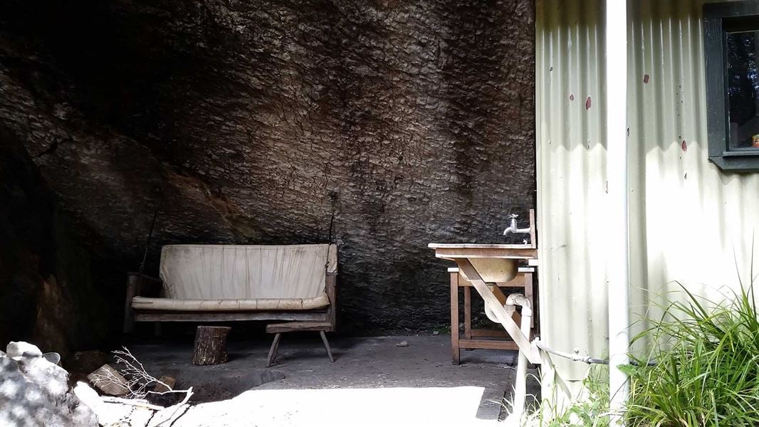
About this place
This is a standard 3-bunk hut in the Motueka area.
On the way here
Salisbury Track · 4 hr one way
It is a short 30 minute walk from the car park over the saddle to Flora Hut. Approximately 45 minutes’ walk from Flora Hut is a pool where it is said that Bishop Suter of Nelson bathed while on a visit to the Tableland diggings in 1871. After a further 30 minutes, you will find the Gridiron Hut and Shelter — together they accommodate seven people. Continue from the Upper Gridiron Hut to the Upper Junction. Take the left fork at Upper Junction (about 2 hours down from Flora Hut) and begin a steady climb. The track passes Growler Shelter after about 30 minutes and the forest becomes ever sparser until you emerge suddenly on the tussock lands known as Salisbury’s Open. A short side track leads to the Dry Rock Shelter that will accommodate four people. Salisbury Lodge is 20 minutes further on, across the open tussock.
Source: DOC Te Papa Atawhai.
Fees and bookings
Before you go, buy Hut Tickets for each night's stay. Put these in the honesty box at the hut. Or buy a Backcountry Hut Pass that gives unlimited use at most Standard and Serviced huts for a 12 month period. Retailers that sell hut tickets and passes
Source: DOC Te Papa Atawhai.
Nearby stops
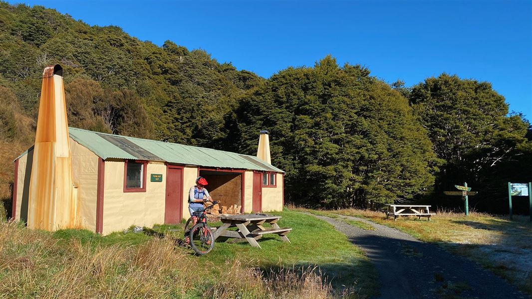
Flora Hut
Basic/bivvies • 12 bunks • Tasman • 3.1 km
Flora Hut is located in the Tasman region and is a short, easy walk from the road end. It is suitable for families with children looking for an overnight tramp.
Heating • Mattresses • Toilets - non-flush
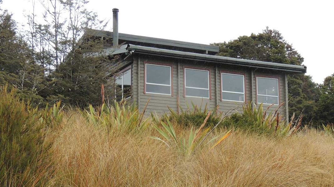
Salisbury Lodge
Serviced • 22 bunks • Tasman • 4.3 km
Salisbury Lodge is a serviced 22-bunk hut located in the Motueka area of the Tasman region.
Heating • Mattresses • Toilets - non-flush
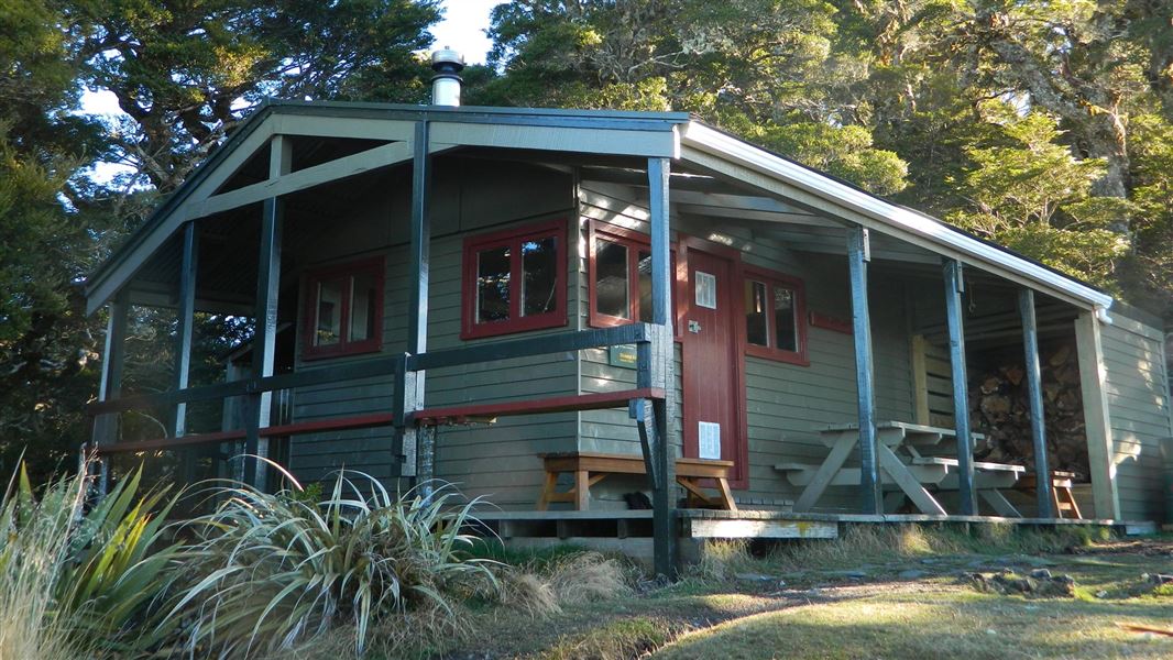
Mt Arthur Hut
Serviced • 8 bunks • Tasman • 3.4 km
Mt Arthur Hut is a Department of Conservation hut in the Tasman region suitable for a half day walk or an overnight tramp. It is a good option for families…
Heating • Mattresses • Toilets - non-flush
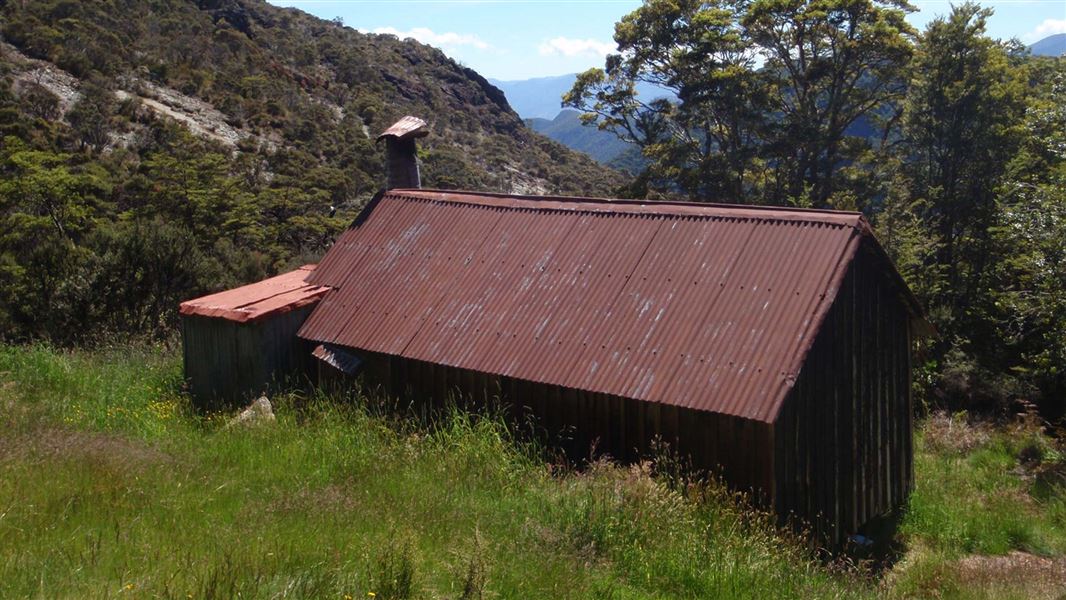
Asbestos Cottage
Basic/bivvies • 4 bunks • Tasman • 4.6 km
Asbestos Cottage is a historic hut in Kahurangi National Park that was built in 1897 and had remedial work completed in 1997. It provides accommodation for…
Heating • Mattresses • Toilets - non-flush

Balloon Hut
Serviced • 14 bunks • Tasman • 6.2 km
Balloon Hut is a serviced 14-bunk hut located in the Motueka area of the Tasman region.
Heating • Mattresses • Toilets - non-flush
Walks nearby
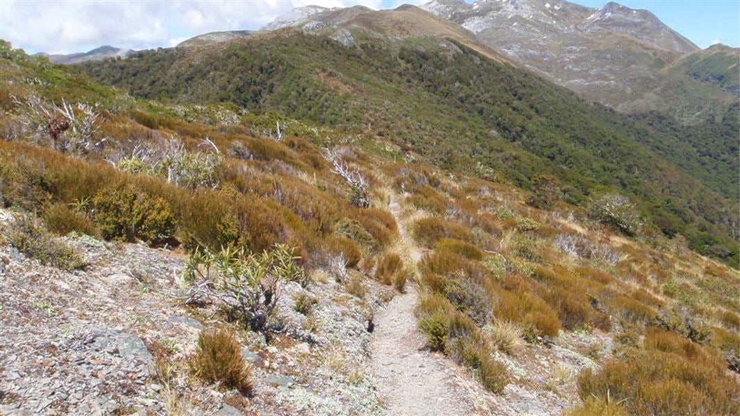
Flora Circuit (via Mt Arthur Hut and Flora Hut)
Easy • 4 hrs • 10 km • 3.24 km away
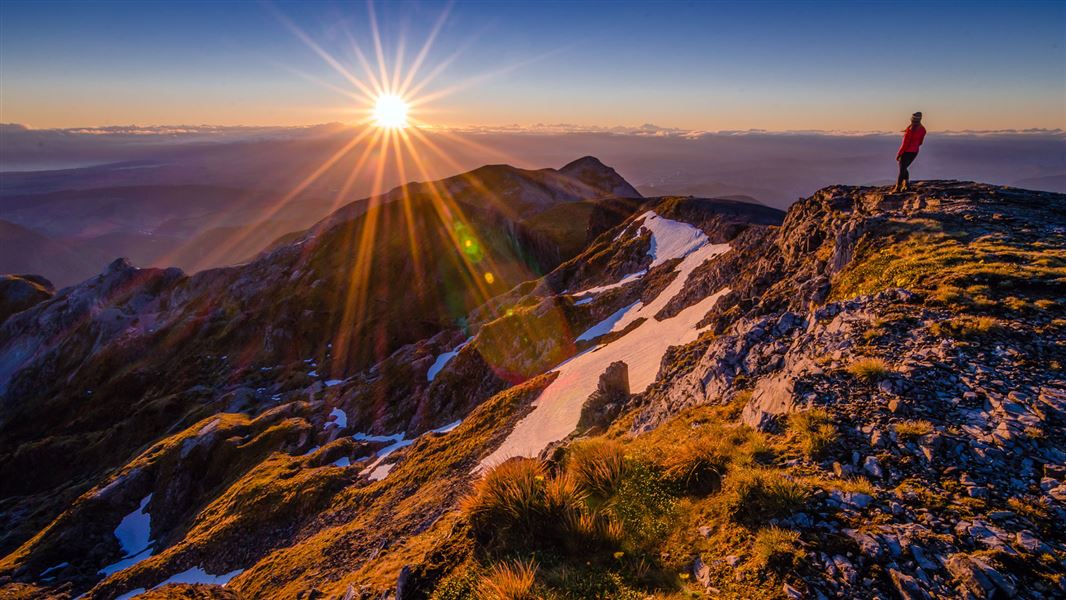
Mount Arthur Summit Route
Expert • 3 hr 30 min - 4 hr 30 min one way • 9.2 km one way • 3.78 km away
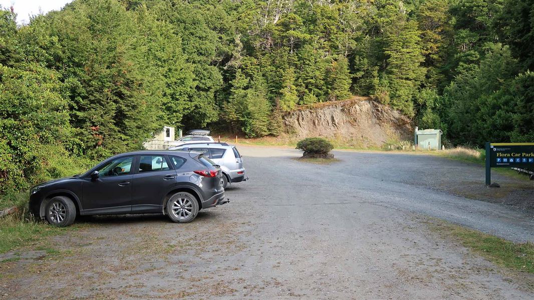
Flora Hut Walk
Easy • 30 min • 2 km • 3.88 km away
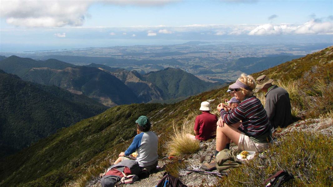
Lodestone summit
Advanced • 4 - 5 hr return • 4 km | 7.5 km return • 3.99 km away
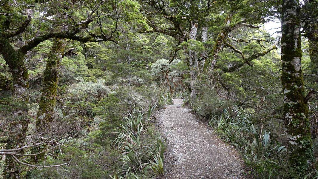
Mt Arthur Hut Walk
Easy • 1 hr 30 min • 4.2 km • 4.12 km away
Contact
Nelson/Tasman/Marlborough information
Regional DOC service centre.
Notes from people who have been
No notes yet. If you have been, say what you found.
Something missing or out of date?
Closed, moved, wrong facts, or something we have missed? Travellers keep the Road Guide up to date. Tell us what you found at contribute@parkup.nz and we will check it and add it.
Ask us to take this down
A person reads every request. We do not remove a place until we have checked it.
Sources
- DOC Huts · CC BY 4.0Data sourced from the Department of Conservation (DOC), New Zealand.
- OpenStreetMap Huts · ODbL (Open Database License)Contains information from OpenStreetMap, made available under the ODbL.
- DOC Huts (API) · CC BY 4.0Crown Copyright: Department of Conservation Te Papa Atawhai. Data sourced from the DOC Developer Portal (api.doc.govt.nz).