Mt Arthur Hut
Serviced hutKahurangi National Park, TasmanOpen
Current advisories
Predator control in Cobb area of Kahurangi National Park
30 June 2026
A predator control operation using toxic bait containing 1080 was completed on 1 July 2026. The Cobb area of Kahurangi National Park is open. See the pesticide summary map for the operation area. There may be toxic carcasses and bait (green coloured pellets) in the area. It's not safe to hunt for food in this area for up to 8 months. Warning signs and this web alert will be removed when the area is safe again. This operation is part of DOC's National Predator Control Programme to protect native species. First published on 15 May 2026. Last reviewed on 1 July 2026.
4WD recommended to access Flora car park up Graham Valley Road
28 September 2026
Access to Flora car park up Graham Valley Road is open but a 4WD vehicle is recommended. First published on 13 July 2025. Last reviewed on 29 September 2026.
Source: DOC Te Papa Atawhai alerts.
- Sleeps
- 8 bunks
- Booking
- Can book
- Cost
- from $25
- Heating
- Yes
- Drinking water
- Boil first
- Toilet
- Non-flush
Getting there
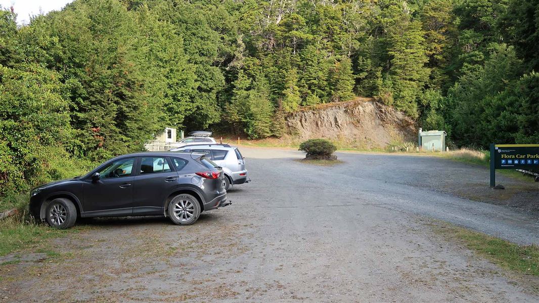
We have not checked a road end or car park for this place yet, so we do not give driving directions to it. Check how to get there before you go. Some routes cross private land and need the landowner's permission.
How to get there, on doc.govt.nzFlora car park is 75 km from Nelson and 36 km from Motueka.
The Motueka Valley Highway links Nelson and Motueka. Turn off this road at Ngātīmoti and cross the Motueka River. Turn left onto Motueka River West Bank Road, then right into Graham Valley Road, which climbs steeply to the car park. The last 5.8 km is unsealed and turning a vehicle on the road can be difficult. 4WD is recommended at all times of the year.
- Topo map
- Topo50 sheet BQ24
- Grid reference
- E1576023, N5439296
Source: DOC Te Papa Atawhai.
Map and tracks
Track lines: DOC Te Papa Atawhai. Map data © OpenStreetMap contributors. Topo map: LINZ, CC BY 4.0. 41.19769° S, 172.71565° E
About this place
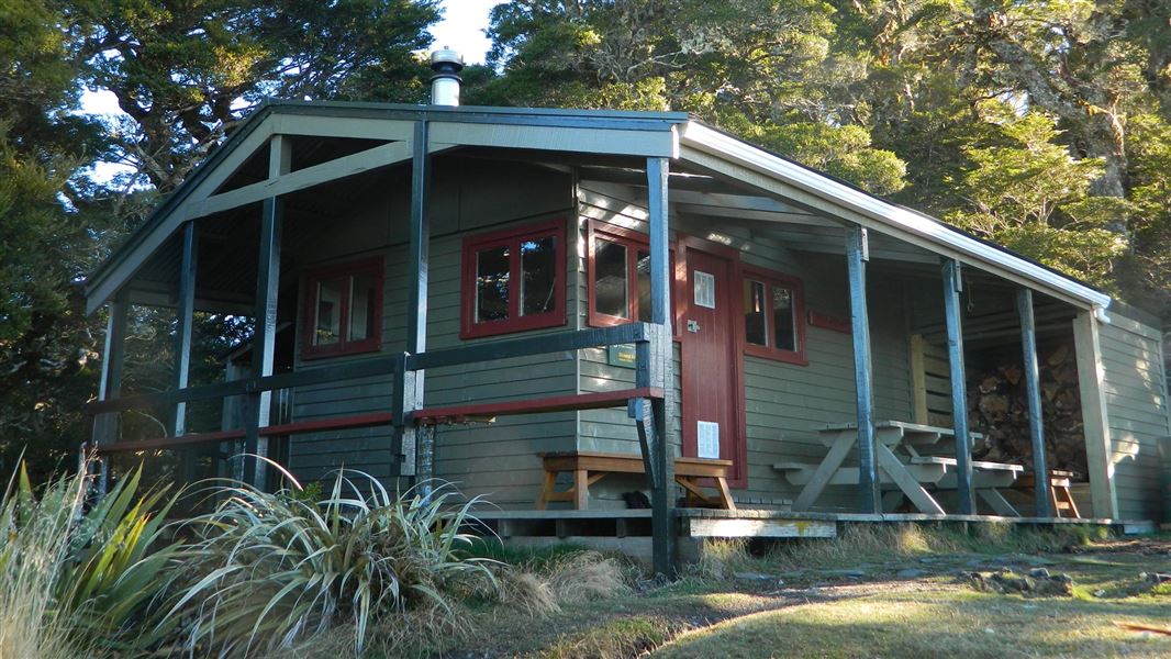
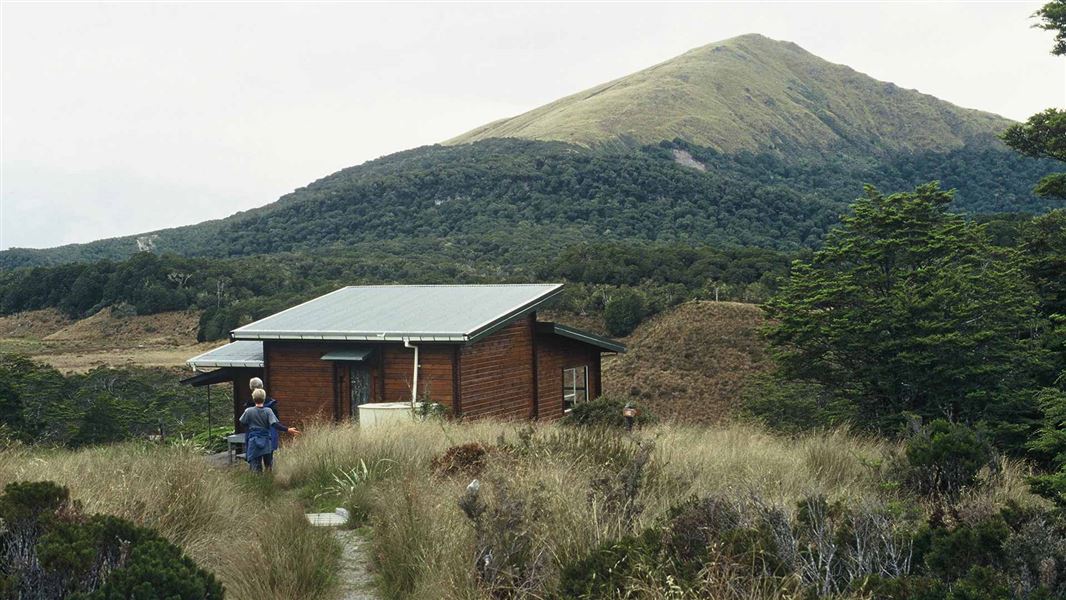
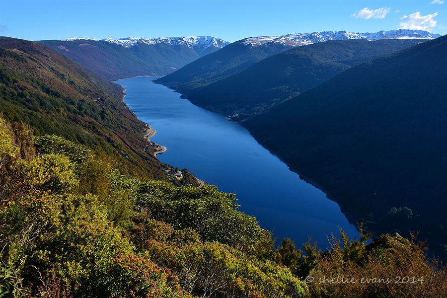
This hut is great as a half day walk or as an overnight tramp for families with children or new trampers.
On the way here
Ellis Basin Route · 2 days
Flora car park - Mt Arthur Hut
Time: 1 hr 30 min
4.2 km
Mt Arthur Hut - Mt Arthur summit
Time: 2 - 3 hr
km
Mount Arthur Summit Route · 3 hr 30 min - 4 hr 30 min one way
Flora car park to Mt Arthur Hut
Time: 1 hr 30 min
4.2 km Follow the Mt Arthur Hut Walk from Flora car park to Mt Arthur Hut.
Mt Arthur Hut to Mt Arthur
Time: 2 - 3 hr
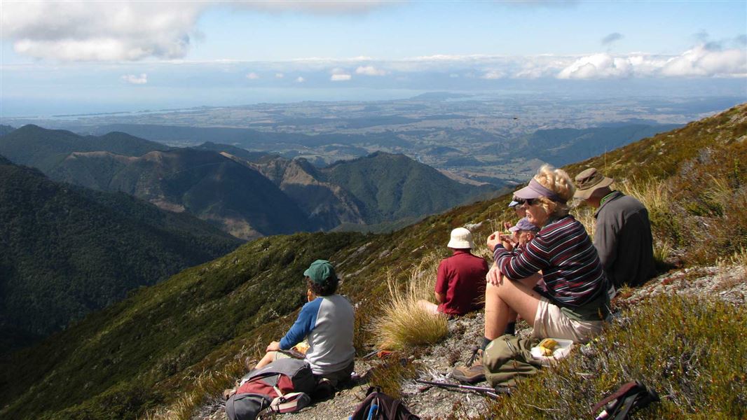
km From Mt Arthur Hut, a marked route follows the Wharepapa/Arthur Range and offers panoramic views and a good look at the rock formations that make this mountain special. Aside from a small patch of bush above the hut, the summit route is an exposed, alpine environment the entire way. Extreme weather (including high wind, low visibility, freezing temperatures and rain/snow) is common, so this trip is best done in good weather. The route climbs from Mt Arthur Hut onto a ridge, with marker poles showing the way. The route undulates then climbs more steeply above the side of Horseshoe Basin. Around halfway to the summit, you will reach a junction – a route from here leads across Horseshoe Basin and Pyramid Ridge, towards Gordons Pyramid and the Tablelands. Continue on the Mt Arthur Summit Route. The route drops to a saddle, then climbs steeply towards Winter Peak (1750m). Just below Winter Peak you will come to another track junction – from here, the Ellis Basin Route drops down to Ellis Hut. The Mt Arthur Summit Route skirts around the back of Winter Peak, then climbs steeply to the Mt Arthur Summit – expect to be scrambling up rocky terrain. The Mt Arthur Summit is spacious and has spectacular views.
Mt Arthur Hut Walk · 1 hr 30 min
). Mt Arthur Hut is just on the tree line – walk a bit further above the hut for views to Mt Arthur and the Tablelands.
Source: DOC Te Papa Atawhai.
Trip options
Walking times come from DOC track descriptions, added up leg by leg from car-accessible trailheads. Nights and return times are ParkUp estimates, allowing about 8 hours of walking a day.
8 options · 1 to 2 nights
Flora car park
Tracks used: Ellis Basin Route → Mount Arthur Summit Route
Walking in
1 hr 30 min
Walking out
1 hr 30 min to Flora car park
Tracks used: Ellis Basin Route → Mount Arthur Summit Route
Walking in
1 hr 30 min
Walking out
3 hr to Mt Arthur
Walking in
1 hr 30 min
Walking out
3 hr to Mt Arthur
Source: DOC Te Papa Atawhai track descriptions.
Fees and bookings
1 May - 30 September
1 October - 30 April
Weekdays
Weekends
1 December - 29 February
Weekdays
Weekends
Backcountry Hut Passes can be used at this hut. About hut tickets and passes Retailers that sell hut tickets and passes
Bookings are open for stays up to 30 June 2027. If no availability shows online for your dates, the hut is fully booked. No spaces are kept for visitors arriving without a booking. Phone and in‑person bookings made at a visitor centre incur a $10 service fee. Same‑day bookings are available online until 8 pm if spaces remain.
Source: DOC Te Papa Atawhai.
On these tracks
Source: DOC Te Papa Atawhai.
Nearby stops
Flora Hut
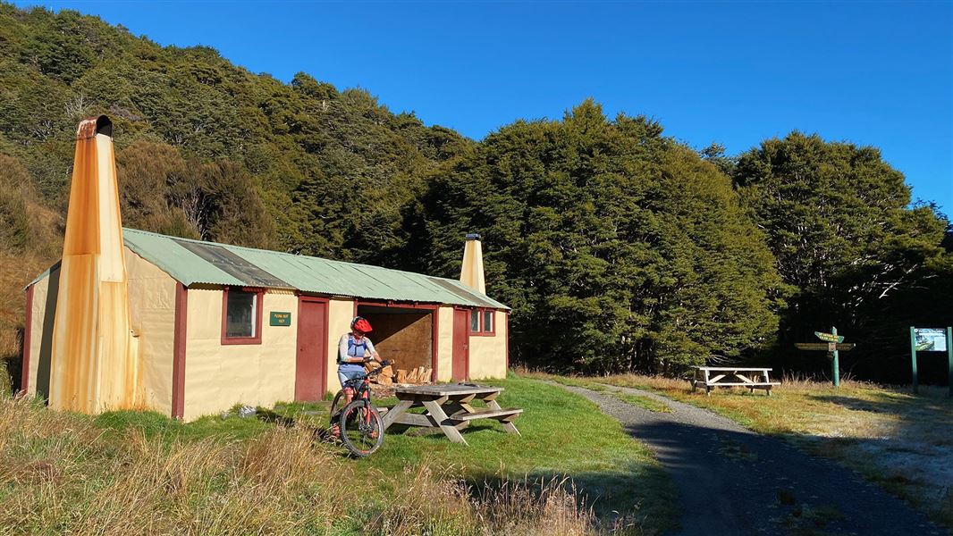
Basic/bivvies • 12 bunks • Tasman • 2.1 km
Flora Hut is located in the Tasman region and is a short, easy walk from the road end. It is suitable for families with children looking for an overnight tramp.
Heating • Mattresses • Toilets - non-flush
Ellis Hut
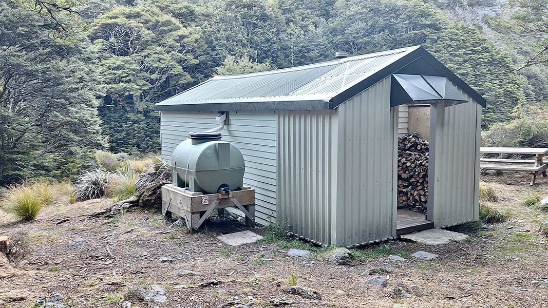
Standard • 6 bunks • Tasman • 5.1 km
Ellis Hut is a standard 6-bunk hut located in the Motueka area of the Tasman region.
Heating • Mattresses • Toilets - non-flush
Ellis Hut
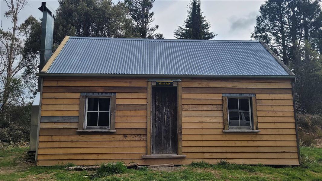
Basic/bivvies • 4 bunks • Hawke's Bay • 343.8 km
Ellis Hut is a historic hut located in Hawke's Bay. Built in 1884, it has been used for farming, wild animal control, and recreation.
Walks nearby
Flora Hut Walk
Easy • 30 min • 2 km • 2 km away
Lodestone summit
Advanced • 4 - 5 hr return • 4 km | 7.5 km return • 2.83 km away
Pearse Valley Route to Pearse River Resurgence
Expert • 3 hours one-way • 5 km • 4.71 km away
Salisbury Track
Easy • 4 hr one way • 14 km • 5.26 km away
Cobb Ridge Route
Expert • 6 hr one way • 13 km one way • 8.58 km away
Contact
Nelson/Tasman/Marlborough information
Regional DOC service centre.
Notes from people who have been
No notes yet. If you have been, say what you found.
Something missing or out of date?
Closed, moved, wrong facts, or something we have missed? Travellers keep the Road Guide up to date. Tell us what you found at contribute@parkup.nz and we will check it and add it.
Ask us to take this down
A person reads every request. We do not remove a place until we have checked it.
Sources
- DOC Huts (API) · CC BY 4.0Crown Copyright: Department of Conservation Te Papa Atawhai. Data sourced from the DOC Developer Portal (api.doc.govt.nz).
- DOC Huts · CC BY 4.0Data sourced from the Department of Conservation (DOC), New Zealand.
- OpenStreetMap Huts · ODbL (Open Database License)Contains information from OpenStreetMap, made available under the ODbL.