Mount Arthur Summit Route
WalkTasman
- Grade
- Expert
- Walking time
- 8 hr
- Distance
- 9.2 km one way
- Dogs
- No dogs
Access: read before you go
The Motueka Valley Highway links Nelson and Motueka. Turn off this road at Ngātīmoti and cross the Motueka River. Turn left onto Motueka River West Bank Road, then right into Graham Valley Road, which climbs steeply to the car park. The last 5.8 km is unsealed and turning a vehicle on the road can be difficult. 4WD is recommended at all times of the year.
Source: DOC Te Papa Atawhai.
Getting there
We have not checked a road end or car park for this place yet, so we do not give driving directions to it. Check how to get there before you go. Some routes cross private land and need the landowner's permission.
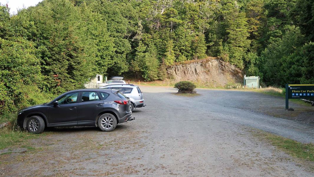
How to get there, on doc.govt.nzFlora car park is 75 km from Nelson and 36 km from Motueka.
The Motueka Valley Highway links Nelson and Motueka. Turn off this road at Ngātīmoti and cross the Motueka River. Turn left onto Motueka River West Bank Road, then right into Graham Valley Road, which climbs steeply to the car park. The last 5.8 km is unsealed and turning a vehicle on the road can be difficult. 4WD is recommended at all times of the year.
Source: DOC Te Papa Atawhai.
Map and tracks
Track lines: DOC Te Papa Atawhai. Map data © OpenStreetMap contributors. Topo map: LINZ, CC BY 4.0. 41.20379° S, 172.70514° E
About this place
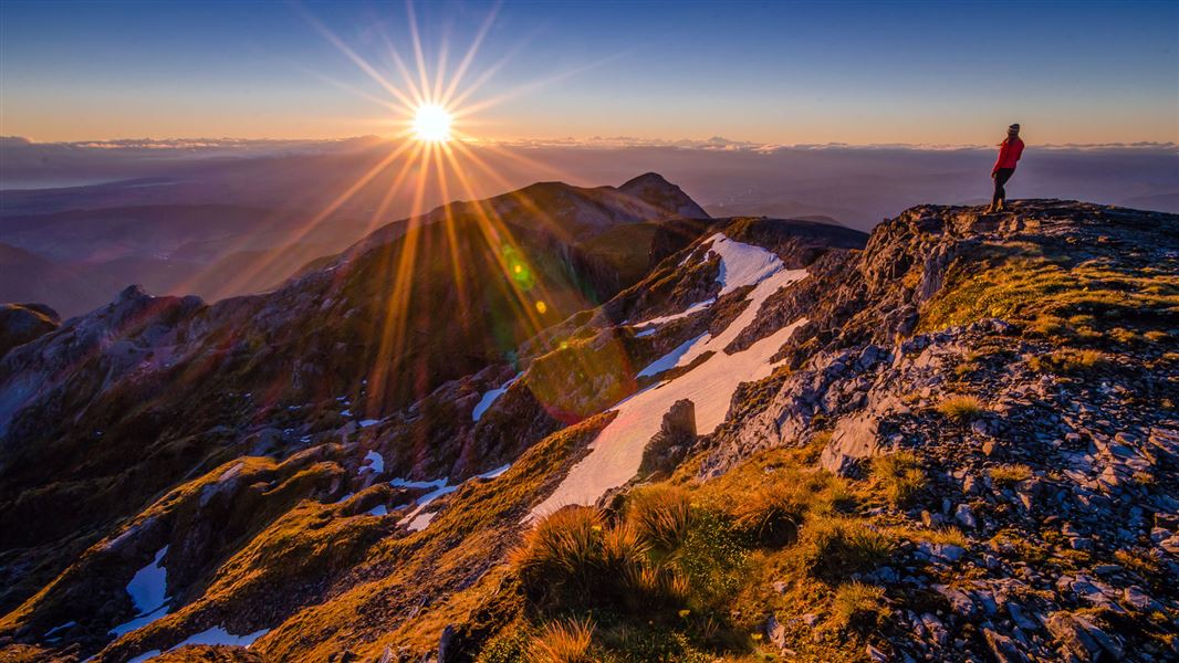
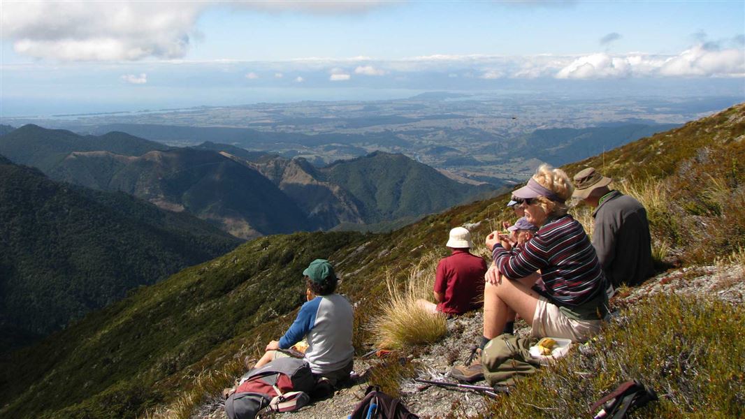
Climb to the top of Mt Arthur (1795 m) for panoramic views.
The route
Flora car park to Mt Arthur Hut
Time: 1 hr 30 min
4.2 km Follow the Mt Arthur Hut Walk from Flora car park to Mt Arthur Hut.
Mt Arthur Hut to Mt Arthur
Time: 2 - 3 hr
km From Mt Arthur Hut, a marked route follows the Wharepapa/Arthur Range and offers panoramic views and a good look at the rock formations that make this mountain special. Aside from a small patch of bush above the hut, the summit route is an exposed, alpine environment the entire way. Extreme weather (including high wind, low visibility, freezing temperatures and rain/snow) is common, so this trip is best done in good weather. The route climbs from Mt Arthur Hut onto a ridge, with marker poles showing the way. The route undulates then climbs more steeply above the side of Horseshoe Basin. Around halfway to the summit, you will reach a junction – a route from here leads across Horseshoe Basin and Pyramid Ridge, towards Gordons Pyramid and the Tablelands. Continue on the Mt Arthur Summit Route. The route drops to a saddle, then climbs steeply towards Winter Peak (1750m). Just below Winter Peak you will come to another track junction – from here, the Ellis Basin Route drops down to Ellis Hut. The Mt Arthur Summit Route skirts around the back of Winter Peak, then climbs steeply to the Mt Arthur Summit – expect to be scrambling up rocky terrain. The Mt Arthur Summit is spacious and has spectacular views.
Source: DOC Te Papa Atawhai.
Joins these tracks
Source: DOC Te Papa Atawhai.
Nearby stops
Flora Hut
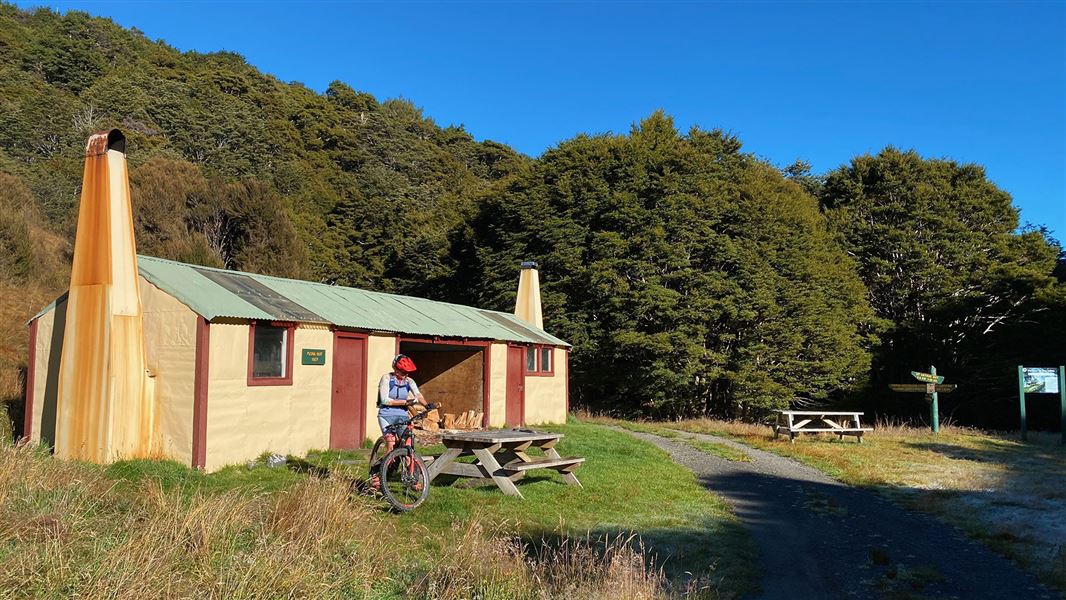
Basic/bivvies • 12 bunks • Tasman • 3.2 km
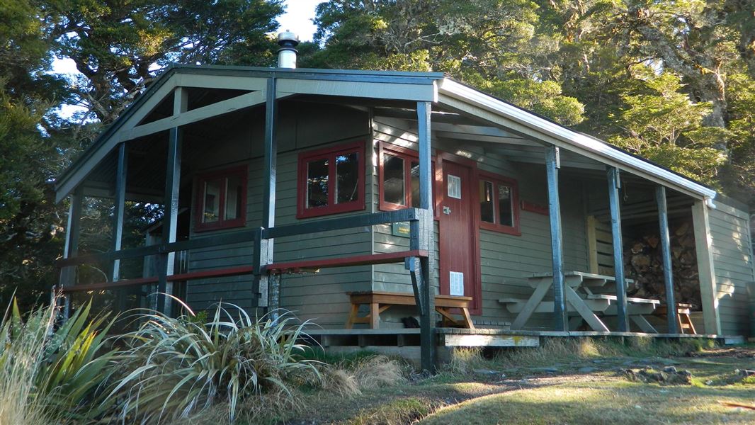
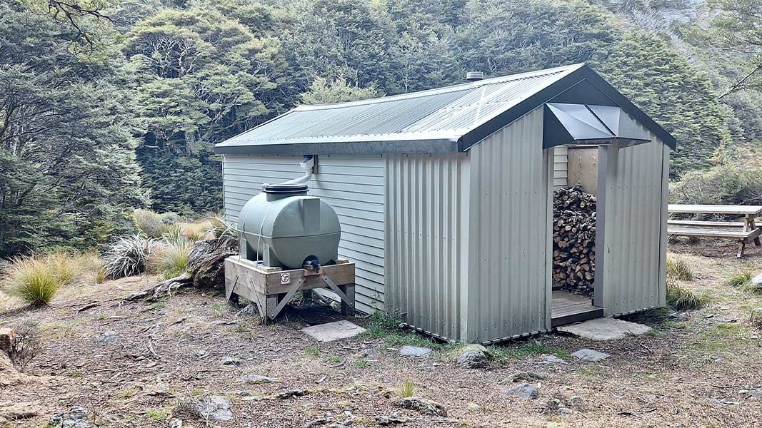
Flora Hut is located in the Tasman region and is a short, easy walk from the road end. It is suitable for families with children looking for an overnight tramp.
Heating • Mattresses • Toilets - non-flush
Upper Gridiron Hut
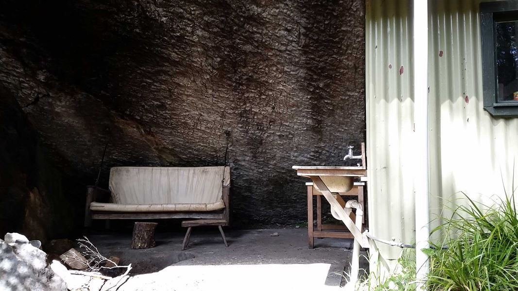
Standard • 3 bunks • Tasman • 3.8 km
Upper Gridiron Hut is a standard 3-bunk hut located in the Motueka area of the Tasman region.
Heating • Mattresses • Toilets - non-flush
Ellis Hut
Standard • 6 bunks • Tasman • 4.1 km
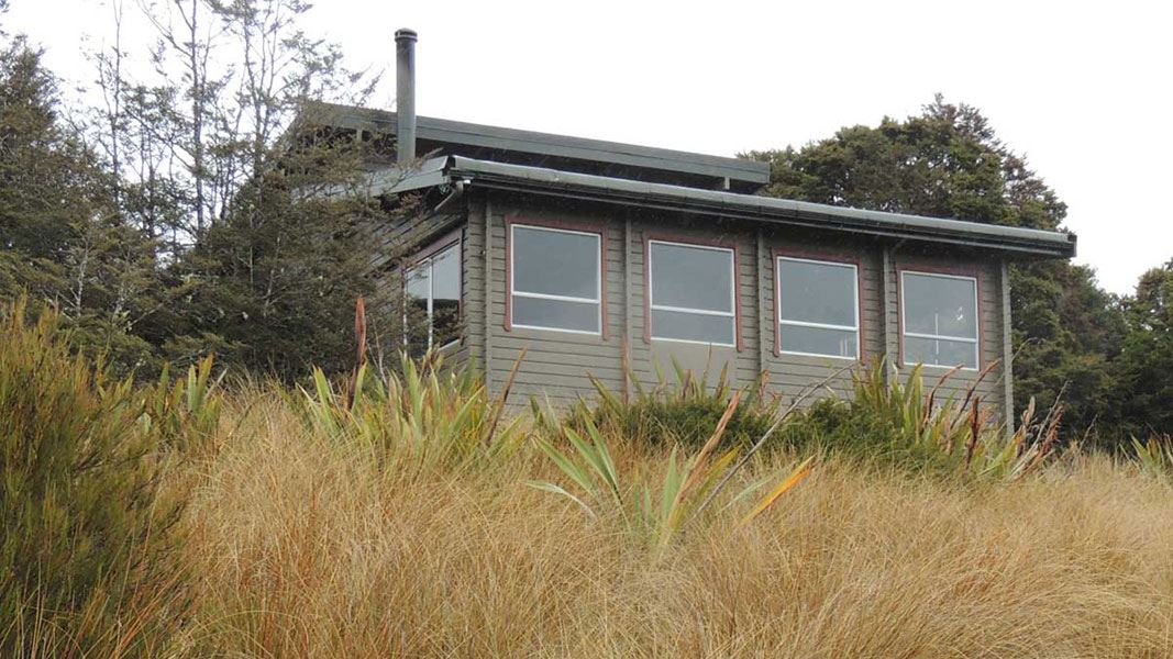
Ellis Hut is a standard 6-bunk hut located in the Motueka area of the Tasman region.
Heating • Mattresses • Toilets - non-flush
Salisbury Lodge
Serviced • 22 bunks • Tasman • 5.1 km
Salisbury Lodge is a serviced 22-bunk hut located in the Motueka area of the Tasman region.
Heating • Mattresses • Toilets - non-flush

Balloon Hut
Serviced • 14 bunks • Tasman • 7.9 km
Balloon Hut is a serviced 14-bunk hut located in the Motueka area of the Tasman region.
Heating • Mattresses • Toilets - non-flush
Walks nearby
Flora Hut Walk
Easy • 30 min • 2 km • 3.1 km away
Lodestone summit
Advanced • 4 - 5 hr return • 4 km | 7.5 km return • 3.95 km away
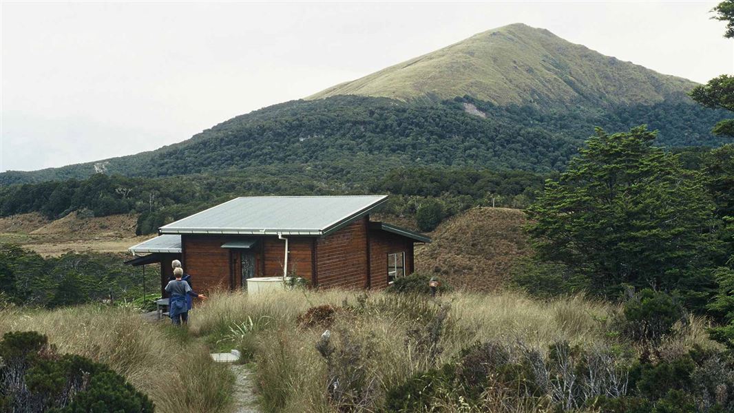
Salisbury Track
Easy • 4 hr one way • 14 km • 4.82 km away
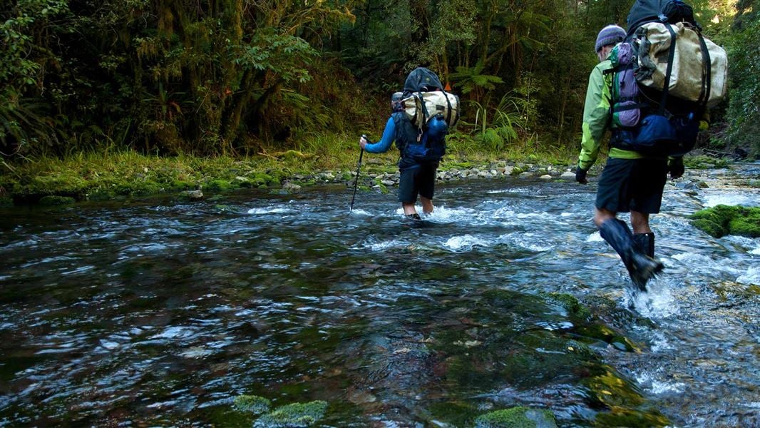
Pearse Valley Route to Pearse River Resurgence
Expert • 3 hours one-way • 5 km • 5.16 km away
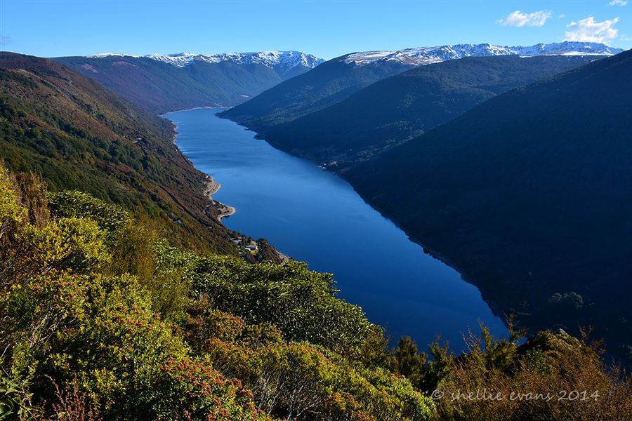
Cobb Ridge Route
Expert • 6 hr one way • 13 km one way • 8.73 km away
Notes from people who have been
No notes yet. If you have been, say what you found.
Something missing or out of date?
Closed, moved, wrong facts, or something we have missed? Travellers keep the Road Guide up to date. Tell us what you found at contribute@parkup.nz and we will check it and add it.
Ask us to take this down
A person reads every request. We do not remove a place until we have checked it.
Sources
- DOC Tracks (API) · CC BY 4.0Crown Copyright: Department of Conservation Te Papa Atawhai. Data sourced from the DOC Developer Portal (api.doc.govt.nz).