Tussock Hut
Standard hutKaweka Forest Park, Hawke's BayOpen
- Sleeps
- 6 bunks
- Booking
- Not bookable
- Cost
- from $15
- Heating
- Yes
- Drinking water
- Boil first
- Toilet
- Non-flush
Getting there
We have not checked a road end or car park for this place yet, so we do not give driving directions to it. Check how to get there before you go. Some routes cross private land and need the landowner's permission.
How to get there, on doc.govt.nzThere is a helipad 25 metres behind the hut. Flight availability and costs can be obtained from helicopter concessionaires in the central North Island.
Tussock Hut can be reached by:
From Boyd's Lodge in the Kaimanawa Forest Park allow 3 hours travel time, but take care that fording the Ngaruroro River is safe following heavy rainfall.
The track starts at the carpark and climbs over the main Kaweka Range (1700 metres) via a poled track passing a side track to Ballard Hut. The track continues to Tira Lodge and Te Puke Hut down past Harkness Hut before heading north up Tussock Valley to Tussock Hut.
Some caution may be required during adverse weather conditions on the exposed open tops.
This track starts at the roadend for Makino Hut and climbs steadily up to Makino Hut. The track then heads down into the Makino River valley, rising up to the Mangaturutu Tops and Mangaturutu Hut. From here the track passes Te Puke Hut down past Harkness Hut before heading north up Tussock Valley to Tussock Hut.
Tussock Hut is well situated for brief or overnight stops when heading to further points throughout the park and also as a ‘through’ trip from the Kaimanawa Forest Park to the eastern boundaries of the Kaweka Forest Park. For example a tramp from Makahu Saddle car park would require 2 to 3 days or approximately 17 hours travel time with a full pack.
From Tussock Hut, formed tracks lead south to Harkness Hut (up to 3 hours) and west to Boyd's Lodge (reached after 2.5 hours by fording the Ngaruroro River). By continuing south and following the Ngaawapurua (Harkness) Stream, Ngaawapurua Hut can be reached at the junction of the Ngaruroro River and Harkness stream (5 hours).
We recommend 4WD vehicles to reduce wear on the road and safe travel.
- Topo map
- Topo50 sheet BH37
- Grid reference
- E1877800, N5659920
Source: DOC Te Papa Atawhai.
Map
Map data © OpenStreetMap contributors. Topo map: LINZ, CC BY 4.0. 39.16559° S, 176.21532° E
About this place
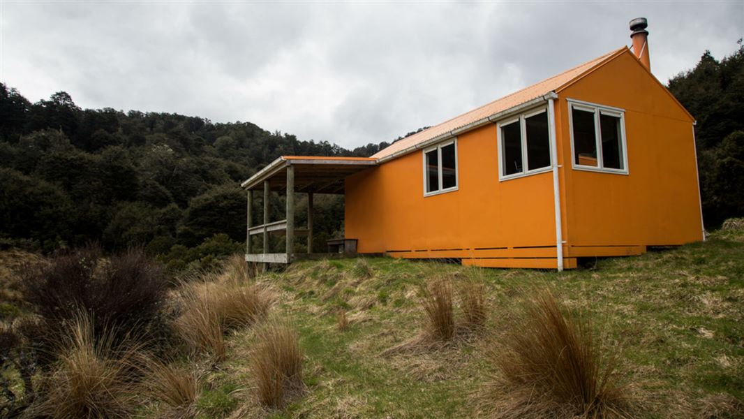
Tussock Hut is located at the upper (northern) end of Tussock Valley, on a tributary of Ngaawapurua (Harkness) Stream.
Fees and bookings
Before you go, buy Hut Tickets for each night's stay. Put these in the honesty box at the hut. Or buy a Backcountry Hut Pass that gives unlimited use at most Standard and Serviced huts for a 12 month period. Retailers that sell hut tickets and passes
Source: DOC Te Papa Atawhai.
Nearby stops
Tussock Saddle Bivvy
Hawke's Bay • 2.3 km
Tussock Saddle Bivvy is a basic shelter located in Hawke's Bay. It provides a simple overnight stop for hikers in the area.
Gold Creek Hut
Hawke's Bay • 3.9 km
Harkness Hut
Standard • 6 bunks • Hawke's Bay • 3.9 km
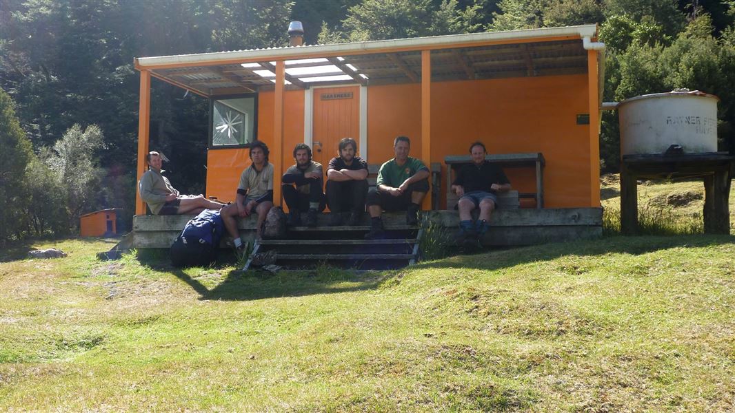
Harkness Hut is a hut located in Hawke's Bay. It sits 10 minutes' walk up a side tributary of the Ngaawapurua (Harkness) Stream.
Heating • Mattresses • Toilets - non-flush
Boyd Hut
Standard • 16 bunks • Hawke's Bay • 4.2 km
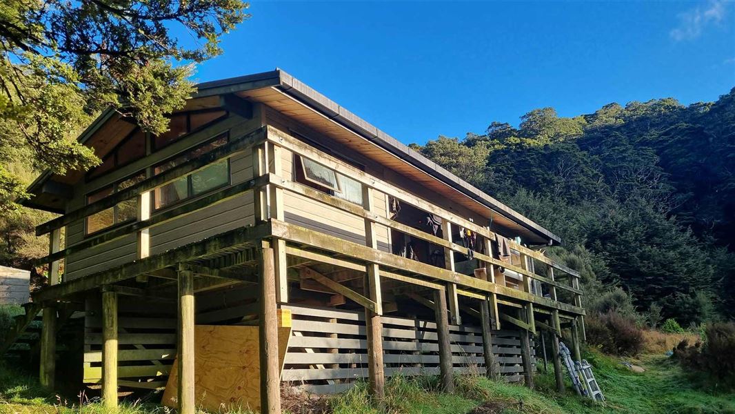
Boyd Hut is a standard 16-bunk hut located in the Kaimanawa Forest Park. It sits below the Boyd Rocks and overlooks the Ngaruroro Valley.
Heating • Mattresses • Toilets - non-flush
Mangatainoka Heads Shelter
Hawke's Bay • 5.3 km
Mangatainoka Heads Shelter is a hut located in Hawke's Bay. It provides basic accommodation for travelers in the region.
Contact
DOC Customer Service Centre
Regional DOC service centre.
Notes from people who have been
No notes yet. If you have been, say what you found.
Something missing or out of date?
Closed, moved, wrong facts, or something we have missed? Travellers keep the Road Guide up to date. Tell us what you found at contribute@parkup.nz and we will check it and add it.
Ask us to take this down
A person reads every request. We do not remove a place until we have checked it.
Sources
- OpenStreetMap Huts · ODbL (Open Database License)Contains information from OpenStreetMap, made available under the ODbL.
- DOC Huts (API) · CC BY 4.0Crown Copyright: Department of Conservation Te Papa Atawhai. Data sourced from the DOC Developer Portal (api.doc.govt.nz).
- DOC Huts · CC BY 4.0Data sourced from the Department of Conservation (DOC), New Zealand.