Toretore Island Walk
WalkNorthlandOpen
- Grade
- Easy
- Walking time
- 10 min
- Distance
- 700 m one way
- Dogs
- No dogs
Getting there
We have not checked a road end or car park for this place yet, so we do not give driving directions to it. Check how to get there before you go. Some routes cross private land and need the landowner's permission.
How to get there, on doc.govt.nzPark at the end of Te Wahapu Road (10 minutes from Russell township). Turn right at the boat ramp and walk around the beach to the Te Wahapu Reserve administered by the Far North District Council.
Toretore Island is accessible across a shingle bank from the Te Wahapu Reserve at mid-to-low tide only.
Source: DOC Te Papa Atawhai.
Map
Map data © OpenStreetMap contributors. Topo map: LINZ, CC BY 4.0. 35.28401° S, 174.11083° E
About this place
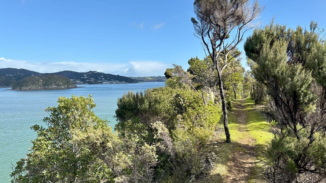
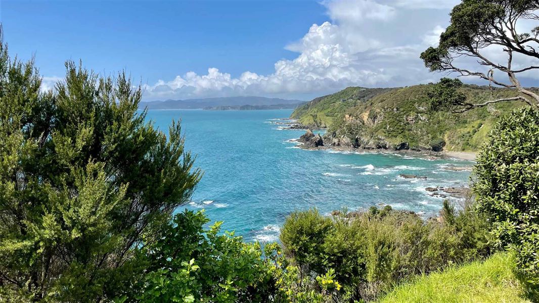
Located near Russell, this short walk traverses Toretore Island. It takes you through a young tōtara forest with views of the inner Bay of Islands and Paihia's off-shore islands.
The route
Between the tree trunks you can see glimpses of the inner Bay of Islands and the Veronica Channel leading to the port of Opua. You will find more open views of Paihia and Paihia's off-shore islands, Motu Maire and Kuia Rongouru, when you get to the north-western end of Toretore Island.
Source: DOC Te Papa Atawhai.
Nearby stops
Pahia TOP10 Holiday Park
Northland • 2 km
Russell Top10 Holiday Park
Northland • 3 km
Russell Top10 Holiday Park is a campsite located in Northland. No further details are available in the provided records.
Waitangi Holiday Park
Northland • 3.2 km
Orongo Bay Holiday Park
Northland • 3.4 km
Orongo Bay Holiday Park is a campsite located in Northland. The available records provide no further details regarding specific facilities or amenities at this…
Waterfalls Estate - Motel & Campground
Northland • 5.2 km
Waterfalls Estate is a campsite located in the Northland region of New Zealand. The site operates alongside a motel, providing accommodation options for…
Walks nearby
Paihia School Road Track
Easy • 1 hr • 1.5 km • 2.65 km away
Flagstaff Hill Track
Easy • 30 min • 2.5 km • 3.12 km away
Nancy Fladgate Track
Easy • 15 min • 500 m • 3.29 km away
Oromahoe Traverse
Intermediate • 2 hr 30 min one way • 6 km one way • 3.99 km away
Tapeka Point Track
Easy • 15 min one way • 500 m one way • 4.54 km away
Notes from people who have been
No notes yet. If you have been, say what you found.
Something missing or out of date?
Closed, moved, wrong facts, or something we have missed? Travellers keep the Road Guide up to date. Tell us what you found at contribute@parkup.nz and we will check it and add it.
Ask us to take this down
A person reads every request. We do not remove a place until we have checked it.
Sources
- DOC Tracks & Trails · CC BY 4.0Data sourced from the Department of Conservation (DOC), New Zealand.
- DOC Tracks (API) · CC BY 4.0Crown Copyright: Department of Conservation Te Papa Atawhai. Data sourced from the DOC Developer Portal (api.doc.govt.nz).