Tongariro Holiday Park
CampsiteManawatū-Whanganui
Map
Map data © OpenStreetMap contributors. Topo map: LINZ, CC BY 4.0. 39.04622° S, 175.60447° E
Got a good photo of this place? Send it to us and we will show it with your name.
About this place
Tongariro Holiday Park is a campsite located in the Manawatū-Whanganui region. It provides basic accommodation for visitors exploring the surrounding area.
Nearby stops
Cross X Roads
Manawatū-Whanganui • 0.7 km
Okupata Caves Carpark
Manawatū-Whanganui • 7.3 km
Okupata Caves Carpark is on Pukehinau Road in Ruapehu District, within Tongariro Conservation Area. Certified self-contained vehicles may stay up to four…

Pokaka Mill Campsite
Basic • Manawatū-Whanganui • 8.4 km
Pokaka Mill Campsite is a basic campsite located in the Ruapehu area.
Non-powered/tent sites • Toilets - non-flush • Toilets

Mangatepopo Campsite
Great Walk • Manawatū-Whanganui • 11 km
Mangatepopo Campsite is a walk-in campsite located on the Tongariro Northern Circuit. Bookings are required during the Great Walks season.
Water from tap - not treated, boil before use • Toilets - non-flush • Toilets

Mangatepopo Hut
Great Walk • 20 bunks • Manawatū-Whanganui • 11 km
Mangatepopo Hut is a 20-bunk hut located on the Tongariro Northern Circuit in Ruapehu.
Cooking • Heating • Mattresses
Walks nearby
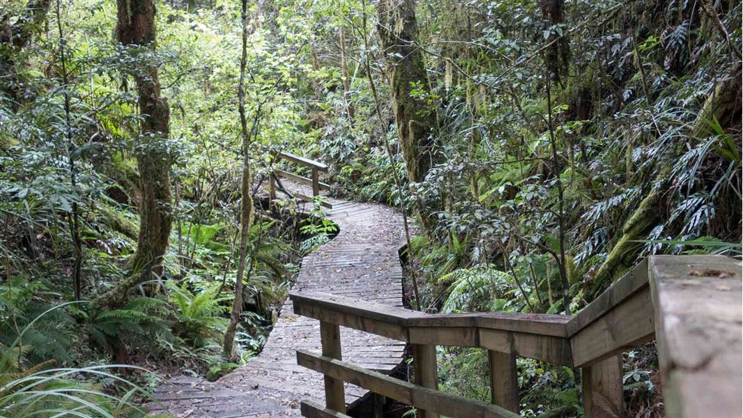
Taurewa Track
Easy • 2 - 3 hr • 4.5 km • 5.67 km away
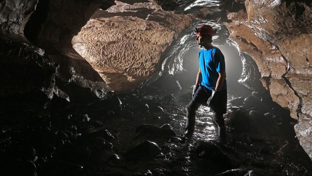
Okupata Caves
Expert • 1-4 hours • 7.26 km away
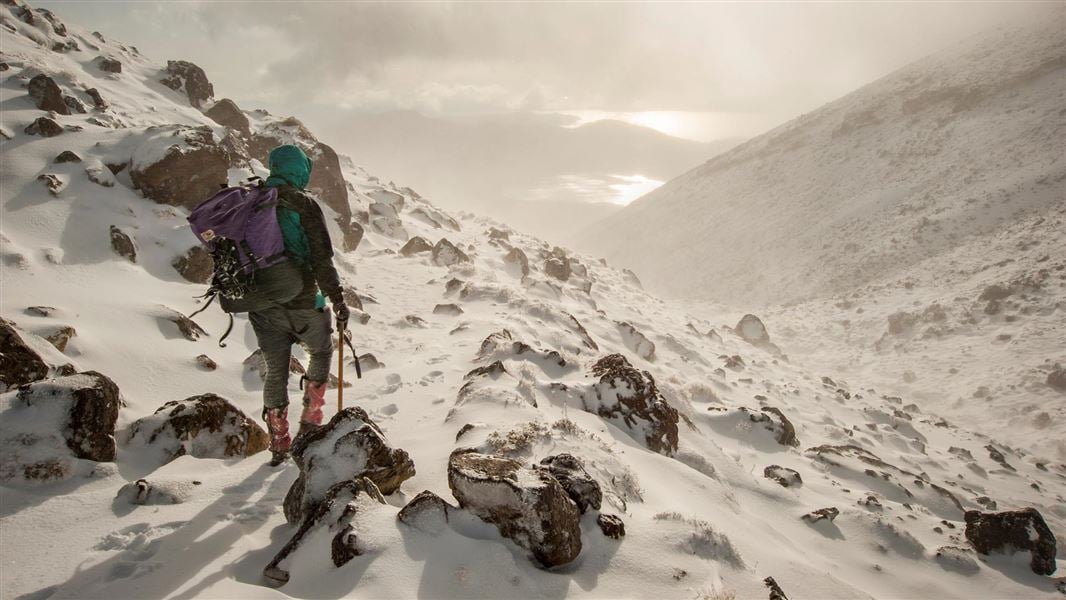
Tongariro Alpine Crossing
Intermediate • Nov-Apr: 7-8 hr | May-Oct: 9 hr • 20.2 km • 10.49 km away
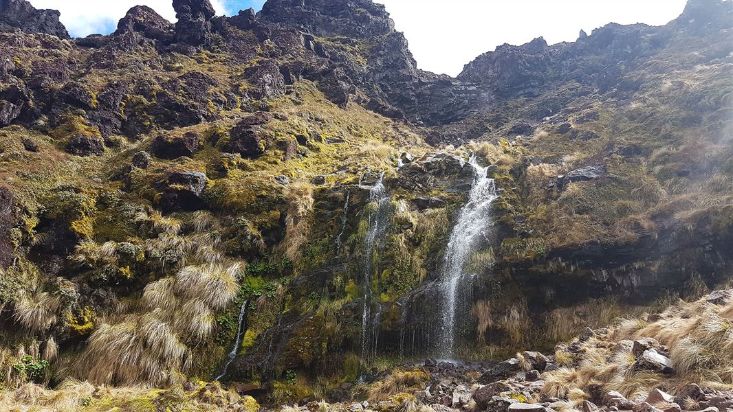
Soda Springs Walk
Easy • 2 hr return • 6 km • 10.78 km away
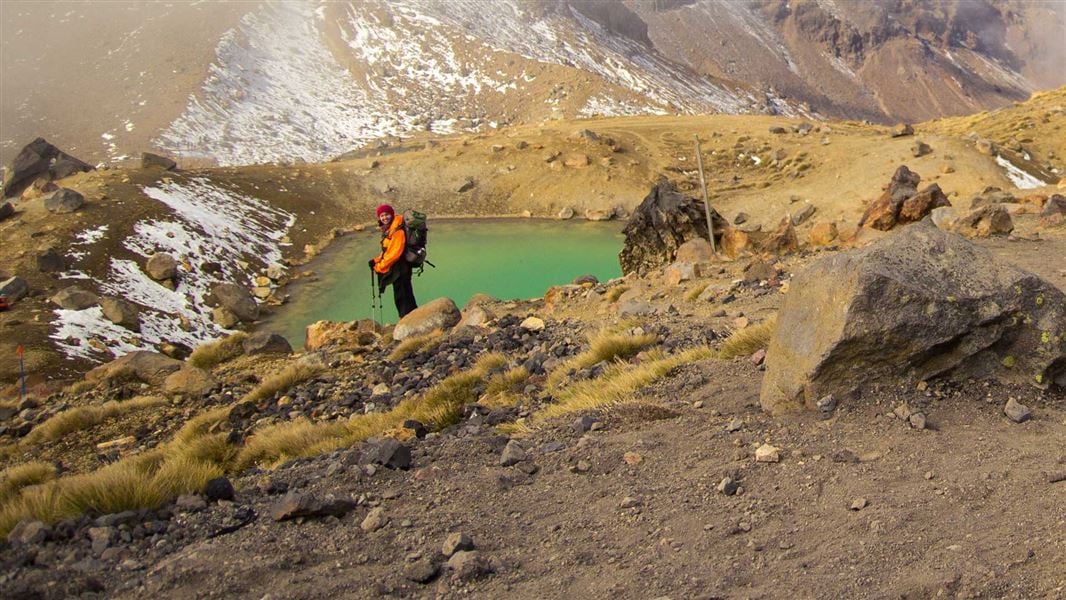
Tongariro Northern Circuit
Intermediate • 3-4 days • 35.5 km • 11.29 km away
Something missing or out of date?
Closed, moved, wrong facts, or something we have missed? Travellers keep the Road Guide up to date. Tell us what you found at contribute@parkup.nz and we will check it and add it.
Ask us to take this down
A person reads every request. We do not remove a place until we have checked it.
Sources
- OpenStreetMap Campsites · ODbL (Open Database License)Contains information from OpenStreetMap, made available under the ODbL.