Soper Shelter
Basic/bivvies hutKahurangi National Park, TasmanOpen
Current advisories
Predator control in Cobb area of Kahurangi National Park
30 June 2026
A predator control operation using toxic bait containing 1080 was completed on 1 July 2026. The Cobb area of Kahurangi National Park is open. See the pesticide summary map for the operation area. There may be toxic carcasses and bait (green coloured pellets) in the area. It's not safe to hunt for food in this area for up to 8 months. Warning signs and this web alert will be removed when the area is safe again. This operation is part of DOC's National Predator Control Programme to protect native species. First published on 15 May 2026. Last reviewed on 1 July 2026.
Kill Devil - Waingaro Track hut maintenance
23 September 2026
From 5-11 October 2026 staff will be doing maintenance work on the tracks and several huts along the Kill Devil - Waingaro Track. The following huts will not be available for you to stay in: Soper Shelter and Tin Hut on Monday 5 October 2026. Riordans Hut from 6-9 October 2026. Waingaro Forks Hut from 6-11 October 2026. Camping will be available outside of the huts during these dates. First published on 24 September 2026.
Anatoki Track storm damage
29 September 2026
Anatoki Track, between Road end and Anatoki Forks Hut, has suffered from severe storm damage. There are hazardous slips, and increasingly difficult stream crossings. Take extra care and allow for additional time between sections. First published on 12 January 2026. Last reviewed on 30 September 2026.
Source: DOC Te Papa Atawhai alerts.
- Sleeps
- 2 bunks
- Booking
- Not bookable
- Cost
- Free
- Heating
- Yes
- Drinking water
- Not drinkable
- Toilet
- Non-flush
Getting there
We have not checked a road end or car park for this place yet, so we do not give driving directions to it. Check how to get there before you go. Some routes cross private land and need the landowner's permission.
How to get there, on doc.govt.nz- Topo map
- Topo50 sheet BP24
- Grid reference
- E1566093, N5460459
Source: DOC Te Papa Atawhai.
Map and tracks
Track lines: DOC Te Papa Atawhai. Map data © OpenStreetMap contributors. Topo map: LINZ, CC BY 4.0. 41.00629° S, 172.59681° E
About this place
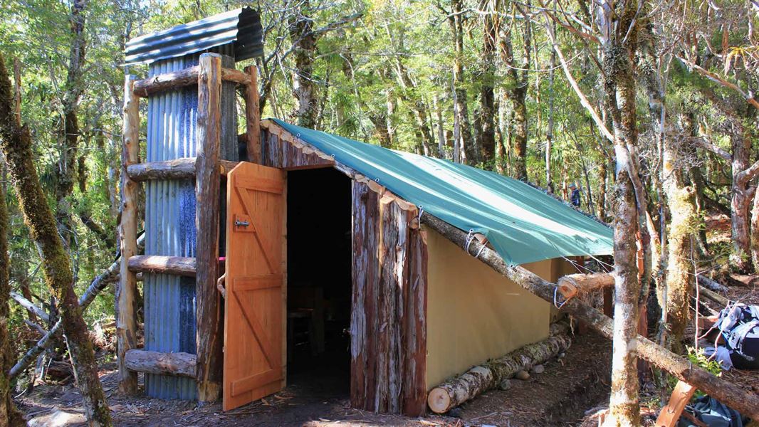
This is an historic tent-style replica hut in the Golden Bay area.
On the way here
Anatoki and Historic Kill Devil Pack Tracks · 3-5 days
Anatoki Forks Hut to Waingaro Forks Hut
Time: 7–10 hr
A short distance from the hut take the left branch at a junction to head towards Waingaro Forks Hut. (The right branch crosses the Anatoki River and climbs steeply towards Adelaide Tarn Hut.) The first 45 minutes follows the remains of water races. It is then a steady climb to the saddle, crossing and re-crossing a stream, before descending for 40 minutes to the Stanley River. Here lies a large clearing suitable for camping. Just less than one hour on from here and you reach the western end of Lake Stanley – formed in the Murchison earthquake in 1929. On the true right of the South Branch of the Stanley River, at the western end of Lake Stanley is Soper Shelter. A further hour and you reach the eastern end of the lake. The large slip here is still unstable, therefore it’s not safe to camp here. From here it is a further 3 hours – 3 hours 30 minutes onto the historic Waingaro Forks Hut. The track passes through forest and gravel flats and climbs to avoid the gorge before the junction of the Waingaro and Stanley Rivers.
Source: DOC Te Papa Atawhai.
Fees and bookings
Free
Source: DOC Te Papa Atawhai.
On these tracks
Source: DOC Te Papa Atawhai.
Nearby stops
Anatoki Forks Hut
Standard • 6 bunks • Tasman • 7.5 km
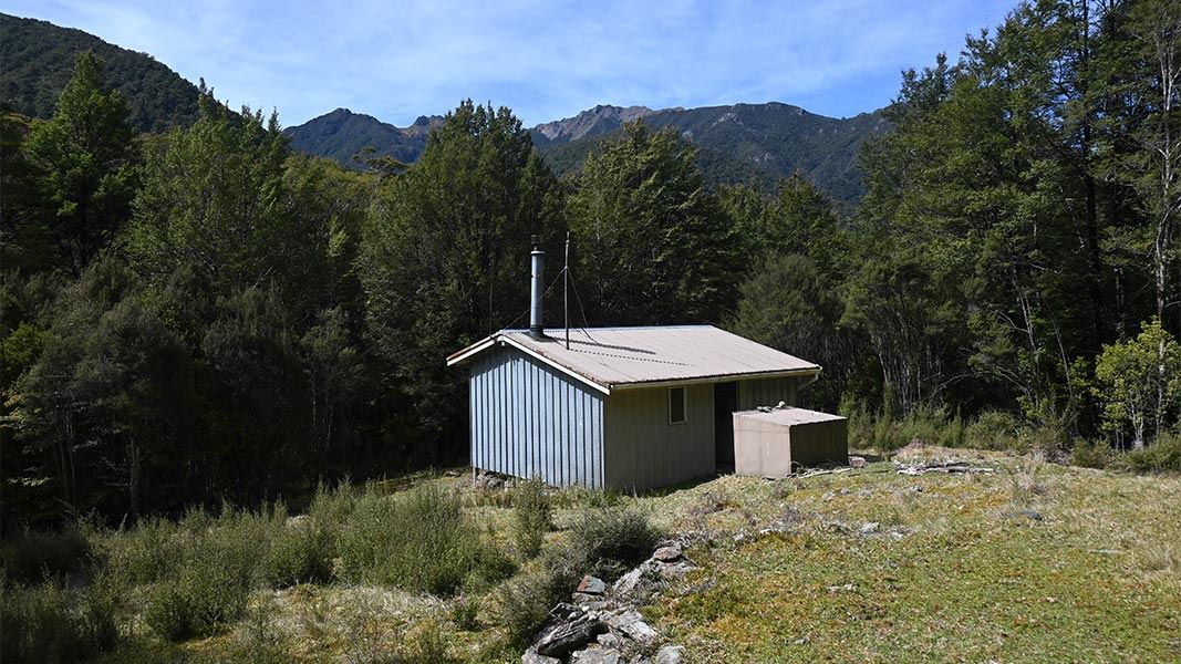
Anatoki Forks Hut is a standard six-bunk hut located in the Golden Bay area of the Tasman region.
Heating • Mattresses • Toilets - non-flush
Waingaro Forks Hut
Basic/bivvies • 4 bunks • Tasman • 7.8 km
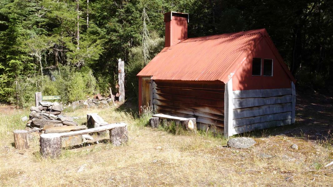
Waingaro Forks Hut is a basic 4-bunk hut located in the Golden Bay area of the Tasman region.
Heating • Mattresses • Toilets - non-flush
Riordans Hut
Basic/bivvies • 3 bunks • Tasman • 13 km
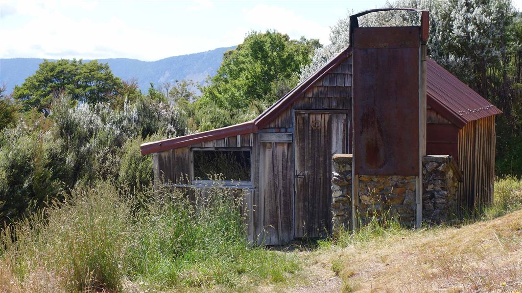
Riordans Hut is a basic 3-bunk hut located in the Golden Bay area of the Tasman region.
Heating • Mattresses • Toilets - non-flush
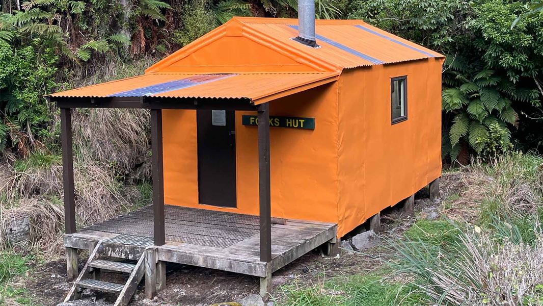
Forks Hut
Standard • 6 bunks • Manawatū-Whanganui • 299.3 km
Forks Hut is a standard six-bunk hut located in the Manawatu region.
Heating • Mattresses • Toilets - non-flush
Walks nearby
Contact
Nelson/Tasman/Marlborough information
Regional DOC service centre.
Notes from people who have been
No notes yet. If you have been, say what you found.
Something missing or out of date?
Closed, moved, wrong facts, or something we have missed? Travellers keep the Road Guide up to date. Tell us what you found at contribute@parkup.nz and we will check it and add it.
Ask us to take this down
A person reads every request. We do not remove a place until we have checked it.
Sources
- DOC Huts · CC BY 4.0Data sourced from the Department of Conservation (DOC), New Zealand.
- OpenStreetMap Huts · ODbL (Open Database License)Contains information from OpenStreetMap, made available under the ODbL.
- DOC Huts (API) · CC BY 4.0Crown Copyright: Department of Conservation Te Papa Atawhai. Data sourced from the DOC Developer Portal (api.doc.govt.nz).