Signal Station Track
WalkNorthlandOpen
- Grade
- Easiest
- Walking time
- 15 min
- Distance
- 813 m
- Dogs
- DOC permit only
Getting there
We have not checked a road end or car park for this place yet, so we do not give driving directions to it. Check how to get there before you go. Some routes cross private land and need the landowner's permission.
How to get there, on doc.govt.nzSignal Station Track starts from the Arai Te Uru Recreational Reserve carpark.
Arai Te Uru Recreational Reserve is at Hokianga Heads, 56 km west of Kaikohe. From Kaikohe, travel west along SH12 through Omapere. Take a right into Signal Station Rd. The reserve and carpark is at the end of the road.
Source: DOC Te Papa Atawhai.
Map
Map data © OpenStreetMap contributors. Topo map: LINZ, CC BY 4.0. 35.53554° S, 173.36912° E
About this place
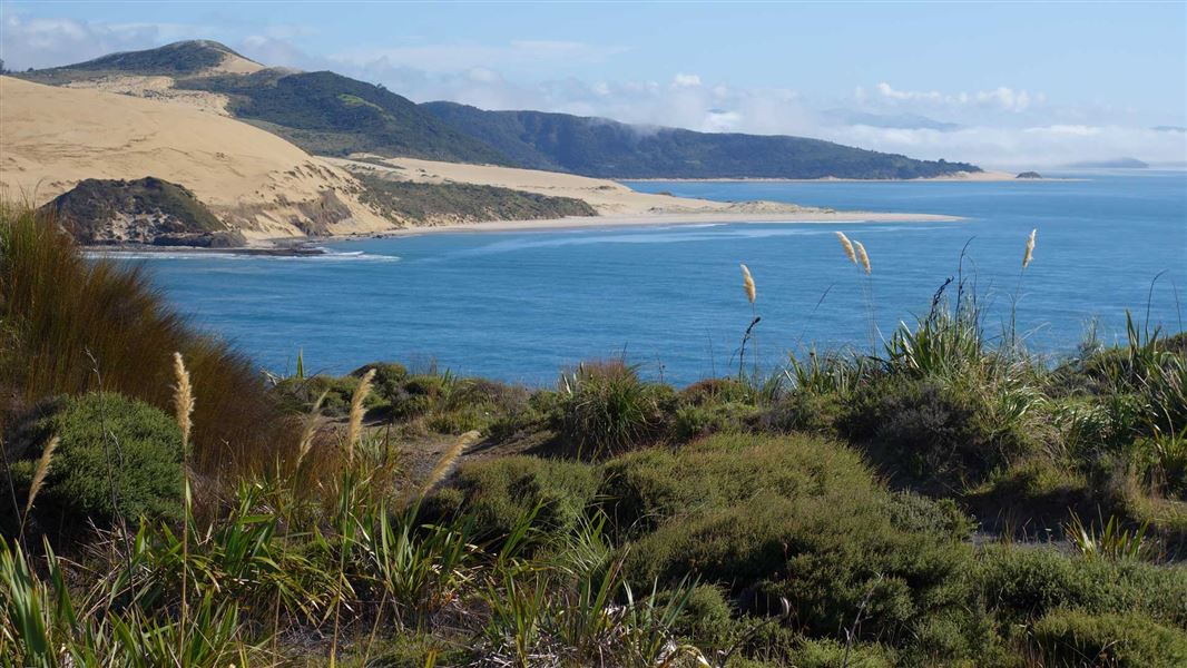
Enjoy spectacular views of the harbour and coastline on this short easy walk that’s suitable for children.
The route
The track follows the top of the cliffs, then enters tall manuka and suddenly opens out at the headland and grassed lookout. The grassy terraces provide sheltered picnic sites and wonderful views up the harbour away from the prevailing westerly winds. There is access to the harbour via the Martins Bay track. The track is not suitable for wheelchairs but it’s possible for buggies and strollers to access the headland – however there’s no access for buggies to Martins Bay.
Source: DOC Te Papa Atawhai.
Nearby stops
Opononi Beach Holiday Park
Northland • 3.6 km
Opononi Beach Holiday Park is a campsite located in Northland. It offers accommodation for visitors in the Opononi area.
Camping camper vans
Northland • 7.8 km

Frampton's Hut
Standard • 6 bunks • Northland • 9.7 km
Frampton's Hut is a six-bunk standard hut located in the Waimā Forest in Northland.
Toilets - non-flush • Water from tap - not treated, boil before use • Water supply
Walks nearby
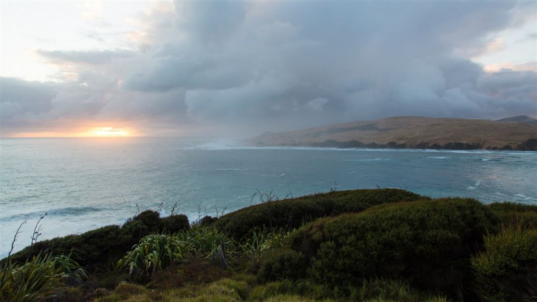
Martins Bay Track
Easiest • 5 min one way • 290 m • 0.21 km away
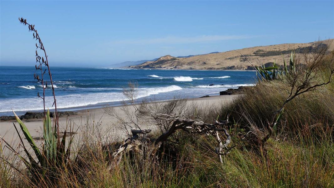
Waimamaku Coastal Track
Easy • 4 hr • 10.1 km • 3.65 km away
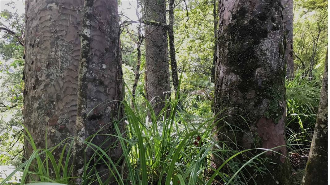
Waiotemarama Waterfall Walk
Easiest • 30 mins • 546 m to waterfall • 6.44 km away
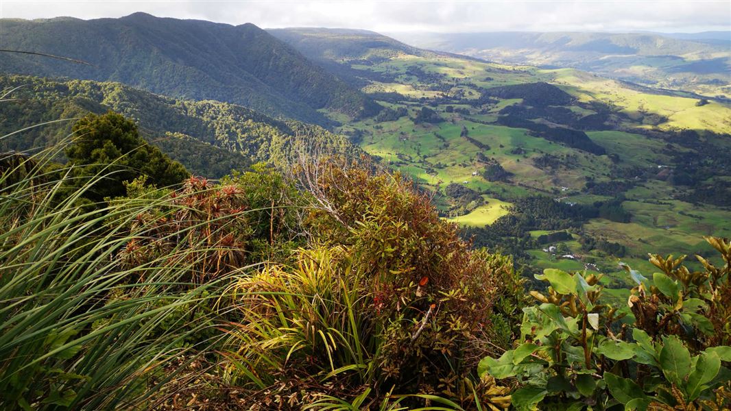
Hauturu Highpoint Track
Advanced • 4 hr one way • 5.7 km • 8.58 km away
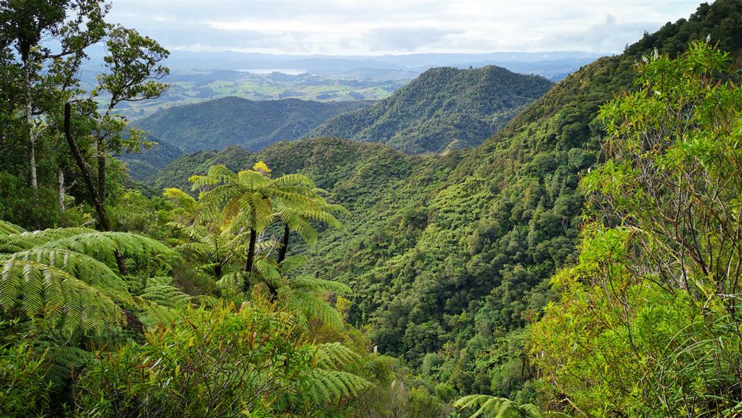
Six Foot Track
Intermediate • 1 hr 30 min one way • 3.7 km • 9.53 km away
Something missing or out of date?
Closed, moved, wrong facts, or something we have missed? Travellers keep the Road Guide up to date. Tell us what you found at contribute@parkup.nz and we will check it and add it.
Ask us to take this down
A person reads every request. We do not remove a place until we have checked it.
Sources
- DOC Tracks & Trails · CC BY 4.0Data sourced from the Department of Conservation (DOC), New Zealand.
- DOC Tracks (API) · CC BY 4.0Crown Copyright: Department of Conservation Te Papa Atawhai. Data sourced from the DOC Developer Portal (api.doc.govt.nz).