Martins Bay Track
WalkNorthlandOpen
- Grade
- Easiest
- Walking time
- 5 min
- Distance
- 290 m
- Dogs
- No dogs
Getting there
We have not checked a road end or car park for this place yet, so we do not give driving directions to it. Check how to get there before you go. Some routes cross private land and need the landowner's permission.
How to get there, on doc.govt.nzAccess to Martins Bay Track is via the Signal Station Track.
Signal Station Track starts from the Arai Te Uru Recreational Reserve carpark.
Arai Te Uru Recreational Reserve is at Hokianga Heads, 56 km west of Kaikohe. From Kaikohe, travel west along SH12 through Omapere. Take a right into Signal Station Rd. The reserve and carpark is at the end of the road.
Source: DOC Te Papa Atawhai.
Map
Map data © OpenStreetMap contributors. Topo map: LINZ, CC BY 4.0. 35.53639° S, 173.37119° E
About this place
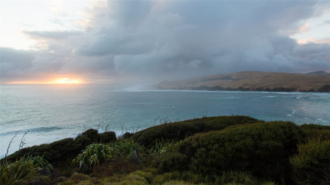
Walk along open grassy terrances and through low coastal scrub to the shoreline of the inner Hokianga Harbour.
The route
This gently graded track branches off Signal Station Track and leads down to the inner shoreline of the Hokianga Harbour. It passes through open grassy terraces and low coastal scrub including manuka, flax, coprosma, cabbage trees, and bracken. It goes past old building sites from the time when the reserve functioned as a signal station for ships entering the harbour from the Tasman Sea over the treacherous sandbar 2 km out to sea. There are expansive views of the harbour as you walk down to the beach.
Source: DOC Te Papa Atawhai.
Nearby stops
Opononi Beach Holiday Park
Northland • 3.6 km
Opononi Beach Holiday Park is a campsite located in Northland. It offers accommodation for visitors in the Opononi area.
Camping camper vans
Northland • 7.8 km

Frampton's Hut
Standard • 6 bunks • Northland • 9.6 km
Frampton's Hut is a six-bunk standard hut located in the Waimā Forest in Northland.
Toilets - non-flush • Water from tap - not treated, boil before use • Water supply
Walks nearby
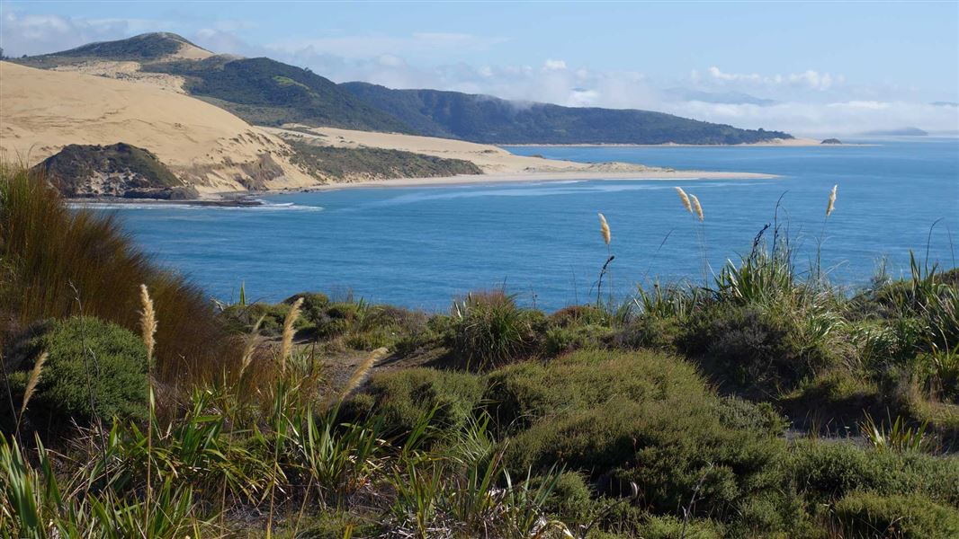
Signal Station Track
Easiest • 15 min one way • 813 m • 0.21 km away
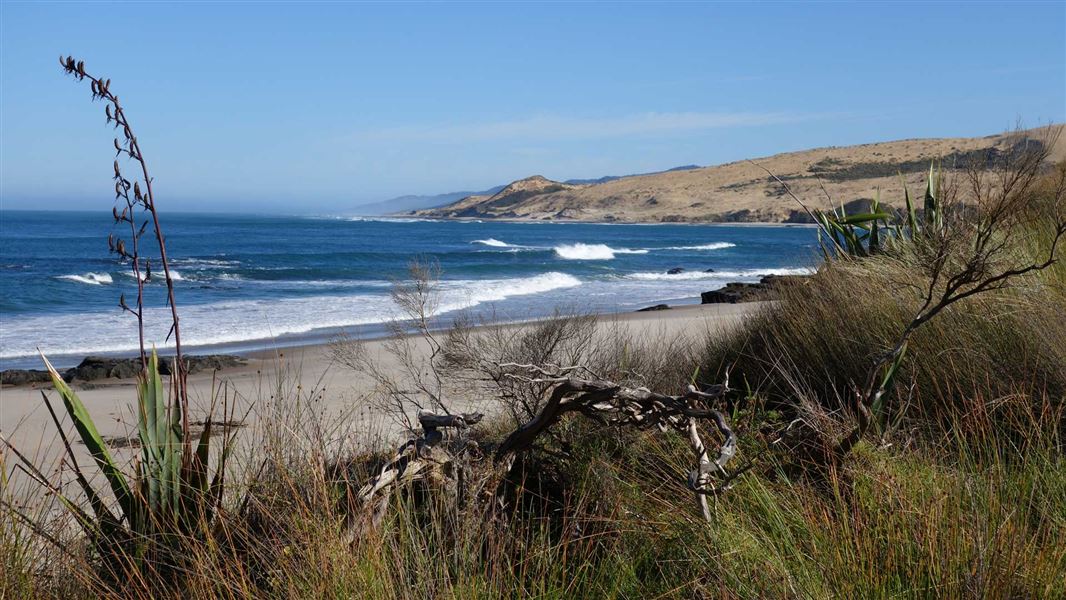
Waimamaku Coastal Track
Easy • 4 hr • 10.1 km • 3.5 km away
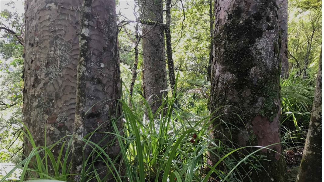
Waiotemarama Waterfall Walk
Easiest • 30 mins • 546 m to waterfall • 6.26 km away
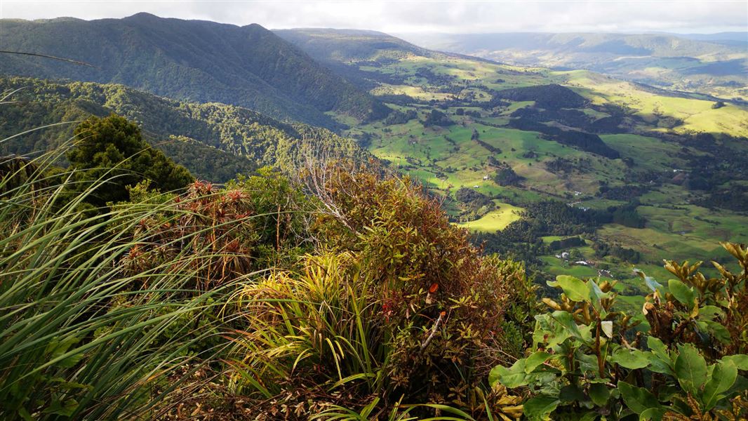
Hauturu Highpoint Track
Advanced • 4 hr one way • 5.7 km • 8.41 km away
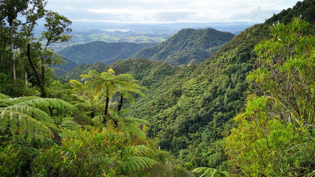
Six Foot Track
Intermediate • 1 hr 30 min one way • 3.7 km • 9.37 km away
Notes from people who have been
No notes yet. If you have been, say what you found.
Something missing or out of date?
Closed, moved, wrong facts, or something we have missed? Travellers keep the Road Guide up to date. Tell us what you found at contribute@parkup.nz and we will check it and add it.
Ask us to take this down
A person reads every request. We do not remove a place until we have checked it.
Sources
- DOC Tracks & Trails · CC BY 4.0Data sourced from the Department of Conservation (DOC), New Zealand.
- OpenStreetMap Trails · ODbL (Open Database License)Contains information from OpenStreetMap, made available under the ODbL.
- DOC Tracks (API) · CC BY 4.0Crown Copyright: Department of Conservation Te Papa Atawhai. Data sourced from the DOC Developer Portal (api.doc.govt.nz).