Six Foot Track
WalkNorthlandOpen
- Grade
- Intermediate
- Walking time
- 1 hr 30 min
- Distance
- 3.7 km
- Dogs
- DOC permit only
Getting there
We have not checked a road end or car park for this place yet, so we do not give driving directions to it. Check how to get there before you go. Some routes cross private land and need the landowner's permission.
How to get there, on doc.govt.nzFrom Opononi head east on SH12 for 4 km then turn onto Mountain Road. Continue for a further 5 km to the end of Mountain Road.
Source: DOC Te Papa Atawhai.
Map
Map data © OpenStreetMap contributors. Topo map: LINZ, CC BY 4.0. 35.51117° S, 173.47002° E
About this place
This is a walk to Framptons Hut and on to the Waimā Main Range Track.
The route
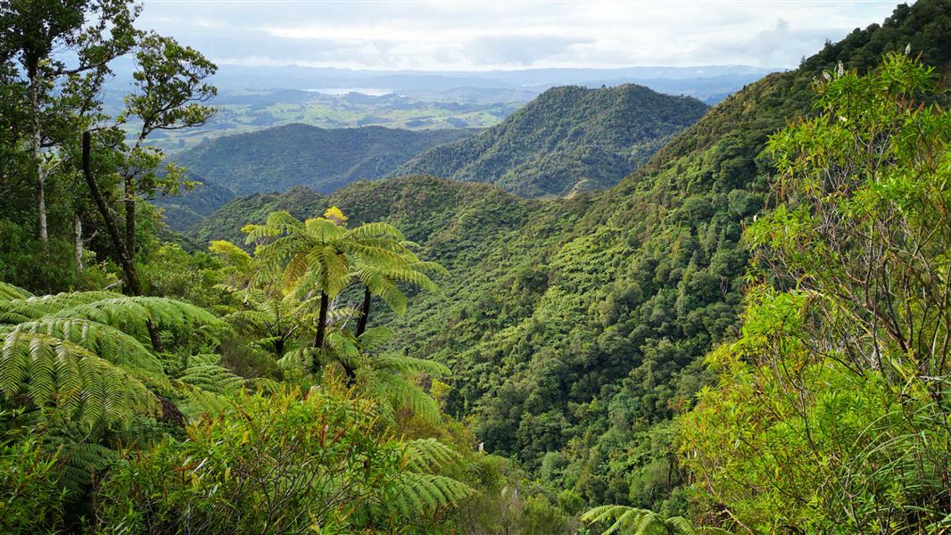
This wide, well graded track with a gentle incline leads into the Waimā Ranges. It's the easiest access to Framptons Hut. The track follows a tributary of the Whirinaki River through regenerating native vegetation. Mountain streams and small waterfalls cascade down from the ridges above into the valley below. There are some great views north across the Hokianga district. The track connects with the Waimā Main Range Track and the Hauturu Highpoint Track .
Source: DOC Te Papa Atawhai.
Know before you go
Be ready for back country track conditions
The track may be damaged with slips, flooding or fallen trees from severe weather. Be prepared to turn back if needed.
Source: DOC Te Papa Atawhai.

Nearby stops
Walks nearby
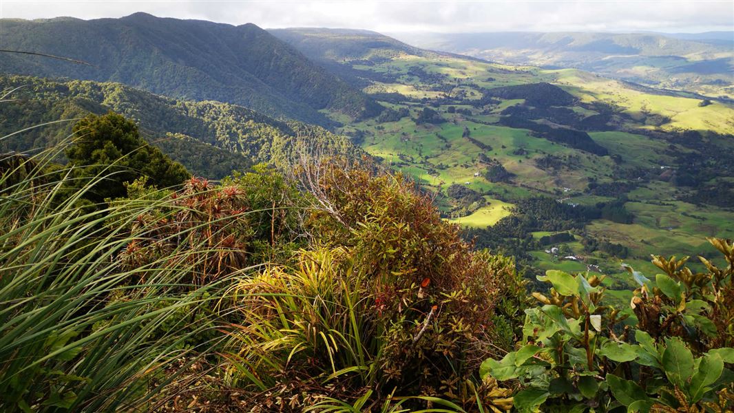
Hauturu Highpoint Track
Advanced • 4 hr one way • 5.7 km • 1.34 km away
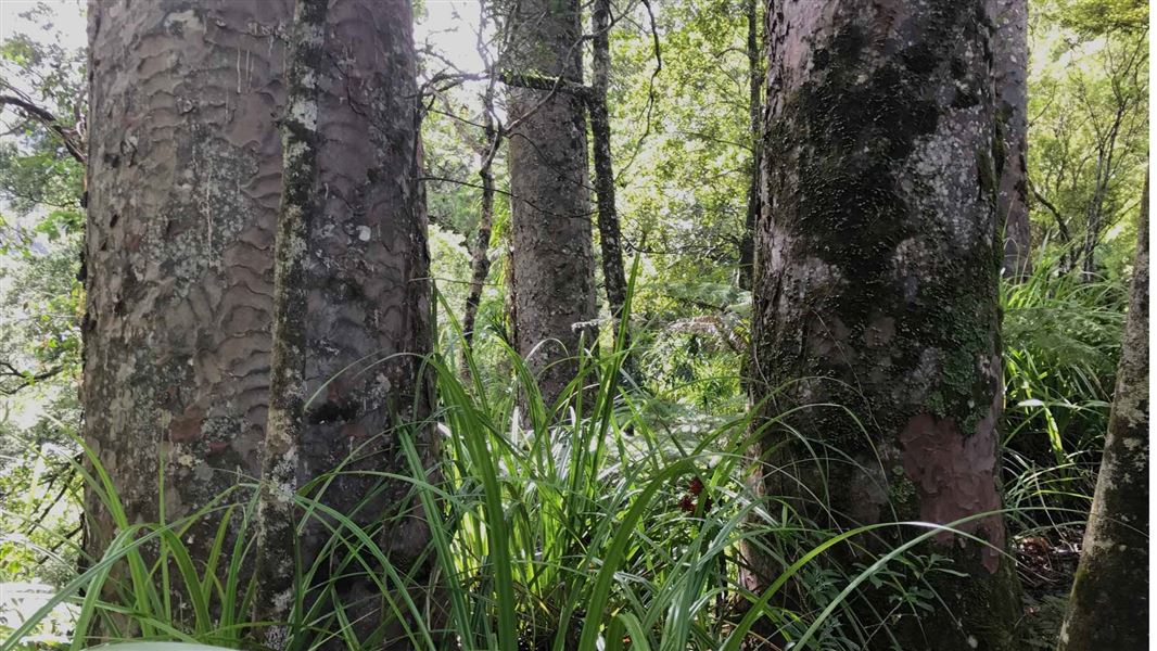
Waiotemarama Waterfall Walk
Easiest • 30 mins • 546 m to waterfall • 3.53 km away
Taita Bridle Track
Advanced • 2 hr one way • 4.6 km • 5.77 km away
Waimā Main Range Track
Advanced • 10 hr one way • 16.8 km • 6.02 km away
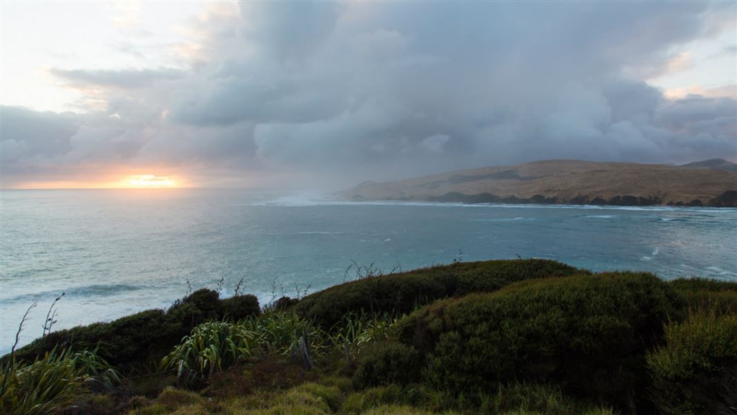
Martins Bay Track
Easiest • 5 min one way • 290 m • 9.37 km away
Notes from people who have been
No notes yet. If you have been, say what you found.
Something missing or out of date?
Closed, moved, wrong facts, or something we have missed? Travellers keep the Road Guide up to date. Tell us what you found at contribute@parkup.nz and we will check it and add it.
Ask us to take this down
A person reads every request. We do not remove a place until we have checked it.
Sources
- DOC Tracks & Trails · CC BY 4.0Data sourced from the Department of Conservation (DOC), New Zealand.
- DOC Tracks (API) · CC BY 4.0Crown Copyright: Department of Conservation Te Papa Atawhai. Data sourced from the DOC Developer Portal (api.doc.govt.nz).