Routeburn Track
WalkOtago
- Grade
- Expert
- Walking time
- 4 days
- Distance
- 33 km
- Dogs
- No dogs
Getting there
We have not checked a road end or car park for this place yet, so we do not give driving directions to it. Check how to get there before you go. Some routes cross private land and need the landowner's permission.
How to get there, on doc.govt.nzRouteburn Track can be accessed from both ends: Routeburn Shelter, 25 km from Glenorchy along a partially unsealed road, and The Divide Shelter, 85 km from Te Anau.
The road distance between each end of the track is 325 km – transport is needed at each end.
Southland NZ and Destination Queenstown have information about transport operators.
When booking transport, avoid a pick up time that requires leaving the hut or campsite before it is light enough to walk safely. Walking in the dark is unsafe. Check the daylight hours on the NIWA weather web page.
Source: DOC Te Papa Atawhai.
Map and tracks
Track lines: DOC Te Papa Atawhai. Map data © OpenStreetMap contributors. Topo map: LINZ, CC BY 4.0. 44.72841° S, 168.21824° E
About this place
Weave through meadows, reflective tarns and alpine gardens, and be rewarded with spectacular vistas over vast mountain ranges and valleys. From May to October, conditions can be challenging – only attempt if you have the skills.
The route
May to late October (winter season): Walking the track outside the Great Walks season should only be attempted if you have alpine skills, equipment and experience.
Walking options
The Routeburn Track can be walked in either direction. Most walkers take 3 days/2 nights usually staying at Routeburn Falls and Lake Mackenzie Huts. The trip can be extended by also staying at other huts, or made into a circuit by linking with the Greenstone and Caples Tracks , which starts and finishes near the Routeburn Shelter. Enjoy a day walk: Earland Falls Track | Key Summit Track | Lake Howden Track | Routeburn Nature Walk Explore on Google Street View | Watch videos
Places to stay
There are three huts and two campsites, which must be booked well in advance during the Great Walks season. Huts have bunks, mattresses, heating, toilets, basic cooking facilities, solar-powered lighting and cold running water. A DOC ranger is in residence. Huts do not have food, cooking utensils, showers or bedding. Campsites have basic facilities including toilets, sinks and a water supply. Routeburn campsites have picnic tables and cooking shelters. Campers can't use hut facilities.
Routeburn Shelter to Routeburn Flats Hut
Time: 1 hr 30 min – 2 hr 30 min
7.5 km The track begins at Routeburn Shelter, gently winding alongside the crystal-clear Route Burn (river). After passing Sugarloaf Stream, you’ll climb to Bridal Veil Waterfall and continue above the gorge. A swing bridge leads to open grassed flats, and the Routeburn Flats Hut and Campsite. Route Burn on Google Street View
Routeburn Flats Hut to Routeburn Falls Hut
Time: 1 – 1 hr 30 min
2.3 km The track climbs steadily through stunning beech forest, providing views of the Humboldt Mountains. End the day at Routeburn Falls Hut, on the edge of the bushline and close to the impressive Routeburn Falls cascade.
Routeburn Falls Hut to Lake Mackenzie Hut
Time: 4 hr 30 min – 6 hr
11.3 km Climb steadily up the valley, through wetlands and tussock-covered flats, before sidling along the bluffs above Lake Harris to reach the highest point on the track at Harris Saddle/Tarahaka Whakatipu (1,255 m). Shortly after the Harris Saddle, the track brings you to Harris Saddle Shelter (day use only). Here you can take a break from the elements and use the toilet facilities provided. The track then descends and traverses along the exposed Hollyford Face, with expansive views over the Darran Mountains. This section of the track is well-known for its impressive array of alpine plants. A steady descent leads to Lake Mackenzie Hut, set beside the enchanting Lake Mackenzie. Darren Mountains on Google Street View
Side trip: Conical Hill
Time: 1 hr 30 min – 2 hr return
A short, steep climb from the Harris Saddle up Conical Hill gives superb views of the Hollyford Valley through to Lake McKerrow and beyond to Martins Bay and the Tasman Sea. Be aware:
Mackenzie Hut to The Divide
Time: 4 – 5 hr 30 min
km Leaving Lake Mackenzie Hut the track crosses a small flat before climbing to the bush line. A gradual descent then leads past the ‘Orchard’, an open grassy area dotted with ribbonwood trees, to the impressive Earland Falls (174 m). The track continues its descent through beech forest to Lake Howden (Lake Howden Hut was destroyed by storm damage in February 2020). From Lake Howden, the well graded track climbs steadily for about 15 minutes to the Key Summit Track turn-off. From the Key Summit turn-off, the gradual downhill walk is through silver beech forest to The Divide on the Milford Highway. At 532 m, The Divide is the lowest crossing of the Southern Alps in New Zealand.
Understand if you are ready for the Routeburn Track
Watch the NZ Mountain Safety Council’s walk-through video which takes you through how to prepare for this track. Including facilities, key decision points, hazards and typical conditions for the area.
Source: DOC Te Papa Atawhai.
Know before you go
May to late October – winter season
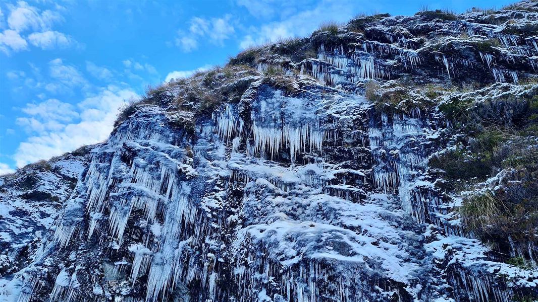
Special skills and preparation are required to complete the Routeburn Track in winter. Facilities are greatly reduced. There is increased risk from snow, ice, avalanche terrain and sub-zero temperatures.
Track not recommended for young children
Track is not recommended for children under the age of 10, due to the exposed mountainous environment and often adverse weather conditions.
There are steep drop-offs
There are steep drop-offs along sections of the whole track. The track is well marked and signposted, but some sections are steep and rough.
Weather conditions
Weather conditions can change quickly in any season. Fiordland National Park experiences very high rainfall (up to 9000 mm per year) and weather conditions can change quickly in any season. Cold temperatures, snow, strong winds and heavy rain can occur at any time of the year. Be prepared for all conditions. Check the Routeburn Track weather forecast – NIWA website .
Track flooding
After heavy rain, flooding is common on sections of the track. However, stream and river levels will drop quickly once the rain stops. If caught between streams in flood, do not attempt to cross. Turn back or wait for water levels to drop. Avalanche risk The risk of avalanche can extend into December. During the Great Walk season, DOC manages avalanche risk and sections of the track maybe closed if there is avalanche hazard. Take precautions not to spread didymo Didymo has been found at locations along the Routeburn Track, including at Potters Creek, Deadman’s Creek, and No Name Creek. These creeks are between Harris Saddle and Lake Mackenzie. All visitors should take precautions when crossing streams to avoid transporting didymo to other areas along the Routeburn Track. Use the Check, Clean Dry guidelines to ensure didymo is not spread to further pristine creeks. Do not take water from these areas and avoid filling water bottles here. More information about preventing the spread of freshwater pests in Fiordland National Park . Wasps and sandflies There are wasps and sandflies. We recommend carrying insect repellent for sandflies and your medication if you are allergic to wasp stings (such as antihistamines).
Avalanche risk
The risk of avalanche can extend into December. During the Great Walk season, DOC manages avalanche risk and sections of the track maybe closed if there is avalanche hazard.
Take precautions not to spread didymo
Didymo has been found at locations along the Routeburn Track, including at Potters Creek, Deadman’s Creek, and No Name Creek. These creeks are between Harris Saddle and Lake Mackenzie. All visitors should take precautions when crossing streams to avoid transporting didymo to other areas along the Routeburn Track. Use the Check, Clean Dry guidelines to ensure didymo is not spread to further pristine creeks. Do not take water from these areas and avoid filling water bottles here. More information about preventing the spread of freshwater pests in Fiordland National Park .
Wasps and sandflies
There are wasps and sandflies. We recommend carrying insect repellent for sandflies and your medication if you are allergic to wasp stings (such as antihistamines).
Source: DOC Te Papa Atawhai.
Joins these tracks
Source: DOC Te Papa Atawhai.
On this track
In walking order.
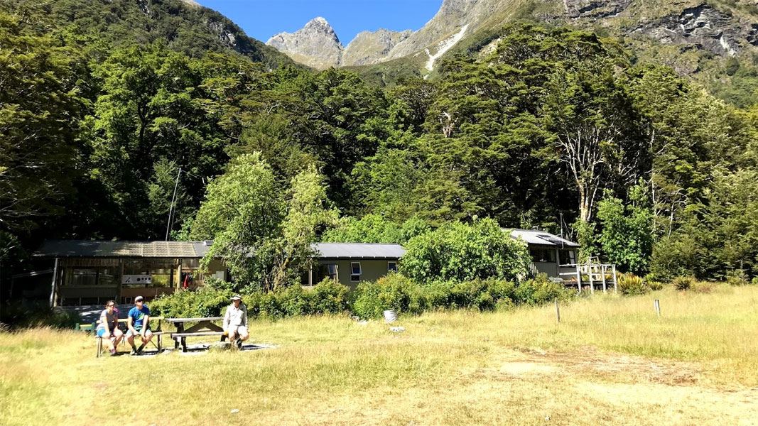
Routeburn Flats Hut
Great Walk • 20 bunks • Otago
- Toilet
- Heating
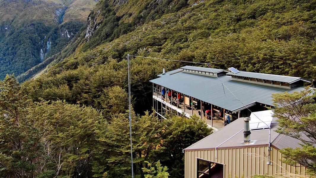
Routeburn Falls Hut
Great Walk • 48 bunks • Otago
- Toilet
- Heating
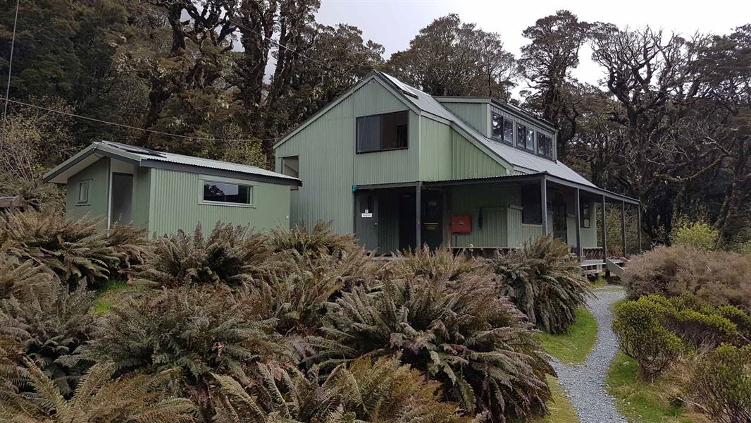
Lake Mackenzie Hut
Great Walk • 50 bunks • Southland
- Toilet
- Heating
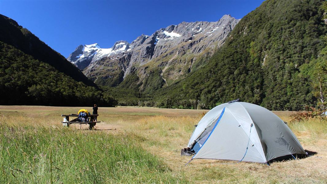
Routeburn Flats Campsite
Great Walk • Otago
- Toilet
- Water
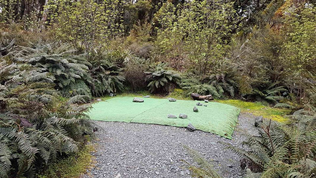
Lake Mackenzie Campsite
Great Walk • Southland
- Toilet
- Water
Nearby stops

Sylvan Campsite
Standard • Otago • 7.6 km
Sylvan Campsite is a scenic spot in the Queenstown and Wakatipu area where you can camp beside the Routeburn River. The site offers access to Lake Sylvan via a…
Non-powered/tent sites • Water from tap - not treated, boil before use • Wheelchair accessible

Kay Creek Hut
Basic/bivvies • 4 bunks • Otago • 8.2 km
Kay Creek Hut is a basic four-bunk hut located in the Queenstown/Wakatipu area of Otago.
Heating • Toilets - non-flush • Water from tap - not treated, boil before use
Chinamans Bluff carpark
Otago • 11.2 km
Chinamans Bluff carpark is on Glenorchy Paradise Road in Mount Aspiring National Park. It is for self-contained vehicles only, with a maximum stay of four…
Greenstone Saddle Campsite
Backcountry • Southland • 12.8 km
Greenstone Saddle Campsite is a campsite located on the track between the Lake Howden outlet and the Greenstone and Caples tracks.
Toilets - non-flush • Toilets

Diamond Lake Campsite
Standard • Otago • 12.9 km
Diamond Lake Campsite is located on the shores of Diamond Lake at the edge of Mt Aspiring National Park in Otago. The site is suitable for campervans and…
Water from stream • Toilets - non-flush • Toilets
Walks nearby
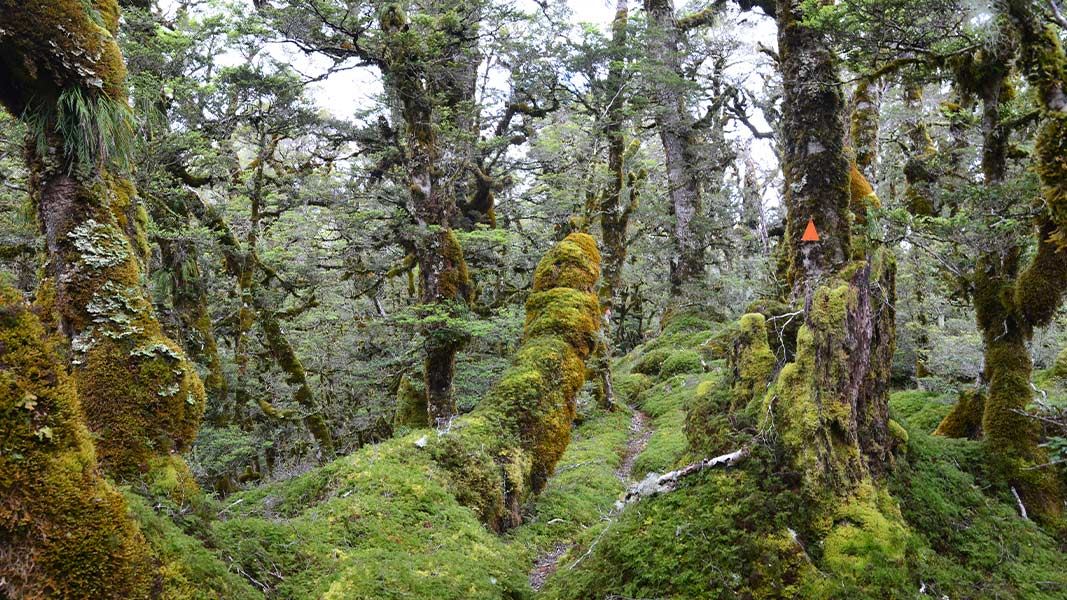
Deadmans Track
Expert • 5 hr one way • 3 km • 5.45 km away
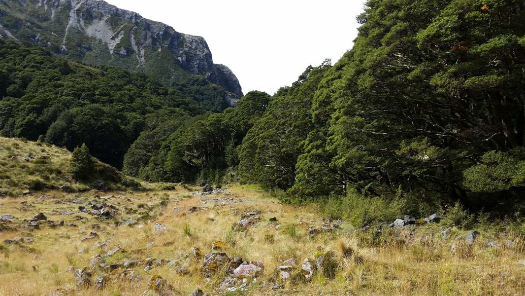
Scott Creek Track
Advanced • 5-7 hr return • 7.34 km away
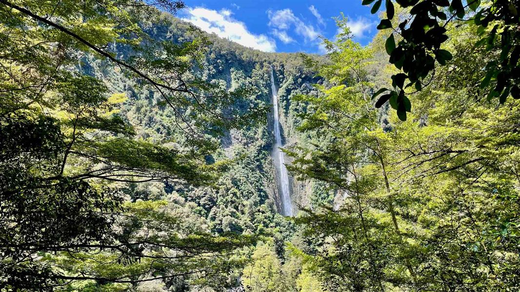
Humboldt Falls Track
Easy • 30 min • 1.2 km • 8.16 km away
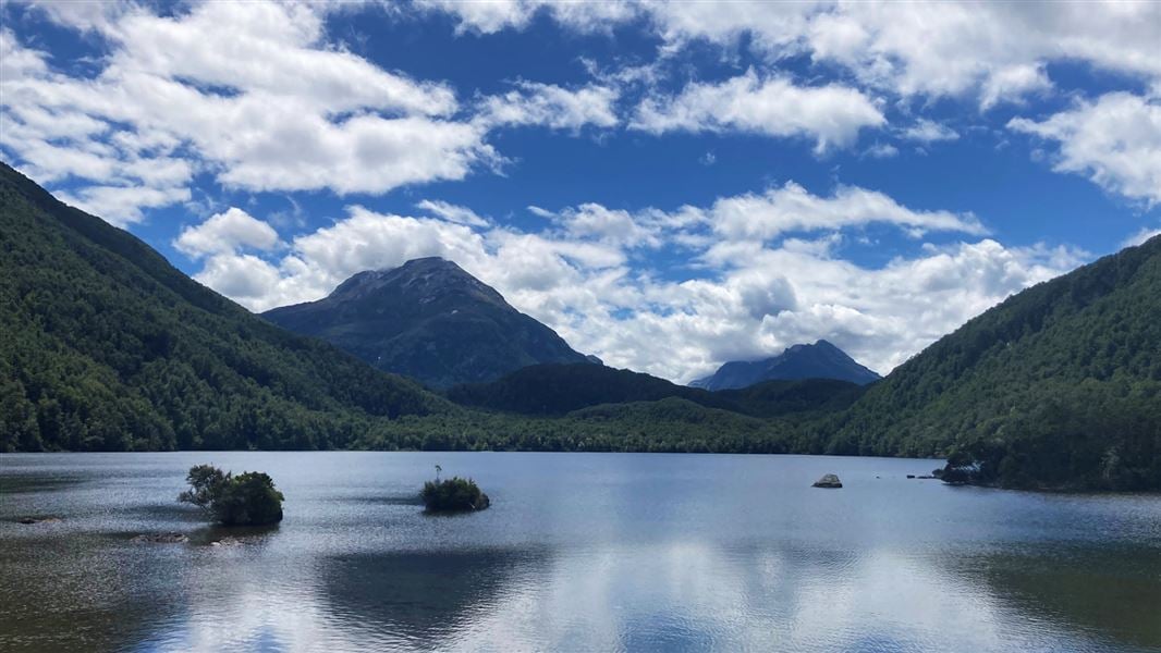
Lake Sylvan Track
Easy • 1 hr 40 min • 8.28 km away
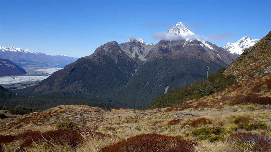
Sugarloaf/Rockburn Track
Advanced • 8-11 hr (Routeburn carpark - Lake Sylvan) • 8.31 km away
Notes from people who have been
No notes yet. If you have been, say what you found.
Something missing or out of date?
Closed, moved, wrong facts, or something we have missed? Travellers keep the Road Guide up to date. Tell us what you found at contribute@parkup.nz and we will check it and add it.
Ask us to take this down
A person reads every request. We do not remove a place until we have checked it.
Sources
- DOC Tracks (API) · CC BY 4.0Crown Copyright: Department of Conservation Te Papa Atawhai. Data sourced from the DOC Developer Portal (api.doc.govt.nz).