Deadmans Track
WalkSouthland
- Grade
- Expert
- Walking time
- 5 hr
- Distance
- 3 km
- Dogs
- No dogs
Getting there
We have not checked a road end or car park for this place yet, so we do not give driving directions to it. Check how to get there before you go. Some routes cross private land and need the landowner's permission.
How to get there, on doc.govt.nzThe track begins from the lower Hollyford Road, 2 km below Gunns Camp.
To find the Hollyford Road, turn off from the Milford Road (SH94) at Marian Corner, a few minutes towards Milford Sound from The Divide. Marian Corner is about 87 km along the Milford Road from Te Anau.
Source: DOC Te Papa Atawhai.
Map
Map data © OpenStreetMap contributors. Topo map: LINZ, CC BY 4.0. 44.74437° S, 168.15294° E
About this place
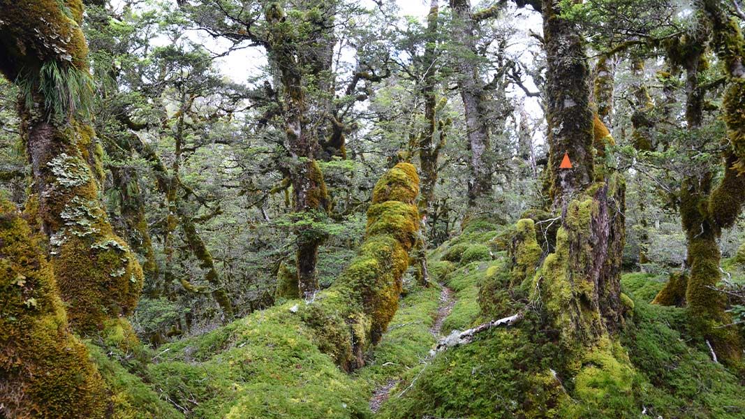
This challenging tramping route from the Hollyford Road climbs the slope to meet the Routeburn Track near Harris Saddle.
The route
This is a challenging tramping route. From the Hollyford Road the track climbs steadily to reach the Routeburn Track at a point half an hour before the Harris Saddle. There is a creek to cross, which may be impassable after heavy rain. From Hollyford Road up to the Routeburn Track takes about 5 hours. There are fantastic views back over the Hollyford Valley and Fiordland mountains.
Source: DOC Te Papa Atawhai.
Nearby stops
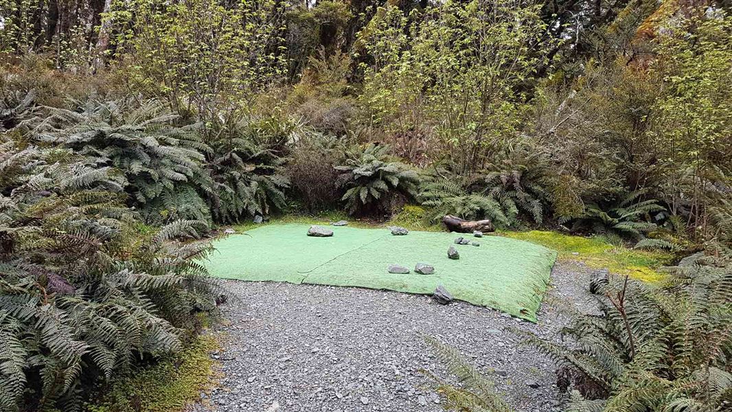
Lake Mackenzie Campsite
Great Walk • Southland • 2.9 km
Lake Mackenzie Campsite is a walk-in Great Walk campsite located on the Routeburn Track in Fiordland National Park. Bookings are required during the Great…
Non-powered/tent sites • Shelter for cooking • Water from tap - not treated, boil before use
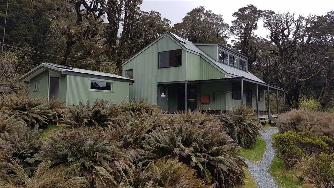
Lake Mackenzie Hut
Great Walk • 50 bunks • Southland • 3.1 km
Lake Mackenzie Hut is a 50-bunk Great Walk hut on the Routeburn Track in Fiordland. Bookings are required during the Great Walks season.
Cooking • Heating • Mattresses
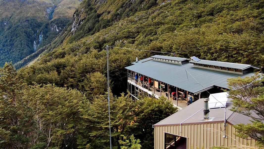
Routeburn Falls Hut
Great Walk • 48 bunks • Otago • 4.2 km
Routeburn Falls Hut is a 48 bunk Great Walk hut on the Routeburn Track in Mt Aspiring National Park. Bookings are required during the Great Walks season.
Cooking • Heating • Mattresses
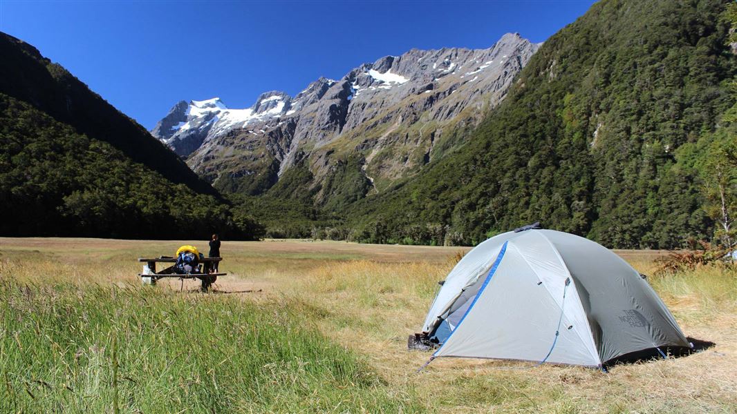
Routeburn Flats Campsite
Great Walk • Otago • 5.1 km
Routeburn Flats is a walk-in Great Walk campsite located in the Route Burn valley on the Routeburn Track in Mt Aspiring National Park. Bookings are required…
Non-powered/tent sites • Shelter for cooking • Water from tap - not treated, boil before use
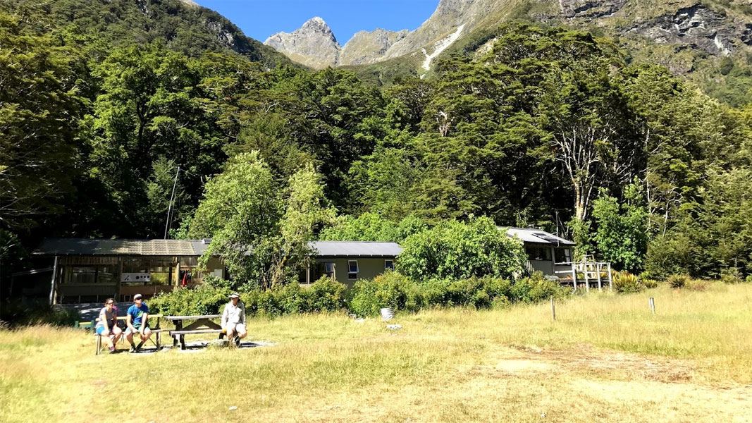
Routeburn Flats Hut
Great Walk • 20 bunks • Otago • 5.4 km
Routeburn Flats Hut is a 20 bunk Great Walk hut located on the Routeburn Track in Mt Aspiring National Park, Otago. Bookings are required during the Great…
Cooking • Heating • Mattresses
Walks nearby
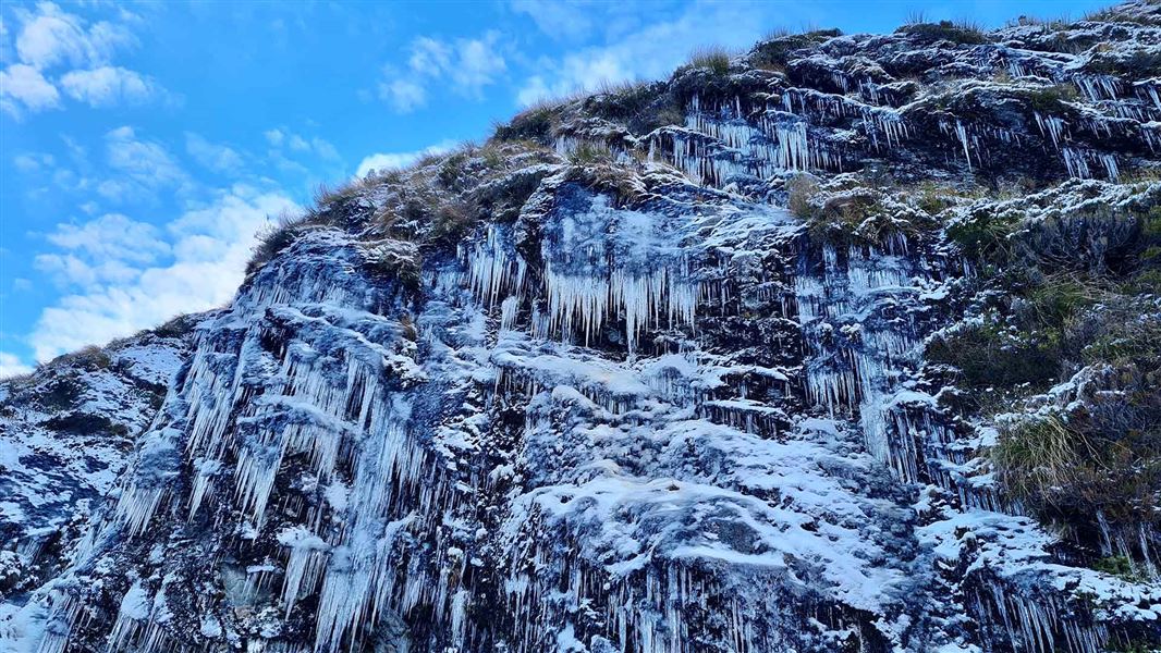
Routeburn Track
Intermediate • 2-4 days • 33 km • 5.45 km away
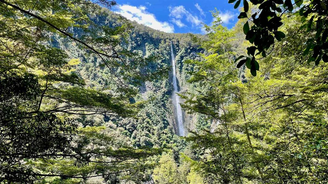
Humboldt Falls Track
Easy • 30 min • 1.2 km • 5.9 km away
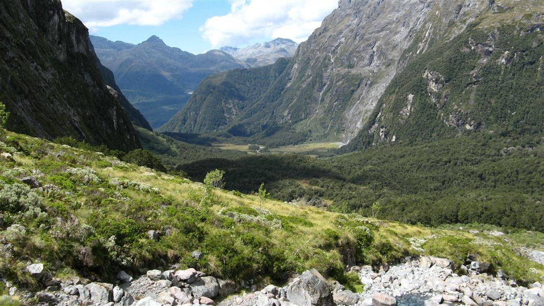
Moraine Creek Route
Expert • 7-9 hr to lake, 9-11 hr to bivvy rock • 5.5 km • 6.18 km away
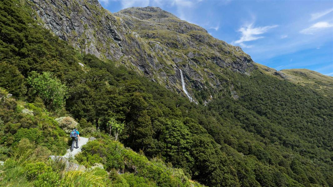
Routeburn Track: Earland Falls Track
Intermediate • 6 hr • 7.5 km • 6.45 km away
Pass Creek Track
Advanced • 4 hr • 6 km • 6.9 km away
Notes from people who have been
No notes yet. If you have been, say what you found.
Something missing or out of date?
Closed, moved, wrong facts, or something we have missed? Travellers keep the Road Guide up to date. Tell us what you found at contribute@parkup.nz and we will check it and add it.
Ask us to take this down
A person reads every request. We do not remove a place until we have checked it.
Sources
- DOC Tracks (API) · CC BY 4.0Crown Copyright: Department of Conservation Te Papa Atawhai. Data sourced from the DOC Developer Portal (api.doc.govt.nz).
- OpenStreetMap Trails · ODbL (Open Database License)Contains information from OpenStreetMap, made available under the ODbL.