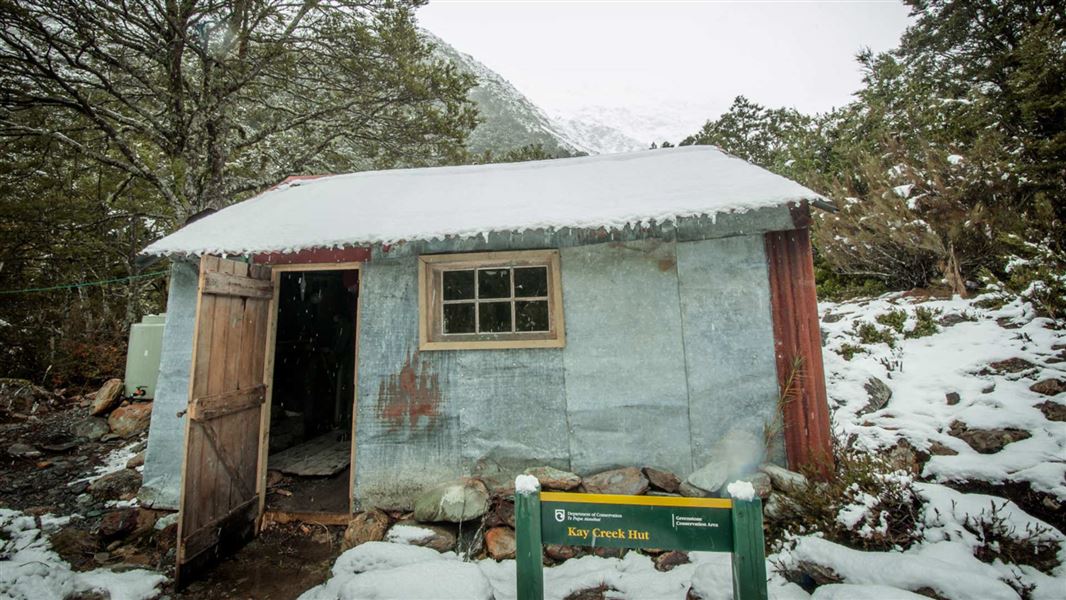
Kay Creek Hut
Basic/bivvies hutGreenstone and Caples Conservation Areas, OtagoOpen
- Sleeps
- 4 bunks
- Booking
- Not bookable
- Heating
- Yes
- Drinking water
- Boil first
- Toilet
- Non-flush
Getting there
We have not checked a road end or car park for this place yet, so we do not give driving directions to it. Check how to get there before you go. Some routes cross private land and need the landowner's permission.
How to get there, on doc.govt.nzYou can access this hut by following Kay Creek Track. This track starts from a junction between Mid Caples Hut to McKellar Hut on Greenstone and Caples Track.
Kay Creek Track is an advanced tramping track that is 6.2 km long.
- Topo map
- Topo50 sheet CB09
- Grid reference
- E1224038, N5028359
Source: DOC Te Papa Atawhai.
Map
Map data © OpenStreetMap contributors. Topo map: LINZ, CC BY 4.0. 44.79915° S, 168.24637° E
About this place
This is a basic four-bunk hut in the Queenstown/Wakatipu area.
Know before you go
Windfall on Kay Creek Track
The track to the Kay Creek hut has significant and extensive windfall. Expect longer tramping times.
Source: DOC Te Papa Atawhai.
Fees and bookings
Free
Source: DOC Te Papa Atawhai.
Nearby stops
Upper Caples Hut
12 bunks • Otago • 5.3 km
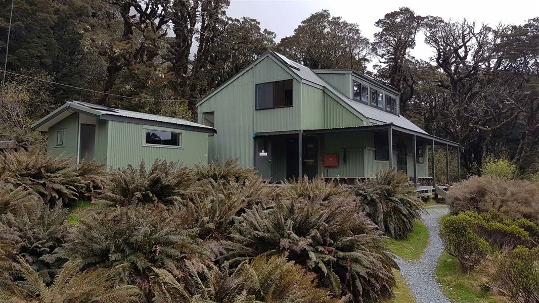
Lake Mackenzie Hut
Great Walk • 50 bunks • Southland • 6.7 km
Lake Mackenzie Hut is a 50-bunk Great Walk hut on the Routeburn Track in Fiordland. Bookings are required during the Great Walks season.
Cooking • Heating • Mattresses
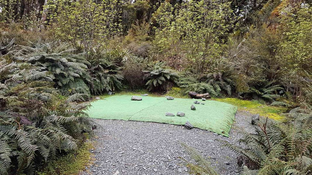
Lake Mackenzie Campsite
Great Walk • Southland • 6.8 km
Lake Mackenzie Campsite is a walk-in Great Walk campsite located on the Routeburn Track in Fiordland National Park. Bookings are required during the Great…
Non-powered/tent sites • Shelter for cooking • Water from tap - not treated, boil before use
Glacier Burn Carpark
Otago • 8.3 km
Glacier Burn Carpark is on Kinloch Road in Routeburn Scenic Reserve. It is for self-contained vehicles only, with a maximum stay of four nights per calendar…
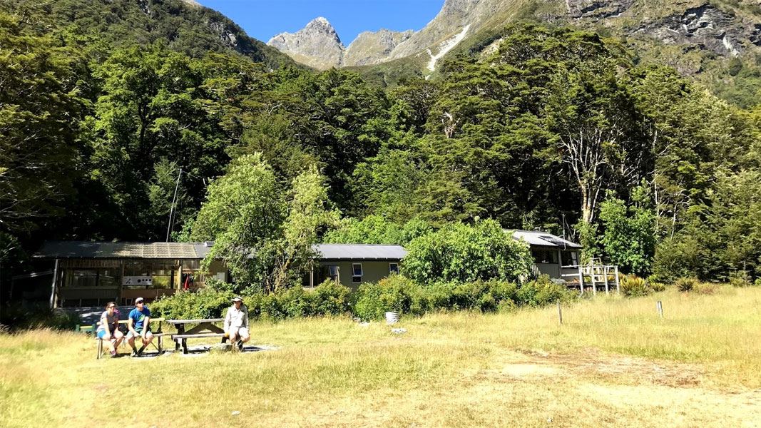
Routeburn Flats Hut
Great Walk • 20 bunks • Otago • 8.5 km
Routeburn Flats Hut is a 20 bunk Great Walk hut located on the Routeburn Track in Mt Aspiring National Park, Otago. Bookings are required during the Great…
Cooking • Heating • Mattresses
Walks nearby
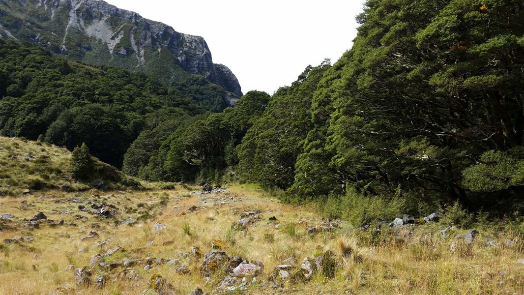
Scott Creek Track
Advanced • 5-7 hr return • 5.65 km away
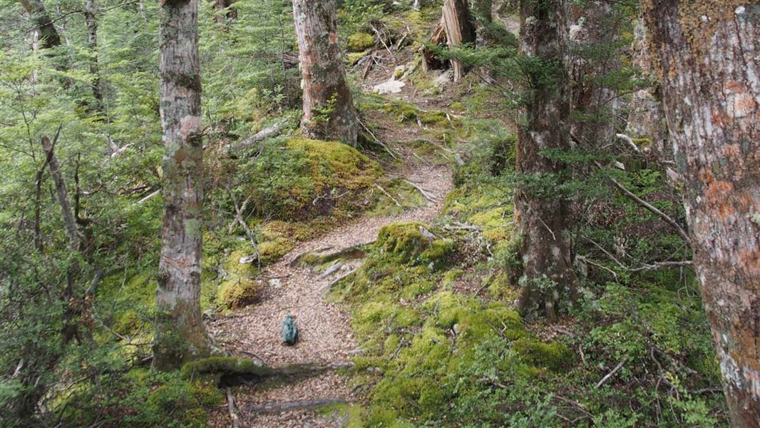
Glacier Burn Track
Advanced • 2 - 4 hr • 7.43 km away
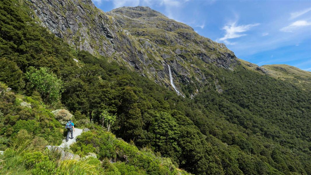
Routeburn Track: Earland Falls Track
Intermediate • 6 hr • 7.5 km • 7.84 km away
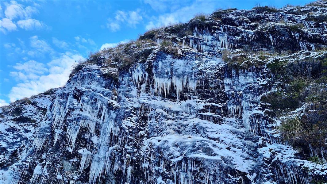
Routeburn Track
Intermediate • 2-4 days • 33 km • 8.17 km away
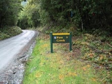
Pass Creek Track
Advanced • 4 hr • 6 km • 9.11 km away
Contact
Whakatipu-wai-Māori/Queenstown Visitor Centre
Regional DOC service centre.
Notes from people who have been
No notes yet. If you have been, say what you found.
Something missing or out of date?
Closed, moved, wrong facts, or something we have missed? Travellers keep the Road Guide up to date. Tell us what you found at contribute@parkup.nz and we will check it and add it.
Ask us to take this down
A person reads every request. We do not remove a place until we have checked it.
Sources
- DOC Huts (API) · CC BY 4.0Crown Copyright: Department of Conservation Te Papa Atawhai. Data sourced from the DOC Developer Portal (api.doc.govt.nz).
- DOC Huts · CC BY 4.0Data sourced from the Department of Conservation (DOC), New Zealand.
- OpenStreetMap Huts · ODbL (Open Database License)Contains information from OpenStreetMap, made available under the ODbL.