Glacier Burn Track
WalkOtago
- Grade
- Advanced
- Walking time
- 4 hr
- Dogs
- No dogs
Getting there
We have not checked a road end or car park for this place yet, so we do not give driving directions to it. Check how to get there before you go. Some routes cross private land and need the landowner's permission.
How to get there, on doc.govt.nz25 minutes from Glenorchy, the track is signposted from the Glenorchy / Kinloch Road.
Source: DOC Te Papa Atawhai.
Map
Map data © OpenStreetMap contributors. Topo map: LINZ, CC BY 4.0. 44.82441° S, 168.33360° E
About this place
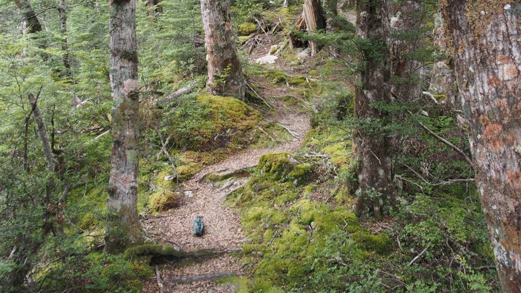
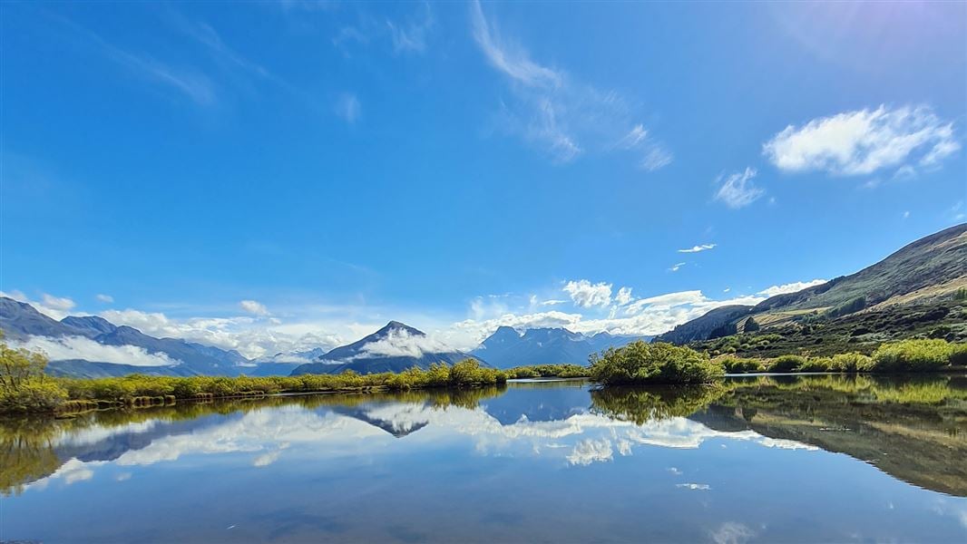
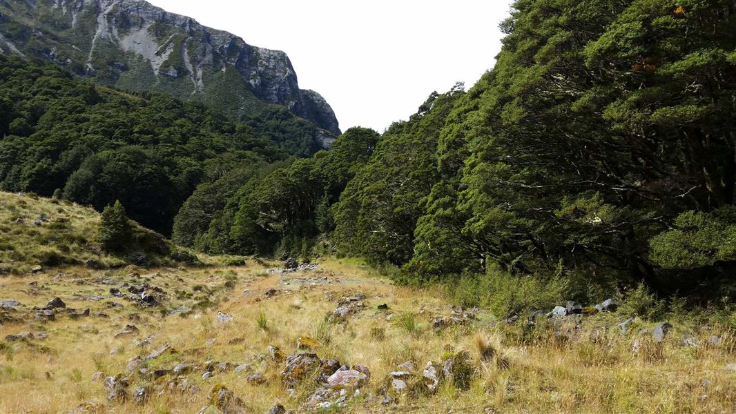
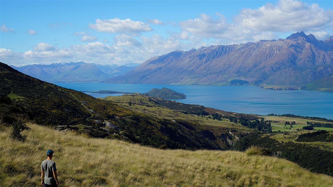
At Glacier Burn you'll climb through beech forest to Glacier Basin. Follow the creek beyond to view the Humboldt Mountains.
The route
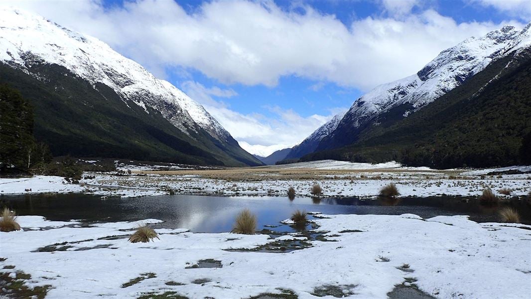
Follow the creek until the marker shows where to cross to the true left (looking downstream) and start climbing through beech forest. You can see old saw-milling snig lines near the start of the track. After two hours you will be in Glacier Basin, where you can follow the creek further up to view the Humboldt Mountains. Great bird life.
Source: DOC Te Papa Atawhai.
Nearby stops
Glacier Burn Carpark
Otago • 1.3 km
Glacier Burn Carpark is on Kinloch Road in Routeburn Scenic Reserve. It is for self-contained vehicles only, with a maximum stay of four nights per calendar…

Kinloch Campsite
Standard • Otago • 2.5 km
Kinloch Campsite is located on the shores of Lake Wakatipu in Otago. The area offers access to the Caples and Greenstone tramping tracks, as well as…
Boat launching • Jetty • Non-powered/tent sites
Mrs. Woolly's Campground
Otago • 5.3 km
Mrs. Woolly's Campground is a campsite located in the Otago region of New Zealand. The provided records do not include details about specific facilities or…

Kay Creek Hut
Basic/bivvies • 4 bunks • Otago • 7.4 km
Kay Creek Hut is a basic four-bunk hut located in the Queenstown/Wakatipu area of Otago.
Heating • Toilets - non-flush • Water from tap - not treated, boil before use
Perfect camping spot
Otago • 8.5 km
Perfect camping spot is a campsite located in the Otago region. The provided data does not include further details about its specific facilities or location.
Walks nearby
Notes from people who have been
No notes yet. If you have been, say what you found.
Something missing or out of date?
Closed, moved, wrong facts, or something we have missed? Travellers keep the Road Guide up to date. Tell us what you found at contribute@parkup.nz and we will check it and add it.
Ask us to take this down
A person reads every request. We do not remove a place until we have checked it.
Sources
- DOC Tracks (API) · CC BY 4.0Crown Copyright: Department of Conservation Te Papa Atawhai. Data sourced from the DOC Developer Portal (api.doc.govt.nz).