Diamond Creek Walk
WalkOtagoOpen
- Grade
- Easy
- Walking time
- 45 min
- Distance
- 2.7 km
- Route
- Return
- Dogs
- On a lead
Getting there
We have not checked a road end or car park for this place yet, so we do not give driving directions to it. Check how to get there before you go. Some routes cross private land and need the landowner's permission.
How to get there, on doc.govt.nz15 minutes from Glenorchy on the Glenorchy - Routeburn Road.
Source: DOC Te Papa Atawhai.
Map
Map data © OpenStreetMap contributors. Topo map: LINZ, CC BY 4.0. 44.77585° S, 168.38946° E
About this place
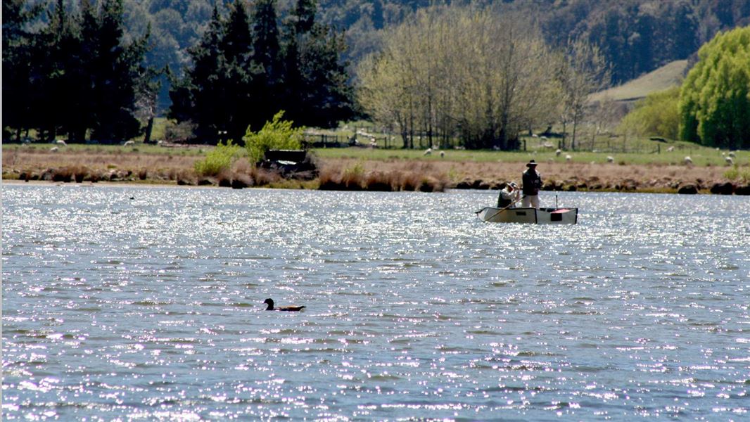
The track at Diamond Creek follows the true left bank of the creek to Lake Reid.
The route
Following the true left bank (looking downstream) of Diamond Creek, a popular trout fishing stream, this sometimes boggy track to Lake Reid gives excellent opportunities for viewing waterfowl and views up to Paradise and the Dart Valley.
Source: DOC Te Papa Atawhai.
Nearby stops
Diamond Lake, Glenorchy
Otago • 4.4 km
Diamond Lake Campsite is on Glenorchy Paradise Road, 17 km from Glenorchy. It has 10 sites for campervans and caravans, with a maximum of 50 people.

Diamond Lake Campsite
Standard • Otago • 4.9 km
Diamond Lake Campsite is located on the shores of Diamond Lake at the edge of Mt Aspiring National Park in Otago. The site is suitable for campervans and…
Water from stream • Toilets - non-flush • Toilets
Glacier Burn Carpark
Otago • 5.8 km
Glacier Burn Carpark is on Kinloch Road in Routeburn Scenic Reserve. It is for self-contained vehicles only, with a maximum stay of four nights per calendar…

McIntosh Hut
Basic/bivvies • 4 bunks • Otago • 8.1 km
McIntosh Hut is a basic hut in the Queenstown/Wakatipu area of Otago.
McIntyre Hut
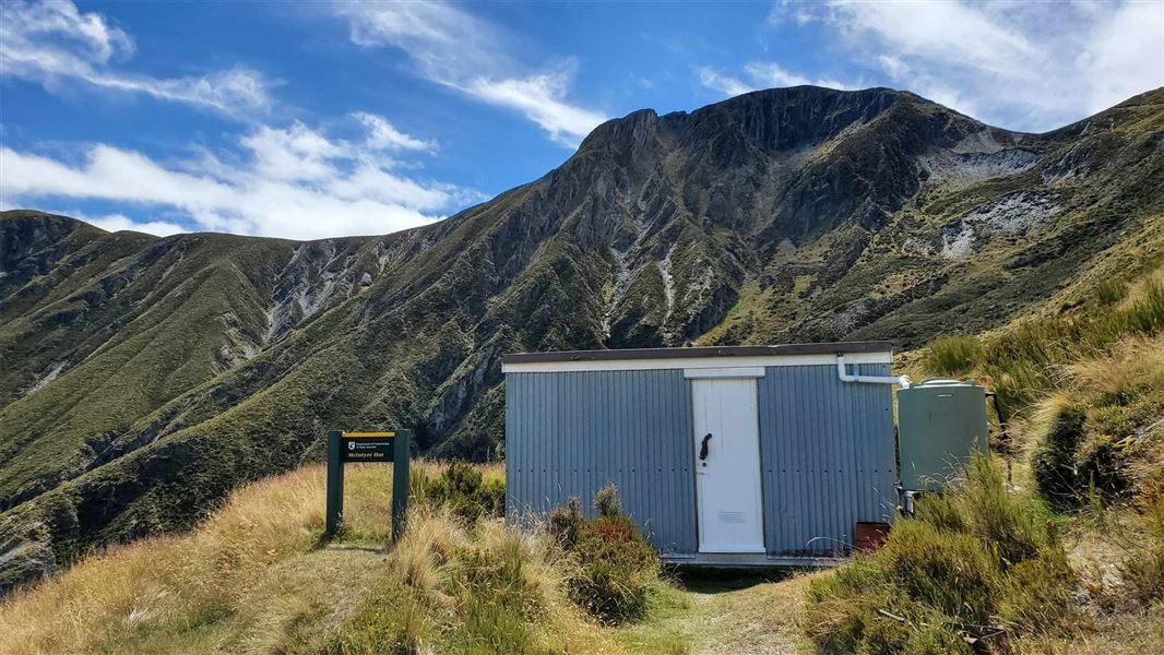
Standard • 5 bunks • Otago • 8.1 km
McIntyre Hut is a five-bunk hut located in the Queenstown/Wakatipu area of Otago.
Mattresses • Toilets - non-flush • Water from tap - not treated, boil before use
Walks nearby
Glacier Burn Track
Advanced • 2 - 4 hr • 6.97 km away
Scott Creek Track
Advanced • 5-7 hr return • 7.42 km away
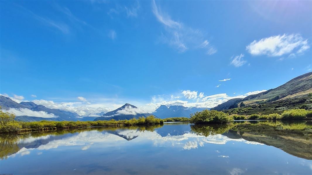
Glenorchy Walkway
Easy • 1 - 2 hr • 7.54 km away
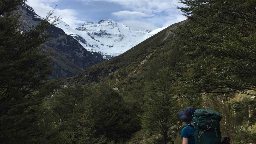
Earnslaw Burn Track
Advanced • 4 to 6 hrs one way to the viewpoint • 8.3 km • 7.81 km away
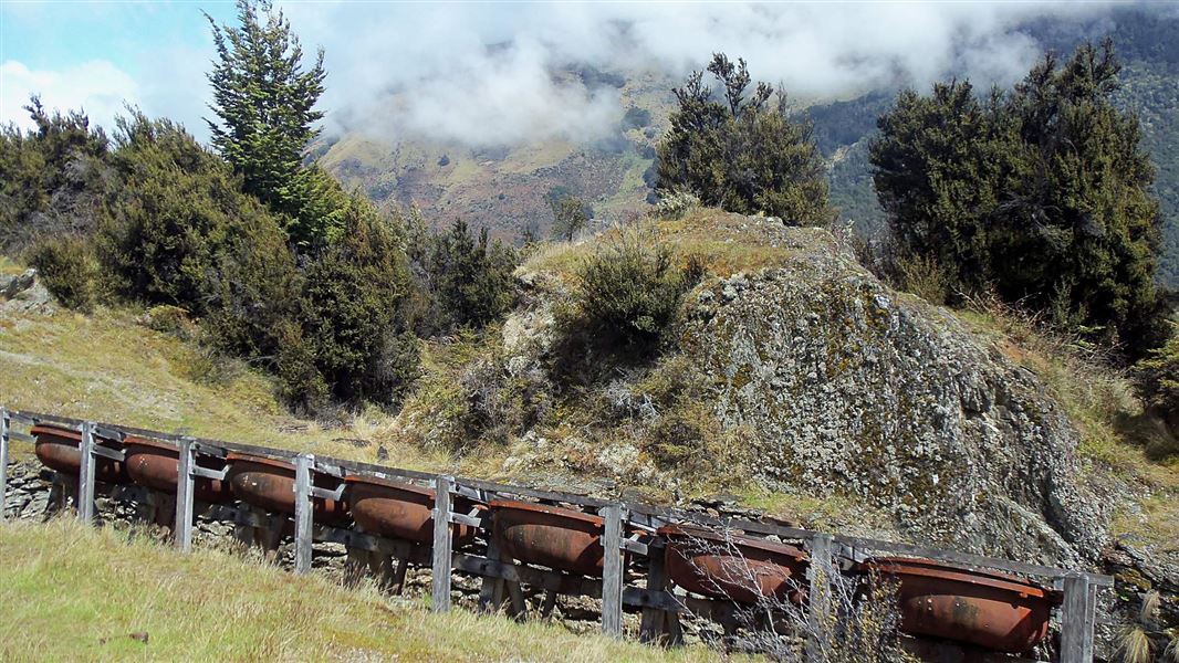
Invincible Mine Track
Easy • 3 hr return via same track • 4.5 km • 7.98 km away
Notes from people who have been
No notes yet. If you have been, say what you found.
Something missing or out of date?
Closed, moved, wrong facts, or something we have missed? Travellers keep the Road Guide up to date. Tell us what you found at contribute@parkup.nz and we will check it and add it.
Ask us to take this down
A person reads every request. We do not remove a place until we have checked it.
Sources
- DOC Tracks (API) · CC BY 4.0Crown Copyright: Department of Conservation Te Papa Atawhai. Data sourced from the DOC Developer Portal (api.doc.govt.nz).
- DOC Tracks & Trails · CC BY 4.0Data sourced from the Department of Conservation (DOC), New Zealand.