Earnslaw Burn Track
WalkOtago
- Grade
- Advanced
- Walking time
- 6 hr
- Distance
- 8.3 km
- Dogs
- No dogs
Access: read before you go
Camping is allowed on the public conservation land at the forest edge or Rock bivvy. Camping is not allowed on the private land in the upper valley. No fires allowed.
Source: DOC Te Papa Atawhai.
Getting there
We have not checked a road end or car park for this place yet, so we do not give driving directions to it. Check how to get there before you go. Some routes cross private land and need the landowner's permission.
How to get there, on doc.govt.nzThe track starts on the true left bank of the Earnslaw Burn partway along Lovers Leap Road, a right turn off the gravelled Glenorchy - Paradise Road, 20 minutes from Glenorchy.
Source: DOC Te Papa Atawhai.
Map
Map data © OpenStreetMap contributors. Topo map: LINZ, CC BY 4.0. 44.71091° S, 168.42730° E
About this place
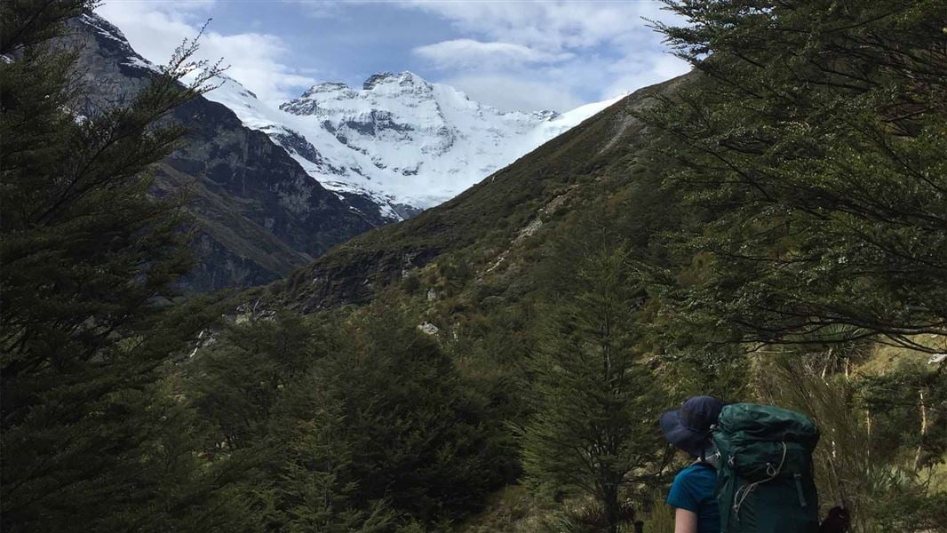
Follow Earnslaw Burn through bush to the tussock basin at the head of this valley for impressive views of an icefall on Mt Earnslaw/Pikirakatahi.
The route
Follow the rough and technical Earnslaw Burn Track through the bush to a viewpoint. This viewpoint has impressive views of an icefall on Mt Earnslaw/Pikirakatahi at the edge of the forest where the track ends. For shelter an overhanging rock is just within the forest on the true right, looking downstream, of Earnslaw Burn. River crossing and route finding experience is essential. There is also windfall and slips along the track that you need to get over. How to cross a river safely . The DOC track ends at the forest edge and there is no marked DOC track beyond this point. DOC does not manage any hazards off the track or up the valley. The area is overgrown with speargrass. Anything beyond the end of the DOC track is not included in the track time of 4-6 hours (one way). The waterfalls are an additional 1-hour walk (one way) further up the valley.
Source: DOC Te Papa Atawhai.
Know before you go
Camping
Camping is allowed on the public conservation land at the forest edge or Rock bivvy. Camping is not allowed on the private land in the upper valley. No fires allowed.
Be prepared
Earnslaw Burn Track does not have any toilet facilities, plan accordingly.
Hazards
This area is subject to severe weather events, flooding, frost/snow and extremes of temperature. This is a challenging track which is not recommended for young children. This track is difficult to find in places – you will need strong track finding skills There can be extensive windfall along this track which may slow your progress Numerous slips along Earnslaw Burn Track. Expect longer walking times. The river crossing to get to the bivvy is dangerous in heavy rain There is no toilet on the track. What to do if there's no toilet. There is no mobile phone coverage in this area.
Completing the track in a day
If plan to complete the Earnslaw Burn track in a day, you need to consider: day light hours – check NIWA Weather: Harris Saddle for sunrise and sunset times whether you have the necessary fitness and navigation skills bringing a communication devices (PLB). It is a very long day walk. When tiredness and darkness set in, navigation is difficult.
Alternative hikes
If you do not have the necessary experience, fitness or gear, consider walking day walk tracks instead: Lake Sylvan Track Routeburn Nature Walk If you have the fitness and gear, consider hiking this track instead: Mt Judah/Heather Jock Tracks Sugarloaf/Rockburn Track
Stay safe when crossing rivers and streams
If you plan to cross unbridged rivers or side streams, know how to cross safely and be prepared for if you cannot cross. Do not cross if the river or stream is flooded, you cannot find safe entry and exit points or are unsure it’s safe. Turn back or wait for the river to drop. If in doubt, stay out. How to cross rivers safely NIWA river flow forecasts: View a video of national followed by regional river flows
Source: DOC Te Papa Atawhai.
Nearby stops
Diamond Lake, Glenorchy
Otago • 3.9 km
Diamond Lake Campsite is on Glenorchy Paradise Road, 17 km from Glenorchy. It has 10 sites for campervans and caravans, with a maximum of 50 people.
Rock bivouac
Otago • 4 km
Rock bivouac is a campsite located in the Otago region. The available records provide no further details regarding facilities or specific amenities at this…

Diamond Lake Campsite
Standard • Otago • 4.3 km
Diamond Lake Campsite is located on the shores of Diamond Lake at the edge of Mt Aspiring National Park in Otago. The site is suitable for campervans and…
Water from stream • Toilets - non-flush • Toilets
Twenty Five Mile Hut (dismantled)
Otago • 8.5 km
Twenty Five Mile Hut was a hut located in the Otago region. The structure has since been dismantled and is no longer available for use.

Sylvan Campsite
Standard • Otago • 9.1 km
Sylvan Campsite is a scenic spot in the Queenstown and Wakatipu area where you can camp beside the Routeburn River. The site offers access to Lake Sylvan via a…
Non-powered/tent sites • Water from tap - not treated, boil before use • Wheelchair accessible
Walks nearby
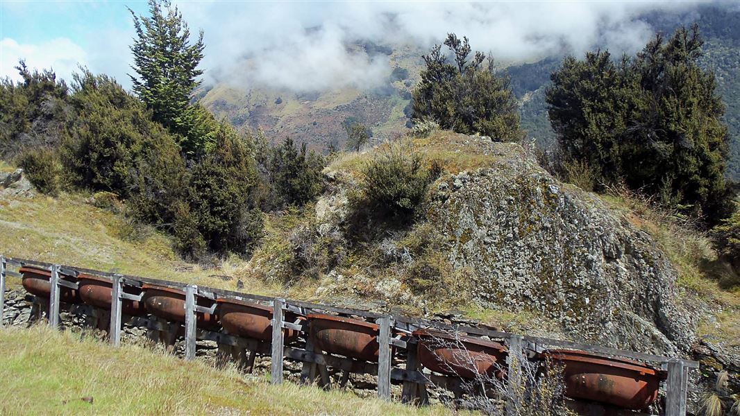
Invincible Mine Track
Easy • 3 hr return via same track • 4.5 km • 3.44 km away
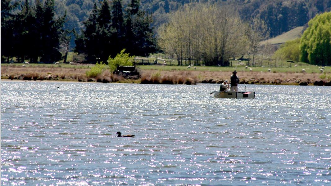
Diamond Creek Walk
Easy • 45 min one way • 2.7 km • 7.81 km away
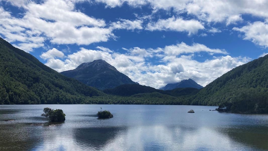
Lake Sylvan Track
Easy • 1 hr 40 min • 8.4 km away
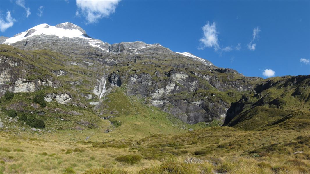
Kea Basin Track
Advanced • 8 - 10 hr return • 9.87 km away
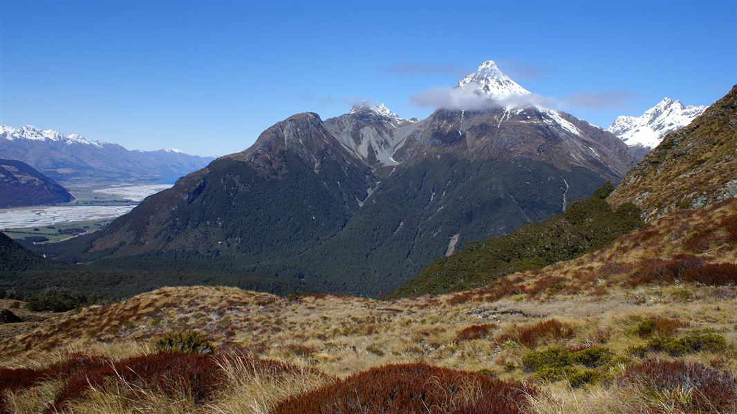
Sugarloaf/Rockburn Track
Advanced • 8-11 hr (Routeburn carpark - Lake Sylvan) • 11.01 km away
Notes from people who have been
No notes yet. If you have been, say what you found.
Something missing or out of date?
Closed, moved, wrong facts, or something we have missed? Travellers keep the Road Guide up to date. Tell us what you found at contribute@parkup.nz and we will check it and add it.
Ask us to take this down
A person reads every request. We do not remove a place until we have checked it.
Sources
- DOC Tracks (API) · CC BY 4.0Crown Copyright: Department of Conservation Te Papa Atawhai. Data sourced from the DOC Developer Portal (api.doc.govt.nz).