Rokeby Hut
Basic/bivvies hutSt James Conservation Area, CanterburyOpen
- Sleeps
- 3 bunks
- Booking
- Not bookable
- Cost
- Free
- Heating
- None
- Drinking water
- Not drinkable
- Toilet
- Non-flush
Getting there
We have not checked a road end or car park for this place yet, so we do not give driving directions to it. Check how to get there before you go. Some routes cross private land and need the landowner's permission.
How to get there, on doc.govt.nz- Topo map
- Topo50 sheet BT23
Source: DOC Te Papa Atawhai.
Map and tracks
Track lines: DOC Te Papa Atawhai. Map data © OpenStreetMap contributors. Topo map: LINZ, CC BY 4.0. 42.43361° S, 172.46345° E
About this place
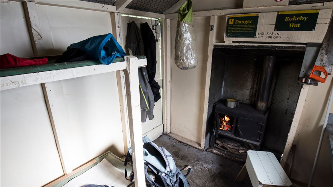
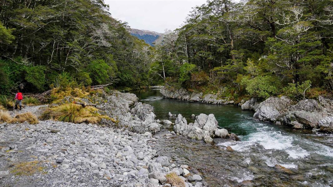
This is a basic three-bunk hut in the St James Conservation Area.
On the way here
St James Walkway · 5 days
Places to stay
Huts: There are five Serviced huts on the walkway: Cannibal Gorge, Ada Pass, Christopher, Anne and Boyle Flat huts. Trampers can also stay in Magdalen and Rokeby huts. Camping: Trampers can also camp anywhere along the St James Walkway. If camping outside a hut the fees to camp are equivalent to one level below the hut pricing. This means camping outside serviced huts requires payment of one standard hut ticket per person, camping outside standard huts is free. Campers are encouraged to use the hut toilet facilities.
Anne Hut - Boyle Flat Hut
Time: 7 hr 30 min
km The track crosses a footbridge over the Anne River to gain access to the true left, and 2 km upriver it crosses another footbridge back to the true right. The track continues up and over the Anne Saddle into the Boyle Valley. Orange pole markers indicate the route over the Boyle Flats, past the basic Rokeby Hut. The true left bank is followed to a suspension bridge over the Boyle River, 100 metres from the Boyle Flat Hut.
Source: DOC Te Papa Atawhai.
Nearby stops
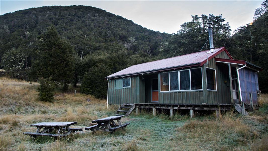
Boyle Flat Hut
Serviced • 12 bunks • Canterbury • 3.7 km
Boyle Flat Hut is a serviced 12-bunk hut located in the St James Conservation Area in Canterbury.
Heating • Mattresses • Toilets - non-flush

Magdalen Hut
Standard • 6 bunks • Canterbury • 7.1 km
Magdalen Hut is a standard five-bunk hut located in the North Canterbury and Arthur's Pass area. It provides basic accommodation for hikers in the Canterbury…
Heating • Mattresses • Toilets - non-flush
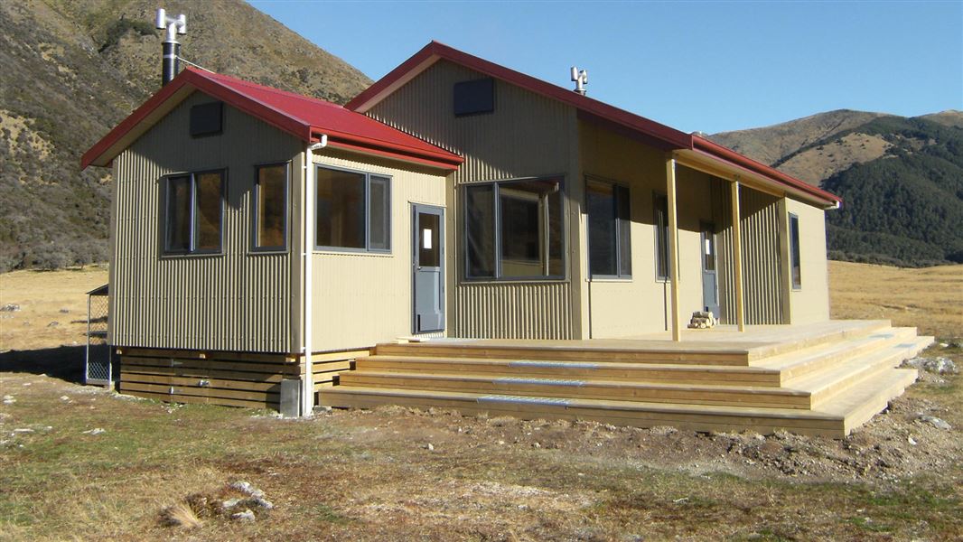
Anne Hut
Serviced • 20 bunks • Canterbury • 10.6 km
Anne Hut is a serviced 20-bunk hut located in the St James Conservation Area in Canterbury.
Heating • Mattresses • Toilets - non-flush
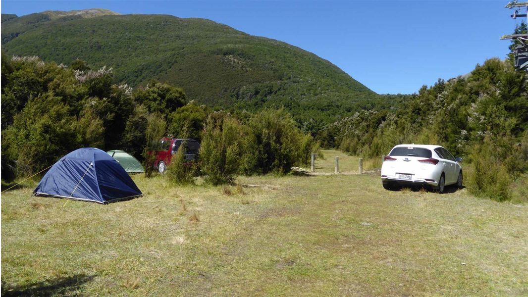
Boyle Campsite
Standard • Canterbury • 11.2 km
Boyle Campsite is a campsite in Canterbury, set within kānuka forest just off State Highway 7 between Hanmer Springs and Lewis Pass. It lies on the Te Araroa…
Non-powered/tent sites • Water from tap - not treated, boil before use • Wheelchair accessible with assistance
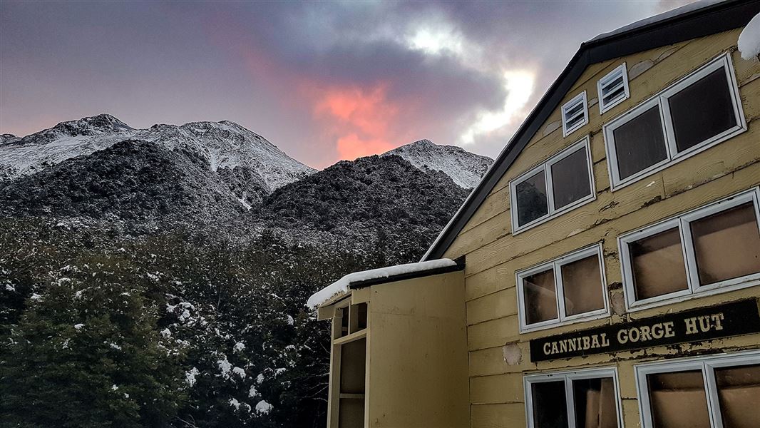
Cannibal Gorge Hut
Serviced • 20 bunks • West Coast • 12.2 km
Cannibal Gorge Hut is a serviced 20-bunk hut located in the Greymouth area of the West Coast.
Heating • Mattresses • Toilets - non-flush
Walks nearby
Contact
Arthur's Pass National Park Visitor Centre
104 West Coast Road, Arthur's Pass 7654
Regional DOC service centre.
Notes from people who have been
No notes yet. If you have been, say what you found.
Something missing or out of date?
Closed, moved, wrong facts, or something we have missed? Travellers keep the Road Guide up to date. Tell us what you found at contribute@parkup.nz and we will check it and add it.
Ask us to take this down
A person reads every request. We do not remove a place until we have checked it.
Sources
- DOC Huts · CC BY 4.0Data sourced from the Department of Conservation (DOC), New Zealand.
- DOC Huts (API) · CC BY 4.0Crown Copyright: Department of Conservation Te Papa Atawhai. Data sourced from the DOC Developer Portal (api.doc.govt.nz).
- OpenStreetMap Huts · ODbL (Open Database License)Contains information from OpenStreetMap, made available under the ODbL.