Magdalen Hut
Standard hutSt James Conservation Area, CanterburyOpen
- Sleeps
- 6 bunks
- Booking
- Can book
- Cost
- from $15
- Heating
- Yes
- Drinking water
- Boil first
- Toilet
- Non-flush
Getting there
We have not checked a road end or car park for this place yet, so we do not give driving directions to it. Check how to get there before you go. Some routes cross private land and need the landowner's permission.
How to get there, on doc.govt.nz11.5 km (4 hours walk) from the Boyle River Outdoor Education Centre. The centre offers a car parking and shuttle service,
Follow the St James Walkway up the valley, this is the opposite direction from those walking the complete walkway.
The track is in good condition, wide and easily followed.
You can also stay in this hut at the end of your St James Walkway trip.
- Topo map
- Topo50 sheet BU23
Source: DOC Te Papa Atawhai.
Map and tracks
Track lines: DOC Te Papa Atawhai. Map data © OpenStreetMap contributors. Topo map: LINZ, CC BY 4.0. 42.49729° S, 172.47489° E
About this place
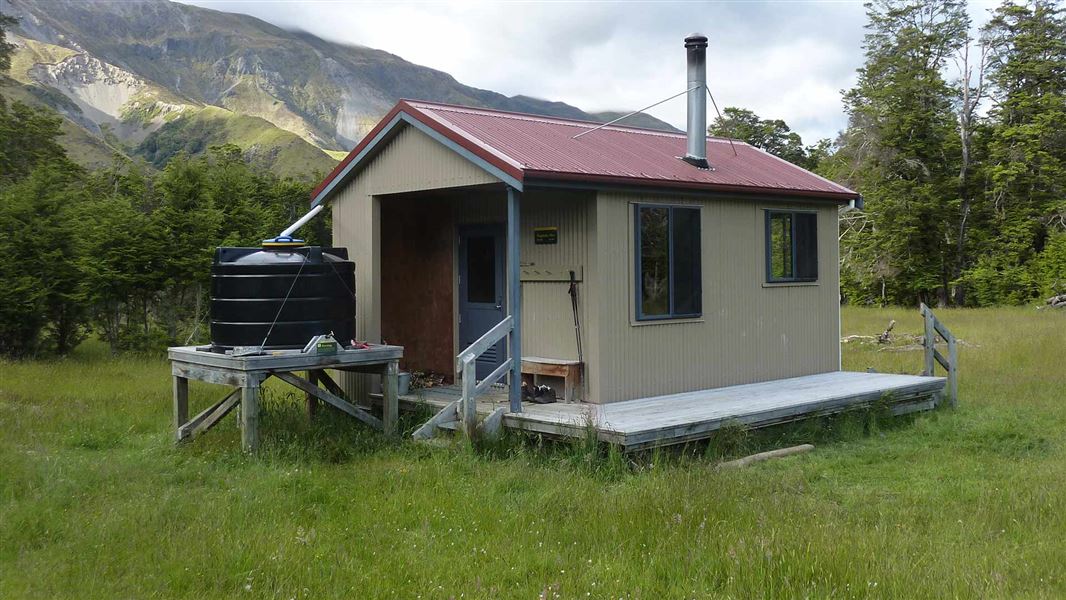
This is a standard five-bunk hut in the North Canterbury and Arthur's Pass area.
On the way here
St James Walkway · 5 days
Walking options
The St James Walkway is commonly done over 5 days / 4 nights. It's suitable for both beginners and experienced trampers. For family groups the descent into Cannibal Gorge provides an invigorating shorter walk along a well formed, boardwalked track. Ensure you stay on the formed track on the section from Magdalen Hut to Boyle village as this crosses private property.
Boyle Flat Hut - Boyle settlement
Time: 5 hr
14.5 km After re-crossing the footbridge to join the walkway route on the true left bank, follow markers to the start of the track through the gorge. A suspension bridge crosses the Boyle River, then the track follows the true right bank to another suspension bridge. Magdalen Hut is 30 minutes from this second bridge. A vehicle track is joined and followed down the valley to the shelter and car park at SH7by the Boyle settlement.
Source: DOC Te Papa Atawhai.
Know before you go
Dogs
No dogs allowed.
Source: DOC Te Papa Atawhai.
Fees and bookings
Before you go, buy Hut Tickets for each night's stay. Put these in the honesty box at the hut. Or buy a Backcountry Hut Pass that gives unlimited use at most Standard and Serviced huts for a 12 month period. Retailers that sell hut tickets and passes
Book Magdalen Hut online
Source: DOC Te Papa Atawhai.
Nearby stops
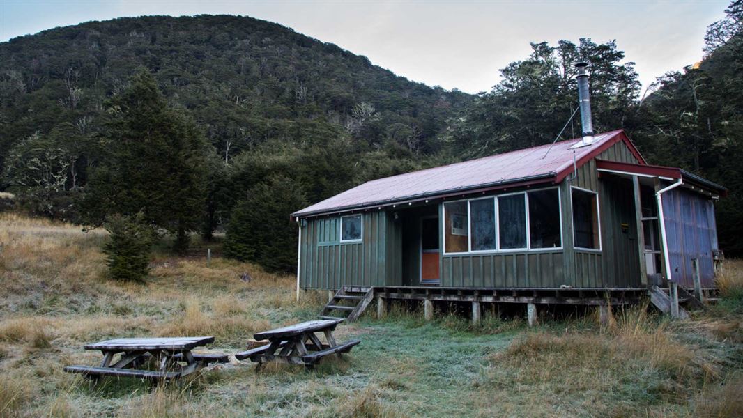
Boyle Flat Hut
Serviced • 12 bunks • Canterbury • 3.7 km
Boyle Flat Hut is a serviced 12-bunk hut located in the St James Conservation Area in Canterbury.
Heating • Mattresses • Toilets - non-flush

Rokeby Hut
Basic/bivvies • 3 bunks • Canterbury • 7.1 km
Rokeby Hut is a basic three-bunk shelter located in the St James Conservation Area in Canterbury.
Toilets - non-flush • Water from stream • Water supply
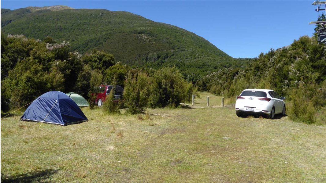
Boyle Campsite
Standard • Canterbury • 7.6 km
Boyle Campsite is a campsite in Canterbury, set within kānuka forest just off State Highway 7 between Hanmer Springs and Lewis Pass. It lies on the Te Araroa…
Non-powered/tent sites • Water from tap - not treated, boil before use • Wheelchair accessible with assistance
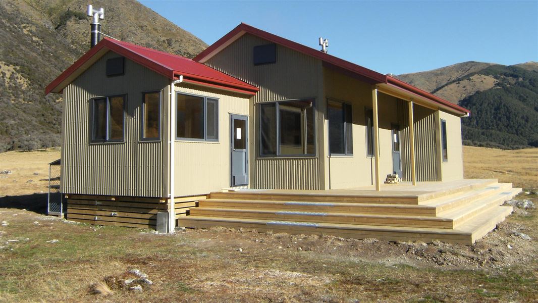
Anne Hut
Serviced • 20 bunks • Canterbury • 16.9 km
Anne Hut is a serviced 20-bunk hut located in the St James Conservation Area in Canterbury.
Heating • Mattresses • Toilets - non-flush
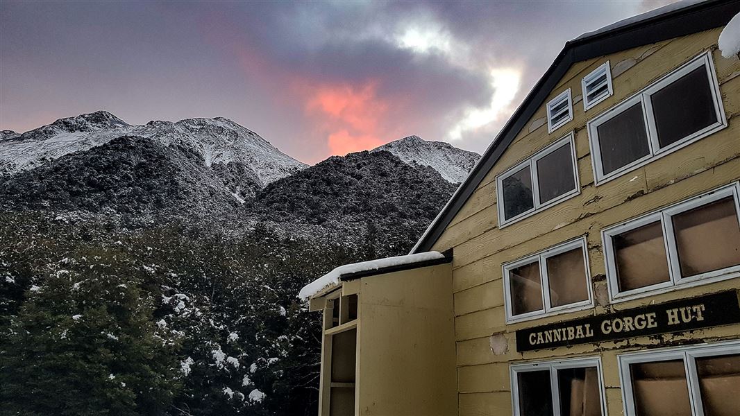
Cannibal Gorge Hut
Serviced • 20 bunks • West Coast • 19.3 km
Cannibal Gorge Hut is a serviced 20-bunk hut located in the Greymouth area of the West Coast.
Heating • Mattresses • Toilets - non-flush
Walks nearby
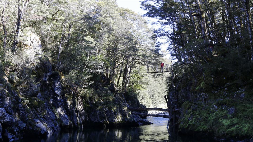
Lucretia Hut Route
Expert • 4 hr • 5.7 km from Nina swing bridge • 11.58 km away
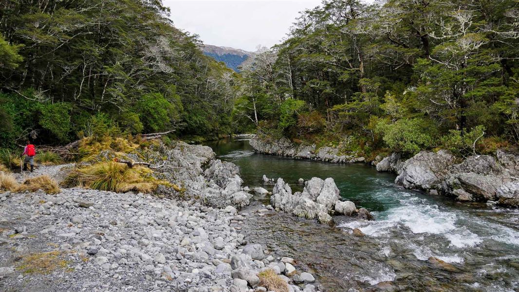
Nina Valley Track
Advanced • 5 hr • 13 km • 12.04 km away
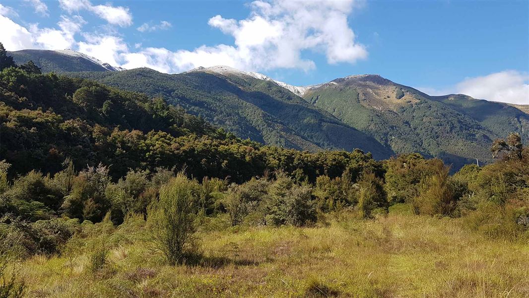
Tui Track
Advanced • 3 hr • 11 km • 12.19 km away
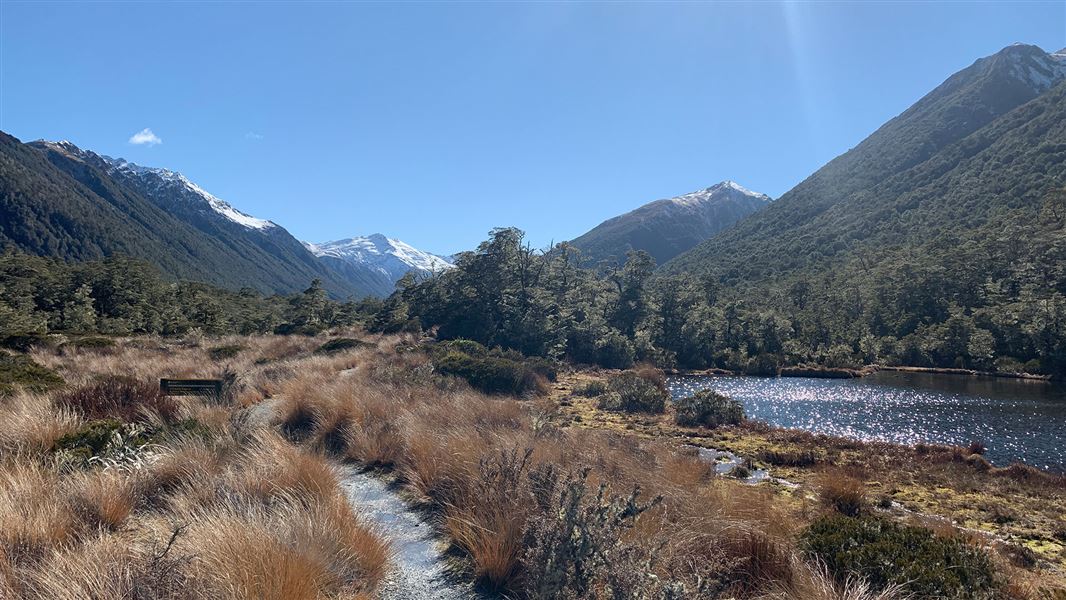
Alpine Nature Walk
Easiest • 20 min • 800 m • 14.58 km away
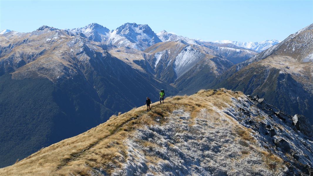
Lewis Tops Track
Advanced • 1 hr 30 mins one way • 2.6 km • 14.84 km away
Contact
Arthur's Pass National Park Visitor Centre
104 West Coast Road, Arthur's Pass 7654
Regional DOC service centre.
Notes from people who have been
No notes yet. If you have been, say what you found.
Something missing or out of date?
Closed, moved, wrong facts, or something we have missed? Travellers keep the Road Guide up to date. Tell us what you found at contribute@parkup.nz and we will check it and add it.
Ask us to take this down
A person reads every request. We do not remove a place until we have checked it.
Sources
- DOC Huts (API) · CC BY 4.0Crown Copyright: Department of Conservation Te Papa Atawhai. Data sourced from the DOC Developer Portal (api.doc.govt.nz).
- OpenStreetMap Huts · ODbL (Open Database License)Contains information from OpenStreetMap, made available under the ODbL.
- DOC Huts · CC BY 4.0Data sourced from the Department of Conservation (DOC), New Zealand.