Nina Valley Track
WalkCanterbury
- Grade
- Advanced
- Walking time
- 5 hr
- Distance
- 13 km
- Dogs
- No dogs
Getting there
We have not checked a road end or car park for this place yet, so we do not give driving directions to it. Check how to get there before you go. Some routes cross private land and need the landowner's permission.
How to get there, on doc.govt.nzAccess is off SH7, around 50 km after the turnoff to Hanmer Springs and 10 km from Lewis Pass.
There is a car park about 150 m north of the NZDA Lodge/Palmer Lodge (private lodge). Across the road from the car parking area is a swingbridge over the Lewis River which gives access to the Nina Valley.
There have been reports of cars being broken into and disabled along SH7. Don’t leave valuables in your car and leave vehicles at your own risk.
Source: DOC Te Papa Atawhai.
Map and tracks
Track lines: DOC Te Papa Atawhai. Map data © OpenStreetMap contributors. Topo map: LINZ, CC BY 4.0. 42.46233° S, 172.33589° E
About this place
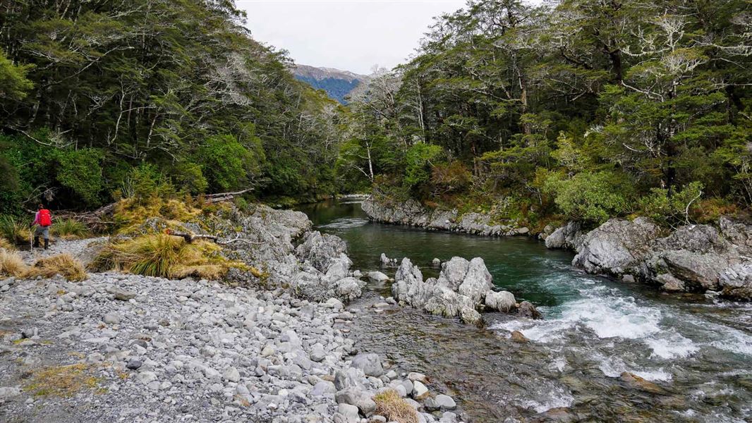
This track goes to the upper Nina Valley. While relatively flat, this track can be rough and muddy in places and has several stream crossings.
The route
The track to the hut can be wet and boggy in places and it has several stream crossings. The track is rough under foot in places. Expect times to take longer than listed if tramping with children or after periods of rain.
SH7 to Nina swing bridge
Time: 1 hr
Cross the Lewis River via the swing bridge and follow the true right bank for a short section before climbing briefly onto a terrace. The track then heads northwest away from the river and sidles through beech forest above the Nina River. The river is reached after about an hour of walking. The track continues up the true left of the river to where the Nina swing bridge crosses it. Lucretia Hut Route starts from the swing bridge.
Nina swing bridge to Nina Hut
Time: 2 hr
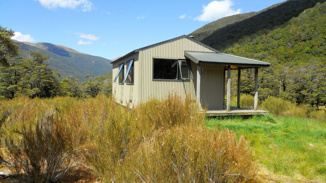
After crossing the bridge, the track heads up the true right of the river, gradually climbing to reach the Nina Hut.
Nina Hut to Upper Nina Biv
Time: 2 hr
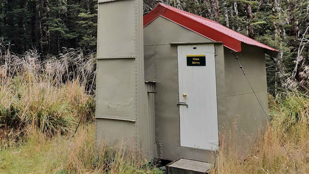
From Nina Hut follow the track down to Nina River and cross at a suitable place (note, it may not be crossable in high flow). Follow the track up the true left of the river to Upper Nina Biv.
Source: DOC Te Papa Atawhai.
Know before you go
Toilets
There are no public toilets in this area. The nearest ones are at Boyle Village or Springs Junction.
Muddy track
The Nina Valley Track to Nina Hut can become extremely muddy, especially after heavy rain. Expect times to take longer than listed after periods of rain.
Stay safe when crossing rivers
If you plan to cross unbridged rivers, know how to cross safely and be prepared for if you cannot cross. Do not cross if the river is flooded, you cannot find safe entry and exit points or are unsure it’s safe. Turn back or wait for the river to drop. If in doubt, stay out. How to cross rivers safely
Wasps
Wasp populations reach high numbers from January to April – cover food and keep lids on sweet drinks, wear light-coloured clothing and carry antihistamine cream/tablets as a precaution.
Source: DOC Te Papa Atawhai.
Joins these tracks
Source: DOC Te Papa Atawhai.
On this track
In walking order.
Nearby stops
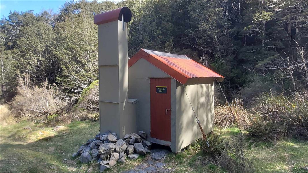
Lucretia Hut
Basic/bivvies • 2 bunks • Canterbury • 4.1 km
Lucretia Hut is a basic two-bunk hut located in the North Canterbury and Arthur's Pass area of Canterbury.
Heating • Toilets - non-flush • Water from stream
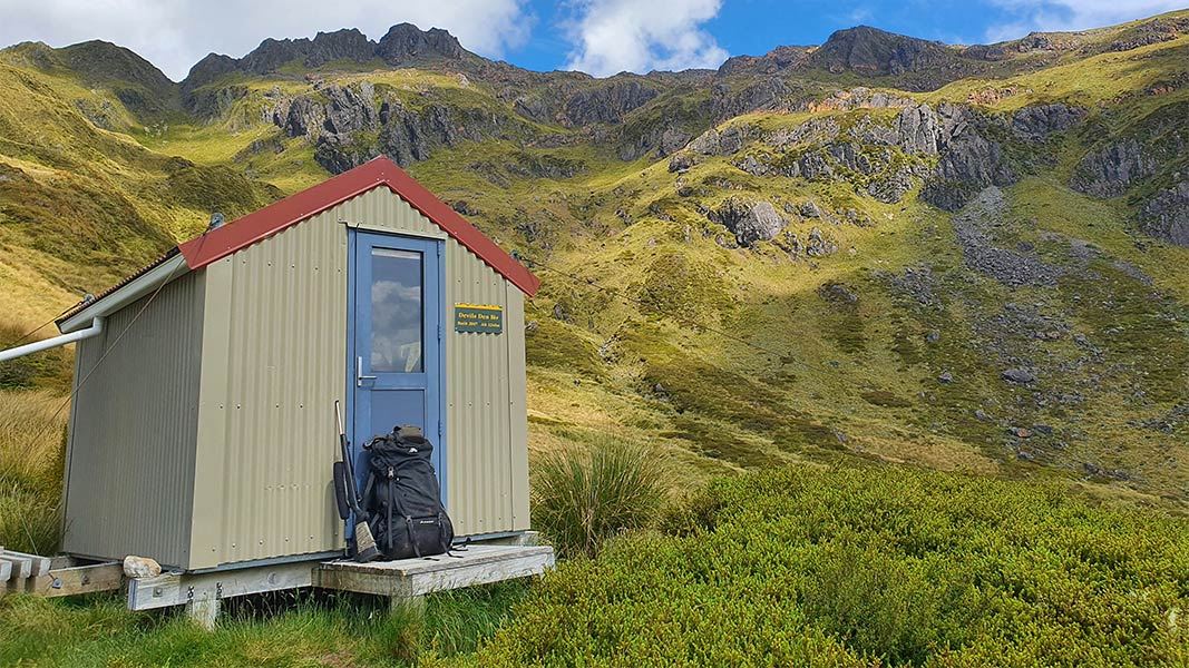
Devils Den Bivvy
Basic/bivvies • 2 bunks • Canterbury • 4.4 km
Devils Den Bivvy is a basic two-bunk hut located in the North Canterbury and Arthur's Pass area.
Mattresses • Toilets - non-flush • Water from tap - not treated, boil before use
Brass Monkey Bivvy
4 bunks • West Coast • 5 km
Mattresses • Toilets - non-flush • Water from stream
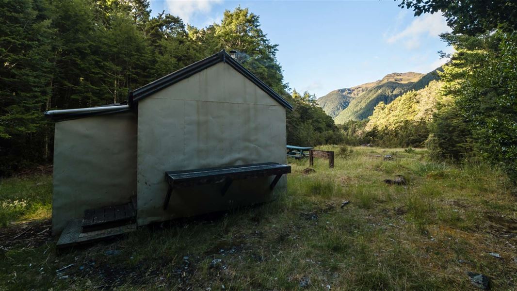
Lake Christabel Hut
Standard • 8 bunks • West Coast • 7.2 km
Lake Christabel Hut is a standard eight-bunk hut located in the Greymouth area of the West Coast.
Heating • Mattresses • Toilets - non-flush
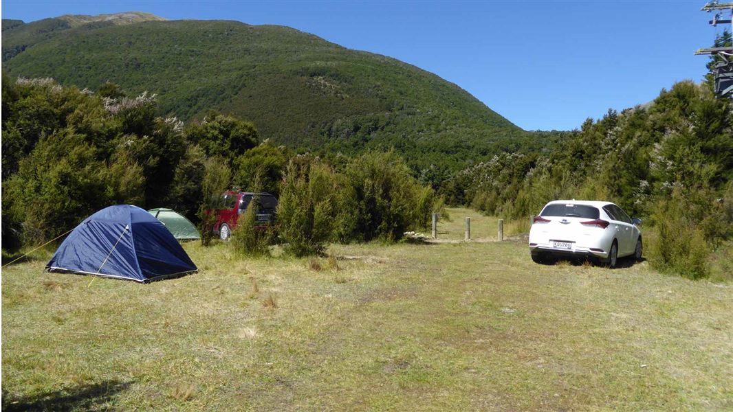
Boyle Campsite
Standard • Canterbury • 7.3 km
Boyle Campsite is a campsite in Canterbury, set within kānuka forest just off State Highway 7 between Hanmer Springs and Lewis Pass. It lies on the Te Araroa…
Non-powered/tent sites • Water from tap - not treated, boil before use • Wheelchair accessible with assistance
Walks nearby

Notes from people who have been
No notes yet. If you have been, say what you found.
Something missing or out of date?
Closed, moved, wrong facts, or something we have missed? Travellers keep the Road Guide up to date. Tell us what you found at contribute@parkup.nz and we will check it and add it.
Ask us to take this down
A person reads every request. We do not remove a place until we have checked it.
Sources
- DOC Tracks (API) · CC BY 4.0Crown Copyright: Department of Conservation Te Papa Atawhai. Data sourced from the DOC Developer Portal (api.doc.govt.nz).