Devilskin Saddle Route
WalkCanterbury
- Grade
- Advanced
- Walking time
- 6 hr
- Distance
- 9 km
- Dogs
- No dogs
Getting there
We have not checked a road end or car park for this place yet, so we do not give driving directions to it. Check how to get there before you go. Some routes cross private land and need the landowner's permission.
How to get there, on doc.govt.nzFrom the Nina Valley end, access is off SH7, around 50 km after the turnoff to Hanmer Springs and 10 km from Lewis Pass.
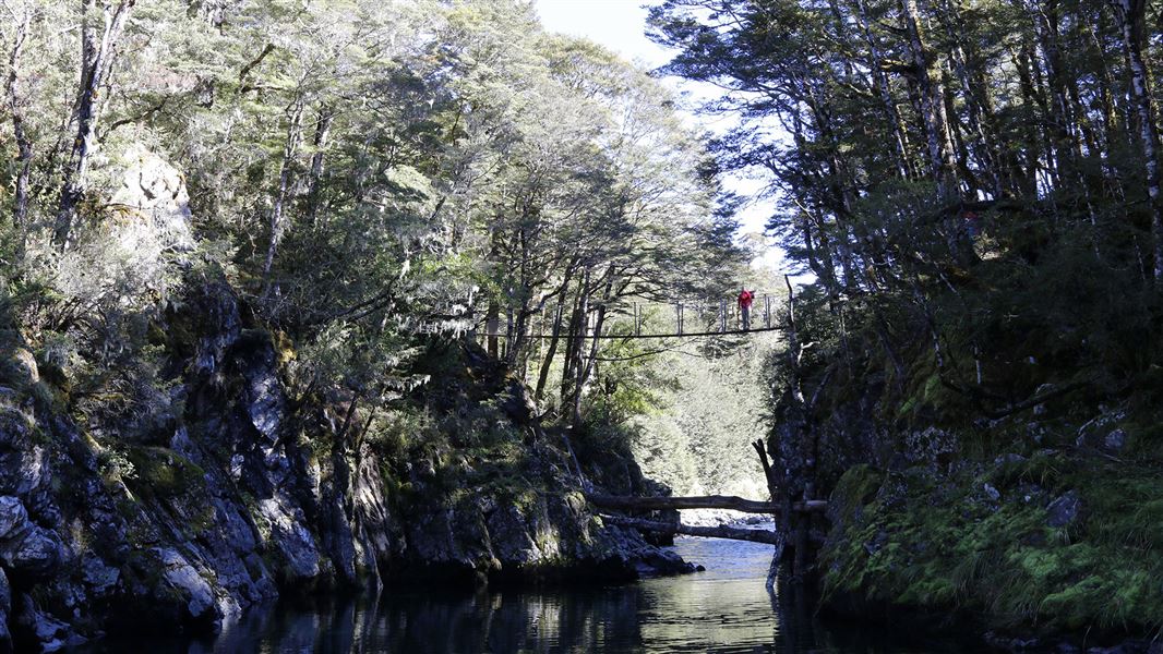
There is a carpark just opposite Palmer Lodge (private lodge). A swingbridge over the Lewis River gives access to the Nina Valley.
Source: DOC Te Papa Atawhai.
Map and tracks
Track lines: DOC Te Papa Atawhai. Map data © OpenStreetMap contributors. Topo map: LINZ, CC BY 4.0. 42.49667° S, 172.29072° E
About this place
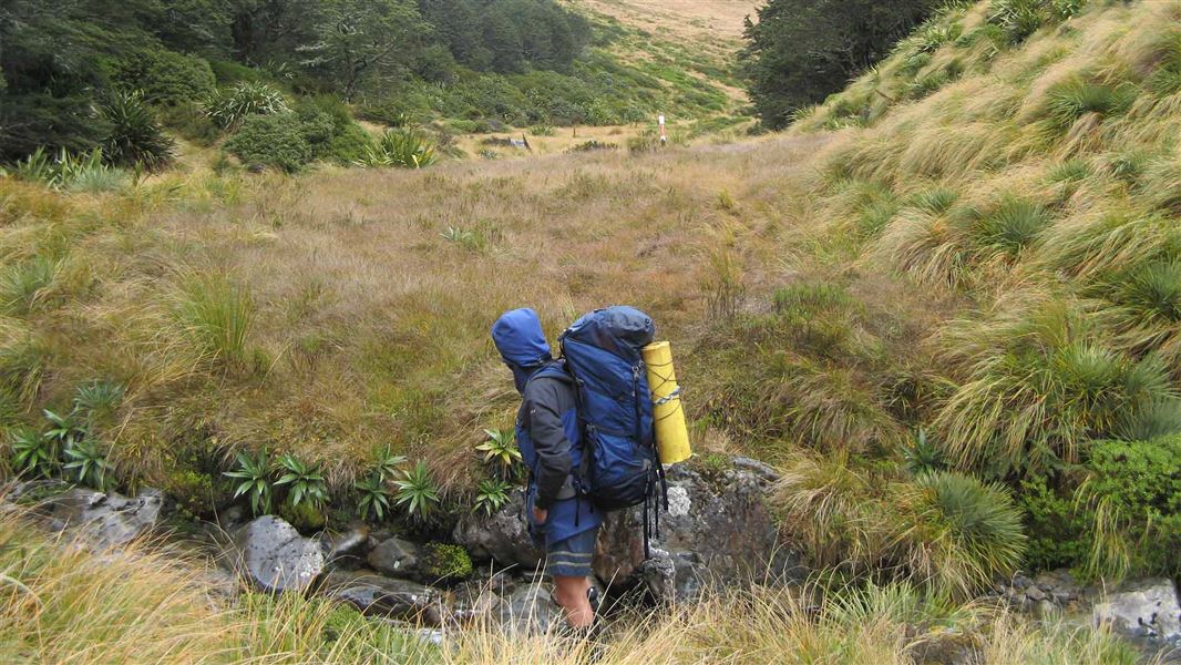
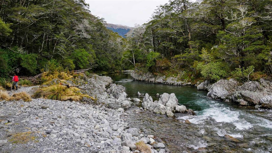
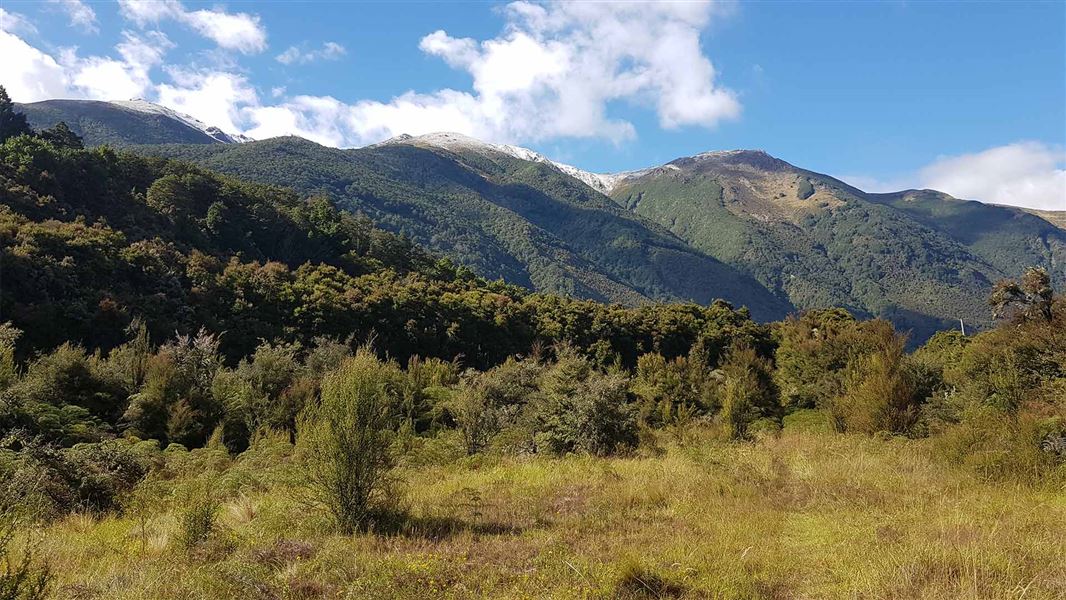
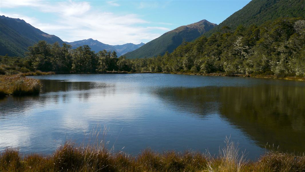
This route links the Nina and Doubtful valleys via Devilskin Saddle. This trip is suitable for experienced trampers and combines mountain-beech forest, river flats and an alpine saddle crossing.
The route
It can be walked in either direction, but it is recommended you walk it from the Nina valley.
Nina Hut to Devils Den Biv
Time: 2 hr
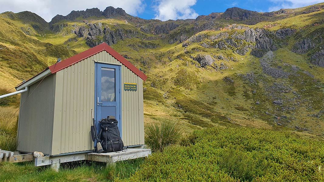
The track from the hut sidles through beech forest high above the Nina River. This section is a little harder to follow, but is reasonably well marked. Gradually gain altitude to reach Blind Stream after about an hour. The track climbs above the true right of the stream and very steeply up a spur. Use tree roots for hand and foot holds to avoid a hidden waterfall. Then track then levels out and reaches the old hut site at the tree line. This area is suitable for camping in summer but is avalanche prone in winter and spring. From here the route continues up the true right of the stream through waist-high red tussock. This section has risk of avalanches in winter and spring. Follow marker poles as the route sidles away from the stream and climbs for about 30 minutes to reach Devilskin Saddle where there are good views down both valleys. The Devils Den Biv is a further 100 m along the saddle. Note: This area is not suitable for camping. Trampers will need to return to the old hut site if they need to camp.
Devils Den Biv to Doubtful Hut
Time: 4 hr
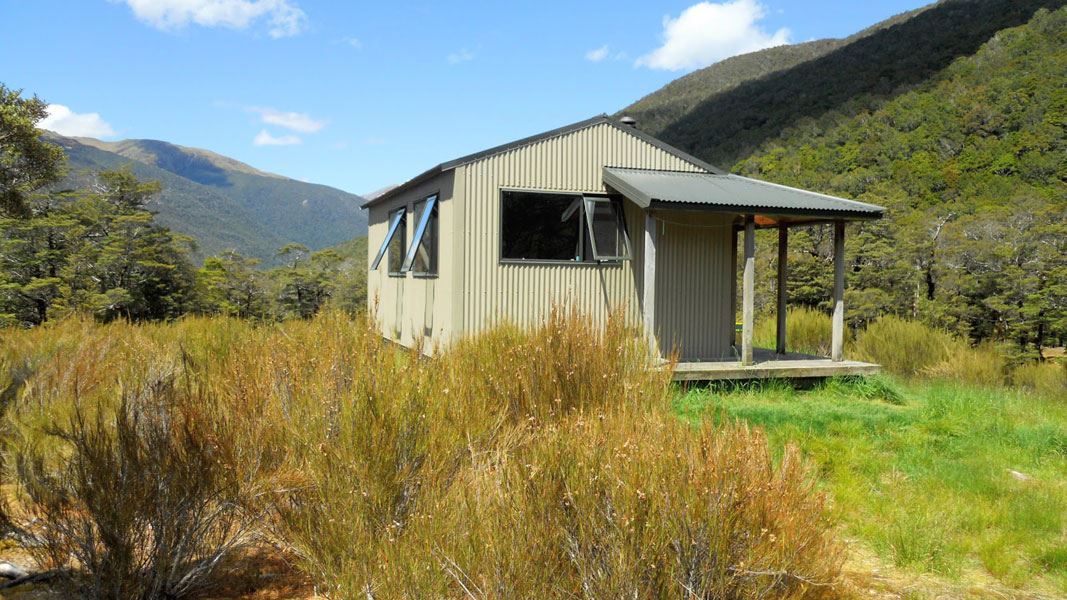
From the hut, follow marker poles down to Devilskin Stream where a track is picked up at the bushline. This track sidles along high on the true left above the stream, through silver beech forest. It eventually descends steeply to the confluence of Devilskin Stream and Doubtful River. Doubtful River must be crossed here. This crossing could be dangerous during or after heavy rain. Doubtful Hut is situated just downstream on a river terrace. From Doubtful Hut it is a 2 hour walk to cross the Boyle River to reach SH7. Doubtful Valley Track branches from Doubtful Hut. The track follows Doubtful River to Amuri Pass
Source: DOC Te Papa Atawhai.
On this track
In walking order.
Nearby stops
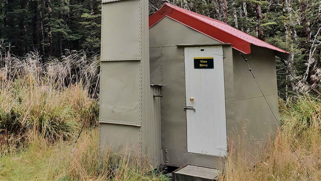
Upper Nina Bivvy
Basic/bivvies • 2 bunks • Canterbury • 3.4 km
Upper Nina Bivvy is a basic two-bunk hut located in the North Canterbury and Arthur's Pass area.
Heating • Mattresses • Toilets - non-flush
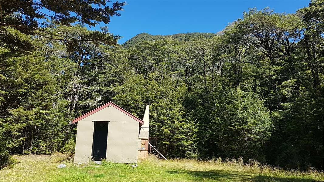
Doubtless Hut
Standard • 6 bunks • Canterbury • 6 km
Doubtless Hut is a standard six-bunk hut located in the North Canterbury and Arthur's Pass area.
Heating • Mattresses • Toilets - non-flush
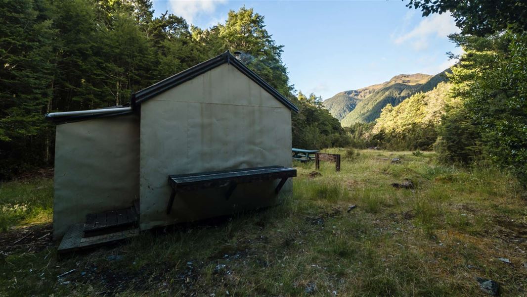
Lake Christabel Hut
Standard • 8 bunks • West Coast • 7.2 km
Lake Christabel Hut is a standard eight-bunk hut located in the Greymouth area of the West Coast.
Heating • Mattresses • Toilets - non-flush
Boyle Base Hut
12 bunks • Canterbury • 8 km
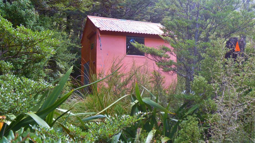
Lake Man Bivvy
Basic/bivvies • 2 bunks • Canterbury • 8 km
Lake Man Bivvy is a basic two-bunk hut located in the North Canterbury and Arthur's Pass area.
Toilets - non-flush • Water from stream • Water supply
Walks nearby
Something missing or out of date?
Closed, moved, wrong facts, or something we have missed? Travellers keep the Road Guide up to date. Tell us what you found at contribute@parkup.nz and we will check it and add it.
Ask us to take this down
A person reads every request. We do not remove a place until we have checked it.
Sources
- DOC Tracks (API) · CC BY 4.0Crown Copyright: Department of Conservation Te Papa Atawhai. Data sourced from the DOC Developer Portal (api.doc.govt.nz).