Rapurapu Kauri Track
WalkWaikato
- Grade
- Advanced
- Walking time
- 1 hr 15 min
- Distance
- 5 km
- Dogs
- No dogs
Getting there
We have not checked a road end or car park for this place yet, so we do not give driving directions to it. Check how to get there before you go. Some routes cross private land and need the landowner's permission.
How to get there, on doc.govt.nzOn SH29, about 4 km past the Kaimai Summit towards the Waikato side, a short gravel road on the left (not signposted) leads to a parking area where the track begins.
Source: DOC Te Papa Atawhai.
Map
Map data © OpenStreetMap contributors. Topo map: LINZ, CC BY 4.0. 37.89244° S, 175.91326° E
About this place
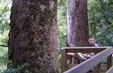
This track takes you through a stream several times and to swimming holes and kauri trees.
The route
This track features mature tawa/podocarp forest with many fern species in the understorey, a stream with swimming holes and three impressive kauri trees that are growing near their southern limit. The track leaves from a carpark on the Waikato side of the Kaimai range on SH29. It passes through pine forest before entering bush. The track continues on an easy grade for 20 minutes before descending to the Rapurapu Stream, which it crosses eight times before reaching the kauri grove. The largest tree measures 180 cm in diameter and 14 m to the first branch. A view of the three big trees may be obtained from the rocks in the middle of the stream, just before climbing the boardwalk steps. Kauri have a shallow root system which can easily be damaged. Keep to the boardwalk to avoid trampling the sensitive roots. Return along the same track.
Source: DOC Te Papa Atawhai.
Nearby stops
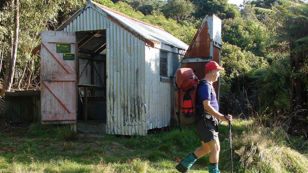
Hurunui Hut
Basic/bivvies • 3 bunks • Bay of Plenty • 8.4 km
Hurunui Hut is a basic three-bunk hut located in the Tauranga area of the Bay of Plenty.
Mattresses • Toilets - non-flush • Water from stream
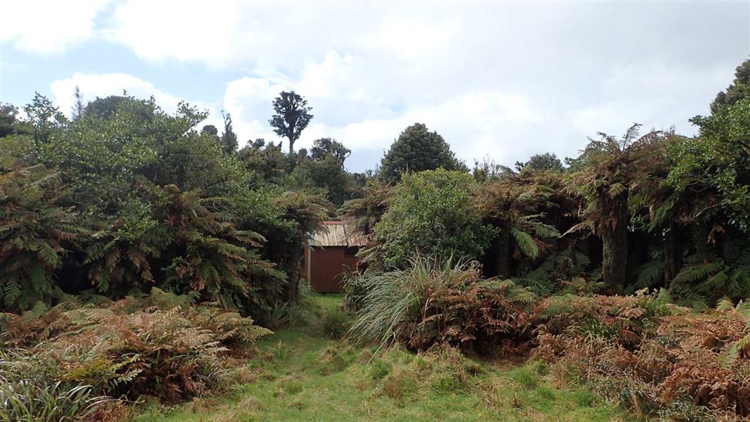
Mangamuka Hut
Basic/bivvies • 4 bunks • Waikato • 11.7 km
Mangamuka Hut is a basic four-bunk hut located in the Tauranga area of the Bay of Plenty.
Heating • Mattresses • Toilets - non-flush
Okoroire Hotel Campground
Waikato • 11.7 km
Okoroire Hotel Campground is a campsite located in the Waikato region. The provided records do not list specific facilities or details for this location.
Tōtara Springs Christian Centre
Waikato • 12.2 km
Tōtara Springs Christian Centre is a campsite located in the Waikato region. The available data does not specify any particular facilities or amenities for…
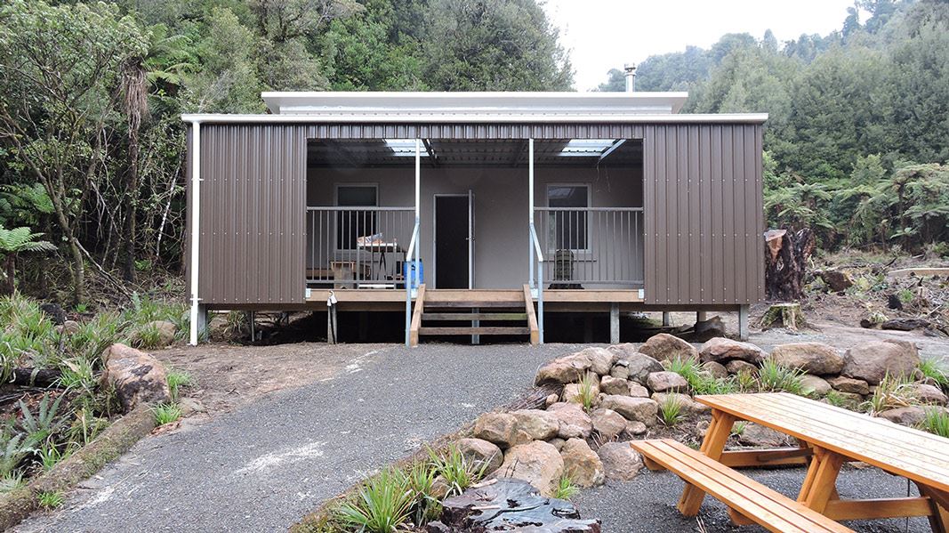
Te Whare Okioki
Serviced • 12 bunks • Waikato • 12.8 km
Te Whare Okioki is a serviced 12 bunk hut located in the Bay of Plenty region. Bookings for the hut must be made online in advance.
Heating • Mattresses • Lighting
Walks nearby
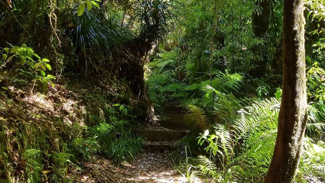
Kaimai Summit Loop Track
Advanced • 20 min • 500 m • 2.71 km away
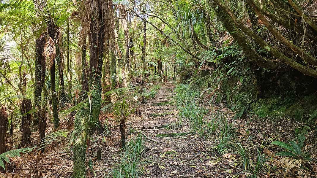
Henderson Tramline Loop Track
Advanced • 3 hrs 30 min • 9 km • 5.74 km away
Ngamuwahine Track
Advanced • 1 hr 30 min one way • 3.5 km • 11.97 km away
Leyland O'Brien Tramline Track
Advanced • 2 hr 30 min one way • 6.3 km to junction with North-South Track • 12.55 km away
Ngamarama/Te Tuhi Track
Advanced • 6 hr • 11.7 km • 14.82 km away
Notes from people who have been
No notes yet. If you have been, say what you found.
Something missing or out of date?
Closed, moved, wrong facts, or something we have missed? Travellers keep the Road Guide up to date. Tell us what you found at contribute@parkup.nz and we will check it and add it.
Ask us to take this down
A person reads every request. We do not remove a place until we have checked it.
Sources
- DOC Tracks (API) · CC BY 4.0Crown Copyright: Department of Conservation Te Papa Atawhai. Data sourced from the DOC Developer Portal (api.doc.govt.nz).