Ngamuwahine Track
WalkBay of Plenty
- Grade
- Advanced
- Walking time
- 1 hr 30 min
- Distance
- 3.5 km
- Dogs
- No dogs
Getting there
We have not checked a road end or car park for this place yet, so we do not give driving directions to it. Check how to get there before you go. Some routes cross private land and need the landowner's permission.
How to get there, on doc.govt.nzTake Ngamuwahine Road off SH29. The track starts at the end of the road, past the lodge and into the forest.
Source: DOC Te Papa Atawhai.
Map and tracks
Track lines: DOC Te Papa Atawhai. Map data © OpenStreetMap contributors. Topo map: LINZ, CC BY 4.0. 37.79749° S, 175.97754° E
Got a good photo of this place? Send it to us and we will show it with your name.
About this place
This track leads from the end of Ngamuwahine Road and takes you to a junction with the Leyland O'Brien Tramline Track.
The route
This track climbs up through the bush and crosses a river behind the lodge at the end of Ngamuwahine Road, before levelling out on a ridge. The track finishes at an intersection with the Leyland O'Brien Tramline Track . Return the same way.
Access to the track
To get to the actual track, you have to climb over the locked gate which is located to the right of Ngamuwahine Lodge. Follow this track and you will get to the actual start of the DOC track.
Trout fishing
The Ngamuwahine Stream is known for trout and can be accessed via the Ngamuwahine Track. Licenses are required and can be purchased from Fish and Game New Zealand outlets.
Source: DOC Te Papa Atawhai.
Joins these tracks
Source: DOC Te Papa Atawhai.
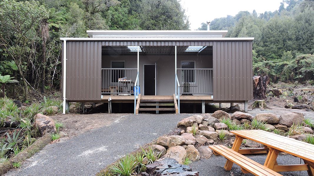
Nearby stops
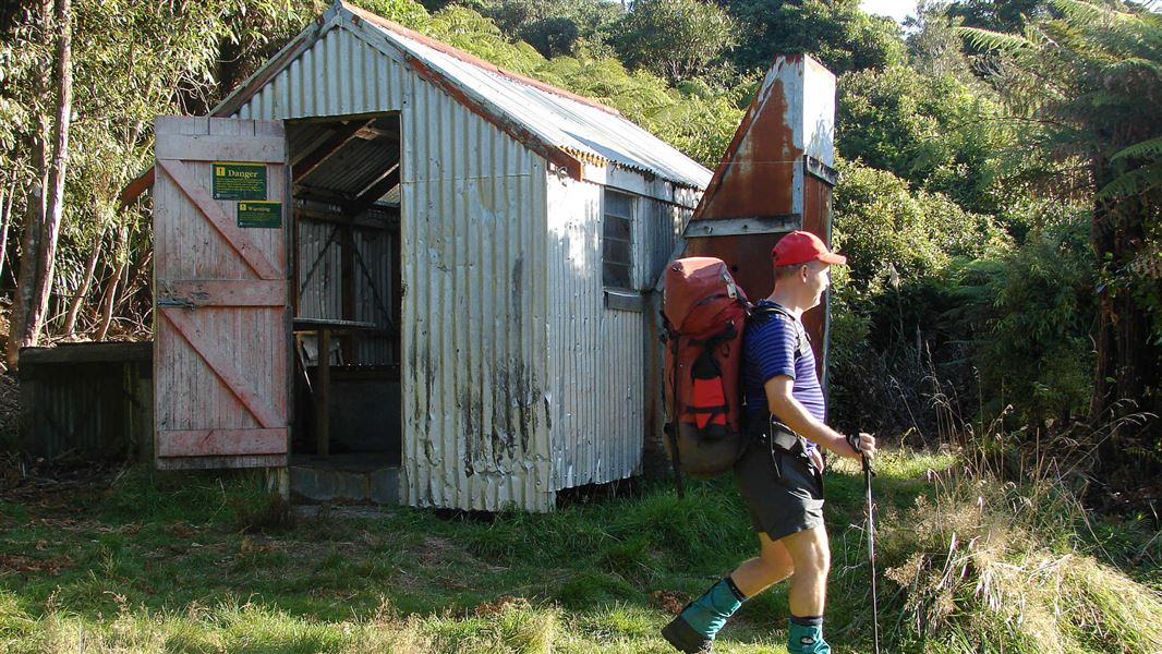
Hurunui Hut
Basic/bivvies • 3 bunks • Bay of Plenty • 4.9 km
Hurunui Hut is a basic three-bunk hut located in the Tauranga area of the Bay of Plenty.
Mattresses • Toilets - non-flush • Water from stream
Top Flat
Bay of Plenty • 5.9 km
Top Flat is a campsite located in the Bay of Plenty region of New Zealand. The provided records do not list specific facilities or additional details for this…
Hamilton Point
Bay of Plenty • 6 km
Pin Oak Flat
Bay of Plenty • 6.2 km
Pin Oak Flat is a campsite located in the Bay of Plenty region. The provided records do not include further details about its facilities or specific features.
Puketoki Scenic Reserve
Bay of Plenty • 7 km
Puketoki Scenic Reserve is on Leyland Road, off Whakamarama Road in Whakamārama. Freedom camping is limited to self-contained vehicles parked within marked…
Walks nearby
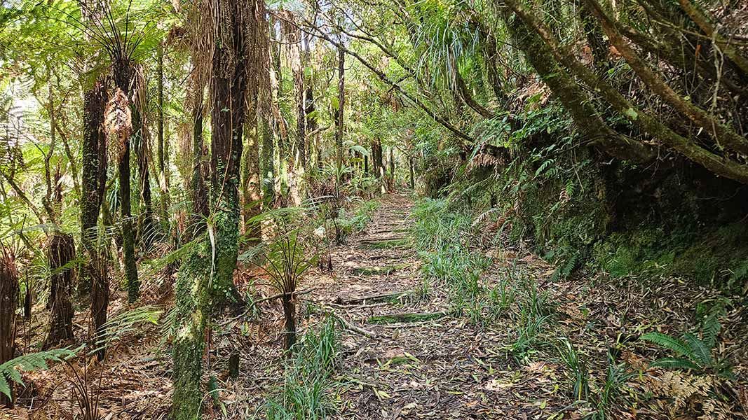
Henderson Tramline Loop Track
Advanced • 3 hrs 30 min • 9 km • 6.24 km away
Ngamarama/Te Tuhi Track
Advanced • 6 hr • 11.7 km • 6.74 km away
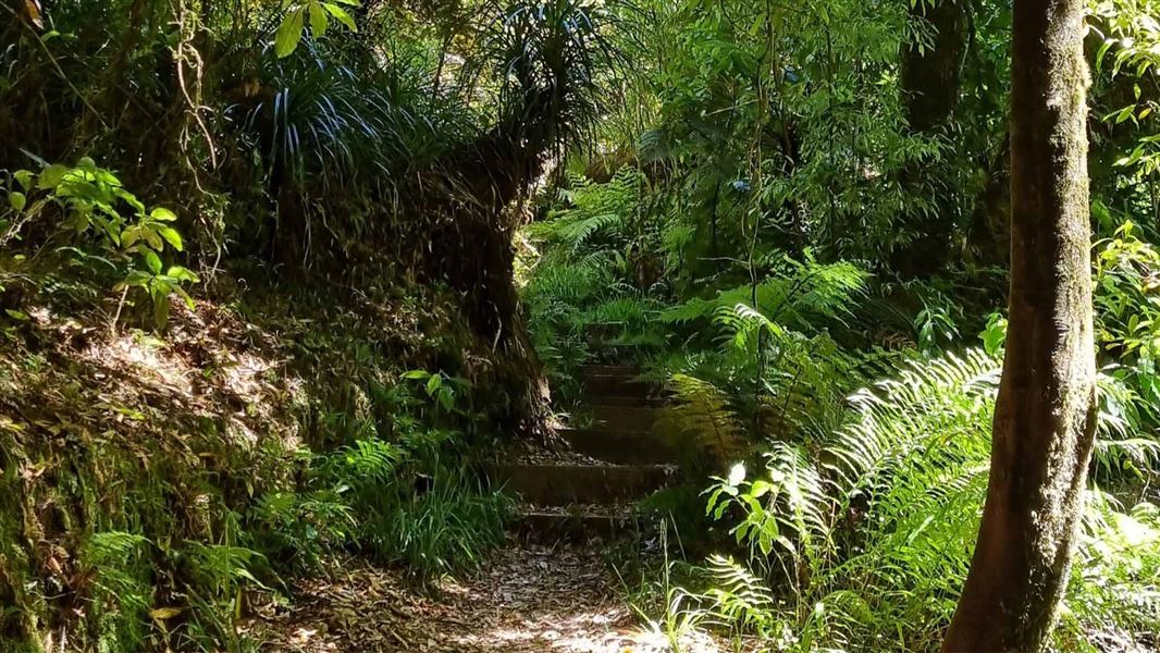
Kaimai Summit Loop Track
Advanced • 20 min • 500 m • 9.26 km away
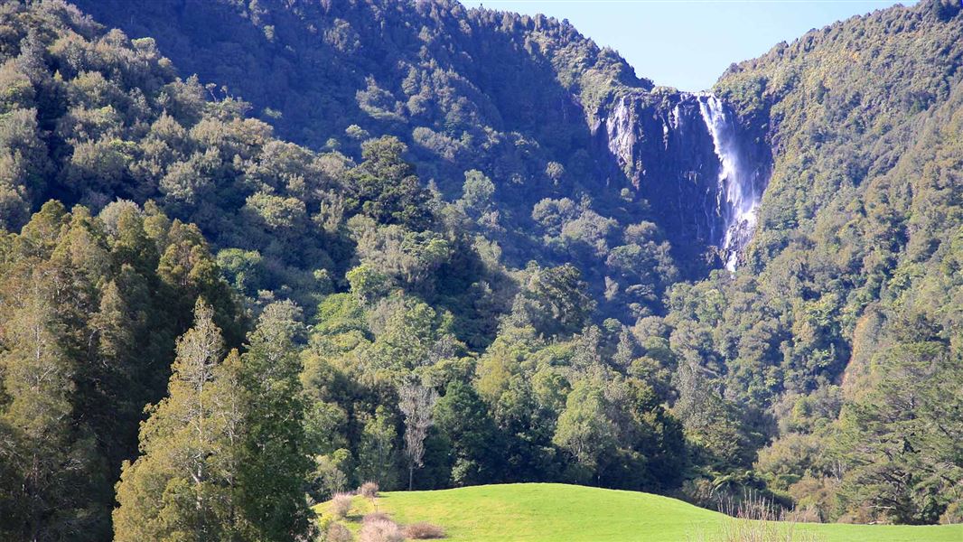
Wairere Falls Track
Easy • 3–4 hr return via same track • 5 km • 11.47 km away
Rapurapu Kauri Track
Advanced • 1 hr 15 min one way • 5 km • 11.97 km away
Notes from people who have been
No notes yet. If you have been, say what you found.
Something missing or out of date?
Closed, moved, wrong facts, or something we have missed? Travellers keep the Road Guide up to date. Tell us what you found at contribute@parkup.nz and we will check it and add it.
Ask us to take this down
A person reads every request. We do not remove a place until we have checked it.
Sources
- DOC Tracks (API) · CC BY 4.0Crown Copyright: Department of Conservation Te Papa Atawhai. Data sourced from the DOC Developer Portal (api.doc.govt.nz).