Henderson Tramline Loop Track
WalkBay of Plenty
- Grade
- Advanced
- Walking time
- 3 hr 30 min
- Distance
- 9 km
- Dogs
- No dogs
Getting there
We have not checked a road end or car park for this place yet, so we do not give driving directions to it. Check how to get there before you go. Some routes cross private land and need the landowner's permission.
How to get there, on doc.govt.nzThis track starts by the Tuakopae Stream bridge on Old Kaimai Road, off SH29 near Kaimai Summit.
Source: DOC Te Papa Atawhai.
Map
Map data © OpenStreetMap contributors. Topo map: LINZ, CC BY 4.0. 37.84611° S, 175.94205° E
About this place
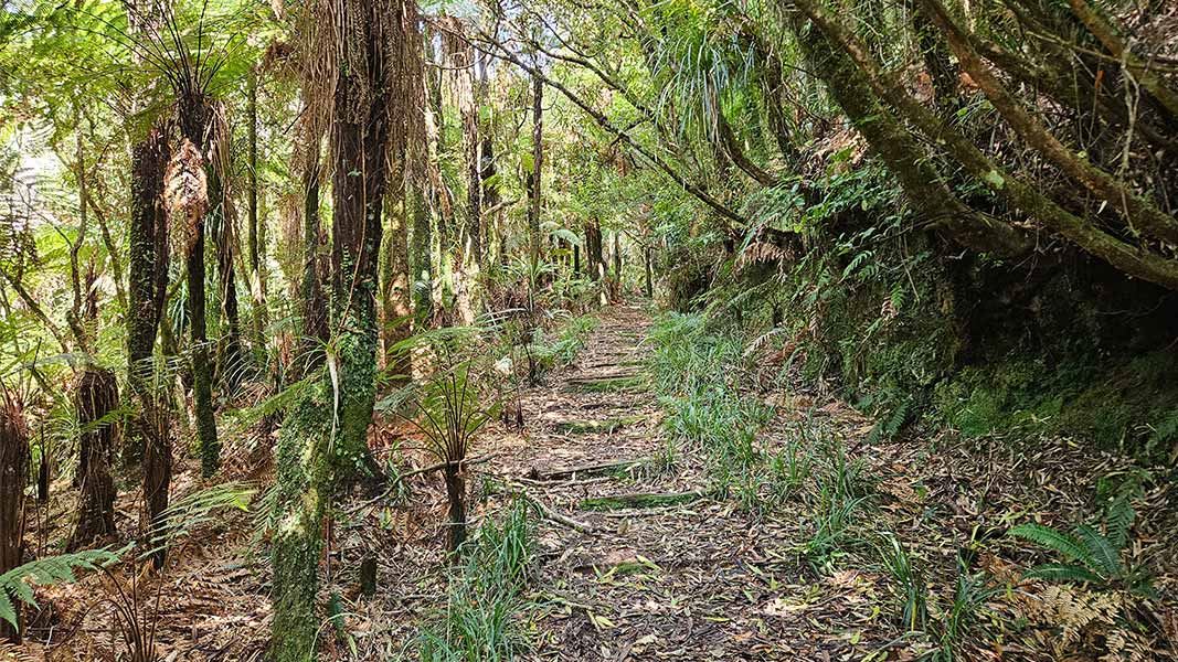
This walk follows a branch of the tramline through the bush to the North South track, and returns along a separate tramline branch back to the road.
The route
This walk includes a section of Old Kaimai Road and can be walked in either direction. From the carpark at the Tuakopae Stream Bridge on Old Kaimai Road, the track crosses a clearing before reaching a junction. A short side track leads down to the base of a waterfall and large swimming hole. The main track continues to join up with the western branch of the Henderson Tramline. When the tramline ends the track follows haul lines to the summit. Turn north on to the North South historic track until meeting up with the junction at the northern tramline. Follow the tramline east, then a cut track through the bush to the park boundary and along the edge of cleared land beside a deer fence. The track crosses two large tributaries of the Rataroa Stream before reaching the Old Kaimai Road. These are not bridged, but are normally shallow enough to cross with care. Follow the road back to the start of the track.
Source: DOC Te Papa Atawhai.
On this track
In walking order.
Nearby stops
Mangamuka Hut
Basic/bivvies • 4 bunks • Waikato • 7.6 km
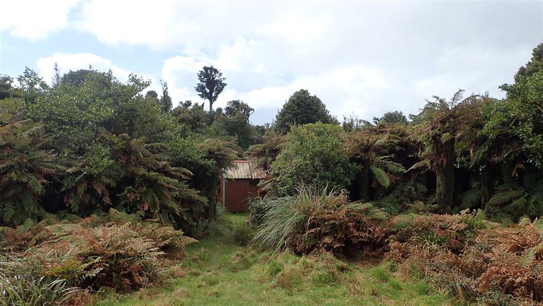
Mangamuka Hut is a basic four-bunk hut located in the Tauranga area of the Bay of Plenty.
Heating • Mattresses • Toilets - non-flush
Top Flat
Bay of Plenty • 9.3 km
Top Flat is a campsite located in the Bay of Plenty region of New Zealand. The provided records do not list specific facilities or additional details for this…
Hamilton Point
Bay of Plenty • 9.5 km
Pin Oak Flat
Bay of Plenty • 9.7 km
Pin Oak Flat is a campsite located in the Bay of Plenty region. The provided records do not include further details about its facilities or specific features.
Tōtara Springs Christian Centre
Waikato • 11 km
Tōtara Springs Christian Centre is a campsite located in the Waikato region. The available data does not specify any particular facilities or amenities for…
Walks nearby
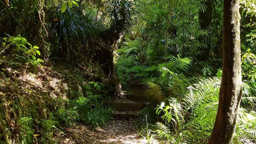
Kaimai Summit Loop Track
Advanced • 20 min • 500 m • 3.04 km away
Rapurapu Kauri Track
Advanced • 1 hr 15 min one way • 5 km • 5.74 km away
Ngamuwahine Track
Advanced • 1 hr 30 min one way • 3.5 km • 6.24 km away
Leyland O'Brien Tramline Track
Advanced • 2 hr 30 min one way • 6.3 km to junction with North-South Track • 6.87 km away
Ngamarama/Te Tuhi Track
Advanced • 6 hr • 11.7 km • 9.89 km away
Notes from people who have been
No notes yet. If you have been, say what you found.
Something missing or out of date?
Closed, moved, wrong facts, or something we have missed? Travellers keep the Road Guide up to date. Tell us what you found at contribute@parkup.nz and we will check it and add it.
Ask us to take this down
A person reads every request. We do not remove a place until we have checked it.
Sources
- DOC Tracks (API) · CC BY 4.0Crown Copyright: Department of Conservation Te Papa Atawhai. Data sourced from the DOC Developer Portal (api.doc.govt.nz).