Otamatapaio River easement
WalkCanterburyOpen
- Grade
- Advanced
- Walking time
- 3 hr
- Distance
- 10 km
- Dogs
- Under control
Access: read before you go
To access the Oteake Conservation area, turn off SH 83 on to Backyards road for 2 km to Otamatapaio River CA. There is 4wd access from here for 4 km to the gorge. From a second vehicle park here a marked public walking easement takes you to Otamatapaio Hut.
Source: DOC Te Papa Atawhai.
Getting there
We have not checked a road end or car park for this place yet, so we do not give driving directions to it. Check how to get there before you go. Some routes cross private land and need the landowner's permission.
How to get there, on doc.govt.nzTo access the Oteake Conservation area, turn off SH 83 on to Backyards road for 2 km to Otamatapaio River CA. There is 4wd access from here for 4 km to the gorge. From a second vehicle park here a marked public walking easement takes you to Otamatapaio Hut.
Source: DOC Te Papa Atawhai.
Map
Map data © OpenStreetMap contributors. Topo map: LINZ, CC BY 4.0. 44.62921° S, 169.99818° E
About this place
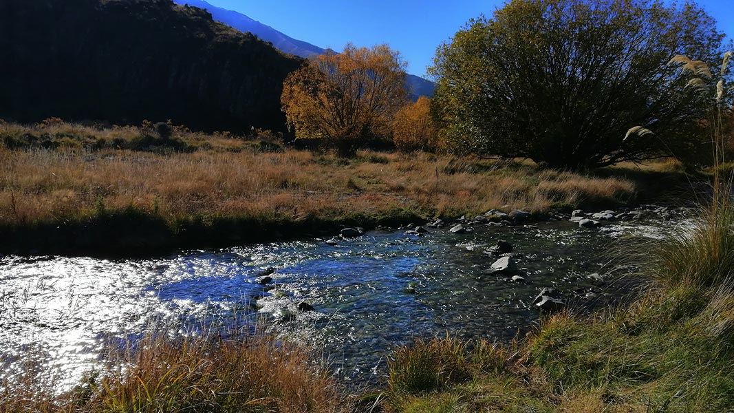
This easement leads to Manuherkia hunting area and Otamatapaio Hut.
The route
The walking easement begins at the Otamatapaio gorge and follows the river and crosses it a few times. The track takes you past an old stone hut on station land on the way.
Source: DOC Te Papa Atawhai.
Know before you go
Avalanches
Oteake Conservation Park has avalanche terrain. Be avalanche alert in Wakatipu, Wānaka and Central Otago
River crossings
Be aware of recent weather conditions in the catchment headwaters.
Fire
Fire restrictions apply to all conservation land. Check with the local information centres or DOC offices for the current fire status.
Communications
Mobile coverage is not reliable in the park. Satellite phones, mountain radios or personal locator beacons increase personal safety. Topographical maps are essential for all backcountry trips.
Source: DOC Te Papa Atawhai.
Nearby stops

Otamatapaio Hut
Standard • 4 bunks • Canterbury • 4.9 km
Otamatapaio Hut is a standard four-bunk hut located in the Mackenzie Country and Waitaki area of Canterbury.
Heating • Mattresses • Toilets - non-flush
Sailors Cutting Campsite
Canterbury • 11.6 km
Sailors Cutting Campsite is a camping area located in the Canterbury region of New Zealand. The provided records do not list specific facilities, prices, or…
Lake Benmore Holiday Park
Canterbury • 12.6 km
Lake Benmore Holiday Park is a campsite located in the Canterbury region. The site is currently closed for the 2025/2026 season.

Boundary Creek Hut
Standard • 8 bunks • Otago • 15.8 km
Boundary Creek Hut is an 8-bunk hut located in the Central Otago region.
Heating • Mattresses • Toilets - non-flush
Loch Laird Campsite
Canterbury • 15.8 km
Loch Laird Campsite is a camping area located in the Canterbury region of New Zealand. The provided records do not list specific facilities or additional…
Walks nearby
Saddle Ridge Track
Advanced • 3 hr • 7 km • 0 km away
Dog Gully Route
Expert • 2 hr • 5 km • 1.22 km away
Baldy Knob Route
Expert • 3-4 hours (Otamatapaio Scenic Reserve to Oteake Conservation Park boundary) • 11.5 km • 2.54 km away
Ewe Range Track
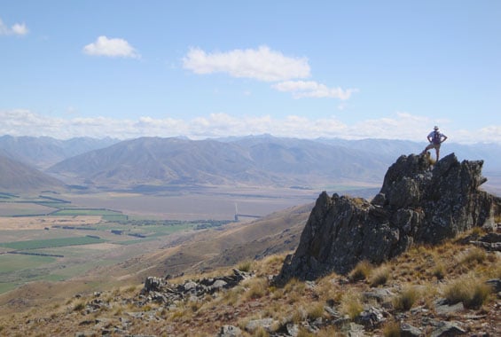
Advanced • 3 hr • 6.5 km • 7.45 km away
Otamatakou Track
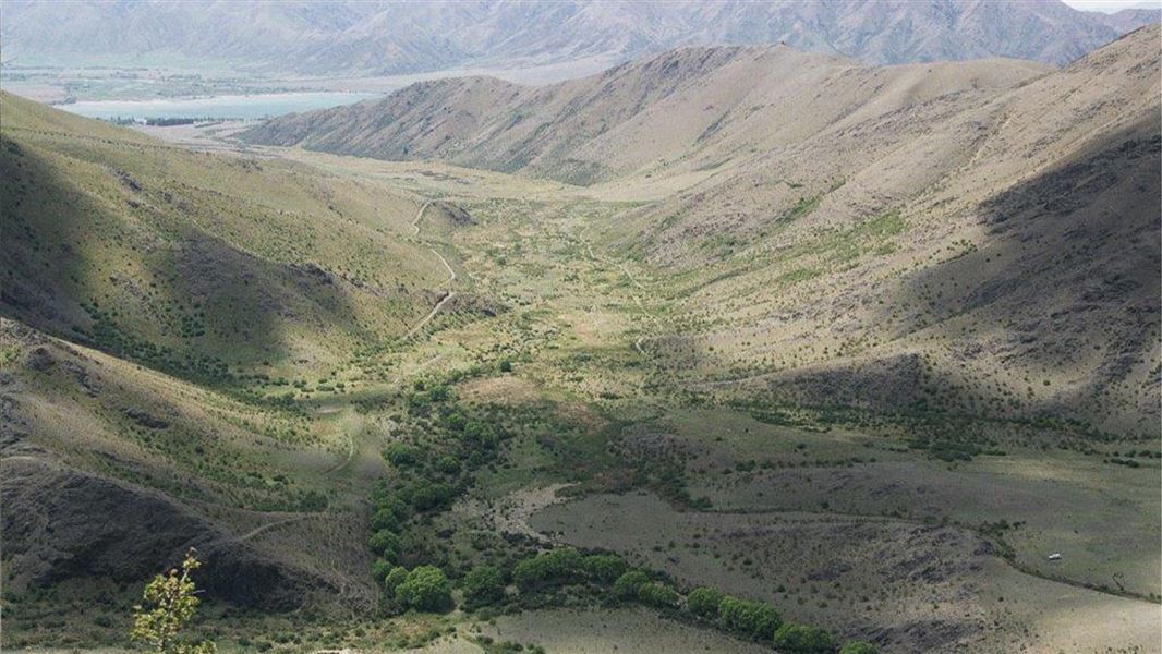
Easy • 1hr 30 min – 2 hr • 5.5 km one way • 10.12 km away
Notes from people who have been
No notes yet. If you have been, say what you found.
Something missing or out of date?
Closed, moved, wrong facts, or something we have missed? Travellers keep the Road Guide up to date. Tell us what you found at contribute@parkup.nz and we will check it and add it.
Ask us to take this down
A person reads every request. We do not remove a place until we have checked it.
Sources
- DOC Tracks & Trails · CC BY 4.0Data sourced from the Department of Conservation (DOC), New Zealand.
- DOC Tracks (API) · CC BY 4.0Crown Copyright: Department of Conservation Te Papa Atawhai. Data sourced from the DOC Developer Portal (api.doc.govt.nz).