Sailors Cutting Campsite
CampsiteCanterbury
- Cost
- Fee applies
- Dogs
- On a lead
Map
Map data © OpenStreetMap contributors. Topo map: LINZ, CC BY 4.0. 44.54638° S, 170.08824° E
Got a good photo of this place? Send it to us and we will show it with your name.
Nearby stops
Lake Benmore Holiday Park
Canterbury • 3.8 km
Lake Benmore Holiday Park is a campsite located in the Canterbury region. The site is currently closed for the 2025/2026 season.
Loch Laird Campsite
Canterbury • 8.2 km
Loch Laird Campsite is a camping area located in the Canterbury region of New Zealand. The provided records do not list specific facilities or additional…
Wildlife Campsite
Canterbury • 9.4 km
Wildlife Campsite is a campsite located in the Canterbury region of New Zealand. The available records provide no further details regarding specific facilities…

Ahuriri Bridge Campsite
Basic • Canterbury • 11.9 km
Ahuriri Bridge Campsite is located on the bank of the Ahuriri River in Canterbury. The site offers shaded camping under willow trees and serves as a base for…
Non-powered/tent sites • Water from stream • Toilets - non-flush
Omarama Top 10 Holiday Park
Canterbury • 11.9 km
Walks nearby
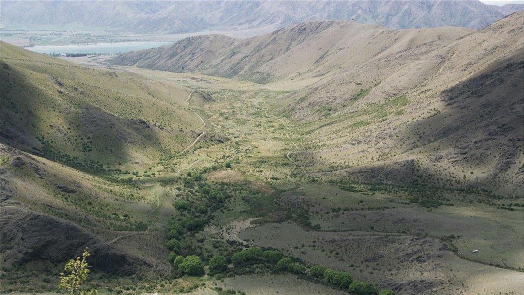
Otamatakou Track
Easy • 1hr 30 min – 2 hr • 5.5 km one way • 2.93 km away
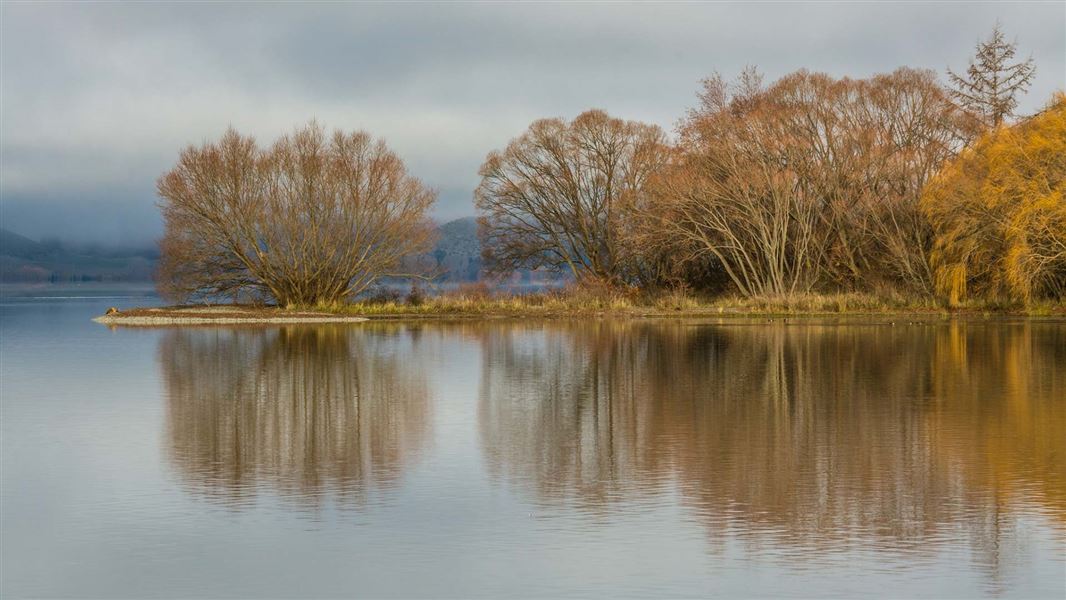
Benmore Peninsula Walk
Easy • 1 hr 40 min • 4 km • 8.72 km away
Baldy Knob Route
Expert • 3-4 hours (Otamatapaio Scenic Reserve to Oteake Conservation Park boundary) • 11.5 km • 10.14 km away
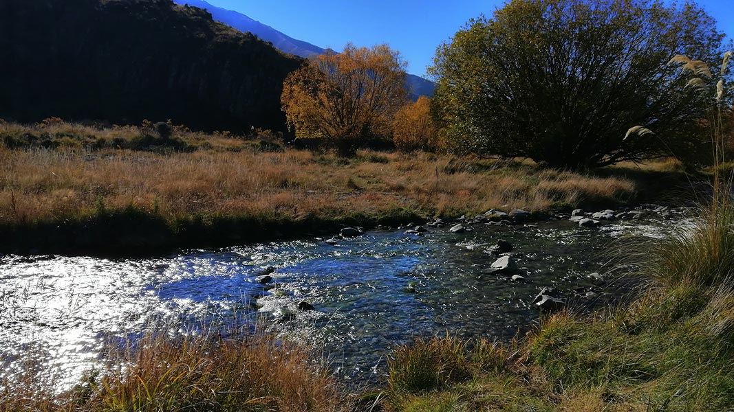
Otamatapaio River easement
Advanced • 3 hr • 10 km • 11.65 km away
Saddle Ridge Track
Advanced • 3 hr • 7 km • 11.65 km away
Notes from people who have been
No notes yet. If you have been, say what you found.
Something missing or out of date?
Closed, moved, wrong facts, or something we have missed? Travellers keep the Road Guide up to date. Tell us what you found at contribute@parkup.nz and we will check it and add it.
Ask us to take this down
A person reads every request. We do not remove a place until we have checked it.
Sources
- OpenStreetMap Campsites · ODbL (Open Database License)Contains information from OpenStreetMap, made available under the ODbL.