Ewe Range Track
WalkCanterbury
- Grade
- Advanced
- Walking time
- 3 hr
- Distance
- 6.5 km
- Dogs
- No dogs
Access: read before you go
This track crosses private land. There is no camping until the conservation area boundary. Respect the landowner's livestock and property: Stay on the marked track until you reach the conservation land Leave gates as you find them Use stiles where provided Keep your distance from livestock.
You need permission from the Makarora River Ranch to take your dog into Hāwea Conservation Park using Boundary Creek Track. Email makaroraranch@gmail.com at least 24 hours in advance of your visit to request permission. You must provide a valid worming certificate to ensure your dog is free from hydatids and sheep measles.
Source: DOC Te Papa Atawhai.
Getting there
We have not checked a road end or car park for this place yet, so we do not give driving directions to it. Check how to get there before you go. Some routes cross private land and need the landowner's permission.
How to get there, on doc.govt.nzTurn down Broken Hut Road, 1 km south of Omarama. This road turns into a gravel surface so drive carefully. At the road end there is a formed car park and interpretation panel. Walk from the car park back out to Broken Hut Road to the DOC sign for Ewe Range Track.
Source: DOC Te Papa Atawhai.
Map
Map data © OpenStreetMap contributors. Topo map: LINZ, CC BY 4.0. 44.61166° S, 169.90737° E
About this place
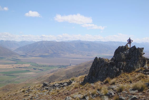
The Ewe Range Track provides walking access to the northern end of Oteake Conservation Park.
The route
From Broken Hut Road carpark, follow the DOC markers to reach a well formed 4WD track. It is a steep climb up this track to reach the top of the Ewe Range where there are striking views towards Lake Ōhau and the Ahuriri valley. The majority of the track is a public access easement through private farmland. From the saddle this track provides access for experienced trampers and, in winter, backcountry skiers to explore the Hawkdun Range.
Source: DOC Te Papa Atawhai.
Know before you go
There may be avalanche danger
Avalanches usually occur from May to November in Oteake Conservation Park. There can also be avalanches outside this period, if there is still snow coverage. If you are going into avalanche terrain, you need to take precautions. You must have the relevant avalanche skills and training. Go with a buddy. Both of you should carry and know how to use an avalanche transceiver, a snow shovel and a probe. Check the ATES rating and the New Zealand Avalanche Advisory. Be avalanche alert in Wakatipu, Wānaka and Central Otago New Zealand Avalanche Advisory Map: NZTopo50 CA15 Omarama
Private property and permissions
This track crosses private land. There is no camping until the conservation area boundary. Respect the landowner's livestock and property: Stay on the marked track until you reach the conservation land Leave gates as you find them Use stiles where provided Keep your distance from livestock.
Dogs
You need permission from the Makarora River Ranch to take your dog into Hāwea Conservation Park using Boundary Creek Track. Email makaroraranch@gmail.com at least 24 hours in advance of your visit to request permission. You must provide a valid worming certificate to ensure your dog is free from hydatids and sheep measles.
Source: DOC Te Papa Atawhai.
Nearby stops

Otamatapaio Hut
Standard • 4 bunks • Canterbury • 9.4 km
Otamatapaio Hut is a standard four-bunk hut located in the Mackenzie Country and Waitaki area of Canterbury.
Heating • Mattresses • Toilets - non-flush

Top Hut – Otago
Standard • 8 bunks • Otago • 10.5 km
Top Hut is an 8-bunk hut located in the Central Otago area.
Heating • Mattresses • Toilets - non-flush

Boundary Creek Hut
Standard • 8 bunks • Otago • 13.7 km
Boundary Creek Hut is an 8-bunk hut located in the Central Otago region.
Heating • Mattresses • Toilets - non-flush
Omarama Top 10 Holiday Park
Canterbury • 14.4 km
Lake Benmore Holiday Park
Canterbury • 15.2 km
Lake Benmore Holiday Park is a campsite located in the Canterbury region. The site is currently closed for the 2025/2026 season.
Walks nearby
Dog Gully Route
Expert • 2 hr • 5 km • 6.33 km away
Baldy Knob Route
Expert • 3-4 hours (Otamatapaio Scenic Reserve to Oteake Conservation Park boundary) • 11.5 km • 6.74 km away
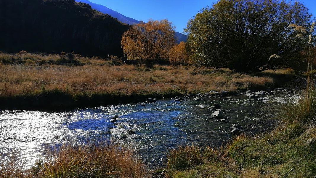
Otamatapaio River easement
Advanced • 3 hr • 10 km • 7.45 km away
Saddle Ridge Track
Advanced • 3 hr • 7 km • 7.45 km away
Berwen Track
Advanced • 1 hr 30 min to 2 hr • 5 km • 11.13 km away
Notes from people who have been
No notes yet. If you have been, say what you found.
Something missing or out of date?
Closed, moved, wrong facts, or something we have missed? Travellers keep the Road Guide up to date. Tell us what you found at contribute@parkup.nz and we will check it and add it.
Ask us to take this down
A person reads every request. We do not remove a place until we have checked it.
Sources
- DOC Tracks (API) · CC BY 4.0Crown Copyright: Department of Conservation Te Papa Atawhai. Data sourced from the DOC Developer Portal (api.doc.govt.nz).