Nydia Track
WalkMarlborough
- Grade
- Advanced
- Walking time
- 5 hr
- Distance
- 27 km
- Biking time
- 5 hr - 8 hr
- Dogs
- DOC permit only
Getting there
We have not checked a road end or car park for this place yet, so we do not give driving directions to it. Check how to get there before you go. Some routes cross private land and need the landowner's permission.
How to get there, on doc.govt.nzTurn off State Highway 6 just north of Rai Valley, then right onto Opouri Road and follow to the end. It is 27 km to Tennyson Inlet; the last section is windy, with beautiful bush and wonderful views from Opouri Saddle. The track starts at the road end and carpark at Duncan Bay.
From Havelock, turn off at Te Hoiere Road, 2 km north of Havelock, then right onto Kaiuma Bay Road. Travel 21 km to the track start on the roadside marked with a large sign. Kaiuma Road is narrow in places, windy and unsealed.
Another option is to take a boat to Shag Point, 4 km from the track end at Kaiuma.
Charter launches and the mail boat run are available to take passengers from Havelock to Shag Point, Nydia Bay or Duncan Bay.
Tennyson Inlet end
Turn off State Highway 6 just north of Rai Valley, then right onto Opouri Road and follow to the end. It is 27 km to Tennyson Inlet; the last section is windy, with beautiful bush and wonderful views from Opouri Saddle. The track starts at the road end and carpark at Duncan Bay.
Kaiuma Bay end (Havelock)
From Havelock, turn off at Te Hoiere Road, 2 km north of Havelock, then right onto Kaiuma Bay Road. Travel 21 km to the track start on the roadside marked with a large sign. Kaiuma Road is narrow in places, windy and unsealed. Another option is to take a boat to Shag Point, 4 km from the track end at Kaiuma. Charter launches and the mail boat run are available to take passengers from Havelock to Shag Point, Nydia Bay or Duncan Bay.
Source: DOC Te Papa Atawhai.
Map
Map data © OpenStreetMap contributors. Topo map: LINZ, CC BY 4.0. 41.17348° S, 173.78068° E
About this place
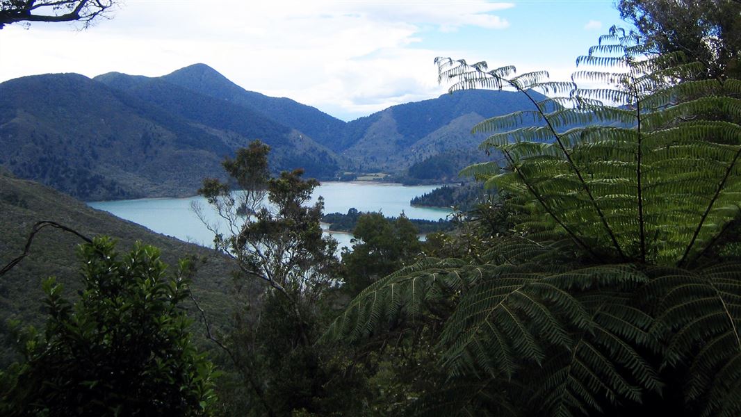
The 27 km Nydia Track offers walkers and cyclists great views and varied track conditions. Plan on an overnight stop at Nydia Bay where you can explore the history and coastline.
The route
The Nydia Track is a 2-day tramping or 5-8 hr mountain biking track. It passes through lush coastal and regenerating forest, climbs two saddles with superb views and crosses farmland. There are many unbridged stream crossings and one unbridged river crossing on the track. They are not always safe to cross, especially during/after heavy rain. Assess them carefully before crossing; if in doubt, do not cross. The track is mainly unformed. It is rocky, rough and uneven with large tree roots. Sections are slippery and muddy. Wear sturdy tramping boots and take care.
Duncan Bay to Nydia Bay campsite (4 hr)
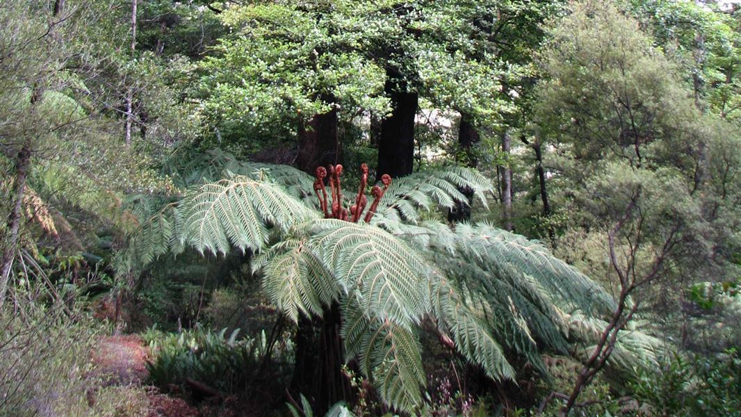
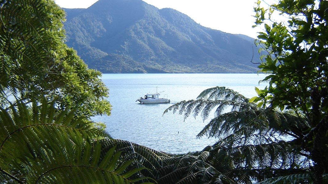
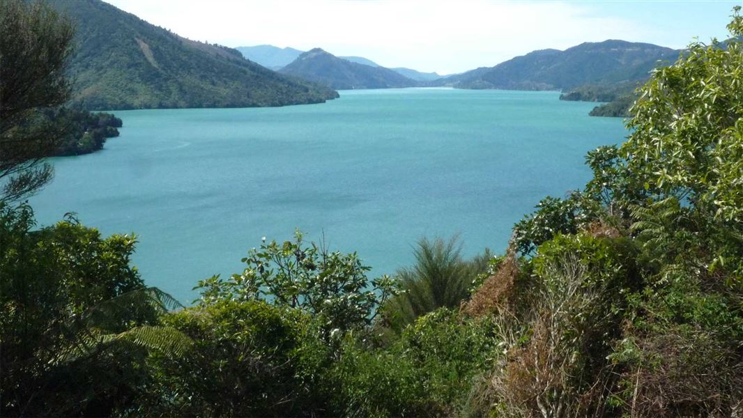
The first hour follows the shoreline with glimpses of the sea through lush coastal forest - giant rimu, nīkau, beech trees and tree ferns. Pipi Beach, 15 min from the track start, is a good picnic spot. At Ngawhakawhiti Bay the track climbs to Nydia Saddle (347 m) - take in the great views of Tennyson Inlet. The track then drops steeply down to the campsite in Nydia Bay. On this shady, southern side of the saddle, the track is damp with numerous deep gulleys making mountain biking a little treacherous.
Nydia campsite to Nydia Lodge turn-off (1 hr 30 min)
From the Nydia Bay campsite the track undulates through regenerating native forest, in places crossing private land. Just before the lodge turn-off you have to ford a wide stream. Nydia Lodge is a 30 min walk around the shore from the turn-off. Nydia Lodge sleeps up to 50 people (bookings required and minimum charges may apply).
Nydia Lodge turn-off to Kaiuma Bay (4 hr)
At the turn-off the track leads across open farmland beside the stream, crossing it twice. The climb to Kaiuma Saddle (387 m) through beech forest and regenerating scrub has superb views, including of Marlborough’s highest mountain, Tapuae-o-Uenuku (2885 m), in the distant Inland Kaikoura mountains. The track in this section is narrow and has many steep drop offs. From the saddle, the track drops quickly to cross a stream. The track then climbs a little into the forest and sidles around to a point above Kaiuma Bay, before dropping to the car park.
Mountain biking
This is a bike ride for those who like a challenge. The track is quite technical and rough, with many rocks and roots to negotiate. In wet weather it is very slippery and best not attempted. The track is best ridden from the Tennyson Inlet end. Allow 5 to 8 hr; longer if you don't have transport to both road ends. This is a shared-use track. Follow the mountain bikers code : respect others, respect the rules, respect the track.
Source: DOC Te Papa Atawhai.
Know before you go
Stay safe when crossing rivers and streams
If you plan to cross unbridged rivers or side streams, know how to cross safely and be prepared for if you cannot cross. Do not cross if the river or stream is flooded, you cannot find safe entry and exit points or are unsure it’s safe. Turn back or wait for the river to drop. If in doubt, stay out. How to cross rivers safely NIWA river flow forecasts: View a video of national followed by regional river flows
Water safety
If you plan to enjoy the water, learn how to stay safe when swimming, boating and fishing .
Source: DOC Te Papa Atawhai.
Nearby stops
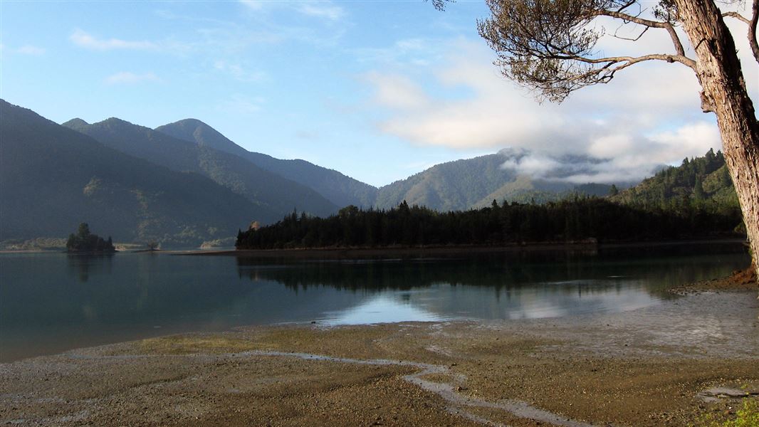
Opouri Saddle
Marlborough • 5.8 km
Opouri Saddle is on Tennyson Inlet Road near Duncan Bay, within Tennyson Inlet Scenic Reserve and Mount Richmond Forest Park. Certified self-contained vehicles…
Harvey Bay Campsite
Standard • Marlborough • 6.7 km
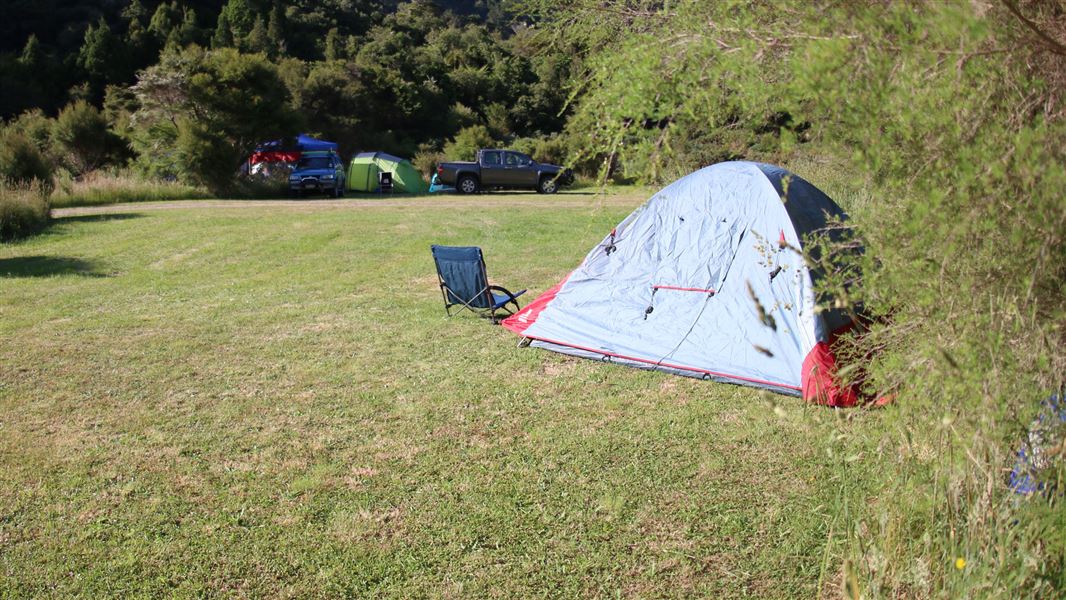
Harvey Bay Campsite is a large, flat, and sheltered area in Marlborough. It serves as a base for exploring Tennyson Inlet and the surrounding region by boat,…
Non-powered/tent sites • Water from tap - not treated, boil before use • Toilets - non-flush
Pipi Beach Campsite
Backcountry • Marlborough • 6.9 km
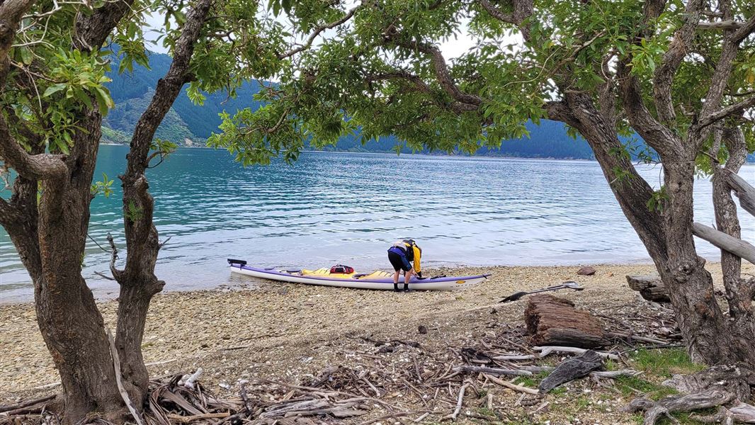
Pipi Beach Campsite is a scenic campsite in Marlborough. It serves as a base for water-based activities and picnicking.
Non-powered/tent sites • Water from tap - not treated, boil before use • Toilets - non-flush
Putanui Point Campsite
Backcountry • Marlborough • 9.1 km
Putanui Point Campsite is a campsite in Marlborough that is popular with sea kayakers. It features a small, rocky beach.
Non-powered/tent sites • Water from tap - not treated, boil before use • Toilets - non-flush
Matai Bay Hut
6 bunks • Marlborough • 9.2 km
Matai Bay Hut is a backcountry hut located in the Marlborough region of New Zealand. The provided records do not list specific facilities, capacity, or access…
Walks nearby
Notes from people who have been
No notes yet. If you have been, say what you found.
Something missing or out of date?
Closed, moved, wrong facts, or something we have missed? Travellers keep the Road Guide up to date. Tell us what you found at contribute@parkup.nz and we will check it and add it.
Ask us to take this down
A person reads every request. We do not remove a place until we have checked it.
Sources
- DOC Tracks (API) · CC BY 4.0Crown Copyright: Department of Conservation Te Papa Atawhai. Data sourced from the DOC Developer Portal (api.doc.govt.nz).