Archer Track
WalkMarlboroughOpen
- Grade
- Easy
- Walking time
- 3 hr 30 min
- Distance
- 9 km
- Route
- One way
- Biking time
- Under 4 hours
- Dogs
- DOC permit only
Access: read before you go
This track passes through private land in places. Ensure you respect the private land by staying on the track and keeping your dogs on leads.
Source: DOC Te Papa Atawhai.
Getting there
We have not checked a road end or car park for this place yet, so we do not give driving directions to it. Check how to get there before you go. Some routes cross private land and need the landowner's permission.
How to get there, on doc.govt.nzYou can get to this track by turning off SH6 near Rai Valley onto Ronga Road then right into Opouri Road. Follow the road over Opouri Saddle then turn left onto Archer Road and drive to Penzance where the track starts.
You can also start the track from Elaine Bay which is accessed from the road to French Pass.
Water taxi services are available from Havelock. You can also hire yachts, launches, motor boats, and sea kayaks.
Source: DOC Te Papa Atawhai.
Map
Map data © OpenStreetMap contributors. Topo map: LINZ, CC BY 4.0. 41.07178° S, 173.77717° E
About this place
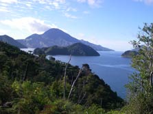
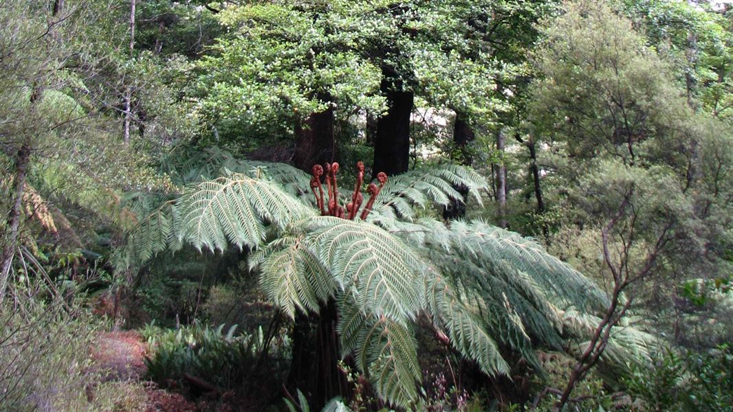
This walking and mountain biking track passes through native and pine forest from Penzance Bay to Elaine Bay.
The route
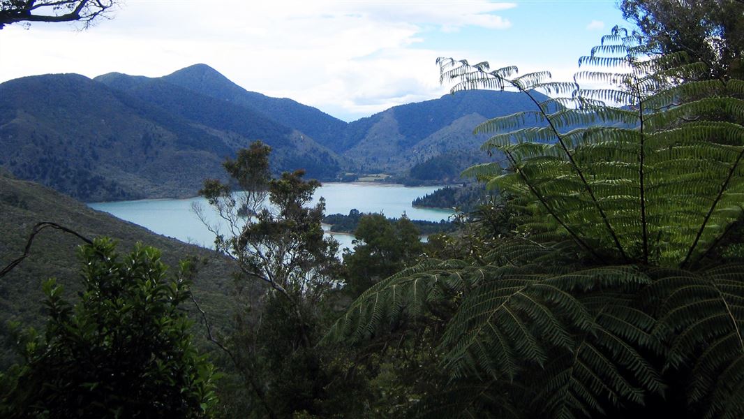
Allow 1 hour 30 minutes to Deep Bay which is half way, or 3 hours to walk the whole track. Enjoy stunning views of Tennyson Inlet and islands from this track. The bush goes right to the coast along part of the track and then opens out into pine forest closer to Elaine Bay.
Mountain biking
You can mountain bike on Archer Track. The Kennett Brothers book "Classic New Zealand Mountain Bike Rides" has the track classified easy to advanced.
Source: DOC Te Papa Atawhai.
Know before you go
Private land
This track passes through private land in places. Ensure you respect the private land by staying on the track and keeping your dogs on leads.
Water safety
If you plan to enjoy the water, learn how to stay safe when swimming, boating and fishing .
Source: DOC Te Papa Atawhai.
Nearby stops

Elaine Bay Campsite
Standard • Marlborough • 1.9 km
Elaine Bay Campsite is a campsite in the Marlborough region that serves as a base for exploring Pelorus Sound by boat. It also provides access to nearby tracks…
Jetty • Non-powered/tent sites • Water from tap - not treated, boil before use
Matai Bay Hut
6 bunks • Marlborough • 3.3 km
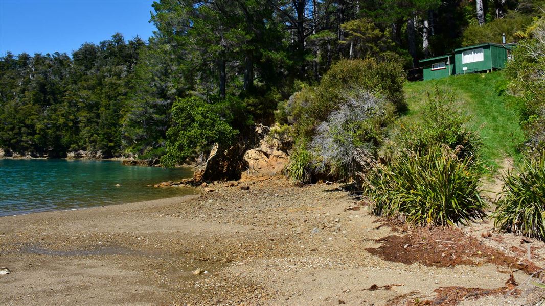
Matai Bay Hut is a backcountry hut located in the Marlborough region of New Zealand. The provided records do not list specific facilities, capacity, or access…
Tawa Bay Campsite
Backcountry • Marlborough • 3.9 km
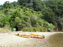
Tawa Bay Campsite is a scenic campsite in the Marlborough region. It is well suited for kayaks and other boating activities.
Non-powered/tent sites • Water from tap - not treated, boil before use • Toilets - non-flush
Harvey Bay Campsite
Standard • Marlborough • 6.2 km
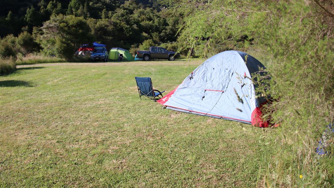
Harvey Bay Campsite is a large, flat, and sheltered area in Marlborough. It serves as a base for exploring Tennyson Inlet and the surrounding region by boat,…
Non-powered/tent sites • Water from tap - not treated, boil before use • Toilets - non-flush
Opouri Saddle
Marlborough • 8.4 km
Opouri Saddle is on Tennyson Inlet Road near Duncan Bay, within Tennyson Inlet Scenic Reserve and Mount Richmond Forest Park. Certified self-contained vehicles…
Walks nearby
Notes from people who have been
No notes yet. If you have been, say what you found.
Something missing or out of date?
Closed, moved, wrong facts, or something we have missed? Travellers keep the Road Guide up to date. Tell us what you found at contribute@parkup.nz and we will check it and add it.
Ask us to take this down
A person reads every request. We do not remove a place until we have checked it.
Sources
- DOC Tracks (API) · CC BY 4.0Crown Copyright: Department of Conservation Te Papa Atawhai. Data sourced from the DOC Developer Portal (api.doc.govt.nz).
- DOC Tracks & Trails · CC BY 4.0Data sourced from the Department of Conservation (DOC), New Zealand.