Myttons Hut
Basic/bivvies hutCobb Valley, TasmanOpen
Current advisories
Predator control in Cobb area of Kahurangi National Park
30 June 2026
A predator control operation using toxic bait containing 1080 was completed on 1 July 2026. The Cobb area of Kahurangi National Park is open. See the pesticide summary map for the operation area. There may be toxic carcasses and bait (green coloured pellets) in the area. It's not safe to hunt for food in this area for up to 8 months. Warning signs and this web alert will be removed when the area is safe again. This operation is part of DOC's National Predator Control Programme to protect native species. First published on 15 May 2026. Last reviewed on 1 July 2026.
Source: DOC Te Papa Atawhai alerts.
- Sleeps
- 4 bunks
- Booking
- Not bookable
- Cost
- Free
- Heating
- Yes
- Drinking water
- Boil first
- Toilet
- Non-flush
Getting there
We have not checked a road end or car park for this place yet, so we do not give driving directions to it. Check how to get there before you go. Some routes cross private land and need the landowner's permission.
How to get there, on doc.govt.nzMap and tracks
Track lines: DOC Te Papa Atawhai. Map data © OpenStreetMap contributors. Topo map: LINZ, CC BY 4.0. 41.13565° S, 172.62144° E
About this place
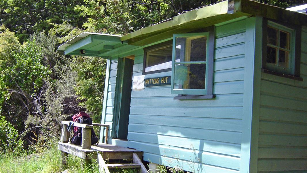
This is a basic 4-bunk hut in the Golden Bay area.
On the way here
Lake Peel Track · 5 hr 30 min one way
Cobb Reservoir to Lake Peel
A good day walk option, it is 2 hours and 30 minutes (5 km) to Lake Peel from the car park at the head of the Cobb Reservoir. The track starts with a short walk (10 minutes) to Myttons Hut. Beyond the hut, the tramping track winds steadily up to Peel Ridge (1 hour 30 minutes to 2 hours). It crosses the ridge and then drops down, before sidling around to the beautiful ice-sculptured basin that holds Lake Peel.
Source: DOC Te Papa Atawhai.
Fees and bookings
Free
Source: DOC Te Papa Atawhai.
Nearby stops

Balloon Hut
Serviced • 14 bunks • Tasman • 3.7 km
Balloon Hut is a serviced 14-bunk hut located in the Motueka area of the Tasman region.
Heating • Mattresses • Toilets - non-flush

Cobb River Campsite
Basic • Tasman • 0.9 km
Cobb River Campsite is located in the Tasman region and offers a place to camp beside the Cobb River. The river provides opportunities for swimming and fishing.
Fire pit/place for campfires (except in fire bans) • Non-powered/tent sites • Water from stream
Trilobite Hut
Standard • 12 bunks • Tasman • 1.2 km
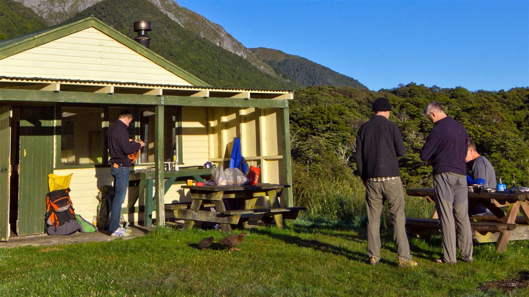
Trilobite Hut is a standard 12-bunk hut located in the Golden Bay area of the Tasman region.
Heating • Mattresses • Toilets - non-flush
Sylvester Hut
Serviced • 12 bunks • Tasman • 3.8 km
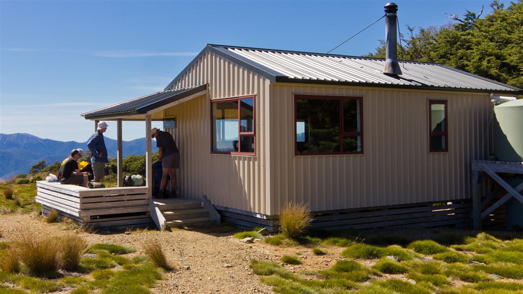
Sylvester Hut is a serviced 12-bunk hut located in the Golden Bay area of the Tasman region.
Heating • Mattresses • Toilets - non-flush
Asbestos Cottage
Basic/bivvies • 4 bunks • Tasman • 6 km
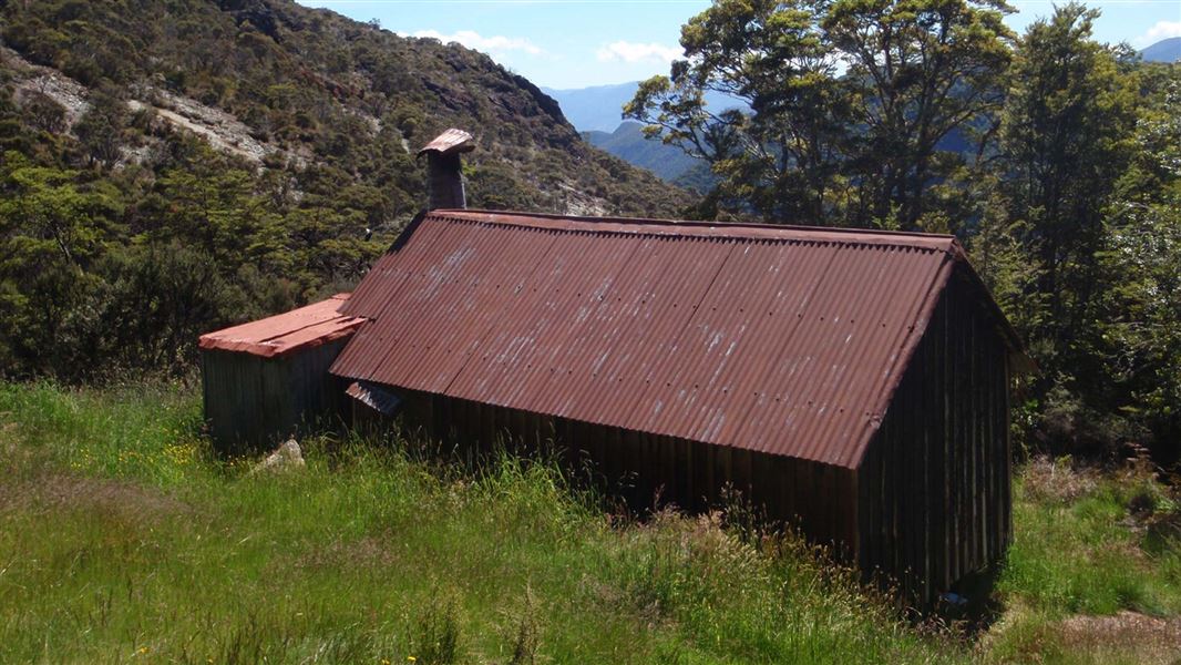
Asbestos Cottage is a historic hut in Kahurangi National Park that was built in 1897 and had remedial work completed in 1997. It provides accommodation for…
Heating • Mattresses • Toilets - non-flush
Walks nearby
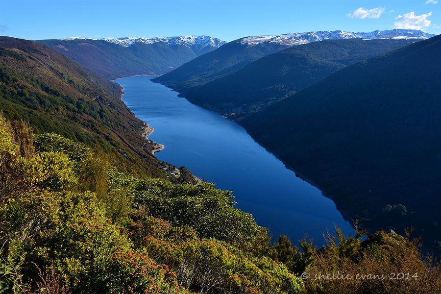
Cobb Ridge Route
Expert • 6 hr one way • 13 km one way • 3.14 km away
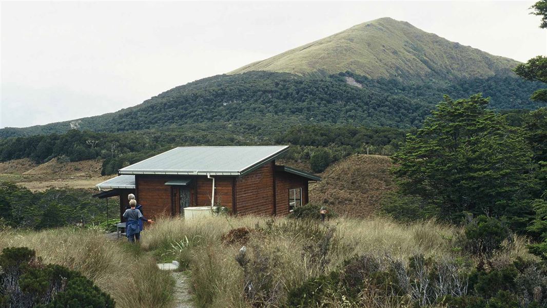
Salisbury Track
Easy • 4 hr one way • 14 km • 5.7 km away
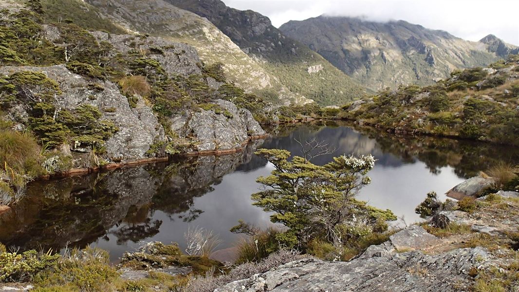
Cobb Valley Track
Advanced • 4–5 hr one way • 13 km • 6.84 km away
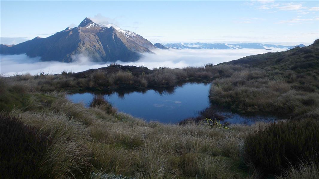
Leslie-Karamea Track
Advanced • 6 to 9 days one way • 91 km • 9.51 km away
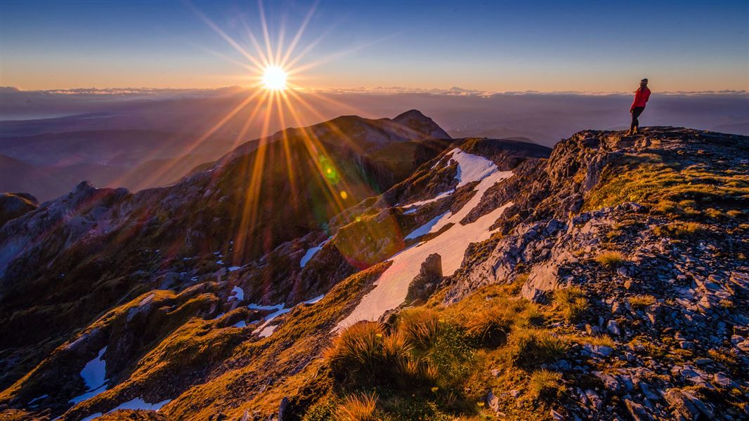
Mount Arthur Summit Route
Expert • 3 hr 30 min - 4 hr 30 min one way • 9.2 km one way • 10.32 km away
Contact
Nelson/Tasman/Marlborough information
Regional DOC service centre.
Notes from people who have been
No notes yet. If you have been, say what you found.
Something missing or out of date?
Closed, moved, wrong facts, or something we have missed? Travellers keep the Road Guide up to date. Tell us what you found at contribute@parkup.nz and we will check it and add it.
Ask us to take this down
A person reads every request. We do not remove a place until we have checked it.
Sources
- DOC Huts (API) · CC BY 4.0Crown Copyright: Department of Conservation Te Papa Atawhai. Data sourced from the DOC Developer Portal (api.doc.govt.nz).
- OpenStreetMap Huts · ODbL (Open Database License)Contains information from OpenStreetMap, made available under the ODbL.
- DOC Huts · CC BY 4.0Data sourced from the Department of Conservation (DOC), New Zealand.