Lake Peel Track
WalkTasmanOpen
- Grade
- Advanced
- Walking time
- 5 hr 30 min
- Distance
- 12 km
- Dogs
- No dogs
Access: read before you go
The road is unsealed from the Cobb Power House - care is required and 4WD is recommended in winter due to ice and/or snow.
Source: DOC Te Papa Atawhai.
Getting there
We have not checked a road end or car park for this place yet, so we do not give driving directions to it. Check how to get there before you go. Some routes cross private land and need the landowner's permission.
How to get there, on doc.govt.nzThe track starts at the head of the Cobb Reservoir. Turn off SH 60 at Upper Takaka. Follow the Cobb Valley Road, then Cobb Dam Road, to the end (28 km).
The road is unsealed from the Cobb Power House - care is required and 4WD is recommended in winter due to ice and/or snow.
Source: DOC Te Papa Atawhai.
Map and tracks
Track lines: DOC Te Papa Atawhai. Map data © OpenStreetMap contributors. Topo map: LINZ, CC BY 4.0. 41.15771° S, 172.61490° E
About this place
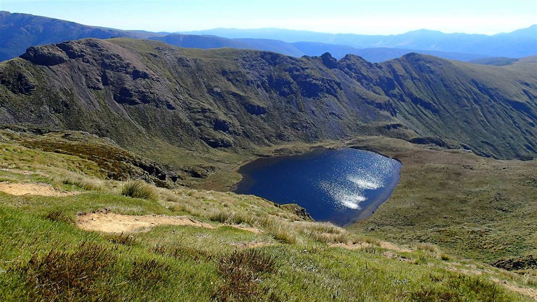
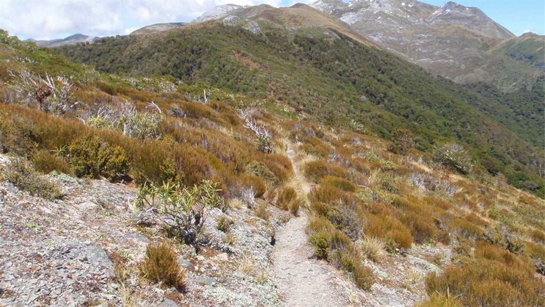
Walk to Salisbury Lodge via the beautiful Lake Peel. There are several huts along the way and Lake Peel is a good day walk destination.
The route
Cobb Reservoir to Lake Peel
A good day walk option, it is 2 hours and 30 minutes (5 km) to Lake Peel from the car park at the head of the Cobb Reservoir. The track starts with a short walk (10 minutes) to Myttons Hut. Beyond the hut, the tramping track winds steadily up to Peel Ridge (1 hour 30 minutes to 2 hours). It crosses the ridge and then drops down, before sidling around to the beautiful ice-sculptured basin that holds Lake Peel.
Lake Peel to Balloon Hut
From Lake Peel, a tramping track sidles up on to a ridge and then descends slowly to Balloon Hut (1 hour 30 minutes).
Balloon Hut to Salisbury Lodge
From Balloon Hut, it is an hour to Tableland and the junction with the Leslie-Karamea Track . Take a left at the junction to head to Salisbury Lodge, a further 30 minutes away. It is possible to continue your tramp and walk to the Flora Car park via the Tableland Circuit or Salisbury Track .
Source: DOC Te Papa Atawhai.
Joins these tracks
Source: DOC Te Papa Atawhai.
On this track
In walking order.


Nearby stops
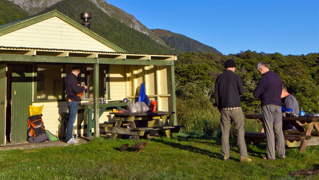
Trilobite Hut
Standard • 12 bunks • Tasman • 3.1 km
Trilobite Hut is a standard 12-bunk hut located in the Golden Bay area of the Tasman region.
Heating • Mattresses • Toilets - non-flush

Cobb River Campsite
Basic • Tasman • 3.2 km
Cobb River Campsite is located in the Tasman region and offers a place to camp beside the Cobb River. The river provides opportunities for swimming and fishing.
Fire pit/place for campfires (except in fire bans) • Non-powered/tent sites • Water from stream
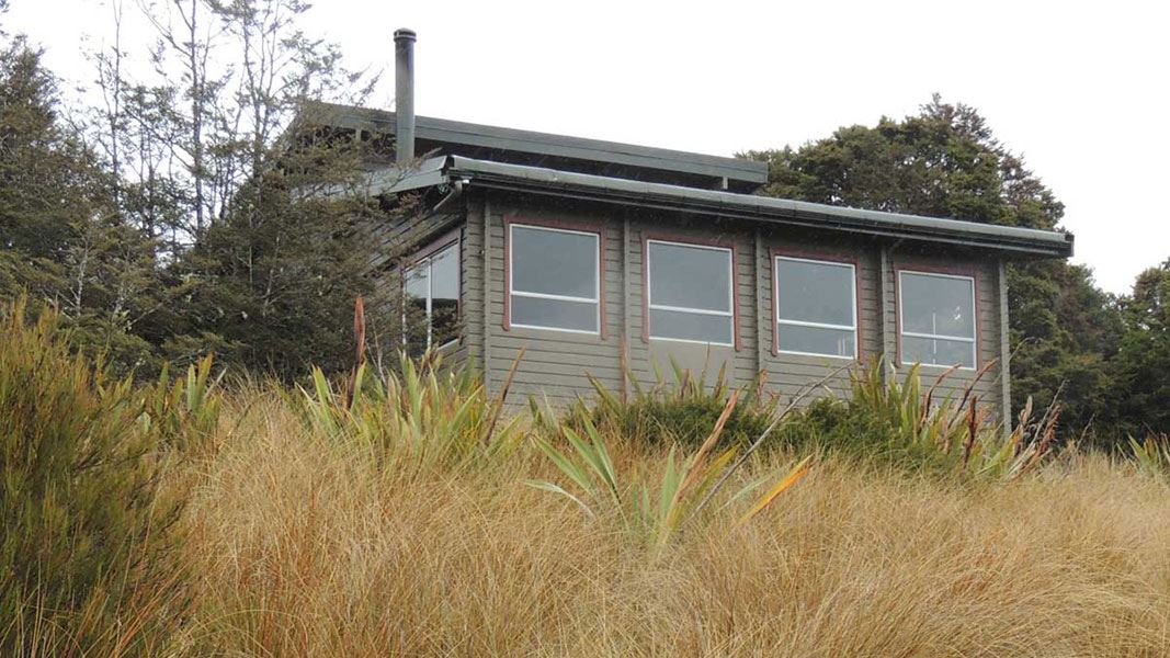
Salisbury Lodge
Serviced • 22 bunks • Tasman • 4.2 km
Salisbury Lodge is a serviced 22-bunk hut located in the Motueka area of the Tasman region.
Heating • Mattresses • Toilets - non-flush

Splugeons Rock Shelter
Basic/bivvies • 5 bunks • West Coast • 5.3 km
Splugeons Rock Shelter is a basic five-bunk hut located in the Motueka area of the Nelson/Tasman region.
Heating • Mattresses • Toilets - non-flush
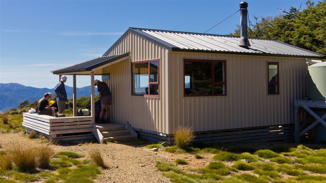
Sylvester Hut
Serviced • 12 bunks • Tasman • 6.2 km
Sylvester Hut is a serviced 12-bunk hut located in the Golden Bay area of the Tasman region.
Heating • Mattresses • Toilets - non-flush
Walks nearby
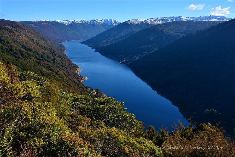
Cobb Ridge Route
Expert • 6 hr one way • 13 km one way • 4.56 km away
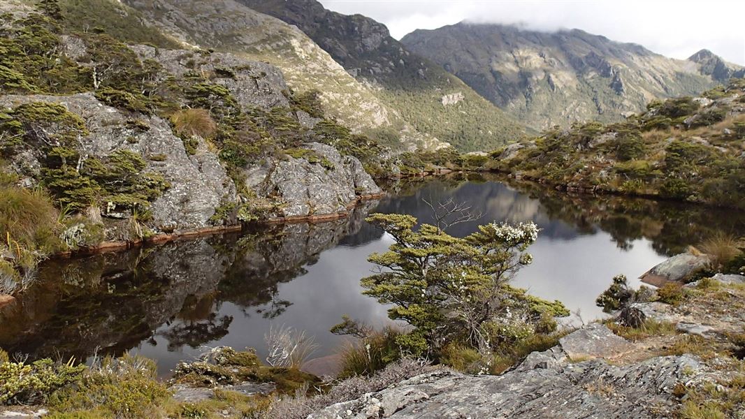
Cobb Valley Track
Advanced • 4–5 hr one way • 13 km • 8.52 km away
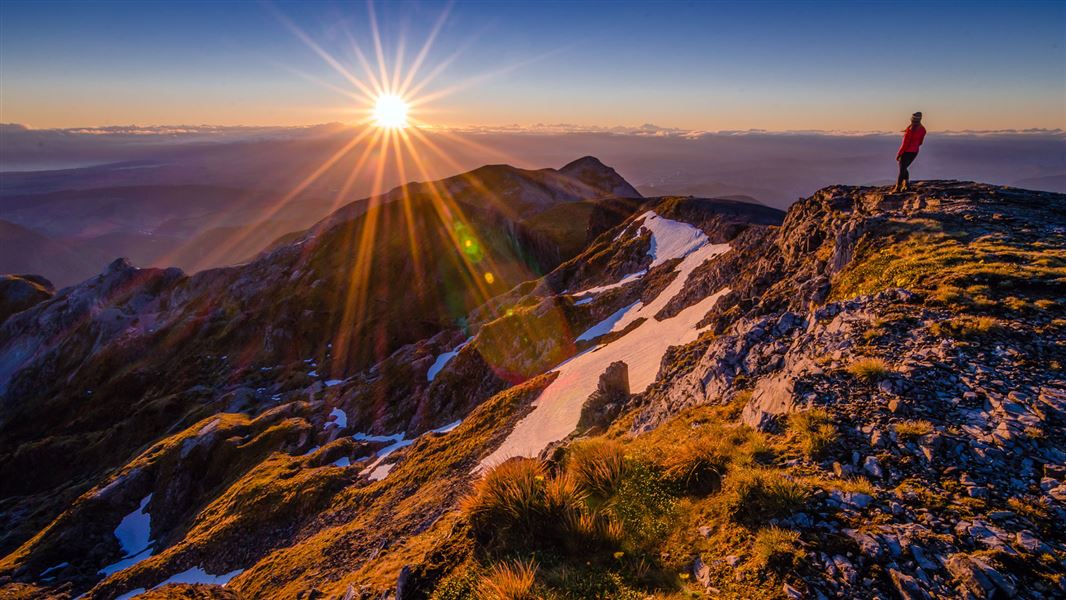
Mount Arthur Summit Route
Expert • 3 hr 30 min - 4 hr 30 min one way • 9.2 km one way • 9.13 km away
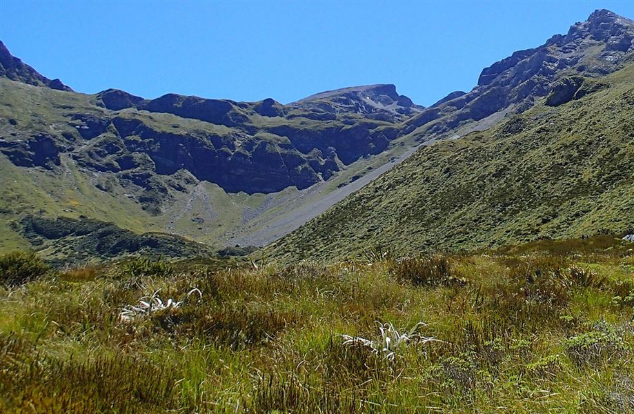
Ellis Basin Route
Expert • 2 days • 22 km • 9.9 km away
Flora Circuit (via Mt Arthur Hut and Flora Hut)
Easy • 4 hrs • 10 km • 9.92 km away
Notes from people who have been
No notes yet. If you have been, say what you found.
Something missing or out of date?
Closed, moved, wrong facts, or something we have missed? Travellers keep the Road Guide up to date. Tell us what you found at contribute@parkup.nz and we will check it and add it.
Ask us to take this down
A person reads every request. We do not remove a place until we have checked it.
Sources
- DOC Tracks & Trails · CC BY 4.0Data sourced from the Department of Conservation (DOC), New Zealand.
- DOC Tracks (API) · CC BY 4.0Crown Copyright: Department of Conservation Te Papa Atawhai. Data sourced from the DOC Developer Portal (api.doc.govt.nz).