Mount Sunday Track
WalkCanterbury
- Grade
- Easy
- Walking time
- 30 min
- Distance
- 1.5 km
- Dogs
- No dogs
Getting there
We have not checked a road end or car park for this place yet, so we do not give driving directions to it. Check how to get there before you go. Some routes cross private land and need the landowner's permission.
How to get there, on doc.govt.nzThe track starts on Hakatere Potts Road, about 48 km west of Mount Somers. Leave Mount Somers on Ashburton Gorge Road, which becomes Hakatere Potts Road.
Source: DOC Te Papa Atawhai.
Map
Map data © OpenStreetMap contributors. Topo map: LINZ, CC BY 4.0. 43.54603° S, 170.89870° E
About this place
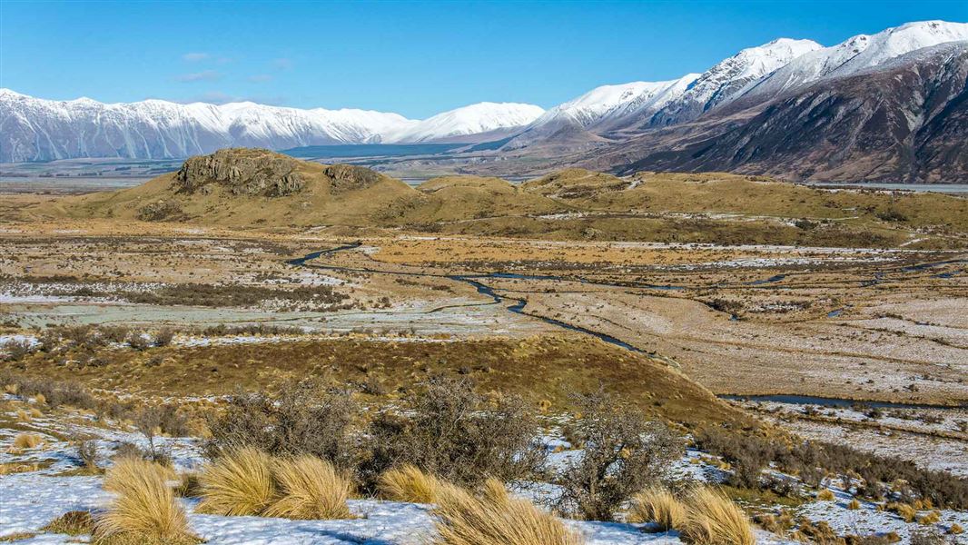
Walk to the top of Mount Sunday for expansive views of the surrounding countryside.
The route
Mount Sunday is a stunning site with expansive views of the Rangitata River and the surrounding mountains. The small hill got its name because boundary riders from the high-country stations would meet here on Sundays. More recently it was the film site for Edoras in the movie The Lord of the Rings: The Two Towers.
Source: DOC Te Papa Atawhai.
Nearby stops
Erewhon Hut
12 bunks • Canterbury • 6.2 km
Black Mountain Hut
Canterbury • 6.3 km
Black Mountain Hut is a backcountry hut located in the Canterbury region of New Zealand. The provided data does not include specific details regarding its…
Dog Kennel Bivvy
Basic/bivvies • 2 bunks • Canterbury • 8.3 km
Dog Kennel Bivvy is a basic bivouac shelter located in the Mid and South Canterbury area.
Mattresses • Toilets - non-flush • Water from stream
Potts Hut
Basic/bivvies • 10 bunks • Canterbury • 8.4 km
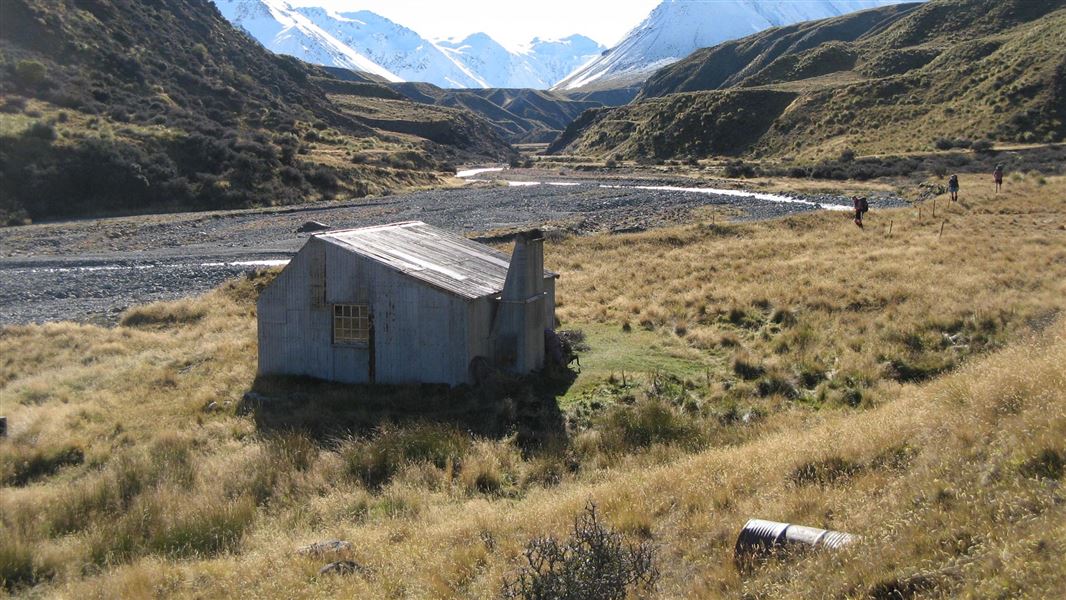
Potts Hut is a basic hut located in the Mid and South Canterbury area of the Canterbury region.
Heating • Mattresses • Toilets - non-flush
Clyde Hut
Canterbury • 11.6 km
Clyde Hut is a mountain hut located in the Canterbury region of New Zealand. It serves as a shelter for hikers and climbers in the area.
Walks nearby
Mt Potts Easement Track to Mt Potts Conservation Area boundary
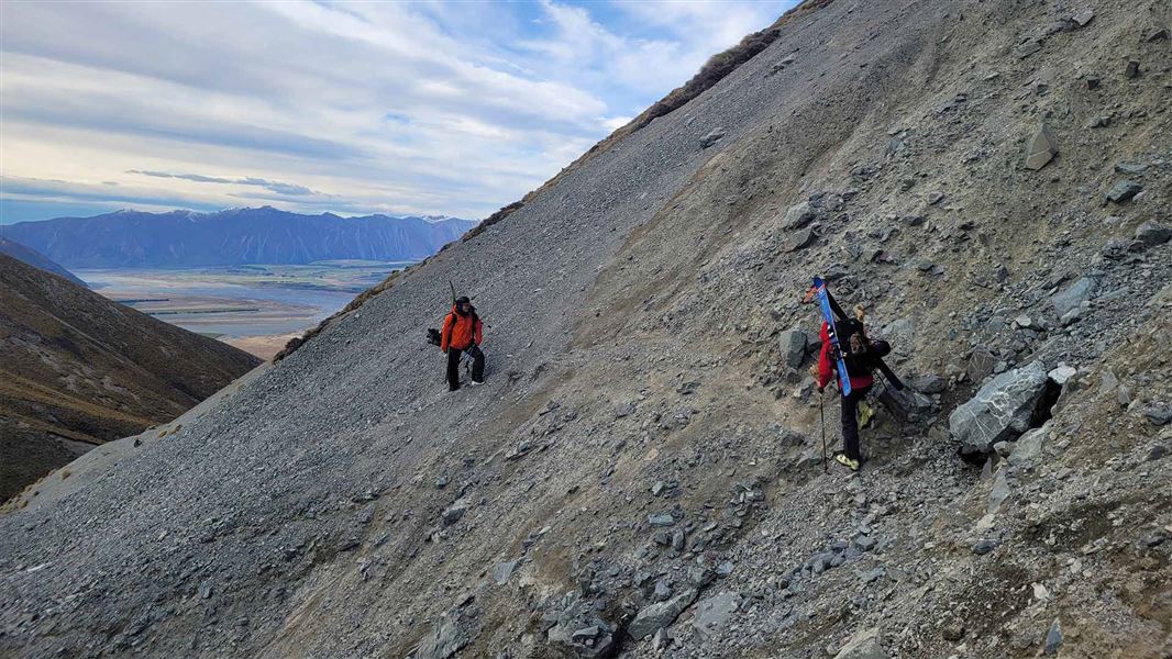
Advanced • 30 min one way • 1.5 km to Mt Potts Conservation Area boundary • 1.63 km away
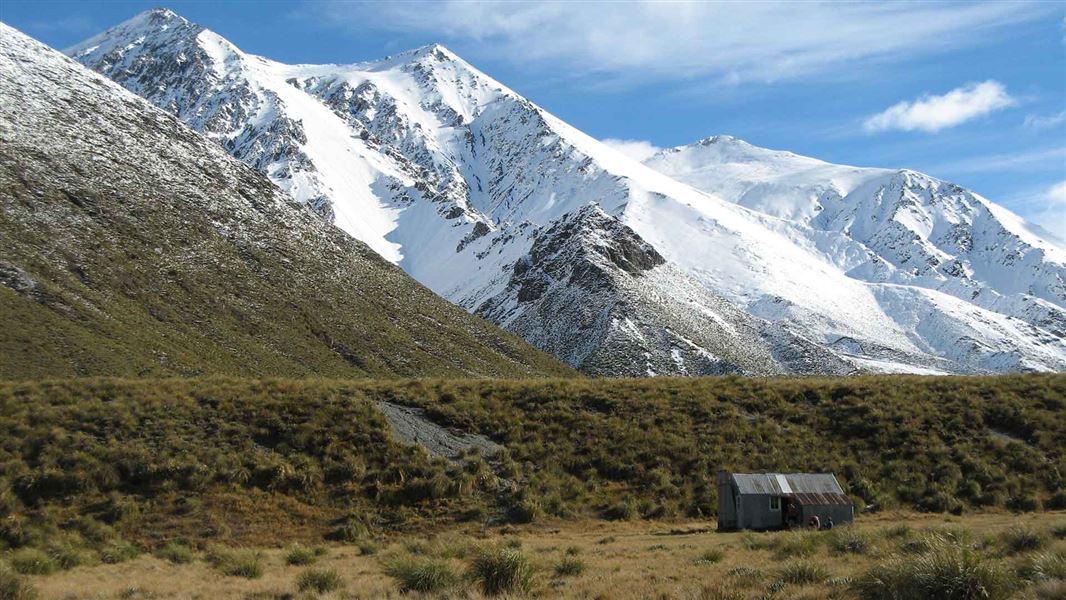
Potts Hut Track
Advanced • 9 hr • 23 km • 9.65 km away
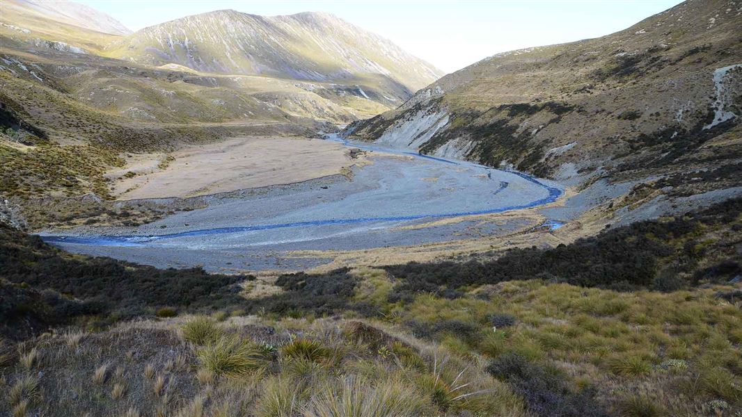
Mystery Lake Track
Advanced • 4 hr • 9.2 km • 10.83 km away
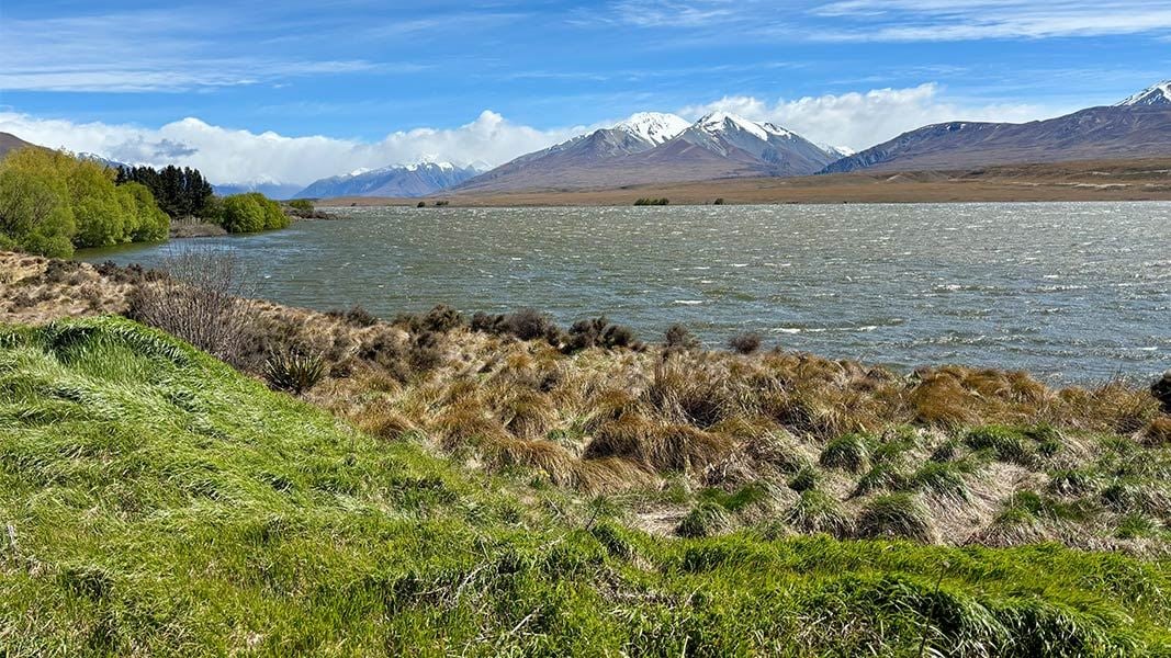
Lake Clearwater tracks
Easy • Various from 3 hr to 8 hr return • 14 km away
Notes from people who have been
No notes yet. If you have been, say what you found.
Something missing or out of date?
Closed, moved, wrong facts, or something we have missed? Travellers keep the Road Guide up to date. Tell us what you found at contribute@parkup.nz and we will check it and add it.
Ask us to take this down
A person reads every request. We do not remove a place until we have checked it.
Sources
- DOC Tracks (API) · CC BY 4.0Crown Copyright: Department of Conservation Te Papa Atawhai. Data sourced from the DOC Developer Portal (api.doc.govt.nz).