Lake Clearwater tracks
WalkCanterbury
- Grade
- Advanced
- Walking time
- 11 hr
- Dogs
- No dogs
Access: read before you go
During the winter season from May to October the 4WD road from the outlet is closed for driving but is still open for walking all the tracks.
Source: DOC Te Papa Atawhai.
Getting there
We have not checked a road end or car park for this place yet, so we do not give driving directions to it. Check how to get there before you go. Some routes cross private land and need the landowner's permission.
How to get there, on doc.govt.nzLake Clearwater is on Hakatere Potts Road, about 33 km west of Mount Somers. Leave Mount Somers on Ashburton Gorge Road, which becomes Hakatere Potts Road.
During the winter season from May to October the 4WD road from the outlet is closed for driving but is still open for walking all the tracks.
Winter season
During the winter season from May to October the 4WD road from the outlet is closed for driving but is still open for walking all the tracks.
Source: DOC Te Papa Atawhai.
Map
Map data © OpenStreetMap contributors. Topo map: LINZ, CC BY 4.0. 43.59824° S, 171.05687° E
About this place
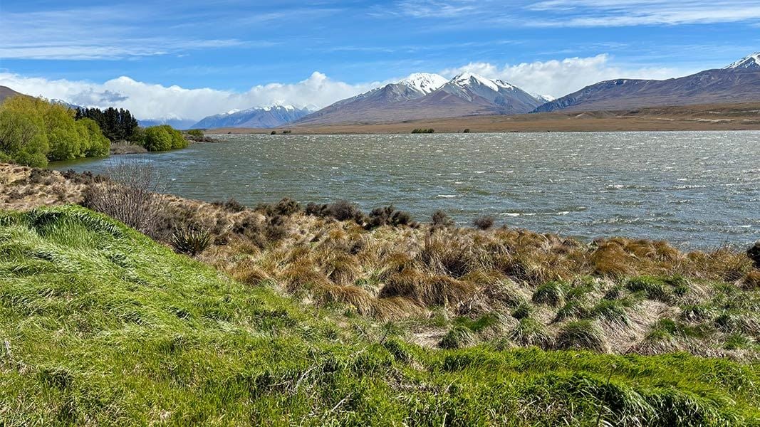
Enjoy views of Lake Clearwater from the lake shore or the nearby Mount Guy (1319 m).
The route
Lake Clearwater Circuit
Time: 3 hr
Track category: Walking track 10.3 km Walk or mountain bike around the lake shore. This is a shared-use track. Follow the mountain bikers code : respect others, respect the rules, respect the track.
Lake Clearwater to Mount Guy summit
Time: 3 hr one way
Track category: Tramping track 4.3 km Climb Mount Guy (1319 m) for fantastic views.
Lake Clearwater to Mystery Lake
Time: 4 hr one way
Track category: Tramping track 11.8 km The area around Mystery Lake is fascinating, with steep roche moutonnées (rocky ‘knobs’ smoothed by passing glaciers), jumbled scree and (surprising for such a treeless area) large Hall’s tōtara. Return the same way or continue to Potts River car park (4 hr, 9.2 km), another 7 km down Hakatere Potts Road.
Source: DOC Te Papa Atawhai.
Nearby stops
Freedom Camping for Self Contained Vehicles
Canterbury • 1.6 km
Freedom Camping for Self Contained Vehicles is a campsite in the Canterbury region. It provides a location for self-contained vehicles to camp.
Lake Emma Hut
Canterbury • 6.2 km
Lake Emma Hut is a basic accommodation facility located in the Canterbury region of New Zealand. It serves as a shelter for hikers and outdoor enthusiasts…

Boundary Creek Hut
Basic/bivvies • 8 bunks • Canterbury • 7.7 km
Boundary Creek Hut is a basic hut located in the Mid and South Canterbury area.
Heating • Mattresses
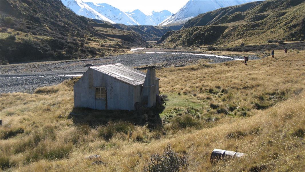
Potts Hut
Basic/bivvies • 10 bunks • Canterbury • 13.8 km
Potts Hut is a basic hut located in the Mid and South Canterbury area of the Canterbury region.
Heating • Mattresses • Toilets - non-flush
Lake Heron Camp
Canterbury • 14 km
Walks nearby
Buicks Bridge to Potts Bridge Track
Advanced • 7 hr • 21 km • 3.65 km away
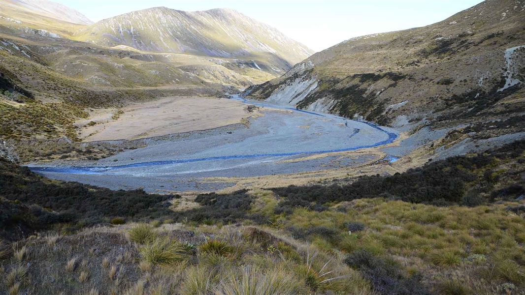
Mystery Lake Track
Advanced • 4 hr • 9.2 km • 5.92 km away
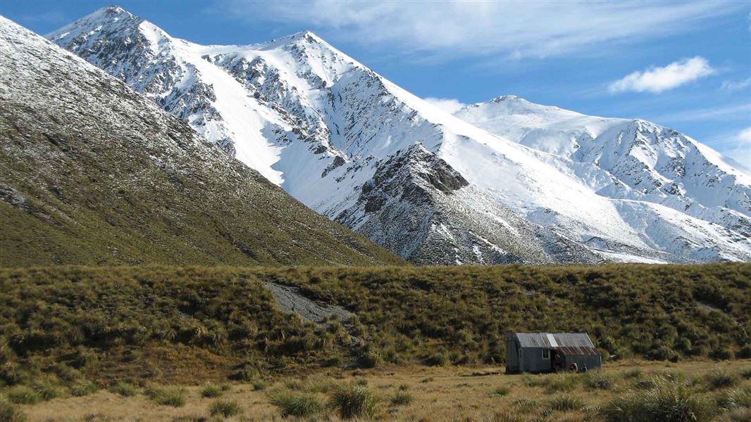
Potts Hut Track
Advanced • 9 hr • 23 km • 8.99 km away
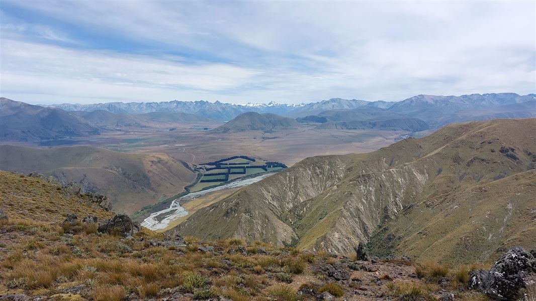
Mount Barrosa Track
Advanced • 2 hr 30 min one way • 3.5 km one way • 13.95 km away
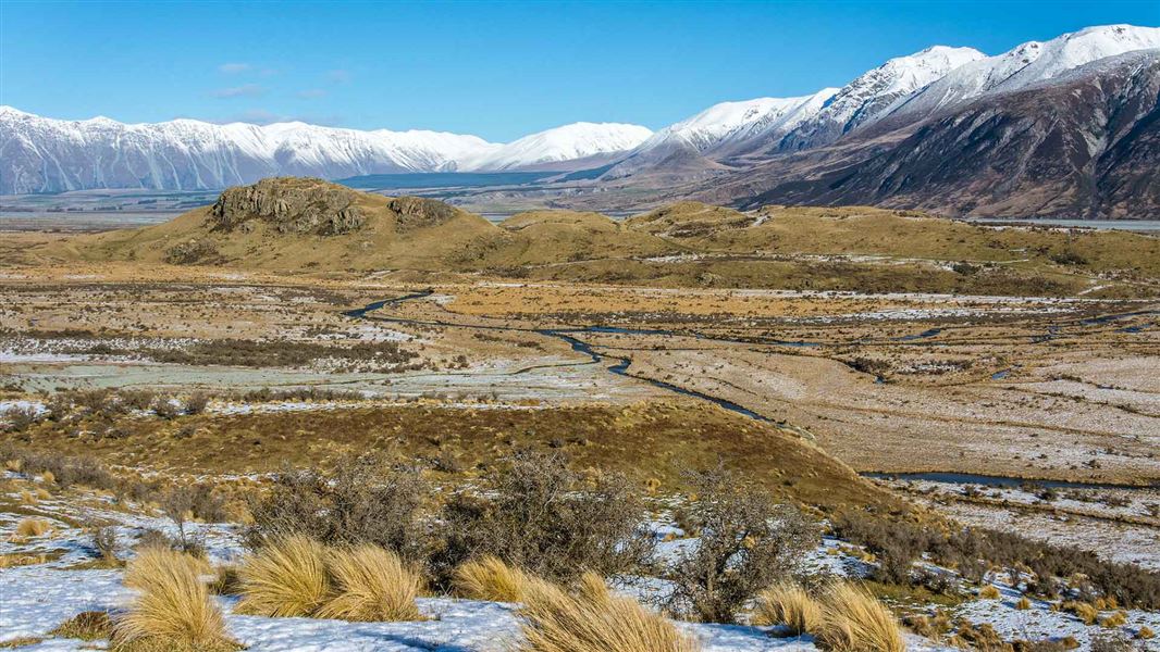
Mount Sunday Track
Easy • 30 min one way • 1.5 km • 14 km away
Notes from people who have been
No notes yet. If you have been, say what you found.
Something missing or out of date?
Closed, moved, wrong facts, or something we have missed? Travellers keep the Road Guide up to date. Tell us what you found at contribute@parkup.nz and we will check it and add it.
Ask us to take this down
A person reads every request. We do not remove a place until we have checked it.
Sources
- DOC Tracks (API) · CC BY 4.0Crown Copyright: Department of Conservation Te Papa Atawhai. Data sourced from the DOC Developer Portal (api.doc.govt.nz).