Mount Stokes Track
WalkMarlboroughOpen
- Grade
- Advanced
- Walking time
- 5 hr
- Route
- Return
- Dogs
- DOC permit only
Getting there
We have not checked a road end or car park for this place yet, so we do not give driving directions to it. Check how to get there before you go. Some routes cross private land and need the landowner's permission.
How to get there, on doc.govt.nzFrom Queen Charlotte Drive turn-off at Linkwater onto Kenepuru Road. The start of this track is 41 km from the turn-off at Linkwater. Kenepuru Road is narrow and winding.
Source: DOC Te Papa Atawhai.
Map
Map data © OpenStreetMap contributors. Topo map: LINZ, CC BY 4.0. 41.08683° S, 174.11960° E
About this place
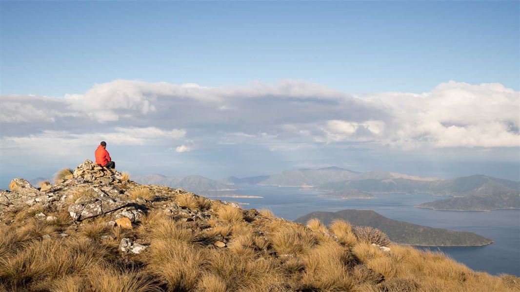
This tramping track in Kenepuru Sound follows a ridge to the summit (1203 m), the highest point in the Sounds.
The route
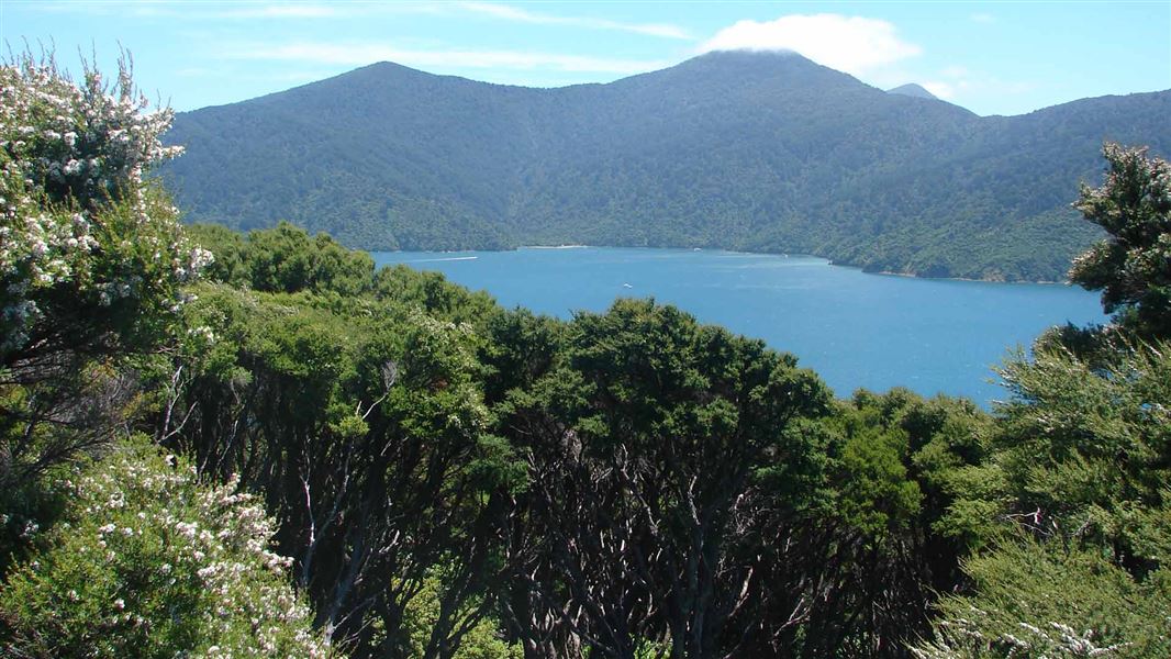
Walk to the the highest point in the Sounds and see a unique sub-alpine habitat with spectacular views.
Source: DOC Te Papa Atawhai.
Nearby stops
Madsen's Camp
Marlborough • 4.7 km
Top of the Inlet
Marlborough • 4.7 km
Miners Camp & Farmstay
Marlborough • 4.8 km
Miners Camp & Farmstay is a campsite located in the Marlborough region. The provided data does not list specific facilities or amenities for this site.

Camp Bay Campsite
Standard • Marlborough • 5.1 km
Camp Bay Campsite is located in a sheltered bay in Marlborough and offers fishing, boating, walking, and mountain biking. A nearby lodge provides a bar, small…
Non-powered/tent sites • Shelter for cooking • Toilets - flush
Waimaru Campsite
Standard • Marlborough • 7.4 km
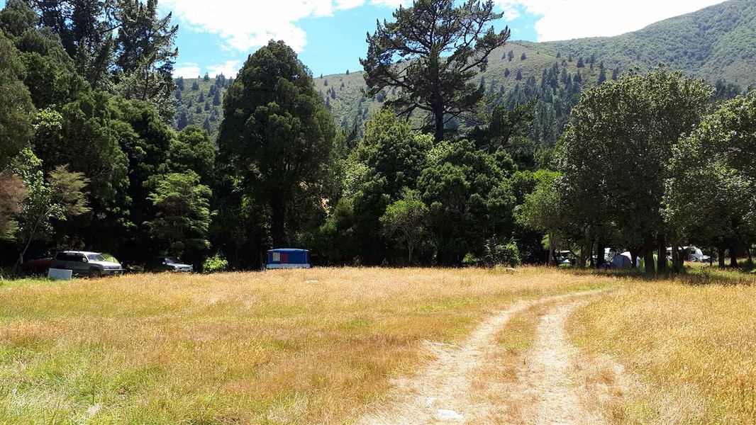
Waimaru Campsite is an isolated, road-end campsite located on the water's edge in the outer Pelorus Sound, Marlborough. It offers a remote setting suitable for…
Non-powered/tent sites • Water from tap - not treated, boil before use • Toilets - non-flush
Walks nearby
Notes from people who have been
No notes yet. If you have been, say what you found.
Something missing or out of date?
Closed, moved, wrong facts, or something we have missed? Travellers keep the Road Guide up to date. Tell us what you found at contribute@parkup.nz and we will check it and add it.
Ask us to take this down
A person reads every request. We do not remove a place until we have checked it.
Sources
- OpenStreetMap Trails · ODbL (Open Database License)Contains information from OpenStreetMap, made available under the ODbL.
- DOC Tracks (API) · CC BY 4.0Crown Copyright: Department of Conservation Te Papa Atawhai. Data sourced from the DOC Developer Portal (api.doc.govt.nz).
- DOC Tracks & Trails · CC BY 4.0Data sourced from the Department of Conservation (DOC), New Zealand.