Motuara Island Lookout Track
WalkMarlboroughOpen
- Grade
- Easy
- Walking time
- 40 min
- Distance
- 1.6 km
- Route
- One way
- Dogs
- No dogs
Getting there
We have not checked a road end or car park for this place yet, so we do not give driving directions to it. Check how to get there before you go. Some routes cross private land and need the landowner's permission.
How to get there, on doc.govt.nzMotuara Island lies in Queen Charlotte Sound opposite Ship Cove, approximately 32 km from Picton. You can get there with your own boat, by taking scenic cruise or by sea kayak. There is a jetty available.
Source: DOC Te Papa Atawhai.
Map
Map data © OpenStreetMap contributors. Topo map: LINZ, CC BY 4.0. 41.09629° S, 174.27309° E
About this place
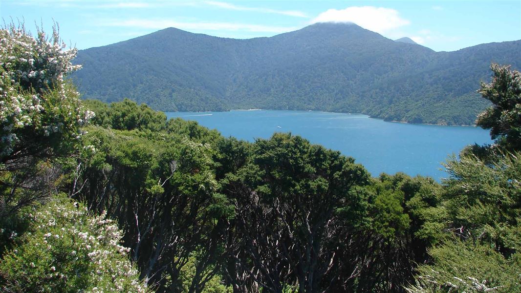
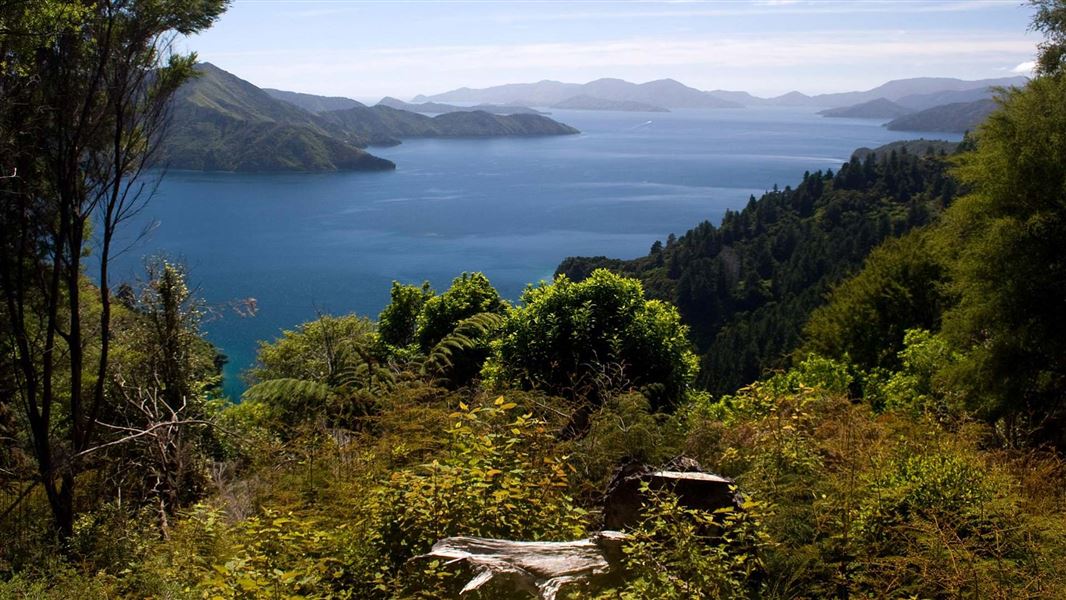
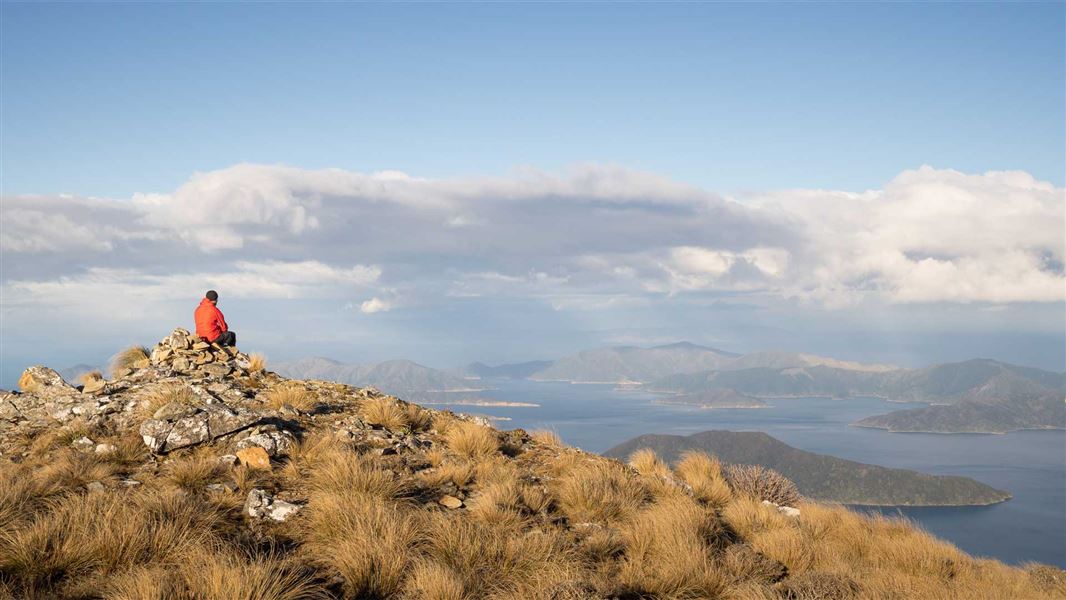
Experience stunning views over Queen Charlotte Sound and spot some native birds on this walk up to the island's summit.
The route
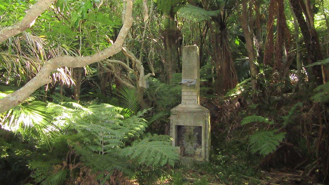
Follow the Motuara Lookout Track from the jetty to the viewing platform on the summit (128 m). Spend some time at the bird viewing station (5 minute walk from jetty), and Cook’s Cairn near the summit. This walk follows a moderate gradient sidling around the hill with several lookout points along the way. Experience stunning views over Queen Charlotte Sound and possibly spot some of the wildlife on the island. You could be lucky enough to see the cheeky South Island robin, endangered saddleback/tīeke or yellow-crowned parakeet/kākāriki.
Source: DOC Te Papa Atawhai.
Know before you go
Water safety
If you plan to enjoy the water, learn how to stay safe when swimming, boating and fishing .
Source: DOC Te Papa Atawhai.
Nearby stops

Cannibal Cove Campsite
Backcountry • Marlborough • 2.8 km
Cannibal Cove Campsite is a remote campsite located in the Marlborough region. It offers access to nearby hunting and water-based activities.
Non-powered/tent sites • Water from stream • Toilets - non-flush

Schoolhouse Bay Campsite
Backcountry • Marlborough • 4.4 km
Schoolhouse Bay Campsite is a sheltered, east-facing bay in the Marlborough region. It offers access to walking, boating, mountain biking, and fishing in the…
Non-powered/tent sites • Water from tap - not treated, boil before use • Toilets - non-flush
Miners Camp & Farmstay
Marlborough • 8.2 km
Miners Camp & Farmstay is a campsite located in the Marlborough region. The provided data does not list specific facilities or amenities for this site.
Madsen's Camp
Marlborough • 8.3 km
Top of the Inlet
Marlborough • 8.3 km
Walks nearby
Notes from people who have been
No notes yet. If you have been, say what you found.
Something missing or out of date?
Closed, moved, wrong facts, or something we have missed? Travellers keep the Road Guide up to date. Tell us what you found at contribute@parkup.nz and we will check it and add it.
Ask us to take this down
A person reads every request. We do not remove a place until we have checked it.
Sources
- DOC Tracks & Trails · CC BY 4.0Data sourced from the Department of Conservation (DOC), New Zealand.
- DOC Tracks (API) · CC BY 4.0Crown Copyright: Department of Conservation Te Papa Atawhai. Data sourced from the DOC Developer Portal (api.doc.govt.nz).