Mount Haast Route
WalkWest Coast
- Grade
- Expert
- Walking time
- 6 hr
- Distance
- 5 km
- Dogs
- DOC permit only
Getting there
We have not checked a road end or car park for this place yet, so we do not give driving directions to it. Check how to get there before you go. Some routes cross private land and need the landowner's permission.
How to get there, on doc.govt.nzDrive from Reefton or Springs Junction on SH7 to the Rahu Saddle. The track is well signposted from the highway with good pull offs and carparking.
Drive from Reefton or Springs Junction on SH7 to the Rahu Saddle. The track is well signposted from the highway with good pull offs and carparking.
Source: DOC Te Papa Atawhai.
Map
Map data © OpenStreetMap contributors. Topo map: LINZ, CC BY 4.0. 42.31020° S, 172.09398° E
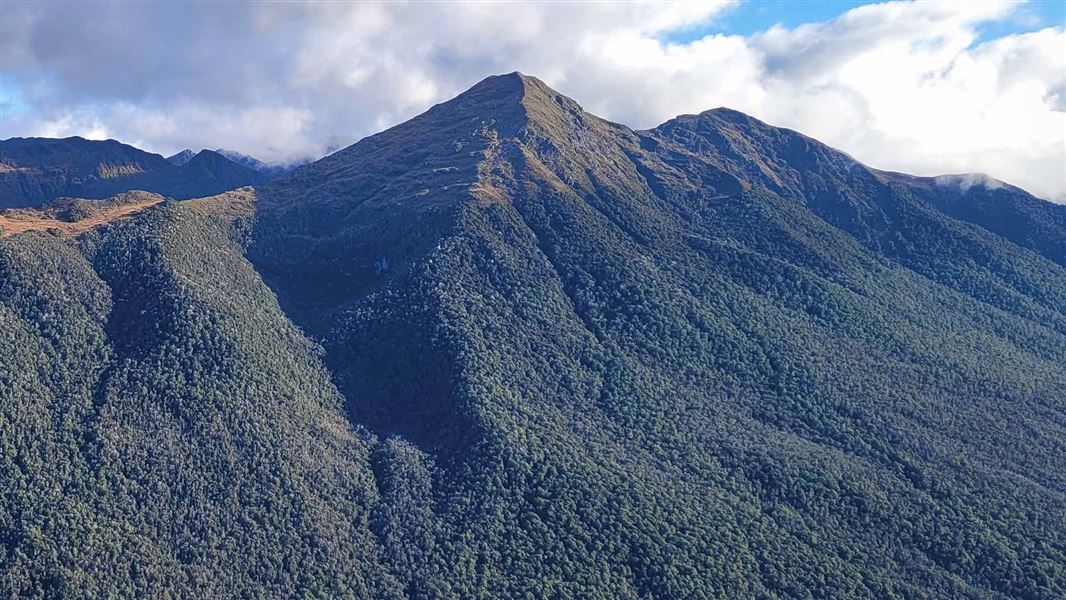
About this place
This is the fastest way to the bush line from Reefton.
The route
From a carpark beside the Upper Inangahua Bridge, there is a very steep two hour climb to the bushline on a well-formed route. It is another hour along the right-hand ridge to the pyramid-shaped peak of 1587 m Mt Haast which provides spectacular views of nearby glacial valleys and the Main Divide.
Source: DOC Te Papa Atawhai.
Nearby stops
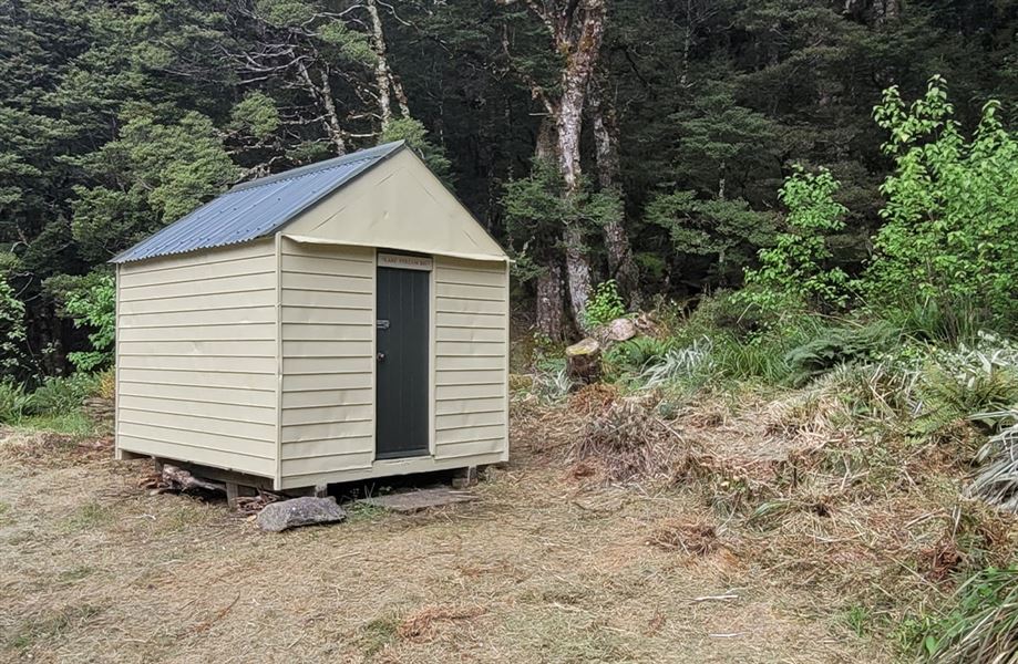
Lake Stream Hut
Basic/bivvies • 2 bunks • West Coast • 7.6 km
Lake Stream Hut is a basic two-bunk hut located in the Greymouth area of the West Coast.
Mattresses • Toilets - non-flush • Water from stream

Marble Hill Campsite
Standard • West Coast • 11.5 km
Marble Hill Campsite is located in the West Coast region and offers access to alpine scenery and red beech forests. The site is near the Maruia Hot Springs.
BBQ • Non-powered/tent sites • Water from tap - not treated, boil before use
Top Waitahu Bivvy
Basic/bivvies • 2 bunks • West Coast • 11.8 km
Top Waitahu Bivvy is a basic two-bunk hut located in the Greymouth area of the West Coast.
Mattresses • Toilets - non-flush • Water from stream
Blackadder Rest
West Coast • 14 km
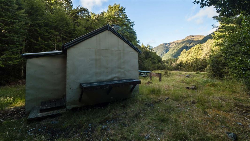
Lake Christabel Hut
Standard • 8 bunks • West Coast • 19.4 km
Lake Christabel Hut is a standard eight-bunk hut located in the Greymouth area of the West Coast.
Heating • Mattresses • Toilets - non-flush
Walks nearby
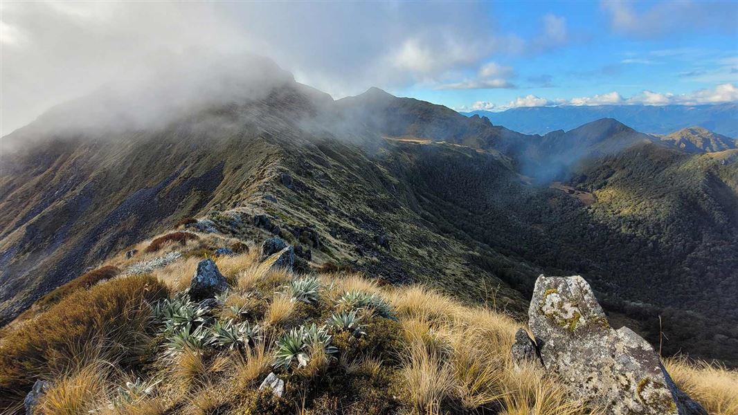
Klondyke Spur Track
Expert • 2 hr 30 min to bushline • 2 km • 2.36 km away
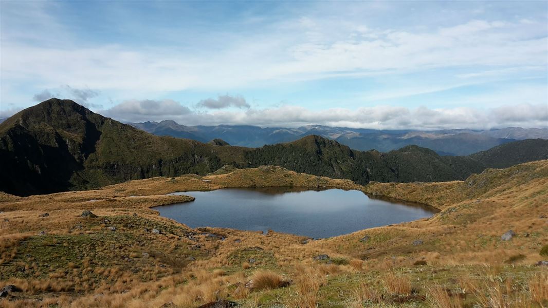
Klondyke Valley Track
Expert • 2 hr • 4.5 km • 3.14 km away
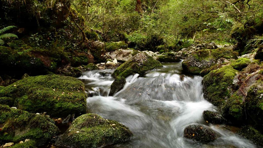
Duffy Creek Route
Expert • 3 hr return • 4.4 km • 4.25 km away
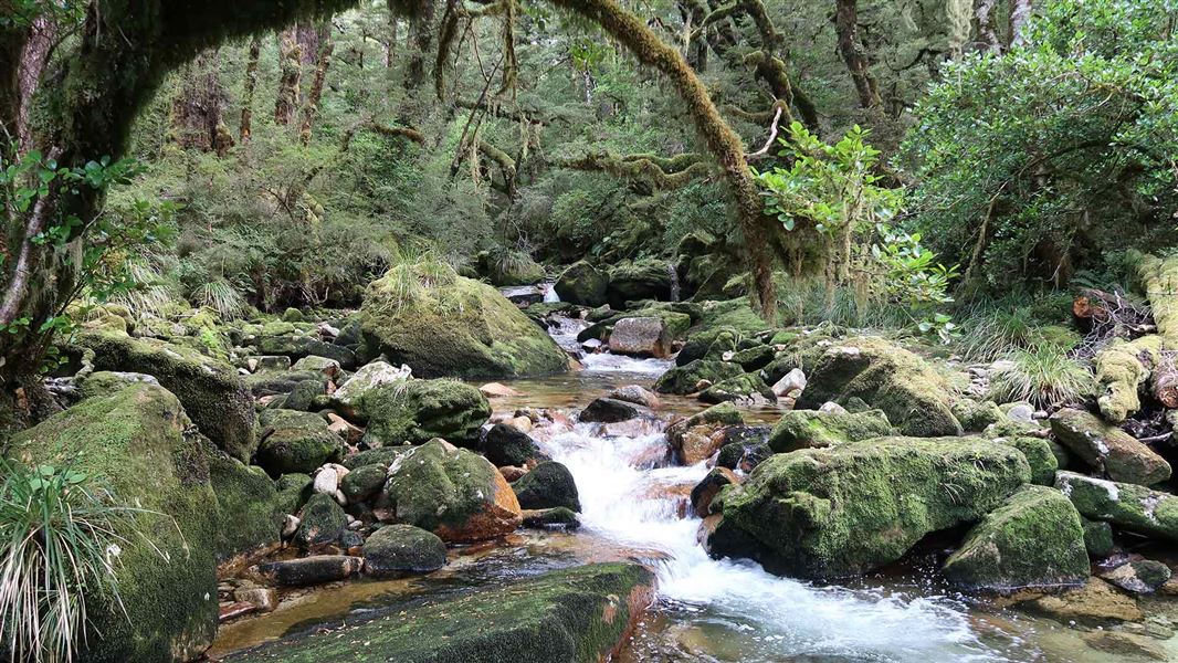
Lake Stream Route
Expert • 3 hr 30 min one way • 7.2 km to hut • 4.5 km away
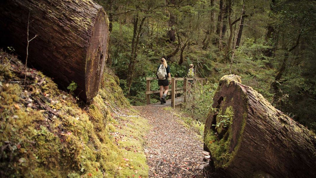
Lake Daniell Track
Intermediate • 3 hr one way • 8.4 km • 13.07 km away
Notes from people who have been
No notes yet. If you have been, say what you found.
Something missing or out of date?
Closed, moved, wrong facts, or something we have missed? Travellers keep the Road Guide up to date. Tell us what you found at contribute@parkup.nz and we will check it and add it.
Ask us to take this down
A person reads every request. We do not remove a place until we have checked it.
Sources
- DOC Tracks (API) · CC BY 4.0Crown Copyright: Department of Conservation Te Papa Atawhai. Data sourced from the DOC Developer Portal (api.doc.govt.nz).