Milford Track
WalkSouthland
- Grade
- Expert
- Walking time
- 4 days
- Distance
- 53.5 km
- Dogs
- No dogs
Getting there
We have not checked a road end or car park for this place yet, so we do not give driving directions to it. Check how to get there before you go. Some routes cross private land and need the landowner's permission.
How to get there, on doc.govt.nzThe Milford Track starts on Lake Te Anau. From Te Anau, take a bus or private transport to Te Anau Downs (30 minutes), then a boat trip to Glade Wharf at the head of Lake Te Anau (1 hour 15 minutes).
The track finishes at Sandfly Point on Milford Sound. Take a boat trip (20 minutes) to Milford Sound/Piopiotahi, where there are bus services back to Te Anau and on to Queenstown.
Transport must be booked in advance. There is no vehicle or private access to the start/end of the track.
View map of transport to book (PDF, 1,339K)
During the Great Walks season, full and partial transport packages are available from one of these independent operators. Contact the operator for further information.
Source: DOC Te Papa Atawhai.
Map
Map data © OpenStreetMap contributors. Topo map: LINZ, CC BY 4.0. 44.72587° S, 167.83675° E
About this place
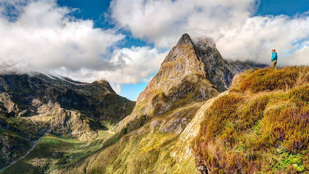
Take a journey through the heart of Fiordland during the November–April Great Walks season. Hike along valleys carved by glaciers, through ancient rainforests and past cascading waterfalls.
The route
Walking options
The Milford Track can only be walked in one direction over 3 nights and 4 days.
Guided options
Consider guided walks on the Milford Track (Visit Fiordland website) Explore with Google Street View | Watch videos
Places to stay
There are three huts on the Milford Track, which must be booked well in advance during the Great Walks season. Camping is not permitted on the Milford Track. Huts have bunks, mattresses, heating, toilets, basic cooking facilities, solar-powered lighting and cold running water. A DOC ranger is in residence. The huts do not provide cooking utensils or showers.
Day 1 – Glade Wharf to Clinton Hut
Time: 1–1 hr 30 min
km After a boat cruise from Te Anau Downs (1 hour 15 minutes), take a leisurely walk through beautiful beech forest along the banks of the Clinton River to Clinton Hut, where all walkers spend the first night. Once you arrive, take some time to checkout the great swimming holes near the hut, or take a short walk around the wetland boardwalk.
Side trip: Wetland Walkway
Time: 15 min return
A short side track is signposted 10 min before Clinton Hut. Guided walks with the DOC ranger maybe available during the late afternoon.
Day 2 – Clinton Hut to Mintaro Hut
Time: 6 hr
17.5 km A gradual climb follows the Clinton River to its source, Lake Mintaro, at the base of the renowned Omanui/McKinnon Pass. Past Hirere Falls you will get your first view of Omanui/McKinnon Pass and the impressive Pompolona icefield. You’ll be dwarfed by the sheer scale of the rock walls towering above on either side as you walk up the Clinton Valley, and will pass through changing vegetation as you climb higher towards Mintaro Hut.
Day 3 – Mintaro Hut to Dumpling Hut
Time: 6–7 hr
km Climb to Omanui/McKinnon Pass and the memorial to explorer Quintin McKinnon, with exceptional views of Lake Mintaro and the Clinton Canyon along the way. The memorial is a great place to take in the awe-inspiring panoramas, before reaching the highest point of the track and Omanui/McKinnon Pass Shelter (1154 m). From here, you’ll drop steadily through an attractive alpine garden to the valley floor, passing several waterfalls along the Roaring Burn River before arriving at Quintin Shelter. On the way to Dumpling Hut take a moment to admire Sutherland Falls in the distance.
Side trip – Sutherland Falls
Time: 1 hr 30 min return The side trip to Sutherland Falls is a definite highlight that is highly recommended and well worth the effort. The impressive falls drop 580 m in 3 leaps from Lake Quill.
Sutherland Falls on Google Street View
Day 4 – Dumpling Hut to Sandfly Point
Time: 5 hr 30 min – 6 hr
km From Dumpling Hut, follow Arthur River to the historic Boatshed. Further along the track, you will reach the dramatic Mackay Falls and intriguing Bell Rock. Admire the man-made rock cuttings alongside the Arthur River and Lake Ada, before spending the last 3 km on a smooth, wide track constructed by a prison labour gang between 1890 and 1892. A short boat ride from Sandfly Point will take you to your journey’s end, with world-famous views of Milford Sound/Piopiotahi along the way.
Understand if you are ready for the Milford Track
Watch the NZ Mountain Safety Council’s walk-through video which takes you through how to prepare for this track. Including facilities, key decision points, hazards and typical conditions for the area.
Source: DOC Te Papa Atawhai.
Know before you go
The track is not suitable for all walkers
It is not recommended for children under the age of 10, due to the exposed mountainous environment and often adverse weather conditions. Parts of the Milford Track are exposed, steep, slippery, rough and muddy. On the third day you will climb over 500 m to Omanui/McKinnon Pass and then descend 1000 m to Dumpling Hut. On the fourth day you must walk 18 km, reaching Sandfly Point in time to meet the early afternoon boat.
Weather conditions
Weather conditions can change quickly in any season. Fiordland National Park experiences very high rainfall (up to 9000 mm per year). Cold temperatures, snow, strong winds and heavy rain can occur at any time of the year. Be prepared for all conditions. Track closures are possible and may affect your travel itinerary. Travel insurance is recommended.
Avalanche risk
The risk of avalanche can extend into December. During the Great Walks season DOC manages this risk to a low level and walkers may be flown (at their cost) over dangerous sections.
Weather forecast
Milford Track weather forecast – NIWA website View current conditions on the Omanui/McKinnon Pass webcam Milford Track in November – cold temperatures, snow, strong winds and heavy rain can occur anytime.
Stay safe when crossing rivers and streams
If you plan to cross unbridged rivers or side streams, know how to cross safely and be prepared for if you cannot cross. Do not cross if the river or stream is flooded, you cannot find safe entry and exit points or are unsure it’s safe. Turn back or wait for the river to drop. If in doubt, stay out. How to cross rivers safely NIWA river flow forecasts: View a video of national followed by regional river flows
Take precautions not to spread didymo
Didymo is present in Lake Te Anau and Milford Sound, but currently not in the pristine Clinton and Arthur rivers. All visitors should take precautions to avoid spreading didymo. Be extra mindful when moving from the lake to the rivers along the Milford Track, and from the Fresh Water Basin in Milford Sound to the Arthur River. Use the Check, Clean Dry guidelines to ensure didymo is not spread further. Do not take water from these areas, avoid filling water bottles and swimming here (in the rivers after swimming the lakes). More information about preventing the spread of freshwater pests in Fiordland National Park .
Source: DOC Te Papa Atawhai.
On this track
In walking order.


Nearby stops
Boatshed Hut
Southland • 3 km
Boatshed Hut is a backcountry hut located in the Southland region of New Zealand. The provided records do not list specific facilities or additional details…
Quintin Lodge
Southland • 9.8 km
Quintin Lodge is a hut located in the Southland region of New Zealand. The provided records do not list any further details regarding its facilities or…
Pompolona Lodge
Southland • 12.7 km
Homer Hut
Southland • 13.9 km
Homer Hut is a hut located in the Southland region of New Zealand. The provided data does not include further details about its facilities or location.
Walks nearby
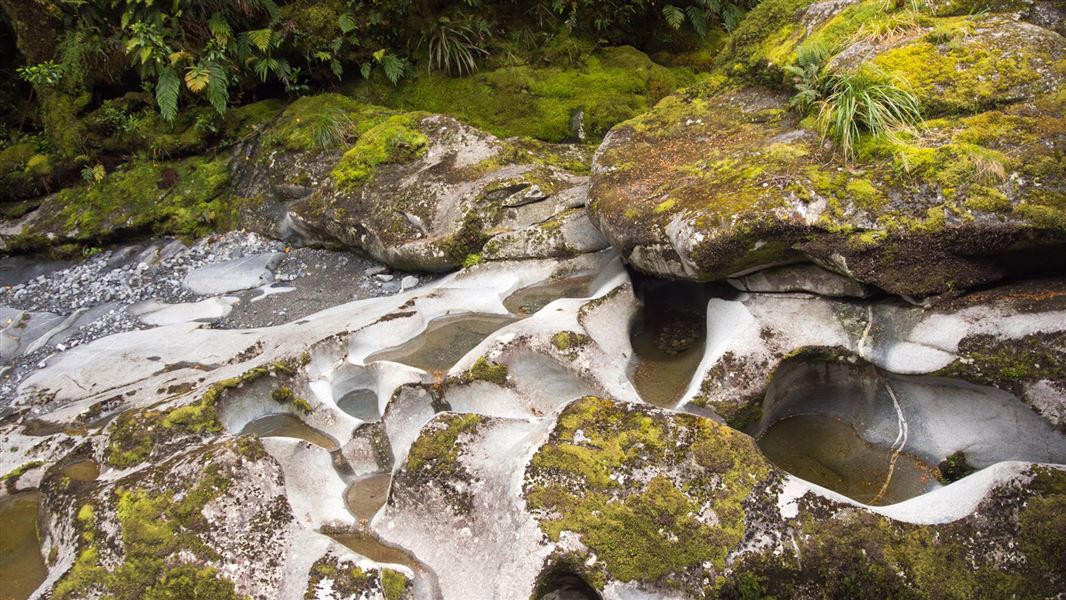
The Chasm Walk
Easiest • 20 min • 400 m • 8.85 km away
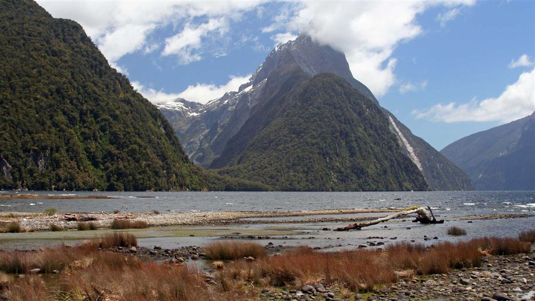
Milford Foreshore Walk
Easiest • 30 m • 400 m • 9.14 km away
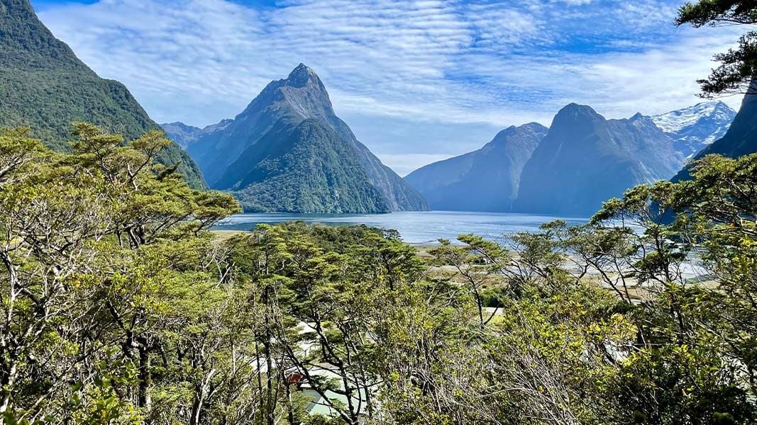
Milford Sound Lookout Track
Easy • 20 min • 400 m • 9.19 km away
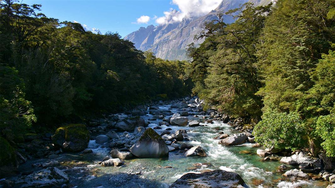
Tūtoko Valley Route
Expert • 5 hr return via same track • 4 km • 13.81 km away
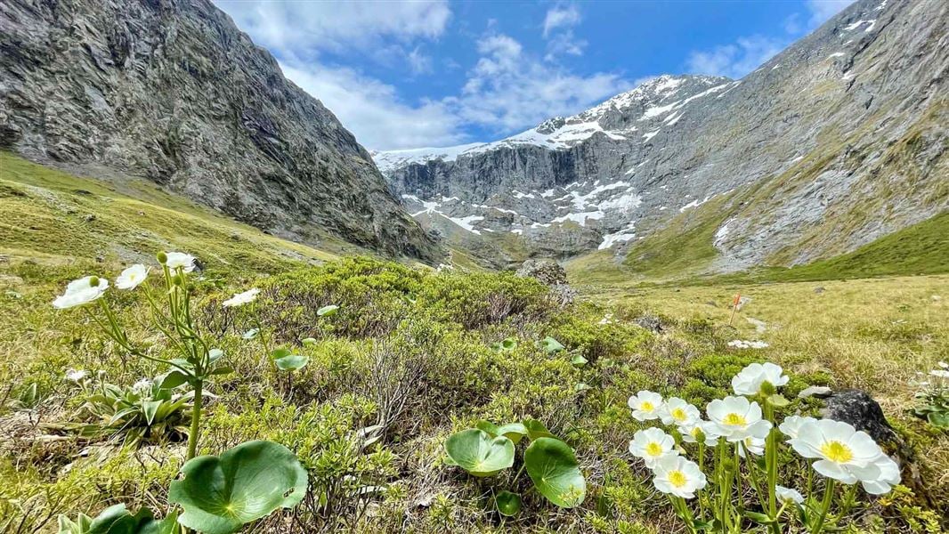
Gertrude Saddle Route
Expert • 4-6 hr • 7 km • 14.51 km away
Notes from people who have been
No notes yet. If you have been, say what you found.
Something missing or out of date?
Closed, moved, wrong facts, or something we have missed? Travellers keep the Road Guide up to date. Tell us what you found at contribute@parkup.nz and we will check it and add it.
Ask us to take this down
A person reads every request. We do not remove a place until we have checked it.
Sources
- DOC Tracks (API) · CC BY 4.0Crown Copyright: Department of Conservation Te Papa Atawhai. Data sourced from the DOC Developer Portal (api.doc.govt.nz).