Tūtoko Valley Route
WalkSouthland
- Grade
- Expert
- Walking time
- 5 hr
- Distance
- 4 km
- Dogs
- No dogs
Getting there
We have not checked a road end or car park for this place yet, so we do not give driving directions to it. Check how to get there before you go. Some routes cross private land and need the landowner's permission.
How to get there, on doc.govt.nzThe route begins from the Milford Road, Fiordland.
The Tūtoko River bridge carpark is only a few minutes drive from Milford Sound, and about 114 km along the Milford Road from Te Anau.
Source: DOC Te Papa Atawhai.
Map
Map data © OpenStreetMap contributors. Topo map: LINZ, CC BY 4.0. 44.65507° S, 167.98033° E
About this place
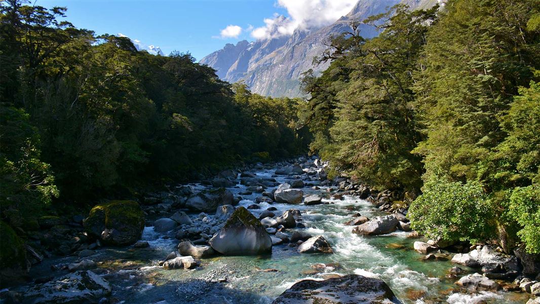
This challenging tramping route leads up the Tūtoko river valley through beech forest and open flats under impressive Fiordland mountain peaks.
The route
This is a challenging tramping route. From the Tūtoko River bridge carpark on the Milford Road, follow the marked track up the true right of the river to a swamp and open clearings that may be reached in about 2 hours. Return the same way. This valley sits just below some very impressive mountains, in particular Mt Tūtoko (2745 m).
Source: DOC Te Papa Atawhai.
Nearby stops

Hidden Falls Hut
Serviced • 12 bunks • Southland • 11.2 km
Hidden Falls Hut is a serviced 12-bunk hut located in northern Fiordland.
Heating • Mattresses • Toilets - non-flush
Sunshine Hut
Southland • 11.3 km
Homer Hut
Southland • 12.6 km
Homer Hut is a hut located in the Southland region of New Zealand. The provided data does not include further details about its facilities or location.
Boatshed Hut
Southland • 16.8 km
Boatshed Hut is a backcountry hut located in the Southland region of New Zealand. The provided records do not list specific facilities or additional details…

Lake Alabaster Hut
Serviced • 26 bunks • Southland • 17.8 km
Lake Alabaster Hut is a serviced 26-bunk hut located on the Hollyford Track in Fiordland National Park.
Heating • Mattresses • Toilets - non-flush
Walks nearby
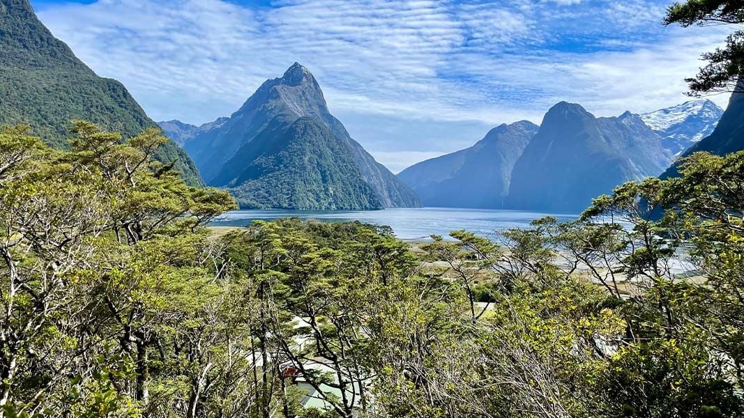
Milford Sound Lookout Track
Easy • 20 min • 400 m • 4.73 km away
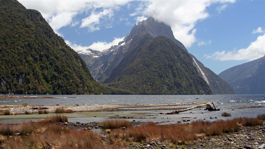
Milford Foreshore Walk
Easiest • 30 m • 400 m • 4.87 km away
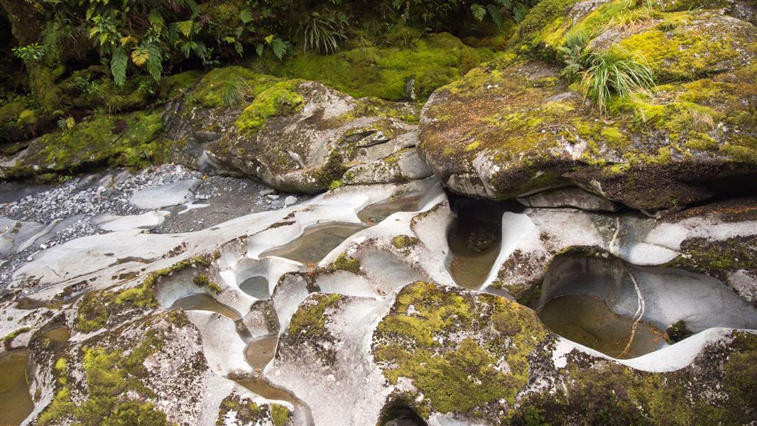
The Chasm Walk
Easiest • 20 min • 400 m • 7.89 km away
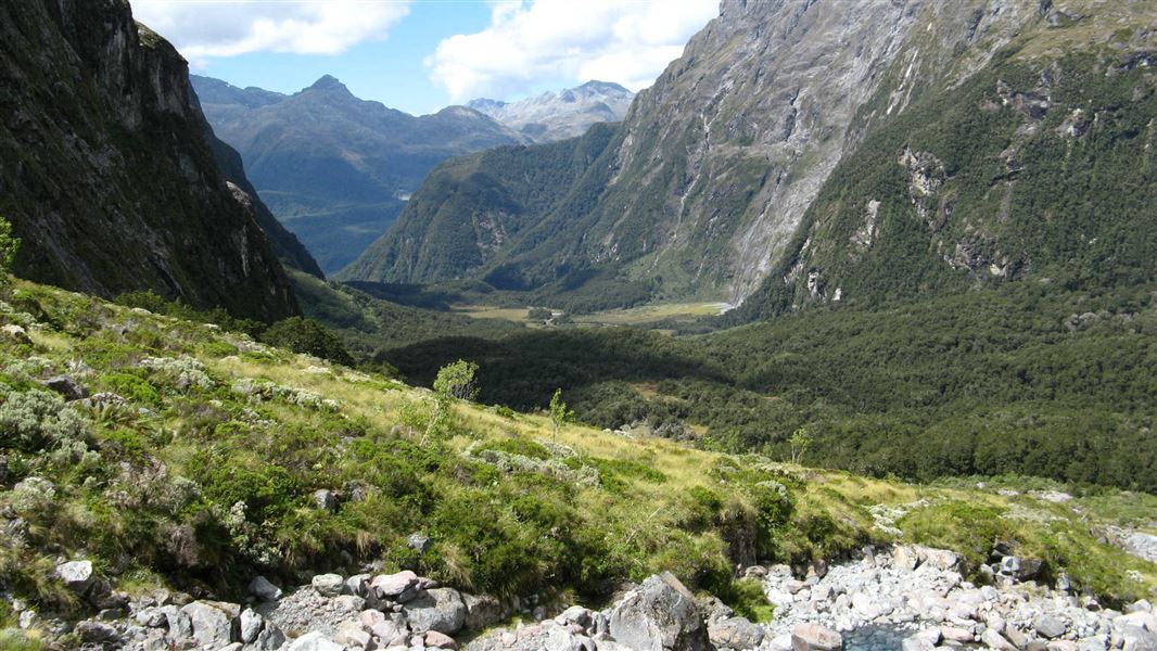
Moraine Creek Route
Expert • 7-9 hr to lake, 9-11 hr to bivvy rock • 5.5 km • 11.04 km away
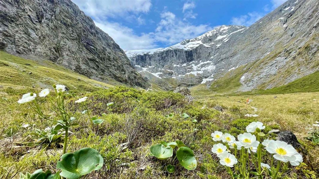
Gertrude Saddle Route
Expert • 4-6 hr • 7 km • 11.44 km away
Notes from people who have been
No notes yet. If you have been, say what you found.
Something missing or out of date?
Closed, moved, wrong facts, or something we have missed? Travellers keep the Road Guide up to date. Tell us what you found at contribute@parkup.nz and we will check it and add it.
Ask us to take this down
A person reads every request. We do not remove a place until we have checked it.
Sources
- DOC Tracks (API) · CC BY 4.0Crown Copyright: Department of Conservation Te Papa Atawhai. Data sourced from the DOC Developer Portal (api.doc.govt.nz).