Mikonui Spur Bivvy
Basic/bivvies hutMikonui River - Kakapotahi River area, West CoastOpen
- Sleeps
- 2 bunks
- Booking
- Not bookable
- Cost
- Free
- Heating
- None
- Water
- Yes
- Toilet
- Non-flush
Getting there
We have not checked a road end or car park for this place yet, so we do not give driving directions to it. Check how to get there before you go. Some routes cross private land and need the landowner's permission.
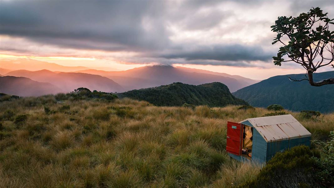
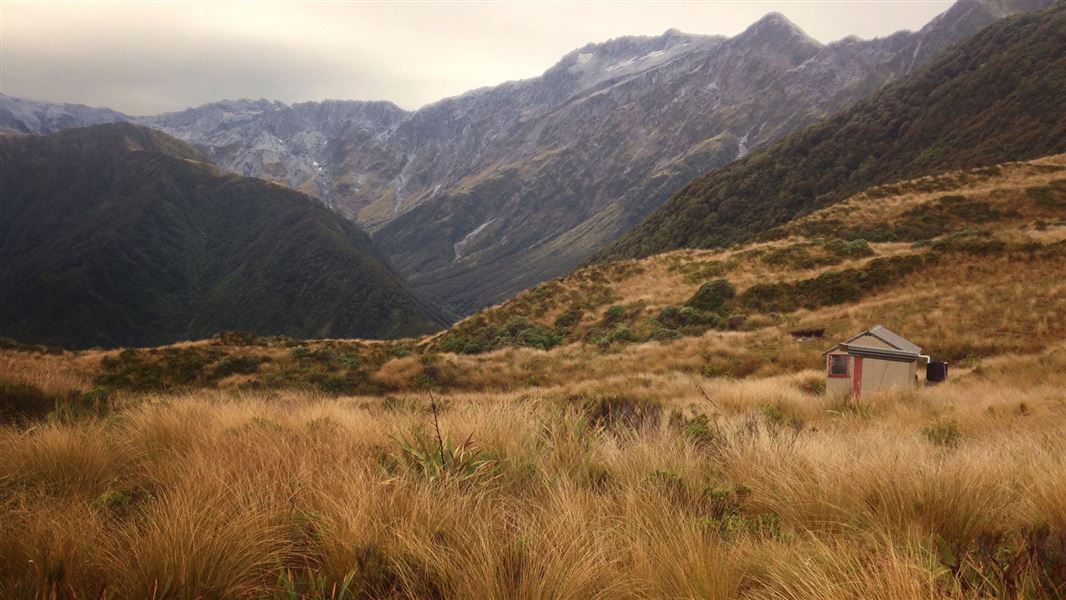
How to get there, on doc.govt.nzMikonui Spur Bivvy is located in the tussock on Mikonui Spur. It can be accessed from the Mikonui roadend. It starts at the mouth of Dickson River, on the true right bank, and is cut and marked to the tussock. The biv is on a level bench on the ridge top just below the scrub limit. Mikonui Spur Bivvy is part of a maintained tops circuit over into Noisy basin and the Whitcombe valley.
Mikonui Spur Bivvy on Remote Huts website
- Topo map
- Topo50 sheet BV18
- Grid reference
- E1431920, N5234041
Source: DOC Te Papa Atawhai.
Map
Map data © OpenStreetMap contributors. Topo map: LINZ, CC BY 4.0. 43.02929° S, 170.93662° E
About this place
This is a basic two-bunk hut in the Hokitika area.
Fees and bookings
Free
Source: DOC Te Papa Atawhai.
Nearby stops
Explorer Hut
Basic/bivvies • 4 bunks • West Coast • 2.9 km
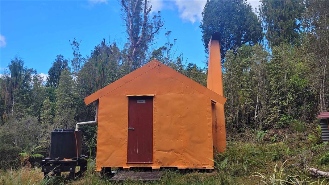
Explorer Hut is a basic four-bunk hut located in the Hokitika area of the West Coast.
Heating • Mattresses • Toilets - non-flush
Healey Creek Hut
Basic/bivvies • 4 bunks • West Coast • 3.1 km
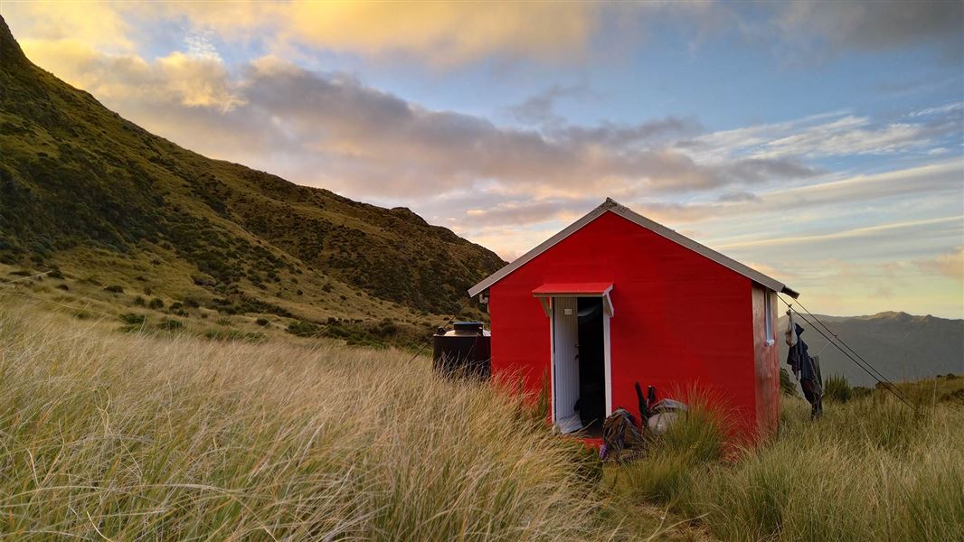
Healey Creek Hut is a basic four-bunk hut located in the Hokitika area of the West Coast.
Mattresses • Toilets - non-flush • Water from stream
Mikonui Flat Hut
Standard • 6 bunks • West Coast • 5.1 km
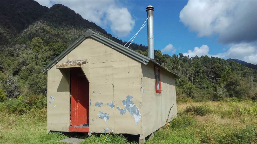
Mikonui Flat Hut is a standard six-bunk hut located in the Hokitika area of the West Coast.
Heating • Mattresses • Toilets - non-flush
Dickie Spur Hut
Basic/bivvies • 4 bunks • West Coast • 6.4 km
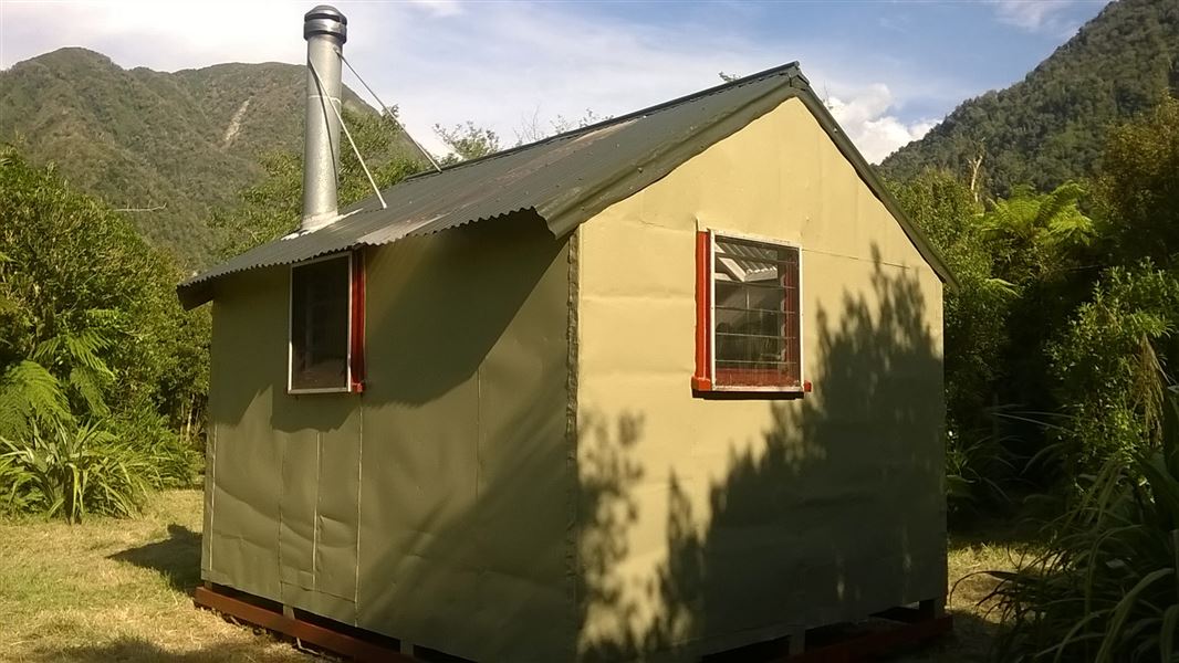
Dickie Spur Hut is a basic four-bunk hut located in the Hokitika area of the West Coast.
Mattresses • Toilets - non-flush • Water from tap - not treated, boil before use
Rapid Creek Hut
Standard • 4 bunks • West Coast • 6.4 km
Rapid Creek Hut is a standard four-bunk hut located in the Hokitika area of the West Coast.
Heating • Mattresses • Toilets - non-flush
Walks nearby
Contact
Paparoa National Park Visitor Centre
4294 Coast Road, Punakaiki, RD 1 Runanga 7873
Regional DOC service centre.
Notes from people who have been
No notes yet. If you have been, say what you found.
Something missing or out of date?
Closed, moved, wrong facts, or something we have missed? Travellers keep the Road Guide up to date. Tell us what you found at contribute@parkup.nz and we will check it and add it.
Ask us to take this down
A person reads every request. We do not remove a place until we have checked it.
Sources
- OpenStreetMap Huts · ODbL (Open Database License)Contains information from OpenStreetMap, made available under the ODbL.
- DOC Huts · CC BY 4.0Data sourced from the Department of Conservation (DOC), New Zealand.
- DOC Huts (API) · CC BY 4.0Crown Copyright: Department of Conservation Te Papa Atawhai. Data sourced from the DOC Developer Portal (api.doc.govt.nz).