Whitcombe Pass Track
WalkWest Coast
- Grade
- Advanced
- Walking time
- 4 days
- Dogs
- DOC permit only
Access: read before you go
The road is prone to flooding part way along and is sometimes impassable to vehicles. From the carpark use the stile to get past the locked gate and then follow the marked 4WD road to the Hokitika River.
Source: DOC Te Papa Atawhai.
Getting there
We have not checked a road end or car park for this place yet, so we do not give driving directions to it. Check how to get there before you go. Some routes cross private land and need the landowner's permission.
How to get there, on doc.govt.nzAccess from Hokitika is via the Kaniere/Kowhitirangi Road travelling toward the Hokitika Gorge some 30 km inland from Hokitika.
After leaving the sealed road, cross two concrete bridges (Diedrich and Granite Creeks). A side road to the left some 100 m past the second bridge leads to the Whitcombe road end. This side road is signposted 'Access to Whitcombe Valley'.
The road is prone to flooding part way along and is sometimes impassable to vehicles. From the carpark use the stile to get past the locked gate and then follow the marked 4WD road to the Hokitika River.
Source: DOC Te Papa Atawhai.
Map and tracks
Track lines: DOC Te Papa Atawhai. Map data © OpenStreetMap contributors. Topo map: LINZ, CC BY 4.0. 43.09931° S, 171.01453° E
About this place
The Whitcombe Pass Track takes you through the very rugged bush clad valleys of the lower Hokitika and Whitcombe Rivers to the Main Divide. This guide describes the route from the Hokitika road end to Whitcombe Pass only.
The route
The Whitcombe Pass Track takes you through the very rugged bush clad valleys of the lower Hokitika and Whitcombe Rivers to the Main Divide. During winter and early spring months you can expect snow to the valley floor in the Whitcombe headwaters. This track is suitable for fit, well equipped and experienced backcountry trampers only. The best seasons to go are summer and autumn. The first few km of track are the historic benched remains of what was to be the Mathias Pass Road linking the West Coast with Canterbury.
Car park to Rapid Creek Hut
Time: 2 hr 30 min - 3 hr 30 min
Once at the road end drop down to the riverbed and walk upstream along the river’s edge for 15-20 minutes to where rock cairns and orange markers show the way to the cut track. Climb up the bank and follow this benched track to the Rapid Creek cableway which spans the Hokitika River just below Rapid Creek Hut. Cross the cableway to the true left bank. See guidance on using the cableway under 'Know before you go'. Five minutes walk along the track brings you to Rapid Creek Hut. This hut has 4 bunks and a wood stove. Note: Ignore the locked cableway at the road end.
Rapid Creek Hut to Frew Hut
Time: 3 - 4 hr
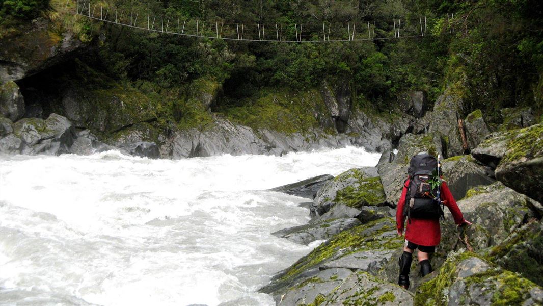
Following heavy rainfall Rapid Creek quickly becomes impassable. Once across Rapid Creek the Hokitika River bed is followed for a further 300 m before entering the bush to cross a low terrace to join the Whitcombe River just above the Hokitika/Whitcombe Junction. Travel from here to the Collier Gorge Swing Bridge across the Whitcombe River alternates between the riverbed and along sections of track cut through the bush. The river boulders are huge through this section. Cross Collier Gorge Bridge to the true right and travel is via the riverbed to Dick Creek where a short section of track is picked up before dropping back onto the riverbed 1 km below Tom Creek. The route remains on the riverbed until you are below Frew Hut, just downstream of the Frew Creek confluence with the Whitcombe River. Frew Hut is reached by following a short track onto a low terrace above the true right bank of Frew Creek. Frew Hut contains 10 mattresses on two platforms, a table, platforms and a wood stove.
Frew Hut to Price Flat Hut
Time: 5 - 6 hr
From Frew Hut, drop down to Frew creek and cross it. The track re-enters the bushon the true left bank of Frew Creek some 100 m above the Frew Creek/Whitcombe River. After heavy rain Frew Creek becomes impassable. The track travels through the bush above the river. After about one hour it by-passes the Cropp Swing Bridge (do not cross) and drops down to the riverbed for a short distance before re-entering the bush to lead to Vincent Creek swing bridge. Cross this bridge and travel down the true left of Vincent Creek for 30 to 40 metres to a spot where the track leaves the creek bed. Between here and Price Flat the track occasionally returns to the riverbed but generally sidles above the river crossing numerous creeks and slips. These slips are potentially active at times, some of these slips the route markers may have been obliterated and the route may no longer be well defined. Care is needed assess the slip and to locate track entrances before proceeding. Generally exit and entrance points over the slips are at similar levels. Additional time may be required to travel over the slips if rockfall is present, or if recent weather events have worsened the slips. From the lower end of Price Flat the route passes Price Flat Swing Bridge (do not cross). It then returns to the riverbed. Follow the riverbed until a marker pole shows the way onto grassed flats. The historic slab hut on the flat is habitable but there is a more recent hut on the terrace above. This hut is reached via a short section of track which leaves the main valley track between the historic hut and Cataract Creek Swing Bridge. Price Flat Hut has 6 bunks and a wood stove.
Price Flat to Neave Creek Hut
Time: 4 - 5 hr
After leaving Price Flat Hut and crossing Cataract Creek the track continues across the bush face crossing or climbing above large, active slips before returning to the riverbed just above Chairman Creek. From Chairman Creek the track follows the riverbed for several hundred metres before re-entering the bush and continuing up the valley. On the way up valley the track passes a sign posted side track which leads to Wilkinson Hut. This side track crosses the Whitcombe River to the true left via a swing bridge. It takes 15-20 minutes to reach Wilkinson Hut which has 4 bunks and an open fire. The main valley track continues through the bush to Neave Creek Hut passing Cave Camp at the Wilkinson river/Whitcombe River confluence. From here, there are excellent views of Mt Evans and the Wilkinson Ice Fall, and Shelf Glacier. From Cave Camp the track to Neave Creek Hut alternates between bush and riverbed travel, at one part climbing high above the Whitcombe. Neave Creek Hut has 6 bunks and a wood stove.
Neave Creek Hut to Whitcombe Pass
Time: 3 - 4 hr
From Neave Creek Hut the track leads through alpine scrub to the Whitcombe River near the Gateway. From here travel to the Pass is via the riverbed, crossing the river where convenient.
Source: DOC Te Papa Atawhai.
Know before you go
Hazards
Flooded rivers and side streams. Snow and ice in the headwaters during winter. Some of the steep side streams at this level become avalanche chutes during winter/early spring.
Stay safe when crossing rivers and streams
If you plan to cross unbridged rivers or side streams, know how to cross safely and be prepared for if you cannot cross. Do not cross if the river or stream is flooded, you cannot find safe entry and exit points or are unsure it’s safe. Turn back or wait for the river to drop. If in doubt, stay out. How to cross rivers safely NIWA river flow forecasts: View a video of national followed by regional river flows
Using the cableway
A cableway is used to cross rivers on this trip. Take time to read the on-site instructions and familiarise yourself with the operation of the cableway before crossing Use of this cableway carries risks, so follow the operating instructions carefully. It is recommended that you do not use this cableway unless part of a larger party or carrying a personal locator beacon (PLB). Never place your hands on main cable, and keep hands, clothing and long hair clear of all wheels. In the event of an emergency where the carriage becomes stuck, remain where you are and activate your PLB or have your party seek help. Removal of cableway and swing bridges Rapid Creek swing bridge has been removed due to serious erosion undermining its foundations. If you plan to travel up or down the Whitcombe Valley you will have to cross the Rapid Creek – it is only crossable in low to normal flows.
Source: DOC Te Papa Atawhai.
Joins these tracks
Source: DOC Te Papa Atawhai.
On this track
In walking order.
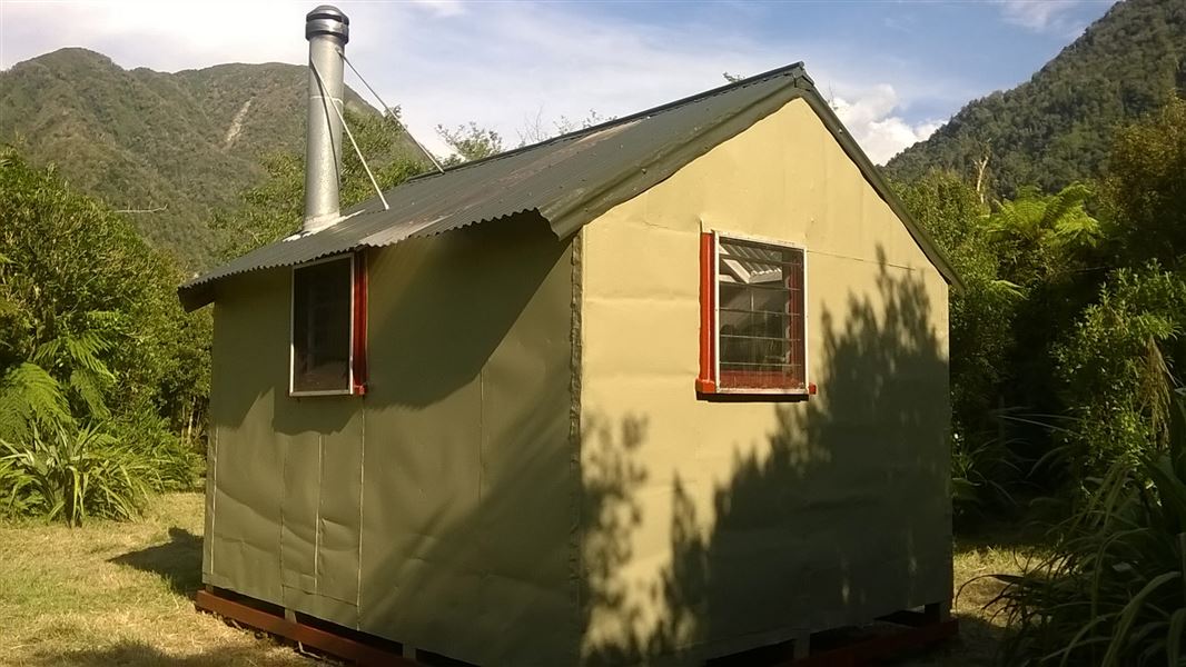
Rapid Creek Hut
Standard • 4 bunks • West Coast
- Toilet
- Heating
- Water
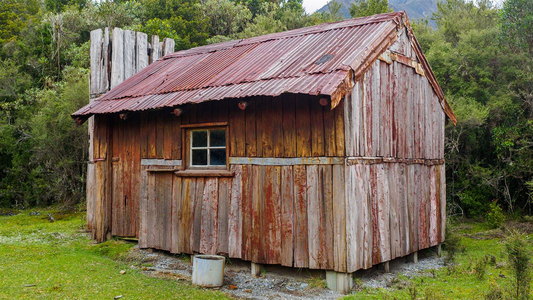
Historic Price Flat Hut
Basic/bivvies • 4 bunks • West Coast
- Toilet
- Water
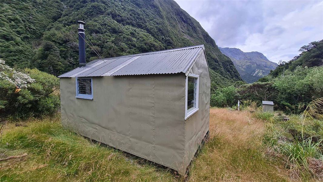
Neave Hut
Standard • 6 bunks • West Coast
- Toilet
- Heating
- Water
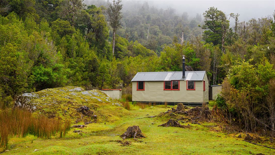
Price Flat Hut
Standard • 7 bunks • West Coast
- Toilet
- Heating
- Water
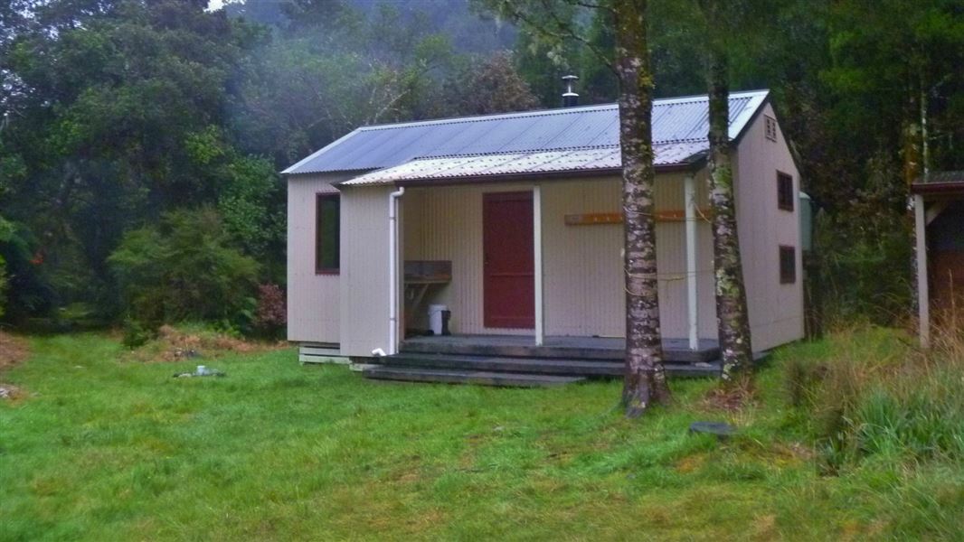
Frew Hut
Standard • 10 bunks • West Coast
- Toilet
- Heating
- Water
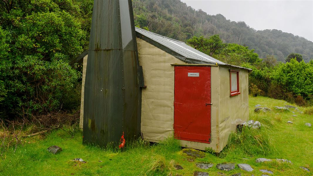
Wilkinson Hut
Basic/bivvies • 4 bunks • West Coast
- Toilet
- Heating
- Water
Nearby stops
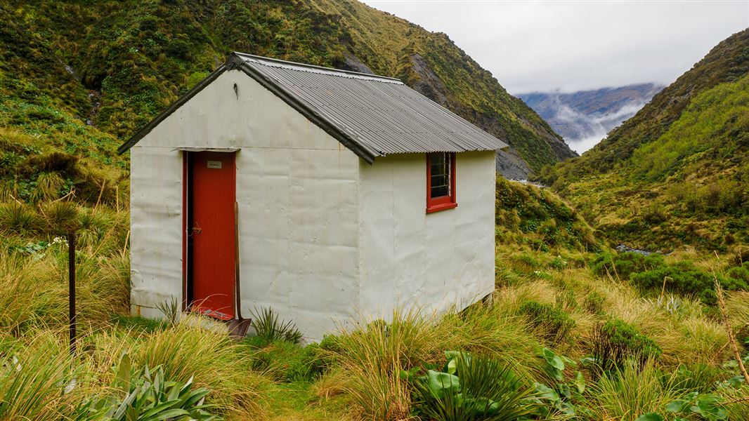
Price Basin Hut
Basic/bivvies • 4 bunks • West Coast • 5.4 km
Price Basin Hut is a basic four-bunk hut located in the Hokitika area of the West Coast.
Mattresses • Toilets - non-flush • Water from stream
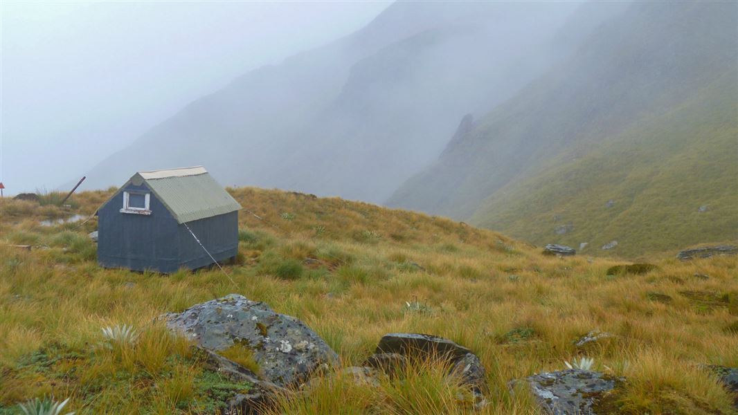
Frew Saddle Bivvy
Basic/bivvies • 2 bunks • West Coast • 6.7 km
Frew Saddle Bivvy is a basic two-bunk hut located in the Hokitika area of the West Coast.
Mattresses • Toilets - non-flush • Water from stream

Ivory Lake Hut
Basic/bivvies • 6 bunks • West Coast • 9.2 km
Ivory Lake Hut is a basic six-bunk hut located in the Hokitika area of the West Coast.
Mattresses • Water from stream • Water supply

West Mathias Bivvy
Basic/bivvies • 2 bunks • Canterbury • 9.6 km
West Mathias Bivvy is a basic two-bunk hut located in the Mid and South Canterbury area.
Heating • Mattresses • Toilets - non-flush
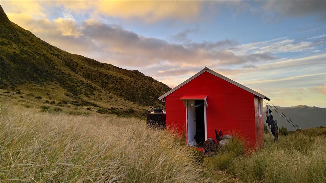
Healey Creek Hut
Basic/bivvies • 4 bunks • West Coast • 10 km
Healey Creek Hut is a basic four-bunk hut located in the Hokitika area of the West Coast.
Mattresses • Toilets - non-flush • Water from stream
Walks nearby
Notes from people who have been
No notes yet. If you have been, say what you found.
Something missing or out of date?
Closed, moved, wrong facts, or something we have missed? Travellers keep the Road Guide up to date. Tell us what you found at contribute@parkup.nz and we will check it and add it.
Ask us to take this down
A person reads every request. We do not remove a place until we have checked it.
Sources
- DOC Tracks (API) · CC BY 4.0Crown Copyright: Department of Conservation Te Papa Atawhai. Data sourced from the DOC Developer Portal (api.doc.govt.nz).